Today we rode from Elkford, British Columbia, Canada to Sparwood, British Columbia, Canada. Again we could enjoy a nice sunny day, not as warm as the days and that is all OK. Highlights of the day include seeing hot springs, saw a whole lot of cows and calves, nice single track.
Riding statistics: on Wednesday August 3, 2022, the 3rd day on the Great Divide Mountain Bike Route route, it took 04:56h (03:45h moving time), between 08:00 and 12:57, to cover 47 km (29 miles), including 434 m (1424 ft) elevation gain, with an average speed of 12 km/h (8 mph). During today's ride the average temperature was 22 °C (74 °F) with a minimum of 6 °C (42 °F) and a maximum of 35 °C (100 °F).
Totals: So far, it took 0 days, 17 hours, 8 minutes and 5 seconds of cycling time to cover 227 km (141 miles), including 2741 m (8993 ft) elevation gain, with an average speed of 13.3 km/h (8.2 mph).
Elk Valley Trail
Just before we entered Elkford yesterday we did some difficult single track. This trail is called The Elk Valley Trail. After leaving Elkford this morning we continued on this trail. Already within a few minutes we saw two bike packers walking up a jeep road. The same road we had to take. Fortunately it was not that bad that we had to walk, but it definitely resulted into a solid warm up. The trail was really nice and was a mixture of single and jeep track. Not too steep so we never had to walk the bike. The scenery differed from dense vegetation, where we had to be extra careful for bears, and open meadows with cows and calves. If you near them they walk away. However we also neared a cow who was feeding two calves at the same tie, one left, one right. And she looked at us like she warned us to wait. So we waited. And waited. But after a while we got impatience and started to make some noise. One calve stopped drinking and went to the other side. There was the other calve who did not care anything about us. Finally, after some perseverance from our side, the second calve stopped as well and all three walked away enough so we could safely pass. We also passed a hot springs, not really beautiful, but still impressive. The rocks in there were a nice mixture of blue and green, ad of course we smelled the sulfur from a distance.
Leaving the Elk Valley Trail
After two hours on the Elk Valley Trail we come on paved road. First a back road, a little later on a busy road, fortunately with a wide shoulder. We only had to take that for about 3km and the we could take a left onto again a back road. This road went downhill, for a long time. Unfortunately there was again a brutal headwind. So we still had to paddle. The downhill ended, and we had to fight the headwind for almost an hour. After that we got onto single track again. First we had the wrong trail. Despite having a navigation device showing the GPX route you still have to pay attention. No worries. The trail we got was hardly passable, so it was adventurous, we were lucky finding the correct trail after about 10 minutes further down the trail. Once we left the trail we were in Sparwood.
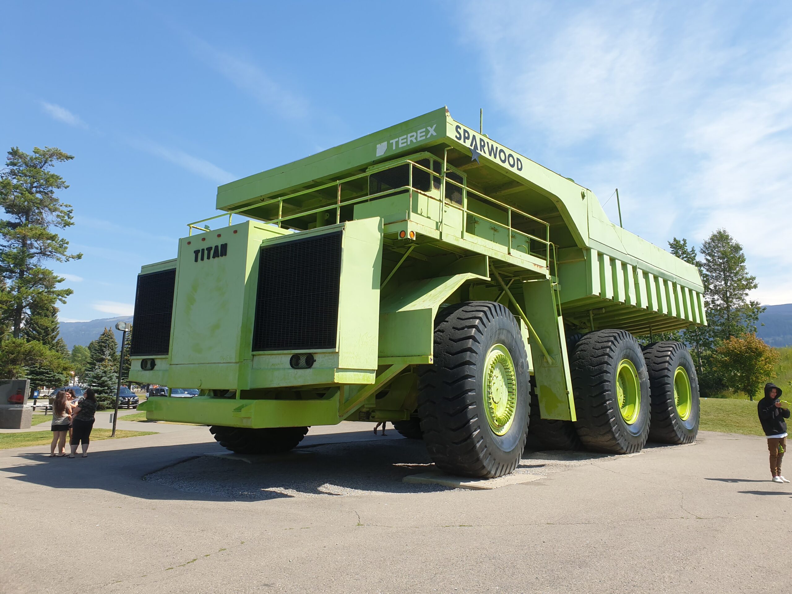
Sparwood
The reason for stopping in Sparwood is because we have to make the decision to take the Flathead Alternate or not. If we don’t we could have continued to the next town on the normal route for today. But after asking around, checking the weather forecast, and making jokes on the remoteness we decided to take the Flathead Alternate. It was on the wishlist anyway. Since we arrived at 1.30pm, we decided to some groceries, take it easy, do some laundry, and ate a big wrap at the Subway. This means that coming days we will be completely remote. No services whatsoever. So, no updates from my side, although the ‘Where am I page’ will be automatically updated of course. Today also visibility got worse. Somewhere in the (wide) area there are forest fires, and all smoke is blowing in our direction at the moment. You can even smell it.
Gallery