Today we rode from Butte, Montana, US to the 4th of July Campground, 12km after Wise River, Montana, US. We had very sunny weather with little clouds. Road conditions were included paved roads and gravel roads in good condition (besides some washboarding). Highlights of the day include the changes in scenery and passing Fleecer Ridge.
Riding statistics: on Sunday August 14, 2022, the 14th day on the Great Divide Mountain Bike Route route, it took 11:18h (08:07h moving time), between 07:01 and 18:19, to cover 107 km (67 miles), including 1770 m (5807 ft) elevation gain, with an average speed of 13 km/h (8 mph). During today's ride the average temperature was 28 °C (86 °F) with a minimum of 8 °C (46 °F) and a maximum of 50 °C (130 °F).
Totals: So far, it took 3 days, 21 hours, 32 minutes and 56 seconds of cycling time to cover 1285 km (799 miles), including 16979 m (55708 ft) elevation gain, with an average speed of 14 km/h (8.7 mph).
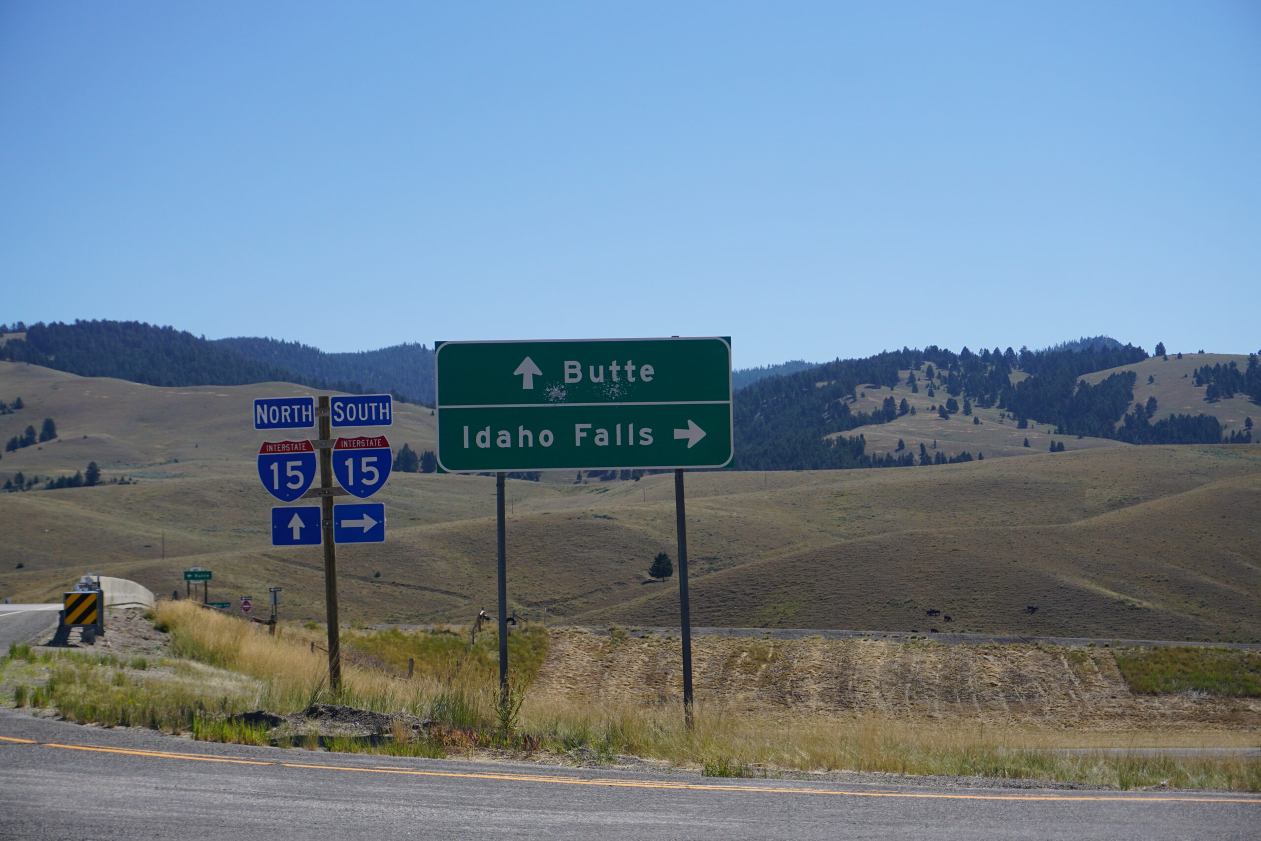
Leaving Butte
Our alarm clocks were set to 6am so that we could leave around 7am. Unfortunately it was not a problem for us because we were both awake before the alarm clock, but tired as h*ll. It was not the best night at the KOA campground in Butte. Lots of noise in the evening, kids watching television shows in the cabin next to our campsite, youngster doing drag races on a nearby road, and cars arriving late on the campground itself. All in all, we felt tired, but pushed ourselves to get going. By following a partly closed bike path we were able to efficiently get back on the route. We had some more detailed views on the mining area, and although Sunday, people were at work over there.
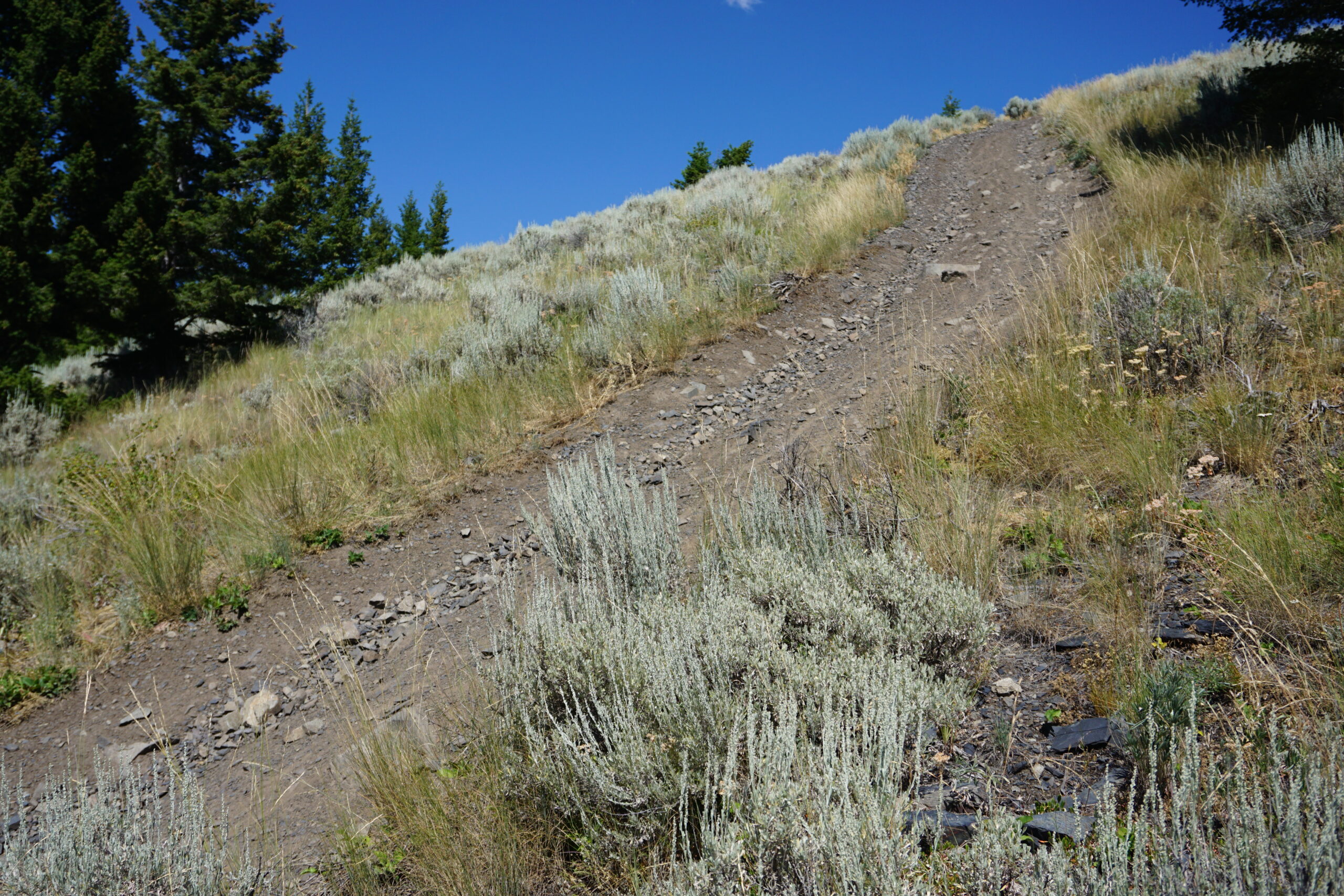
The first pass of the day
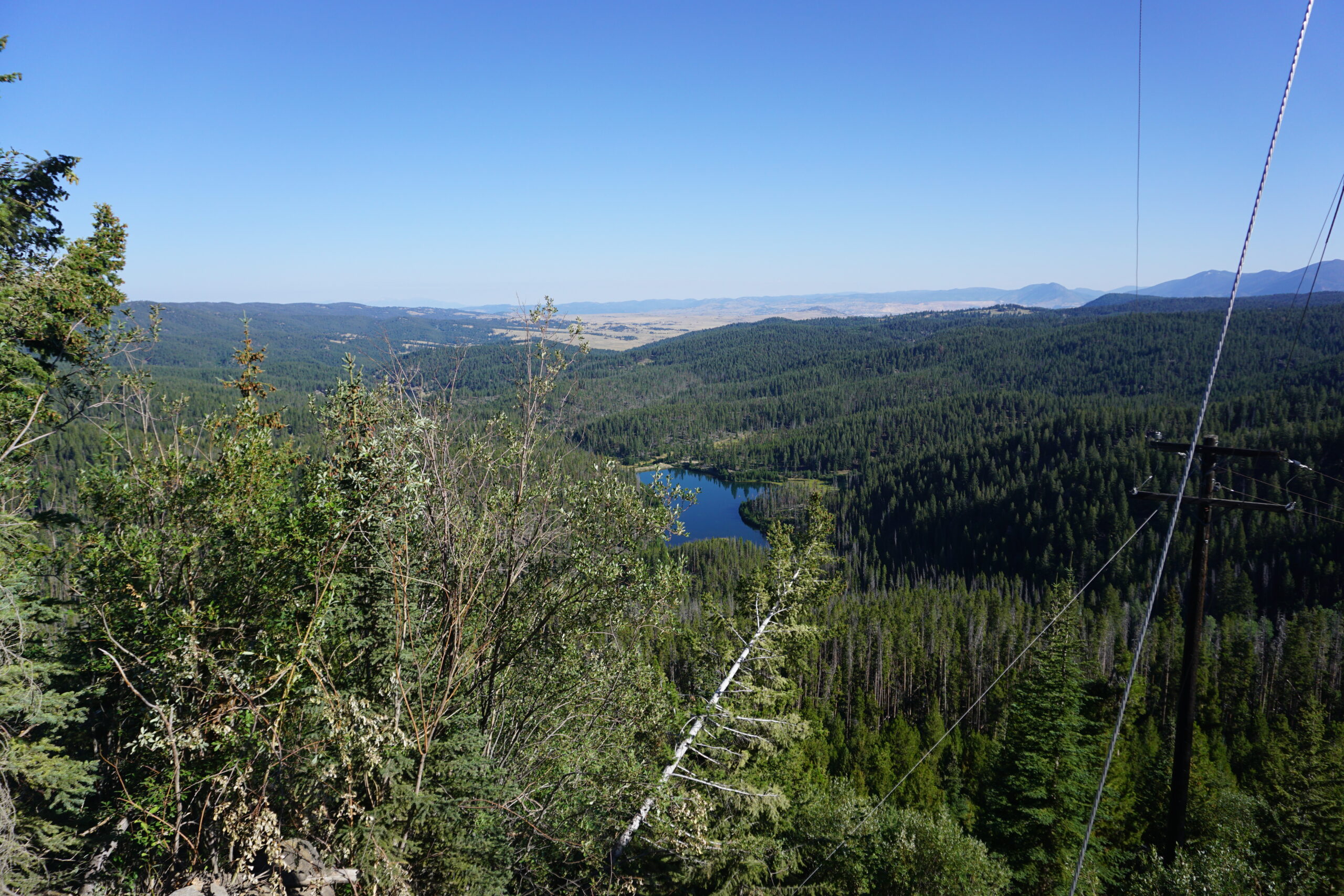
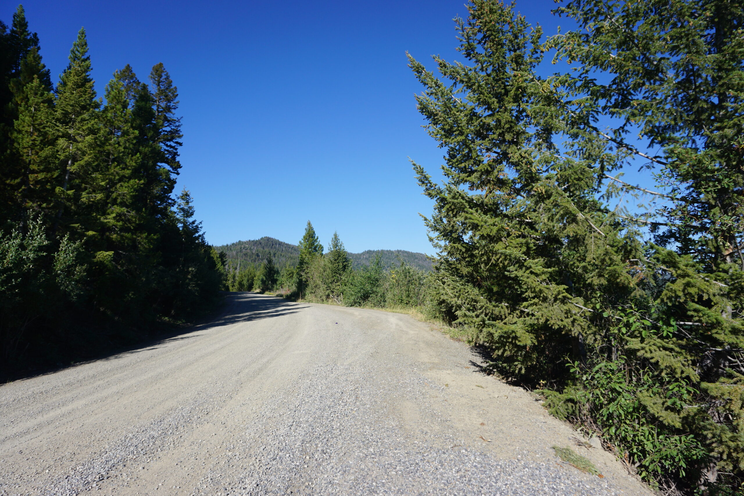
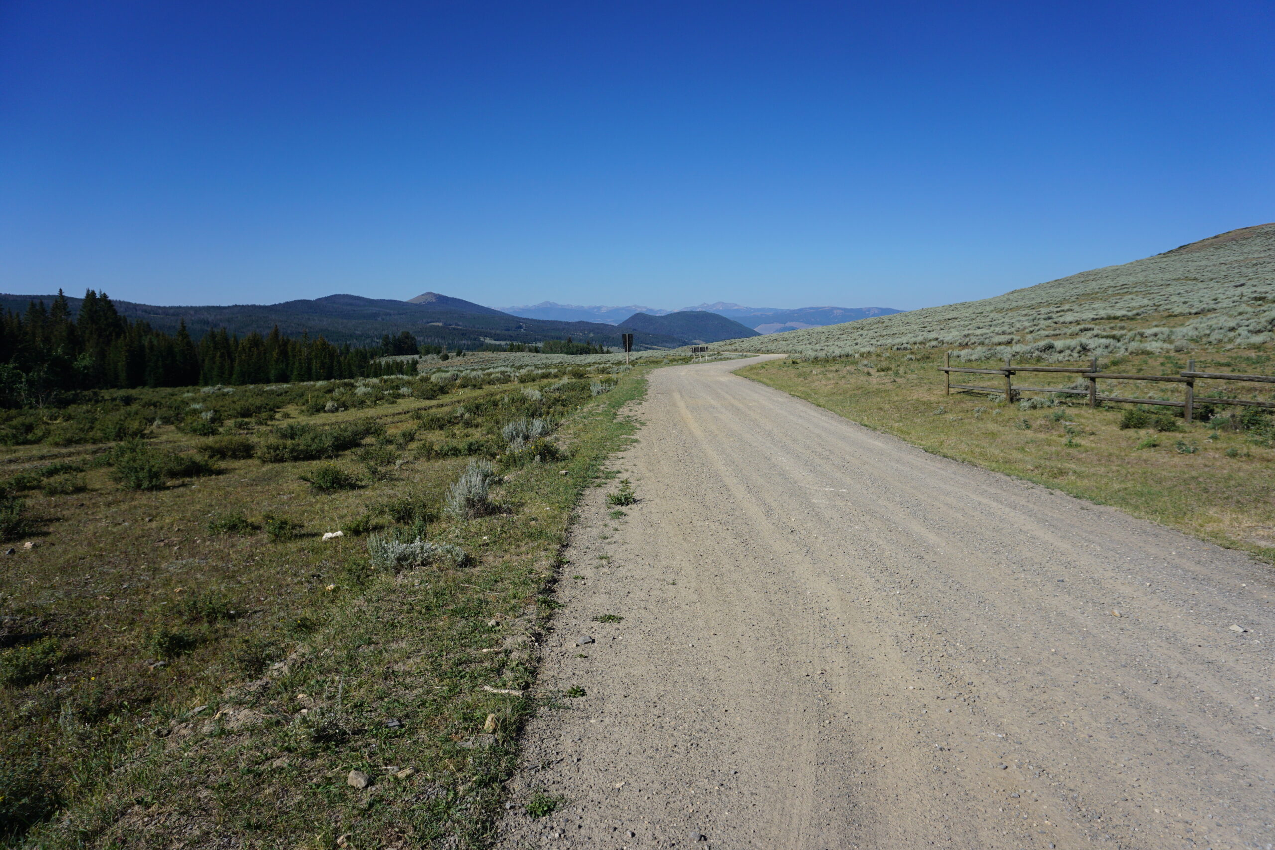
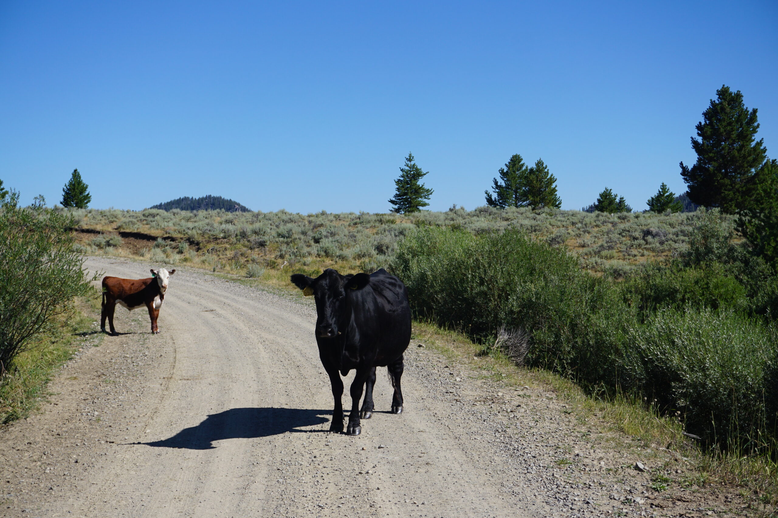
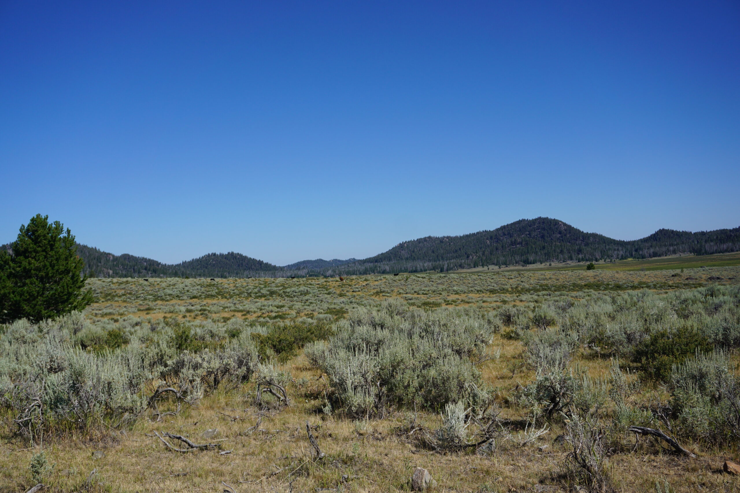
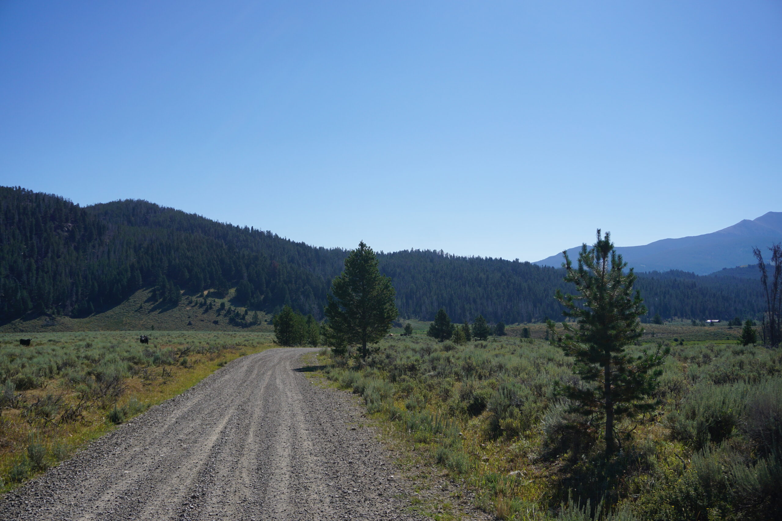
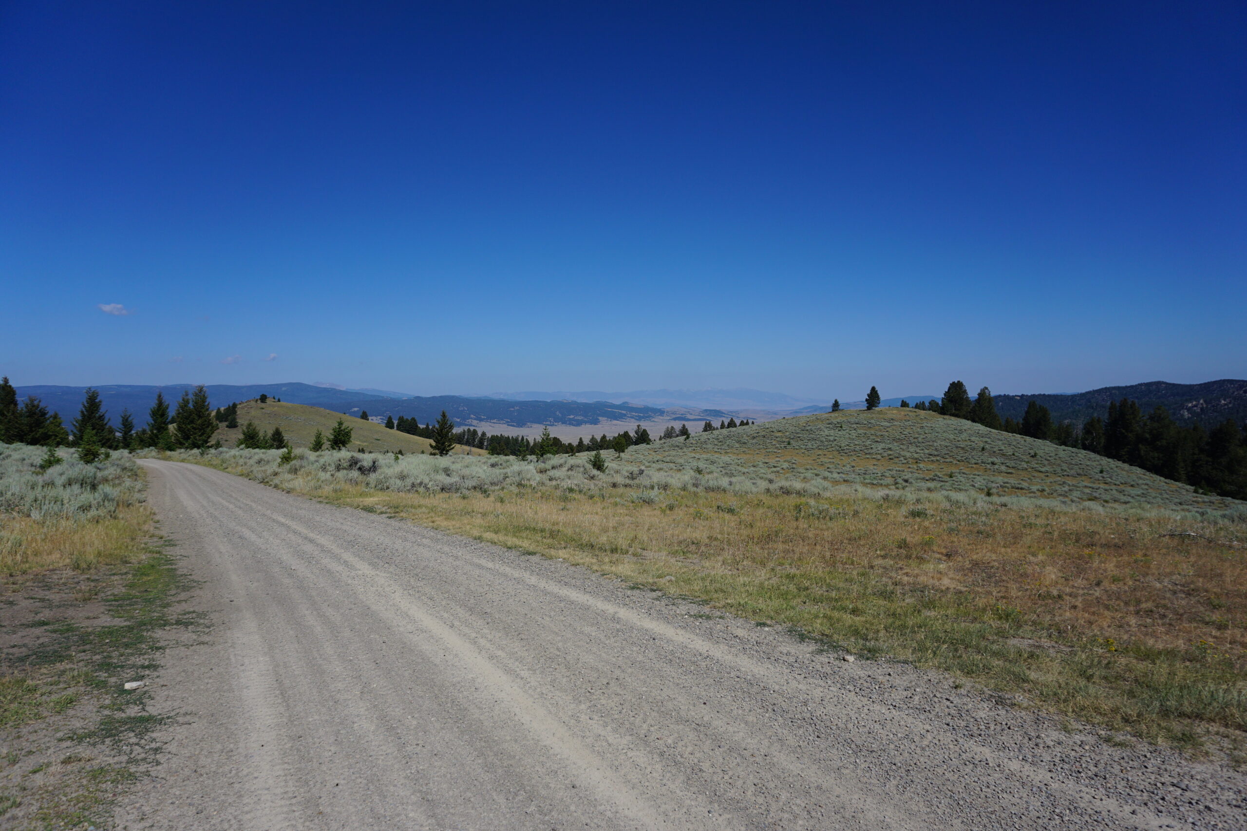
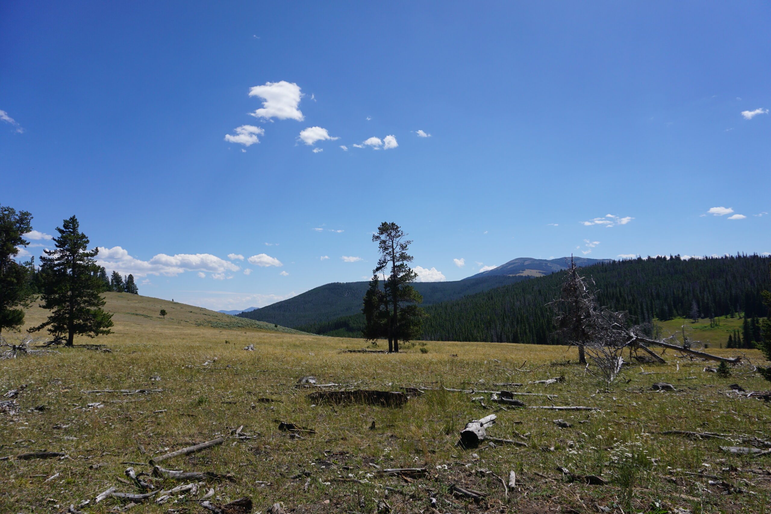
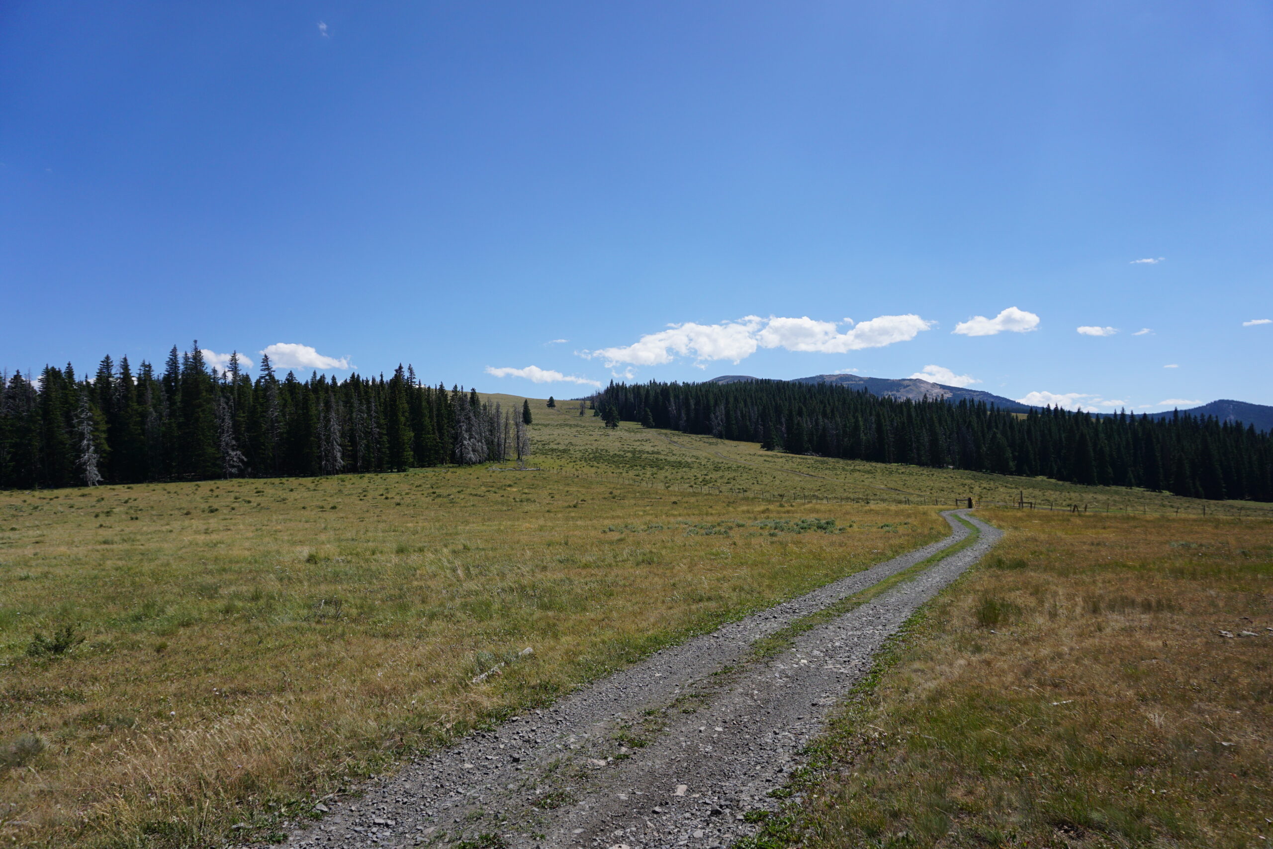
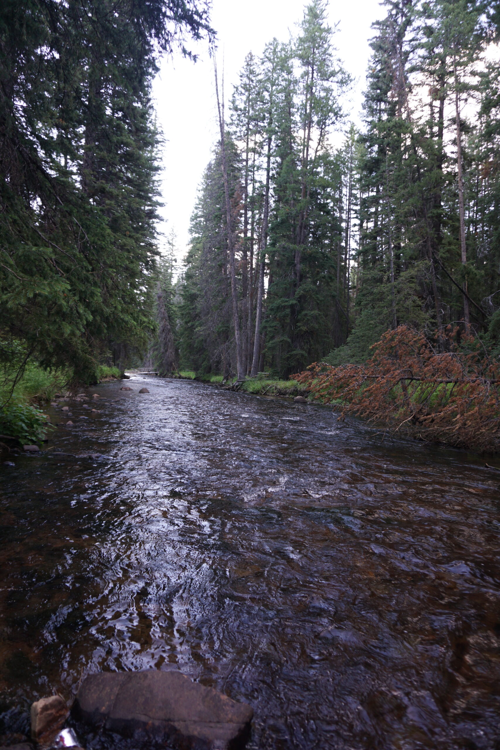
About 17km after the town of Butte, we turned of the paved road (which was very quite because it was a frontage road next to the highway). Gravel started, and our first climb as well, we directly had a steep uphill. However, surprisingly my body did not have any issue with the bad sleep of last night. I was happy climbing up the pass. Besides some steep sections, it was a very good gravel road, and all in all very gradually uphill. About 30km out we had a magnificent view of the mountains, forests, and the town of Butte in the far distance. We could see the mine pits from where we stood. The whole morning we rode in the shade of the mountains and the trees and that made a very nice temperature to bike in. When we arrived at the top of the pass, there was a downhill. During the climb and downhill, the scenery changes from dense forests, to beautiful outlooks, wandering roads over hill side with sage brush so we could see far in the distance. And of course our cow friends where there as well. After already quite a downhill we came to an outlook and saw the highway in the far distance below us. Even the trucks looked small. We got to have more downhill, all the way towards the little trucks and cars in the far distance. It was fun.
Fleecer Ridge
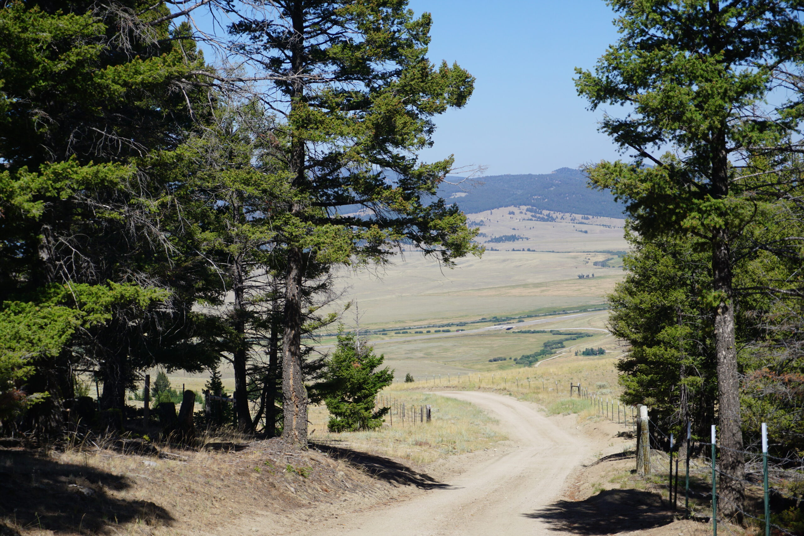
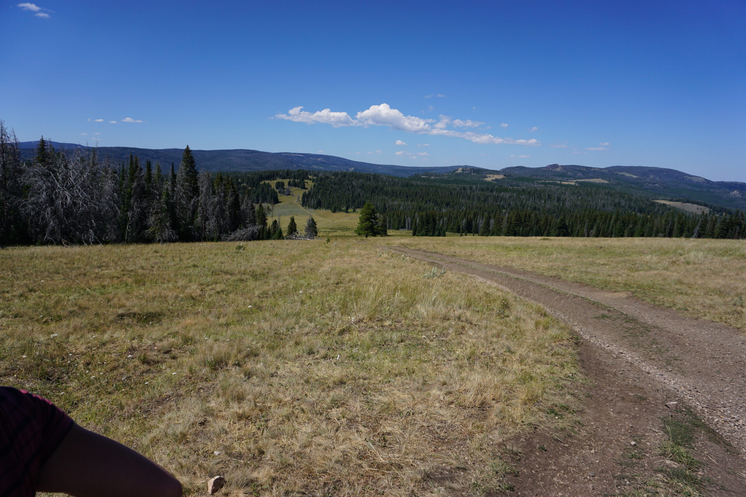
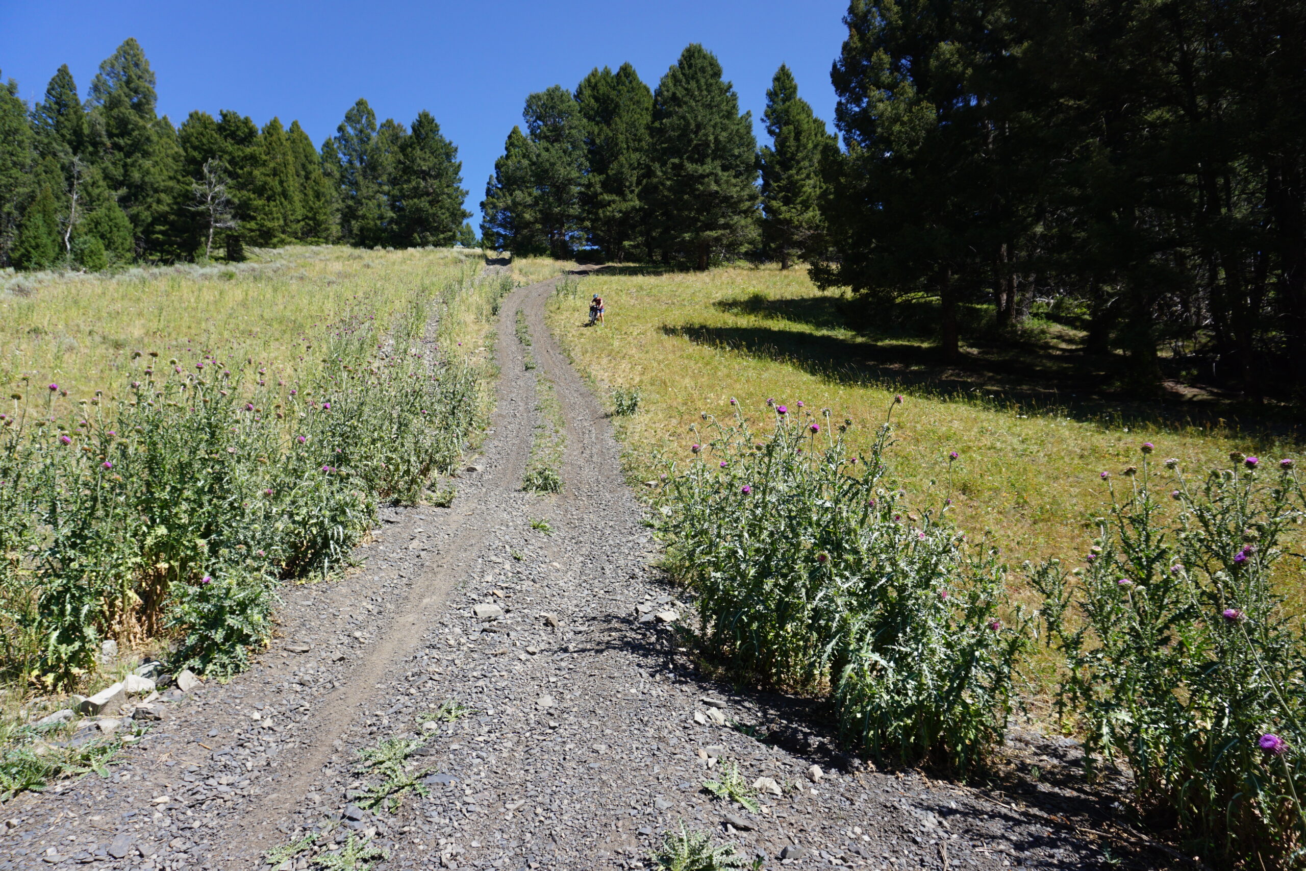
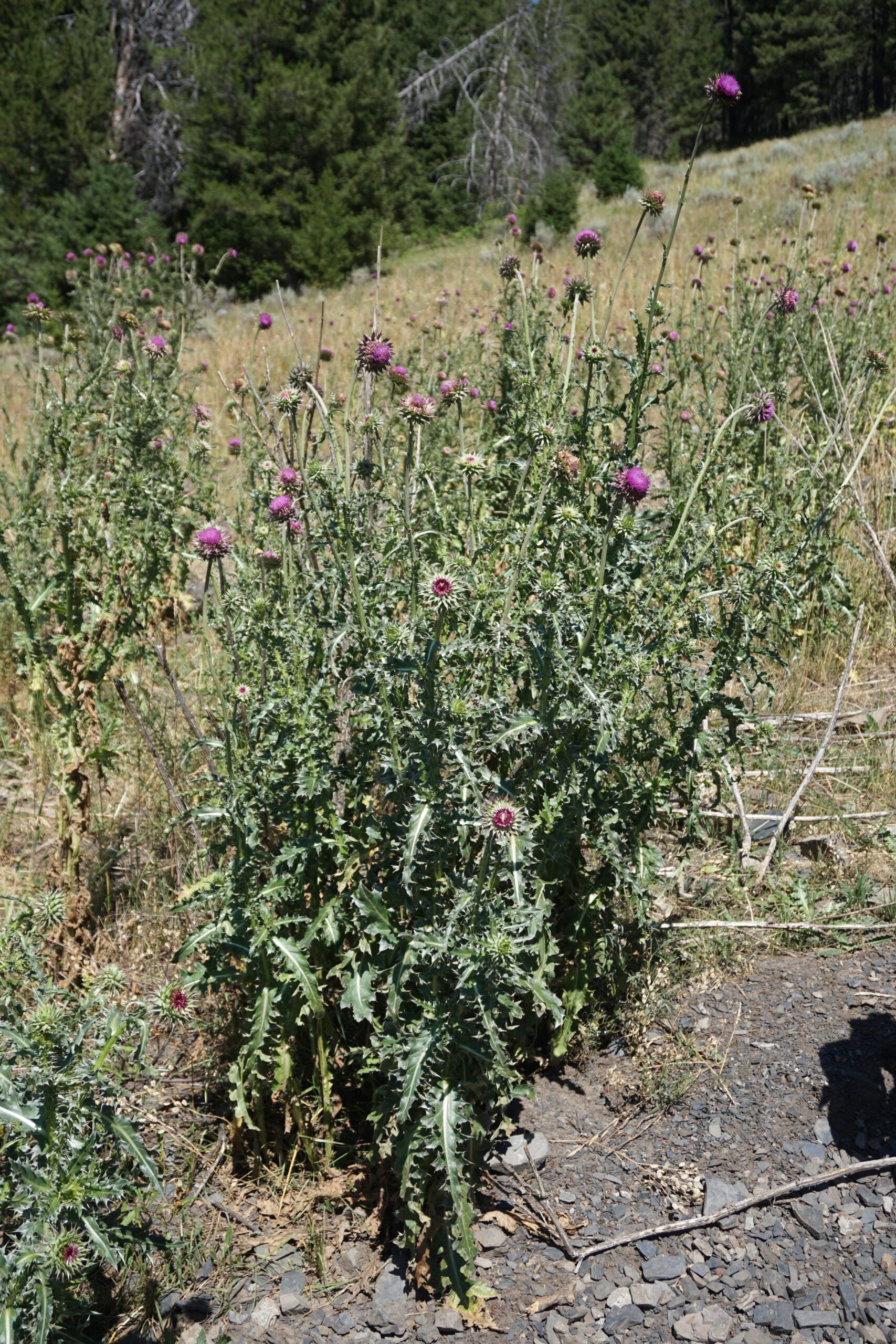
After about 4km on a gravel frontage road next to the highway we turned off and went back to the mountains. Looking at the elevation profile things did not seem too bad, except for the last section of the climb. We also read on the map that it would be hike-a-bike. And as predicted we had a nice climb, with sometimes steep sections and rocky roads, but managed to get there without too many issues. We agreed with other bikers to have a lunch break on one of the campgrounds half way the climb. Also, surprisingly, my body was still enjoying all the riding and climbing. However, after the lunch break we continued the climb (another 10km) and from that moment onwards it got hot in the sun. Eventually we arrived at the last section of the climb, and yes, that was certainly a hike-a-bike. I am wondering if I even could get up without the bags. On top of the pass we had to follow a dirt road until we arrived at the so-called Fleecer Ridge. This is an infamous section of the Great Divide Mountain Bike Ride. Only a few manage to ride it downhill. We did do the downhill partially, but then decided to walk as well. The chance for an accident was just too large. The steepness of this hill is unbelievable, even pictures will not do it justice. Walking with the bike down was a challenge on itself. The back of the bike continuously wanted to slide down and make you fall if you did not watch out. Although quite a challenge, it was an adventure and we made it without any issue. I even walked a bit back without a bike and could not imagine there are people who do the route in reverse order and have to carry bags and bike (often separately all the way up). I’ve read that this takes several hours.
Wise River
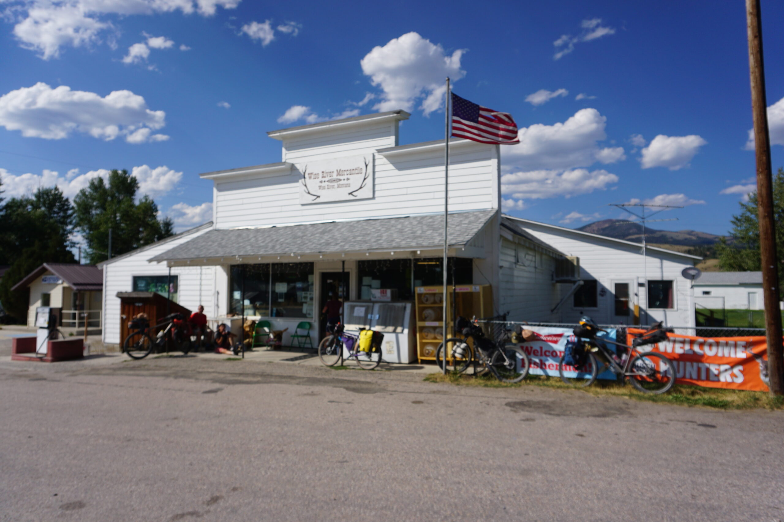
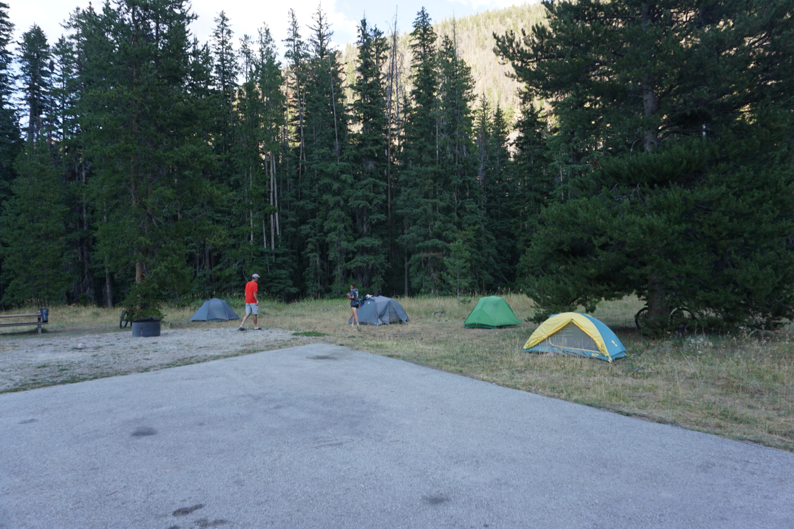
After a further downhill and some kilometers on the road we arrived in Wise River. There was not much. A couple of houses and a small, and very old, mercantile. We desperately wanted and ice-cream and something to snack/drink. So I bough an ice-cream, Frappachino, and a big blue-berry muffin. It tasted well. I also bought some additional food for the days to come, since we’re unsure what options we will have. Some other visitors of the store asked about our tour. Most of the locals know (a part of the route) and are always interested. There was even a very nice lady who wanted to buy some food for us. Since we already did that we thanked her for her generous offer. Together with the others we decided to ride 19km further to the 4th of July campground to spend the night together. We arrived in different batches, and with the 5 of us we ate together (I ate my Vietnamese noodle soup that I was carrying for four days now) had some fun, and then we all went to our tents to get some sleep (after hanging our food).
Gallery