Today we rode from the A&M Reservoir in the Great Basin, Wyoming, US to the Teton Reservoir Campground 16km south of Rawlins, Wyoming, US. Sunny weather with clouds, rain + hail shower in the afternoon. Road conditions were easy today and included a good gravel road but mostly paved roads. Highlights of the day include sunrise at the A&M Reservoir, sunset at the Teton Reservoir, and laundry ;).
Riding statistics: on Tuesday August 23, 2022, the 23rd day on the Great Divide Mountain Bike Route route, it took 10:38h (06:12h moving time), between 07:28 and 18:07, to cover 117 km (73 miles), including 696 m (2284 ft) elevation gain, with an average speed of 19 km/h (12 mph). During today's ride the average temperature was 29 °C (88 °F) with a minimum of 15 °C (60 °F) and a maximum of 58 °C (146 °F).
Totals: So far, it took 6 days, 19 hours, 24 minutes and 3 seconds of cycling time to cover 2418 km (1503 miles), including 27148 m (89073 ft) elevation gain, with an average speed of 15.1 km/h (9.4 mph).
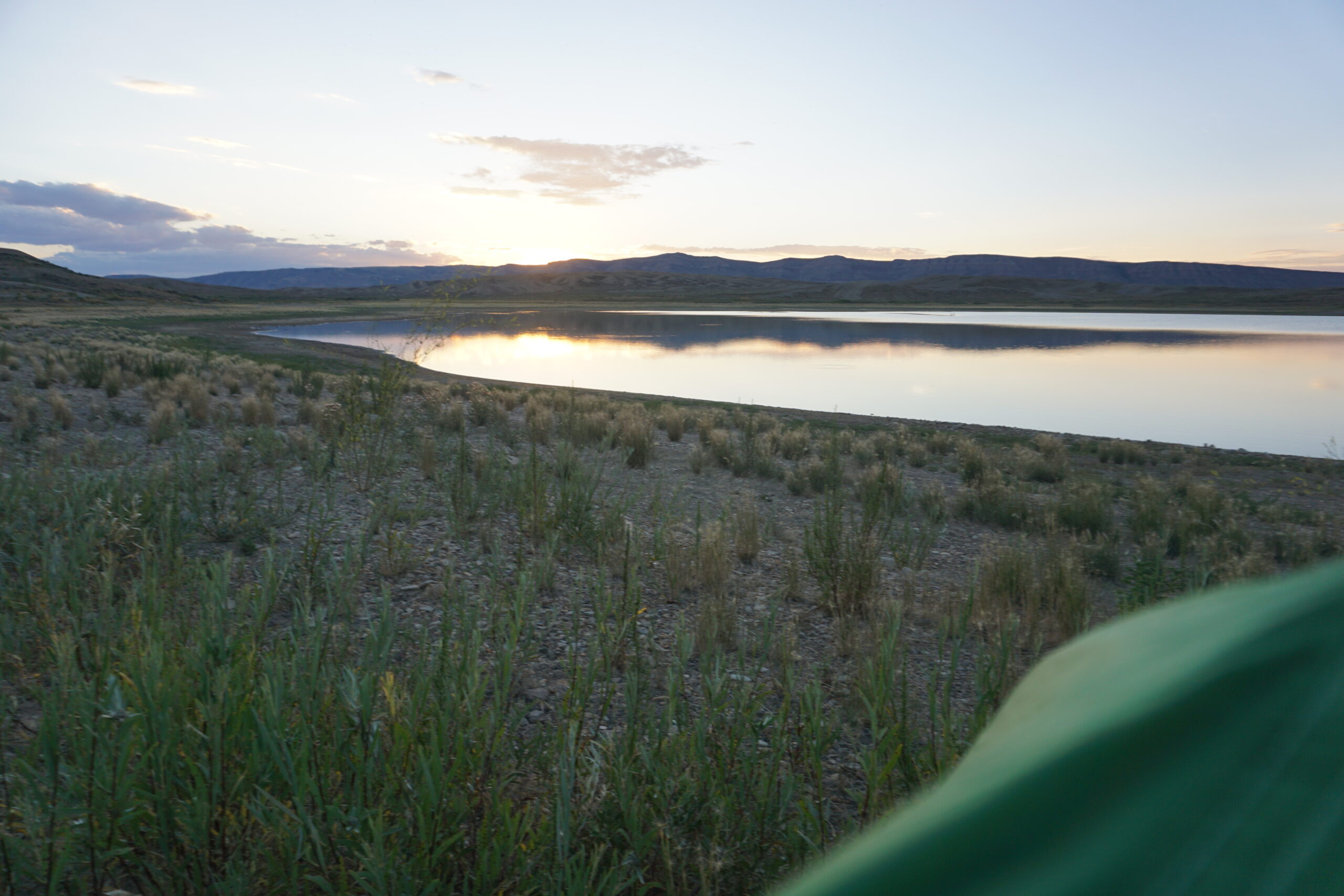
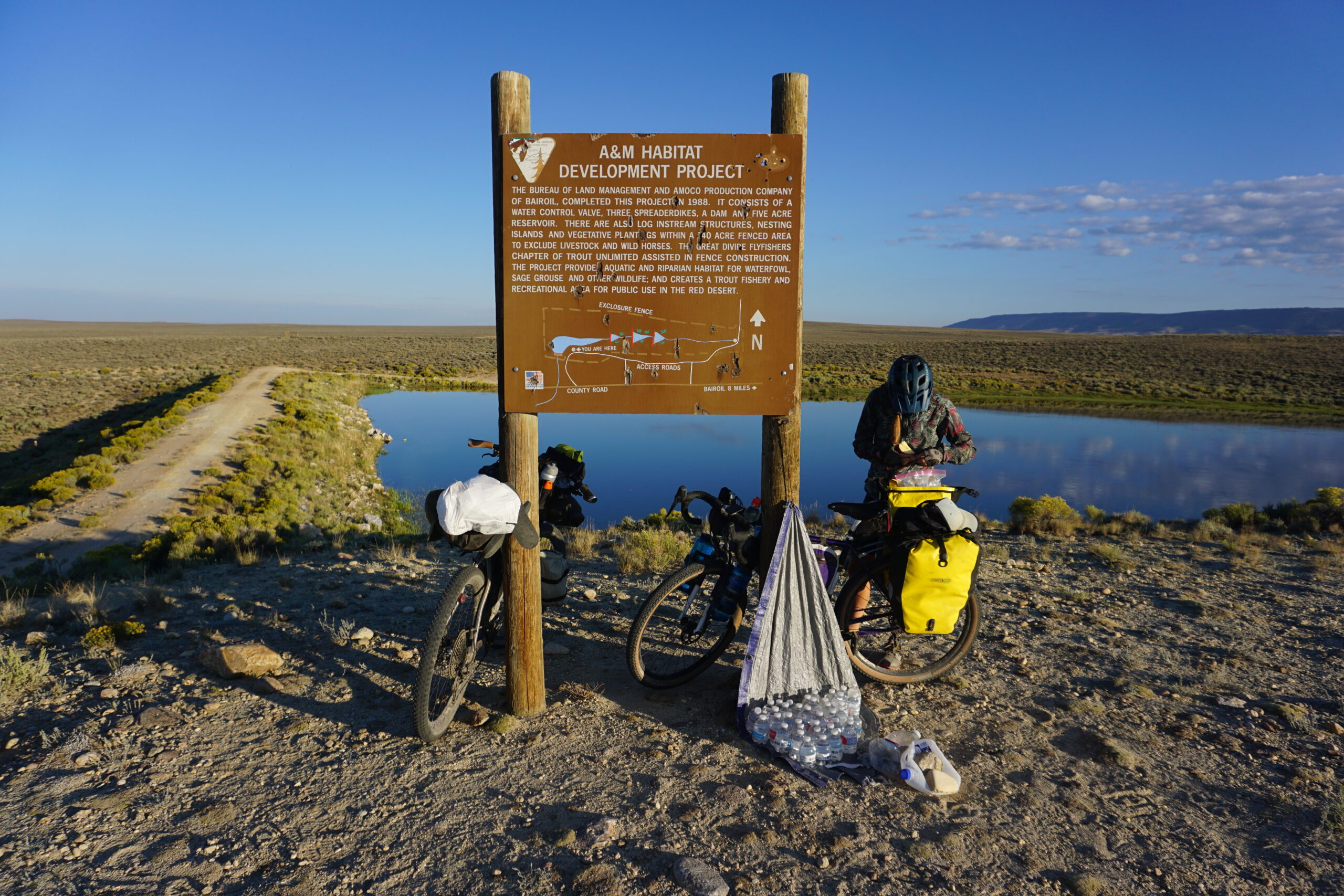
Leaving the A&M Reservoir
This day began early. At 0:30 to be exactly. All of a sudden there was such an amount of wind that I was not sure how the tent would hold. I knew there good be a good wind at the reservoir, but now that I actually experienced it myself I can confirm. The rainfly of the tent was actually blown into the tent, making my tent a little smaller. The tent made noise and bounced in the wind, but all seemed to be holding OK. I had wild fantasies that my rainfly would tear and fly away, leaving my in the inner tent only. However, all seem to hold perfectly, and after maybe half an hour I had confidence in the tent withstanding the wind and fell asleep again. We had not set our alarms for the next morning and would see when we got up after the long day of yesterday. I have been shortly awake a few times more that night, but at 6:20 I suddenly was awake and heard Anna already outside. No worries, time enough, and Anna was also still packing up her gear. Eventually our neighbors Melvin, Jack, and Max also were awake and got out of their tent. We got some more water from the trail angel, and left the campground.
Towards Rawlins
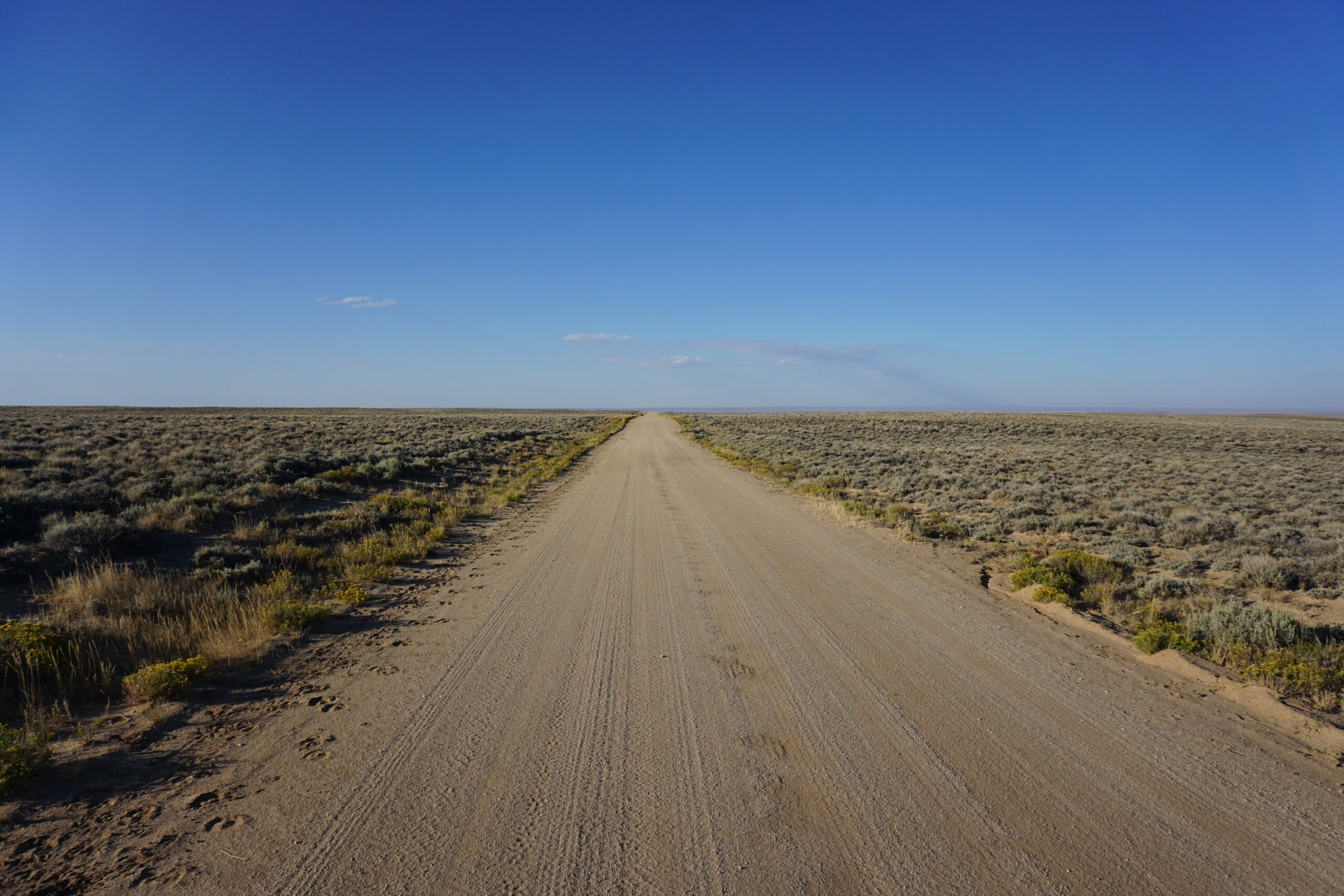
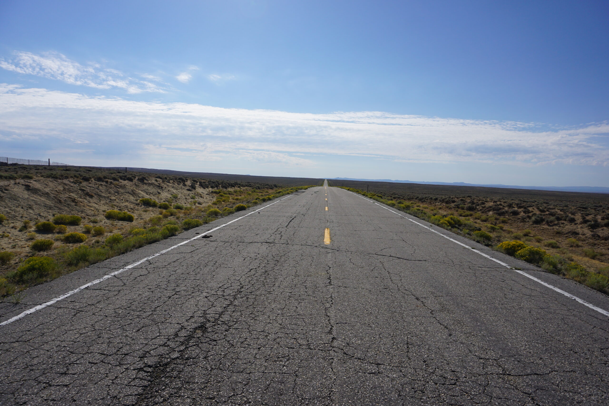
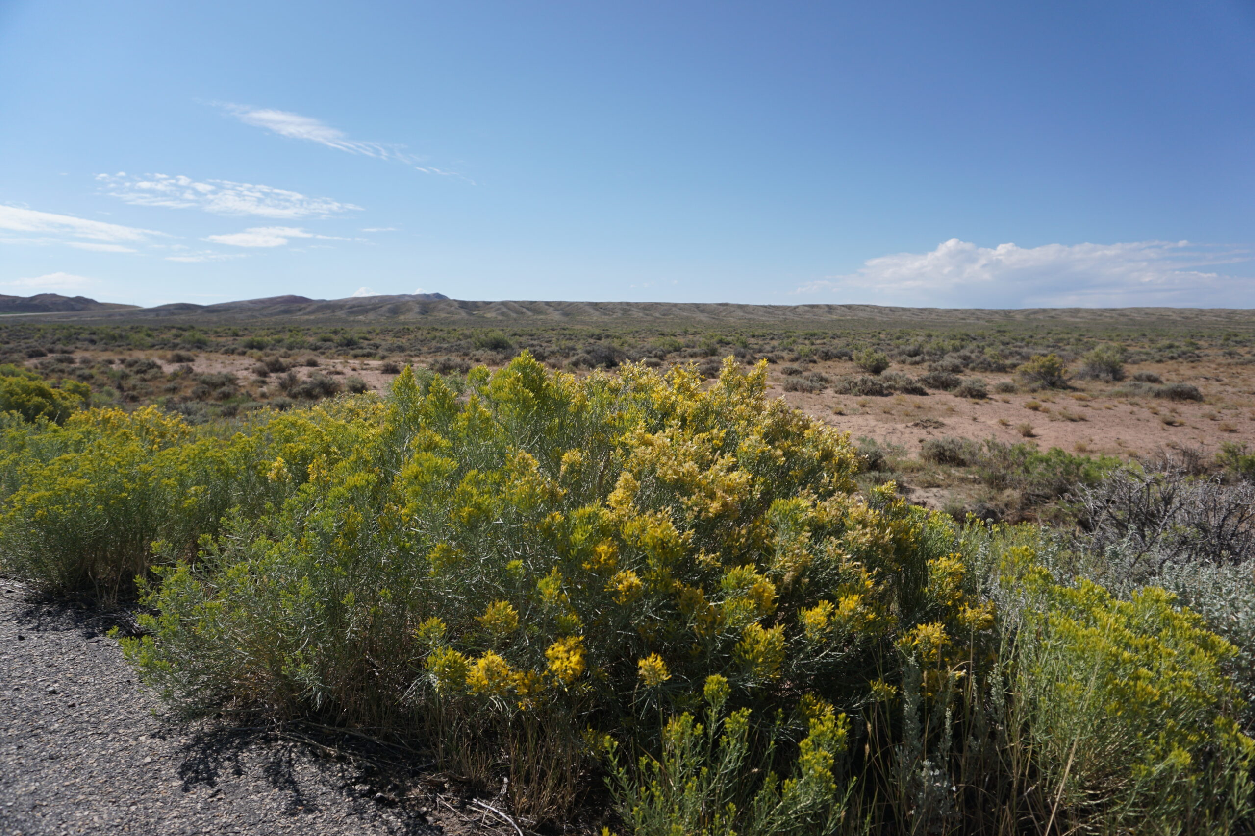
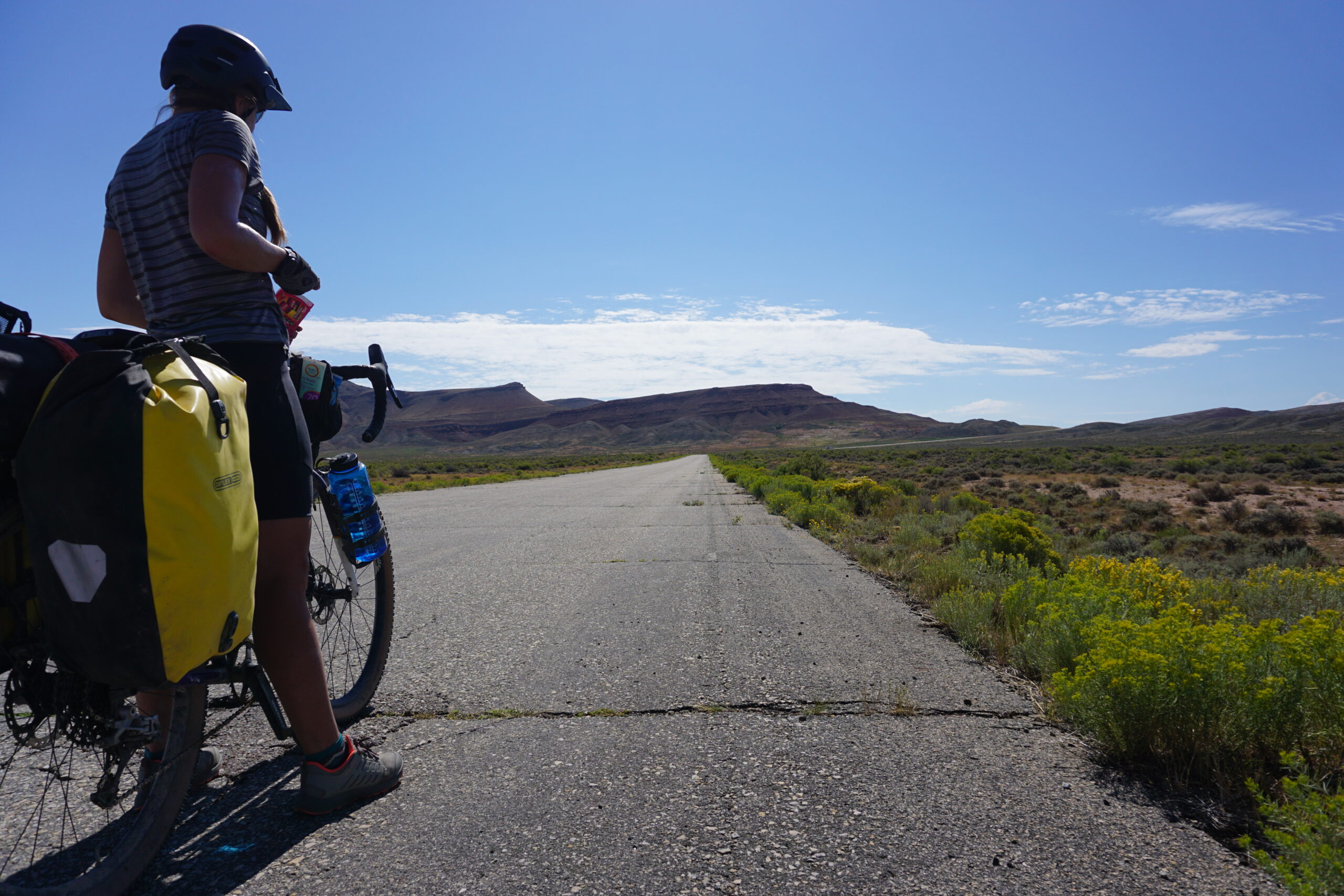
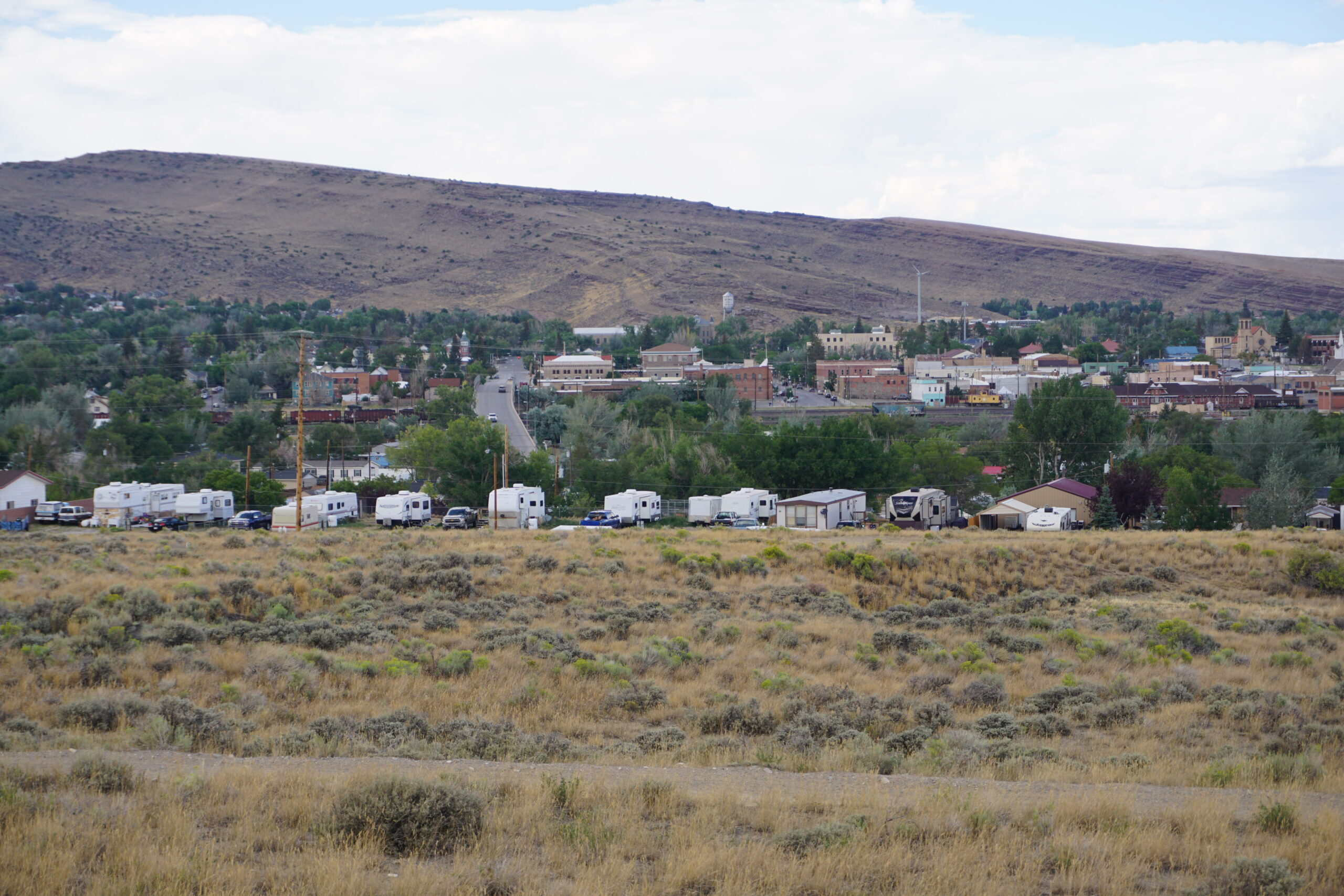
We had to go back 1km to the route which we left for going to the A&M Reservoir. From there we continued our route towards Rawlins. It was a nice gravel road, and it was a long way slightly downhill and a smooth tailwind. That meant we had done over 20km in no time and reached a paved road. Along the gravel road we have seen cows, horses, squirrels, antelopes, and birds. Once we were on the paved road we saw no wildlife anymore. However after a couple of kilometers we started to see cows again. Although we were on a paved road, it was of a very poor quality. But for us it was smoother than on gravel, so again we made good progress. The landscape was still hilly, sagebrush, and some flowers next to the road (mainly yellow and some purple ones). We had to follow the paved road for about 45km. We hardly had any traffic, a few pickups towards us, none from behind, although we saw more and more ‘houses’. Eventually we saw a junction (from 8km distance, because the junction and the road after it was uphill. It took a while before we were at junction, from there we had a 4km uphill section in which we had to climb 150m in elevation. This was a more busy road, fortunately a wide (2m+) shoulder and during the uphill the traffic going up had two lanes, so most used the most left lane when passing us. We had to follow this more busy road for 8km when we arrived at Rawlins exactly at noon. We had made it through the Great Basin in one and a half day.
Rawlins
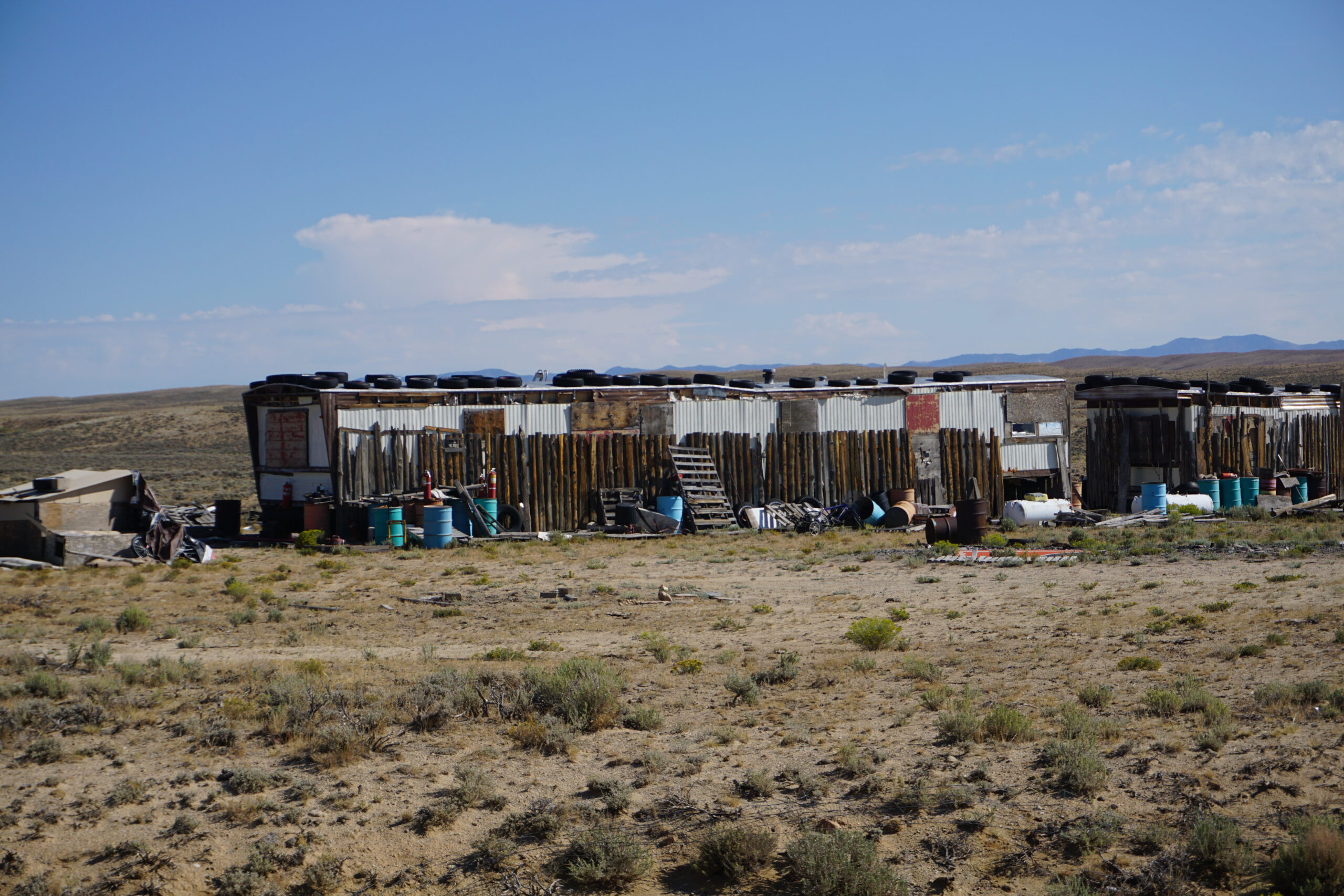
In Rawlins we wanted to go the the first gas station which we saw and see where to go next. However, once we were at that gas station, we saw it had a bar next to it. The bar it was. We had a meal and something to drink. We discussed what to do next. First laundry, then find somewhere to sleep. Or should we continue for some more miles so that the day after would be a little easier as well? We did visit the gas station for an appetizer, ice-cream. Now, first things first, laundry. We found one on Google maps which was closest to the route and had a gas station close by to get some last minutes groceries. We went through a poor neighborhood but finally arrived at (a poor looking) laundry. Unfortunately you needed a card to operate / pay the machines. Fortunately there was a woman doing her own laundry that pointed us to card that was provided by a trail angel and could be used by people as us. We only needed to add some cash to it and we could wash & dry. Of course you wanted to wash as much as possible so somewhere hidden I changed to only my long john and long sleeve. When the wash was busy we went to a bar next to it to have some drinks. In between we switched from washer to dryer and went back to the bar (still in my long john and long sleeve only, nobody cared). After laundry we decided to cycle some more, to the next campground, but first we visited the next gas station for water (2 gallon, which is about 8 liter) and a cooled Frappachino, which is really nice if your are thirsty, better than soda.
Teton Reservoir Campground
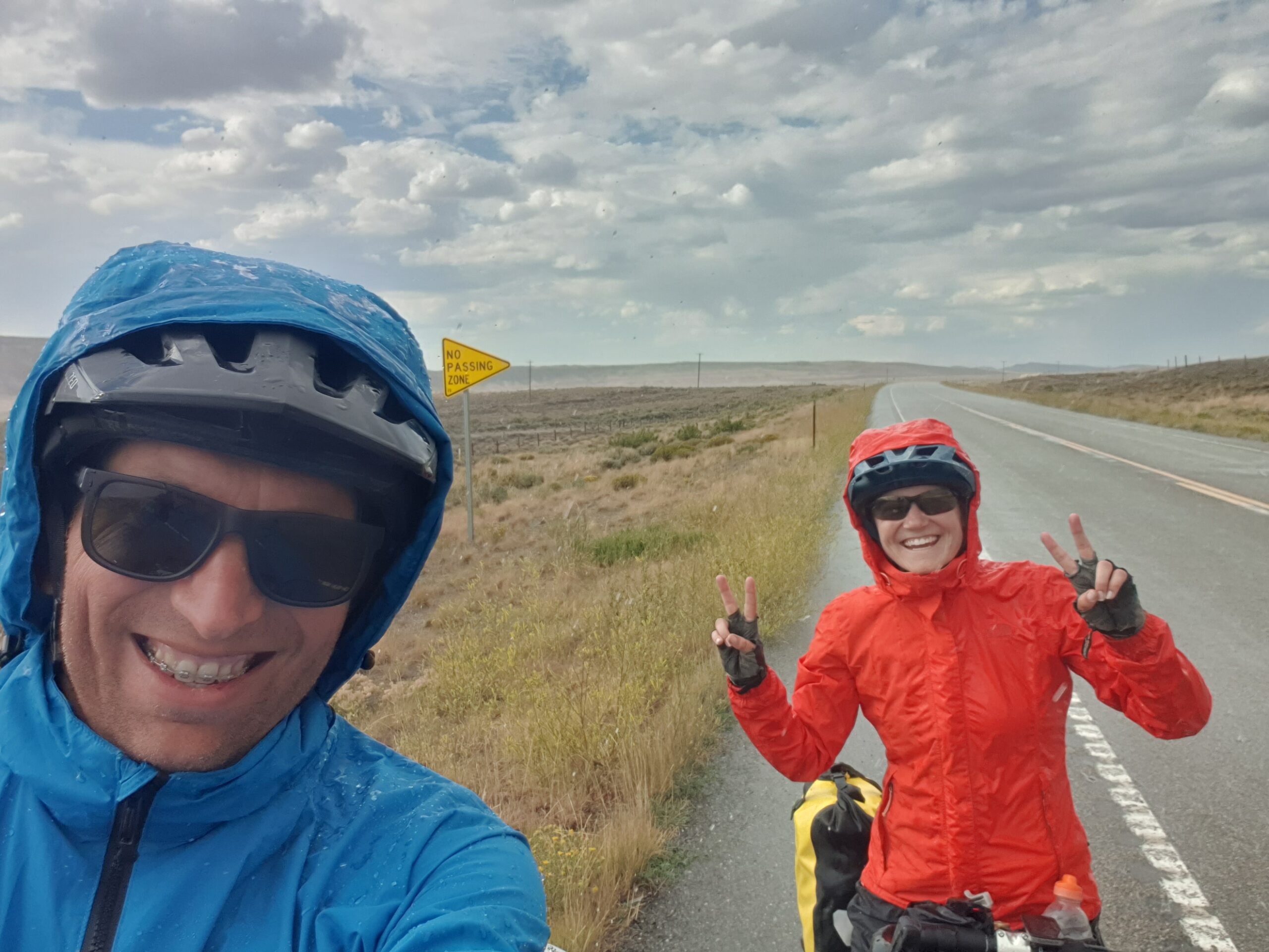
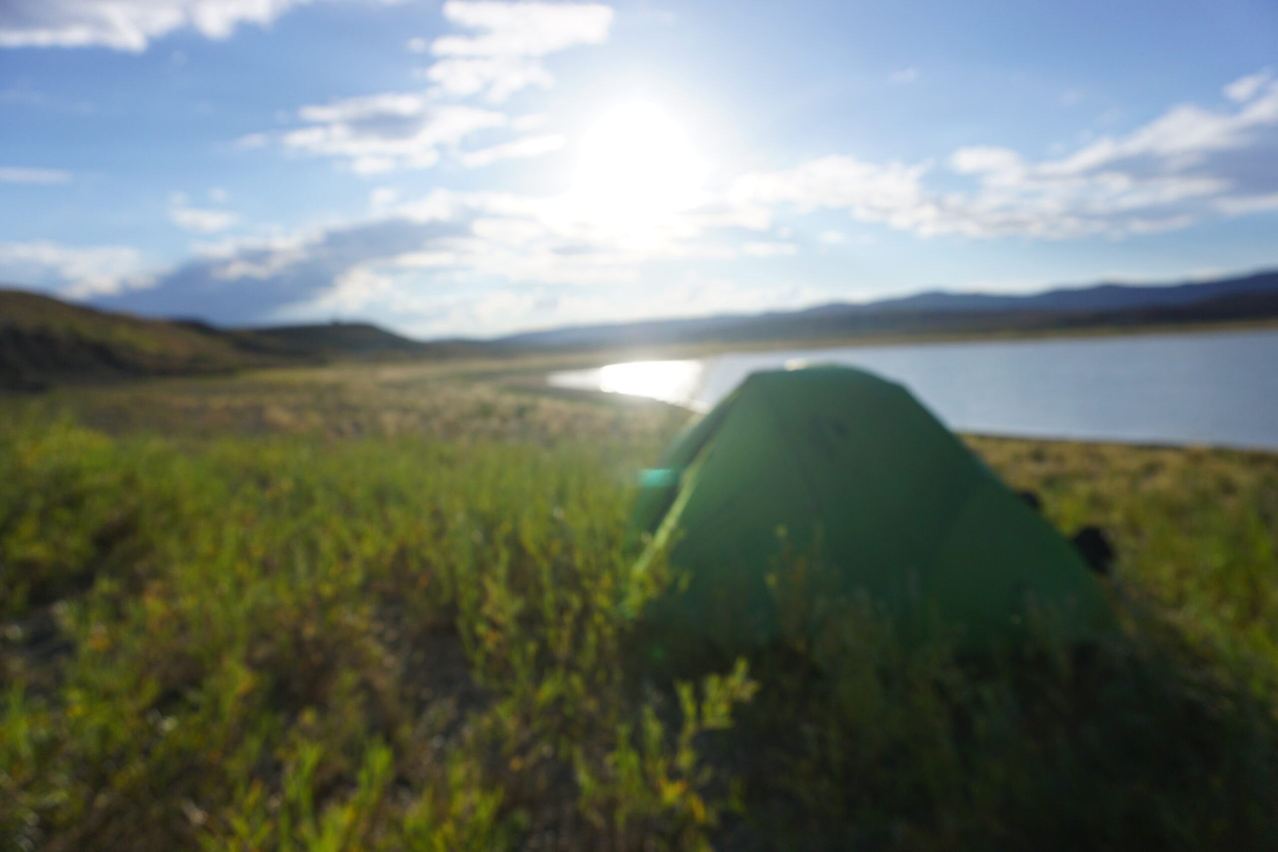
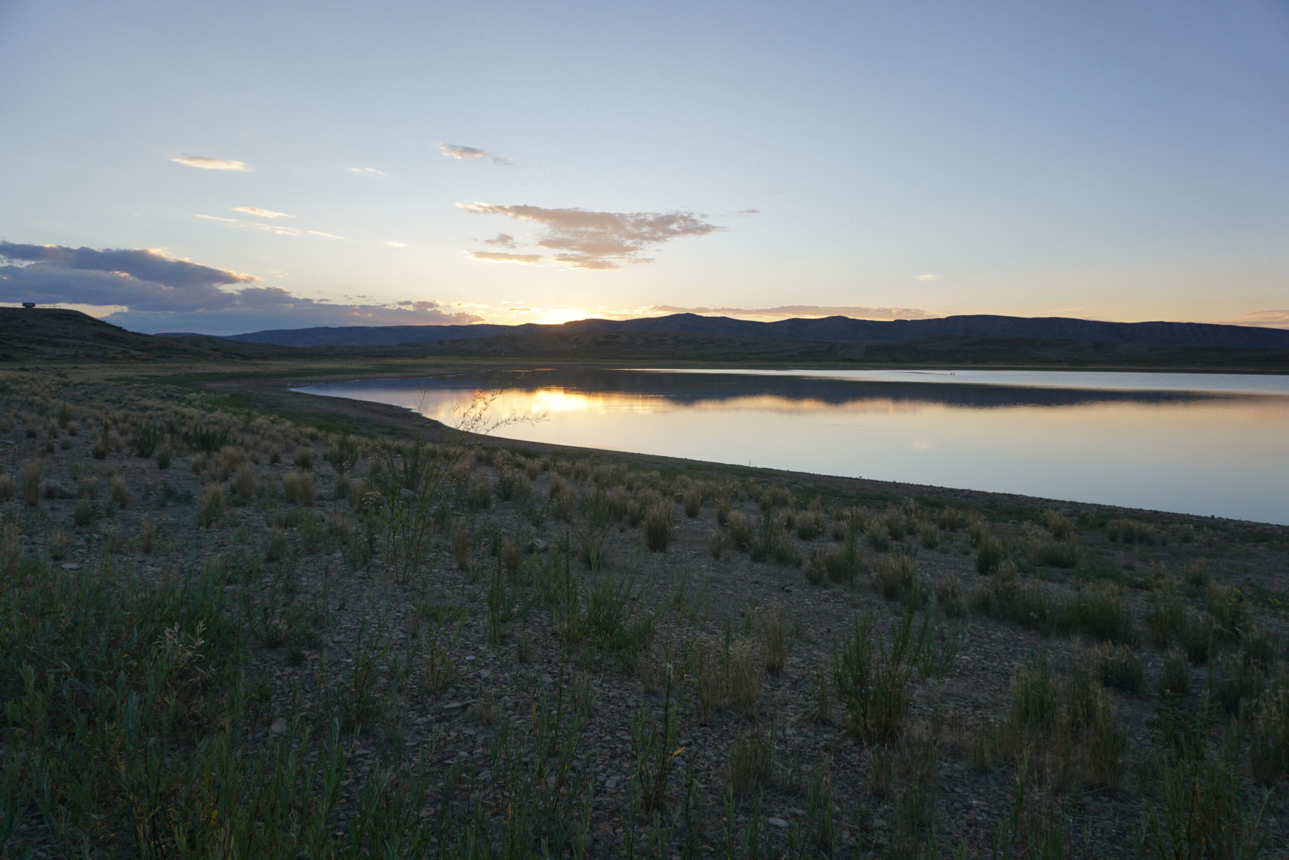
When we cycled out of Rawlins we could see some of the old downtown from a distance. It looked like it has a nice downtown with old buildings and history. The areas around it however looked poor and sober. Outside Rawlins we had another climb. Not that difficult, however half way it started to rain so we got our rain gear and continued. It did not take long before it was pouring. Glad the rain gear is OK, and the temperature was also OK. If it would have been cold then it would have been miserable. Rain changed into hail, which eventually was quite large in size. Some did hurt, but it was also funny, we were still laughing. The rain stopped again, the wind got us dried up for the most part, and not long after that we arrived at the Teton Reservoir Campground. A recreation area around a water reservoir. Picture yourself a gravel road going up a hill, around a small lake of water. On three parts it was level and there where pit toilets and picnic tables. However, no trees or bushed. All gravel, sagebrush, and small patches of grass. In the last bar we were already informed that the water level was really low, and indeed it was. In fact it was so low that we pitched our tents on the area where in winter / spring there usually was water. This way we hoped to be out of the wind because we read that it could get very windy over here as well. We were glad we bought the two gallons of water, because the water in the reservoir did not look very well. Even filtering would not give us confidence in tasty water. We had some dinner together (I had a noodle soup), and we went to our tents for a good night of rest.
Gallery
Geweldig verhaal ook weer. Mis alleen een foto van jou in je long-johns en longsleeve, haha.
En wat lief van die ‘trail angels’.