Today we rode from Tomichi Creek Trading Post (Sargents), Colorado, US to informal campground 8km before the to of Canero Pass, Colorado, US. Sunny weather with some clouds. Road conditions included paved roads and lots of gravel roads. Highlights of the day include climbing Cochetopa Pass and the ride up to our informal campground.
Riding statistics: on Wednesday August 31, 2022, the 31st day on the Great Divide Mountain Bike Route route, it took 09:02h (07:04h moving time), between 07:52 and 16:55, to cover 112 km (70 miles), including 1260 m (4134 ft) elevation gain, with an average speed of 16 km/h (10 mph). During today's ride the average temperature was 27 °C (84 °F) with a minimum of 11 °C (52 °F) and a maximum of 38 °C (106 °F).
Totals: So far, it took 9 days, 1 hours, 31 minutes and 30 seconds of cycling time to cover 3201 km (1989 miles), including 37511 m (123074 ft) elevation gain, with an average speed of 14.9 km/h (9.3 mph).
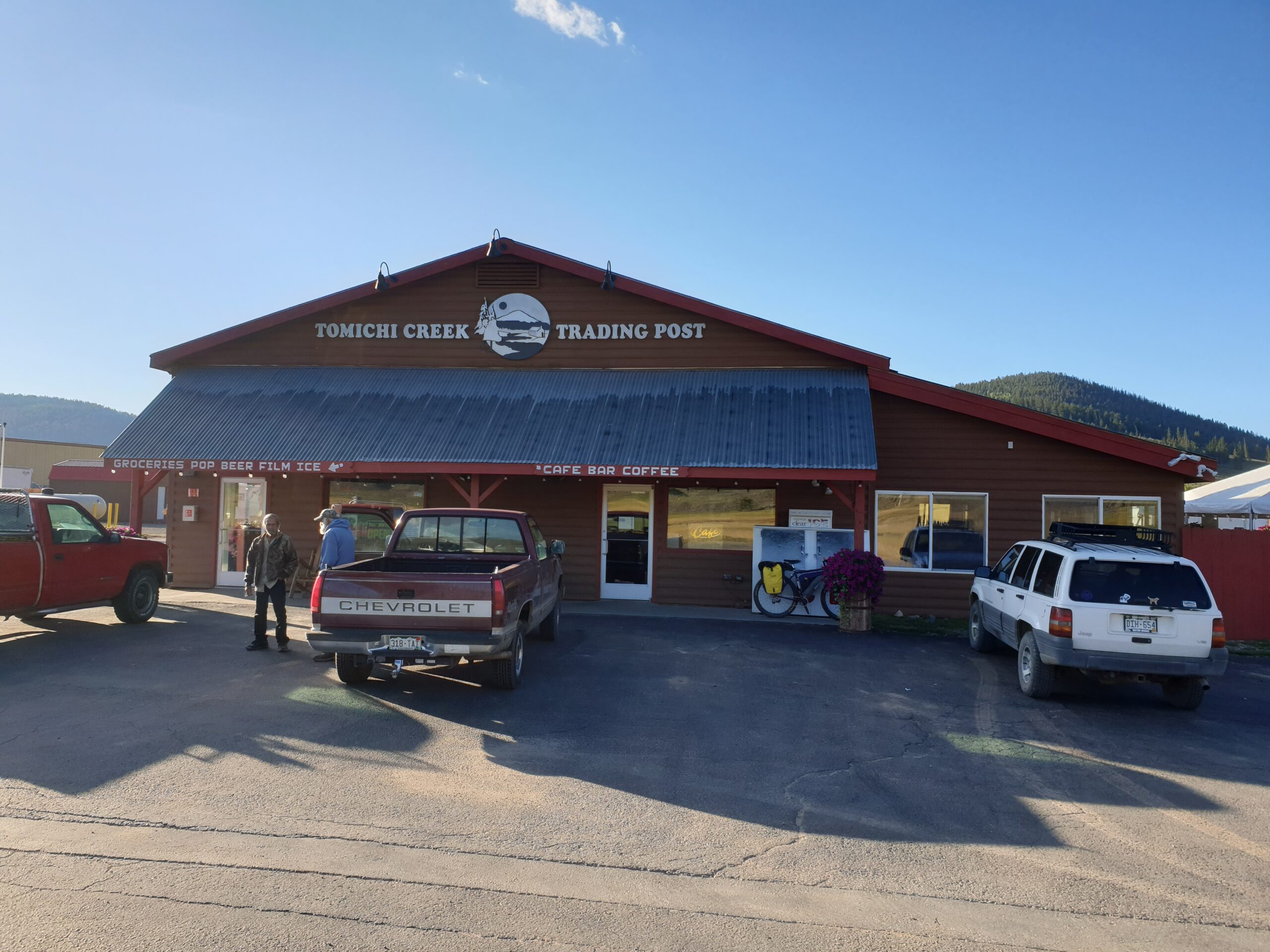
Leaving Sargents
I have set my alarm clock at 6am. Anna would get up as soon as she heard my sleeping bad being deflated (it makes a specific noise when I pull the plug). I was awake before 6am so I turned of my alarm already (I do that more often). I started to get dressed, put my sleeping bag in my handlebar bag, and deflated my sleeping pad, rolled it up, and put it in my handlebar bag as well. Not much later I got out of my tent. Anna all of a sudden realized it was me, she thought it was the sleeping pad of Eric who joined us on the campground. No worries, we are in no rush. So after getting our gear on the bikes (the outer tents where completely wet from damp) we went to the little shop at the RV / gas station, where we also took a shower, and cleaned up in their bathrooms. We also bought some snacks for breakfast, and a gallon of water, which should be enough for today (combined with the water we still had from yesterday). After breakfast we started our ride of today.
Cochetopa Pass
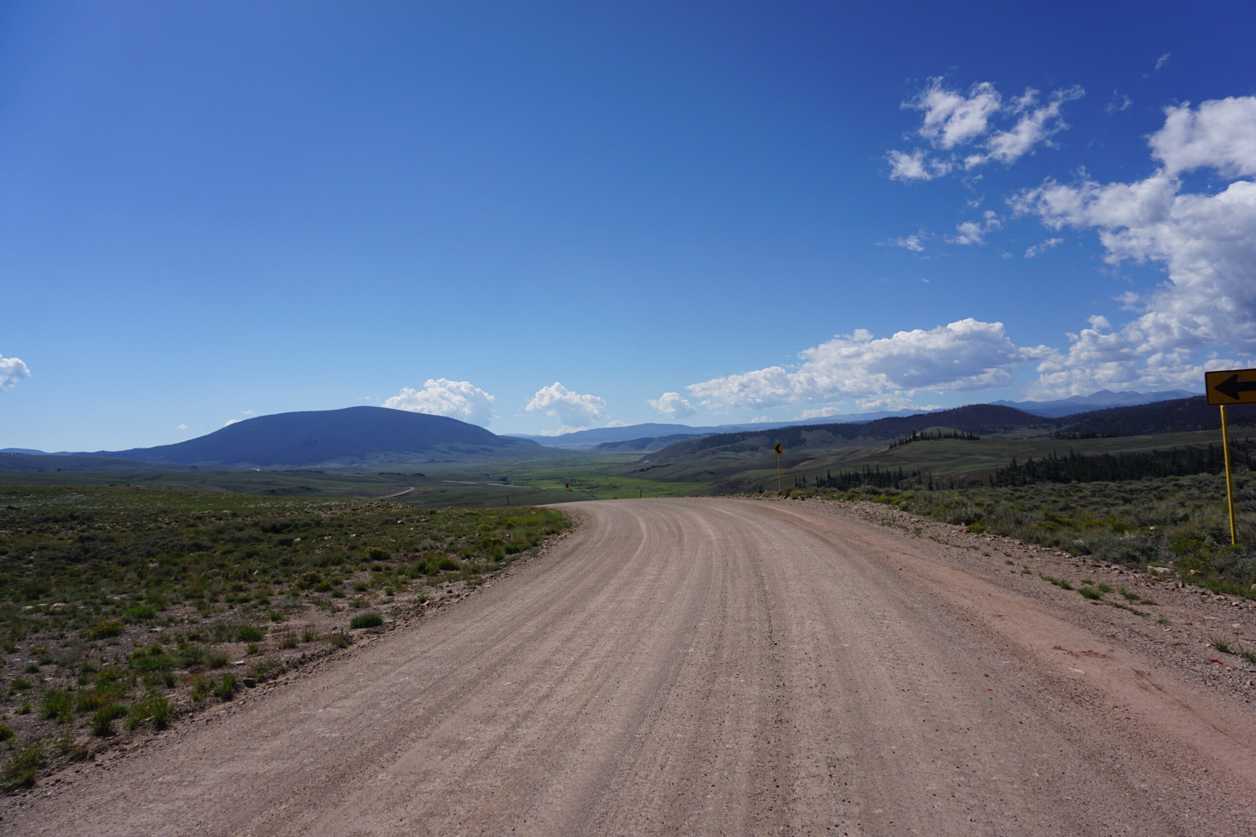
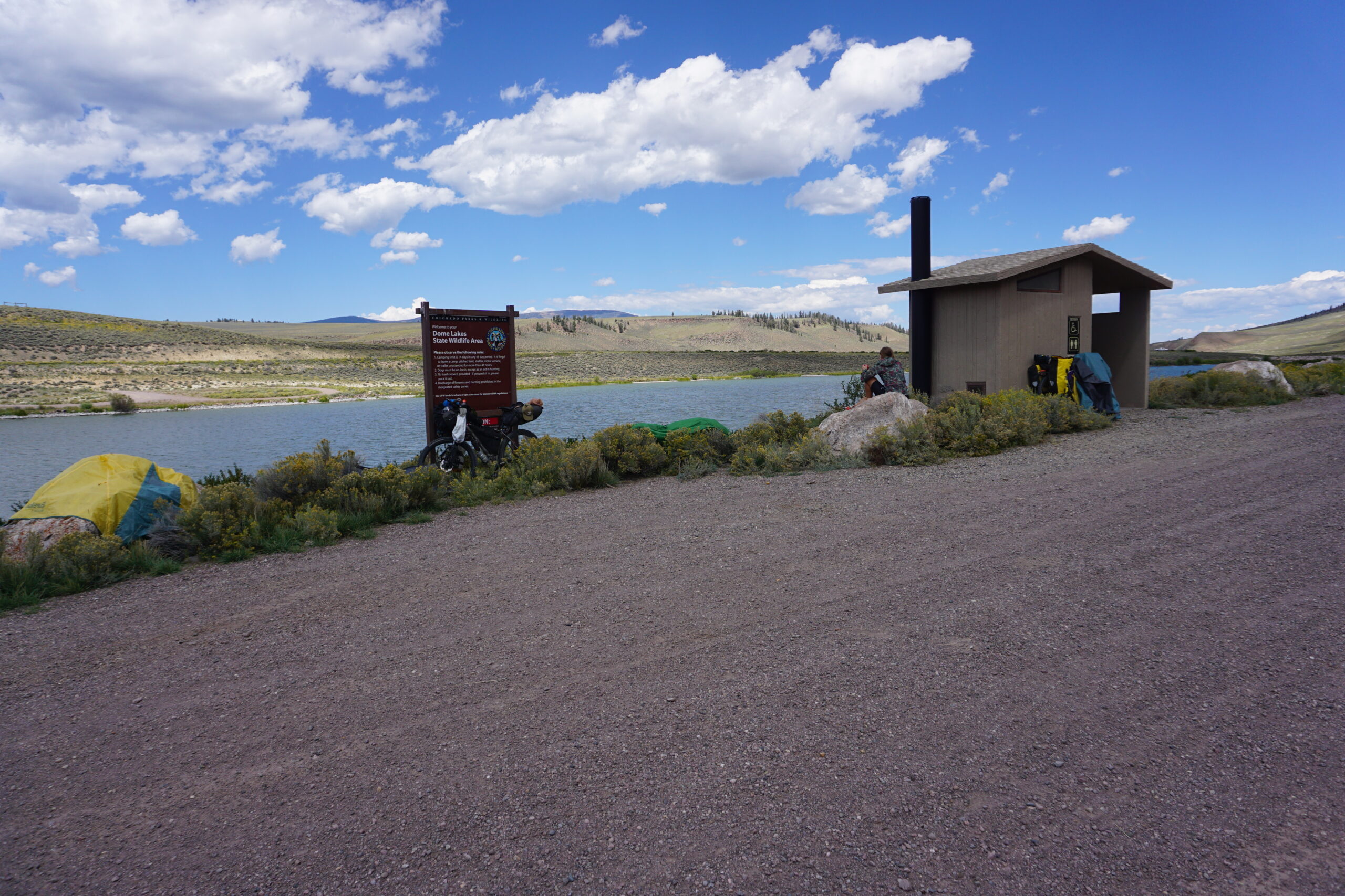
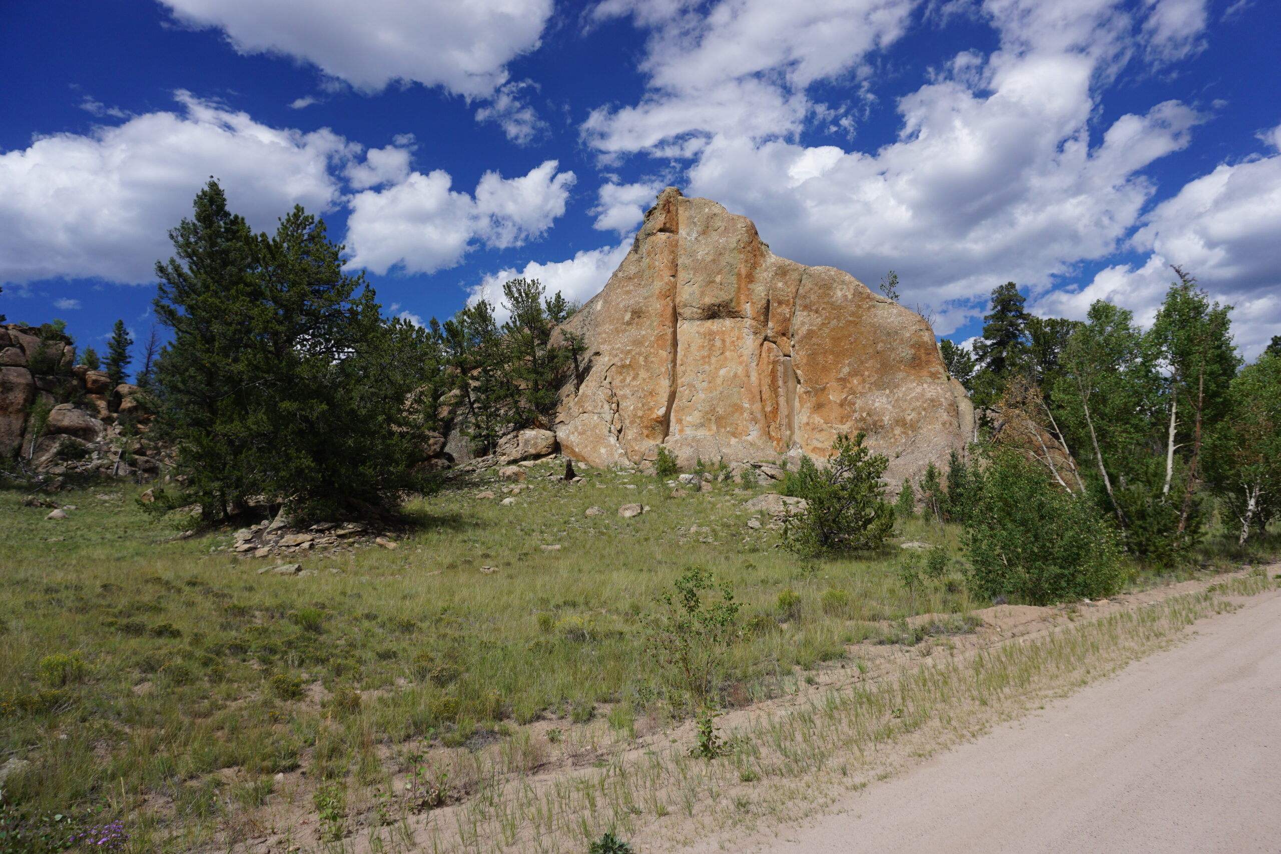
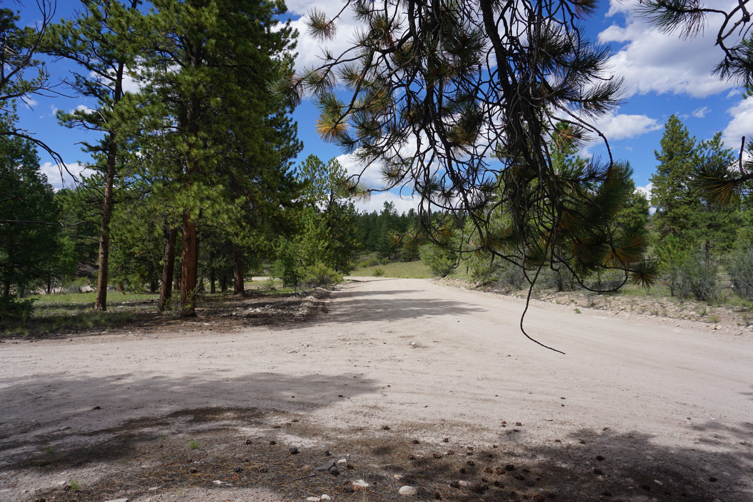
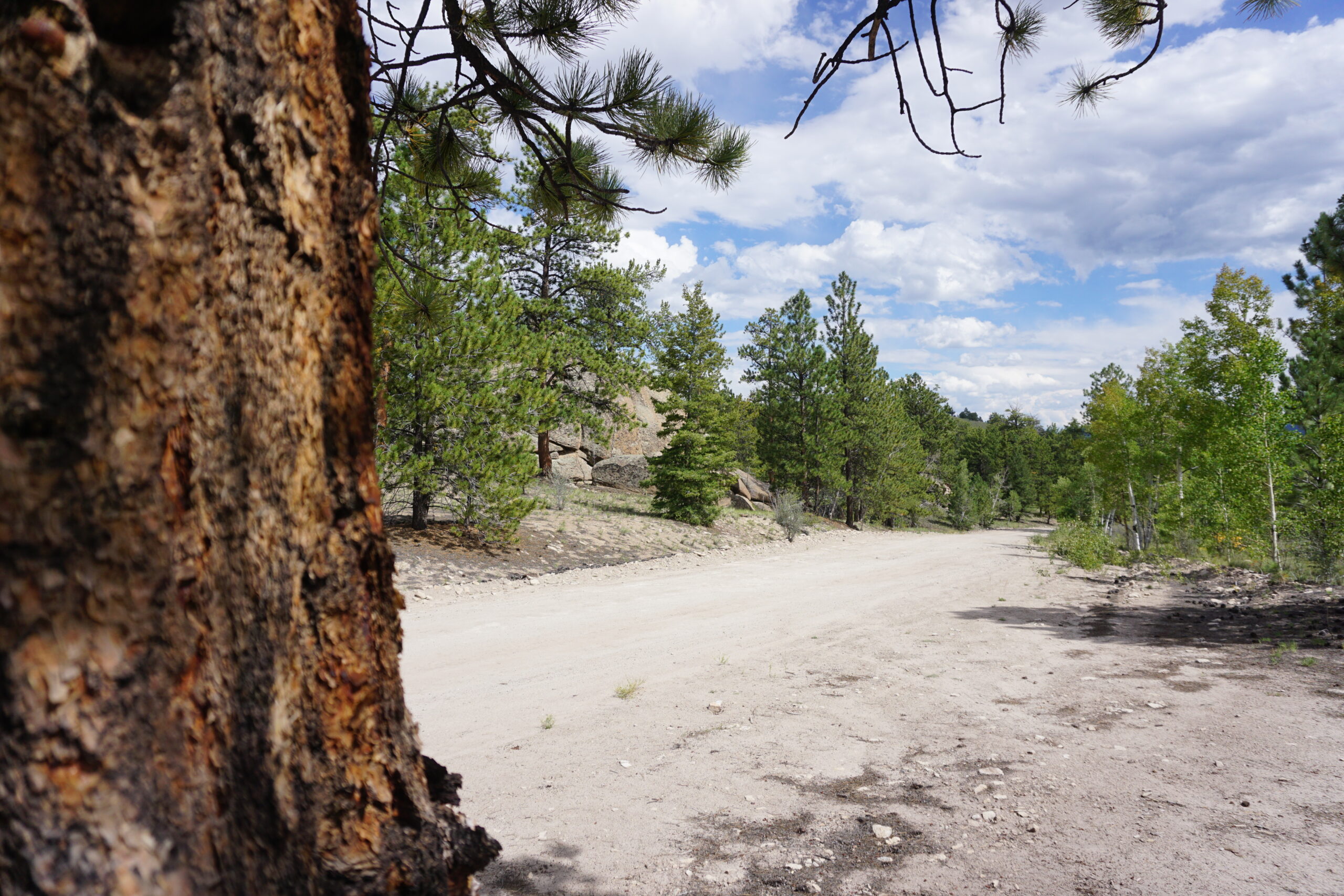
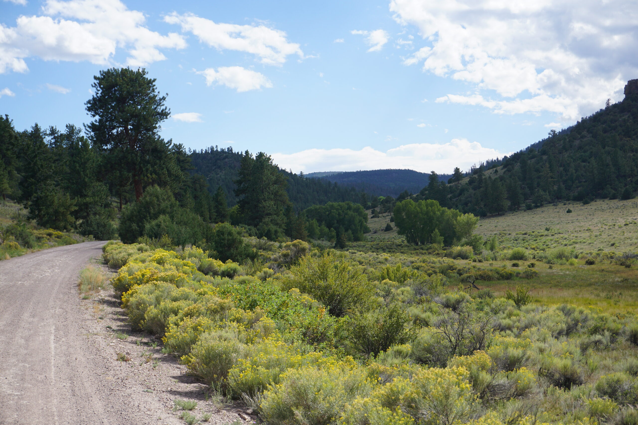
From Sargents we had a 20km paved road, with little traffic and a wide shoulder. We made miles easily. Within the hour we had covered the 20km and took a turnoff onto a gravel road. It was a nice wide gravel road, some rougher sections and washboarding, but all-in-all not bad. Quite soon our first climb of the day started. Almost 6km in distance, and about 200+ meters in elevation. Not too bad, not too steep, we could enjoy it in the beautiful weather. The landscape was a mixture of what we have seen in Wyoming (soft hills with sagebrush), combined with the beautiful hard rocks and pine/aspen forests from Colorado. The climb took not too long, and we had up/downhills all the time, but not very difficult, or hard work. Around 1pm we reached the first informal campground. It was located at a water reservoir and had some pit toilets. We stopped for the toilet and decided to have a lunch break as well. Since the sun was shining and there was quite some wind, we decided to let our outer tents and footprints dry. After the lunch break we continued our ride to Luthers Campground. This was a formal campground that we might use as our destination of today. Before getting to the campground we had another climb, towards Cochetopa Pass. This time it was a higher climb, and it took a fair bit of time since we took it easy because of the knee (still quite sensitive but it seems to get better every day). Once we were at the top we were in full forests again and enjoyed the scenery we were in. We saw a sign stating that the campground was 2 miles down the road. That was mostly downhill, and at 2pm we reached the entrance of the campground. We both agreed immediately that we wanted to make some more miles instead of stopping already. We decided to continue and had a great continuation of the downhill.
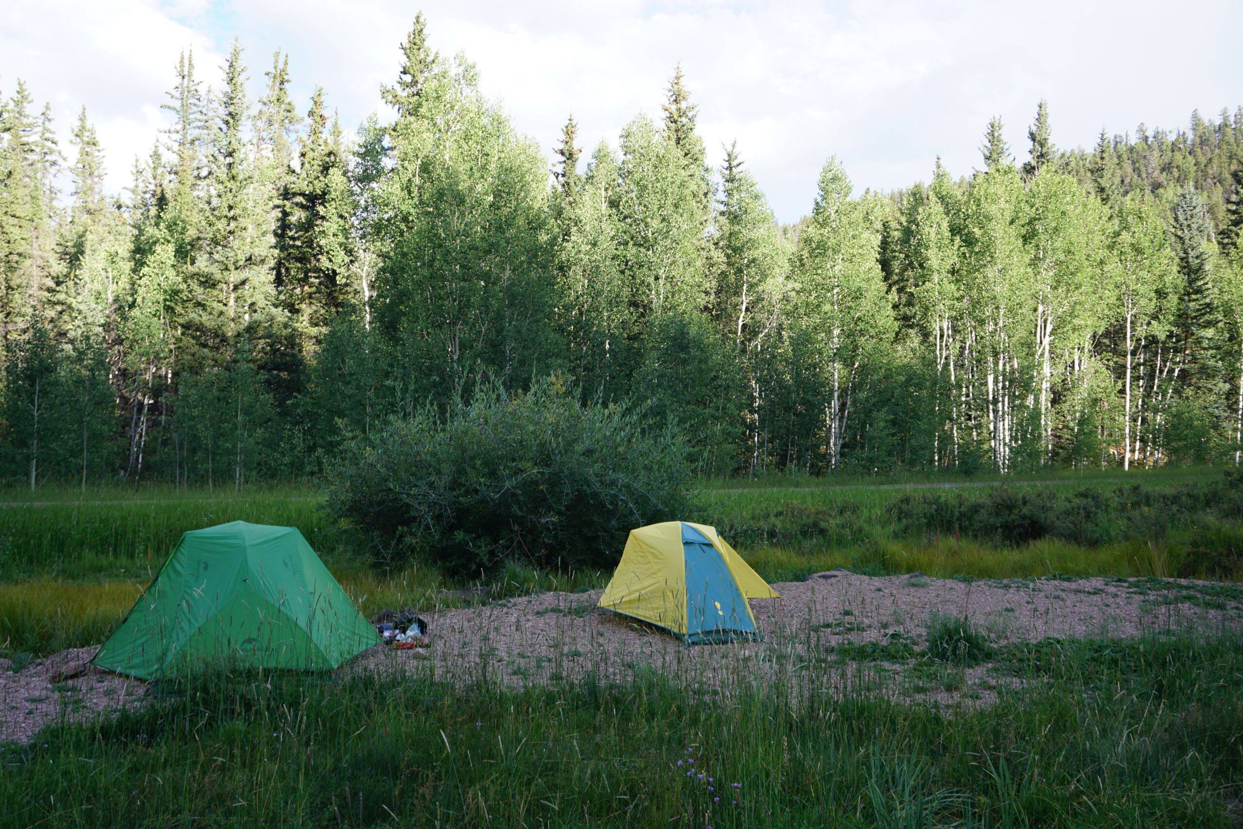
Informal campground 8km before the top of Canero Pass
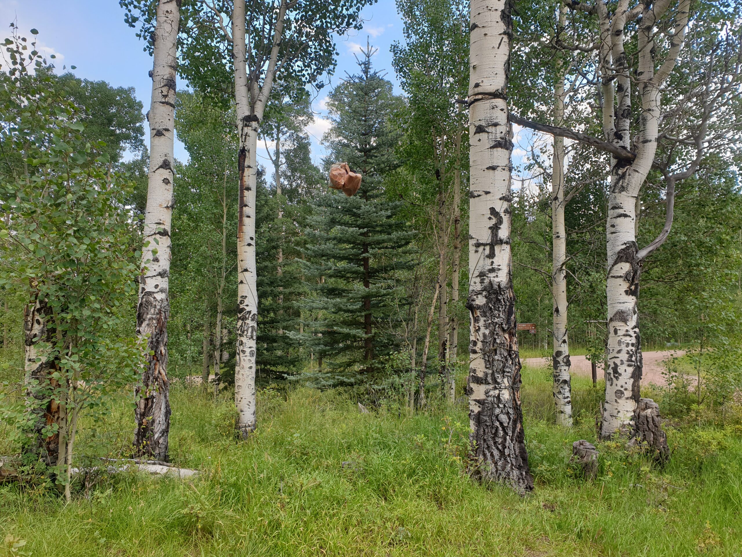
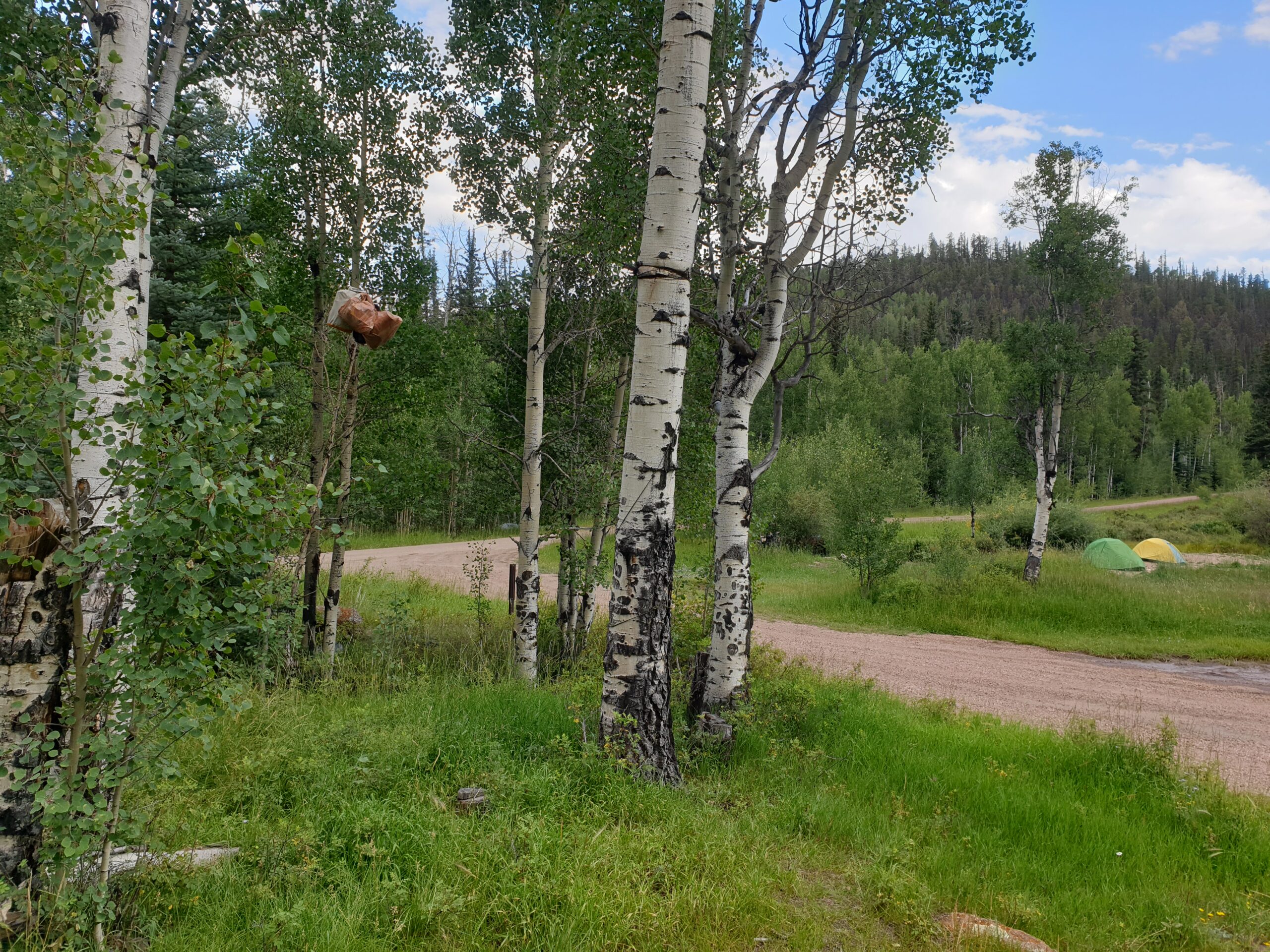
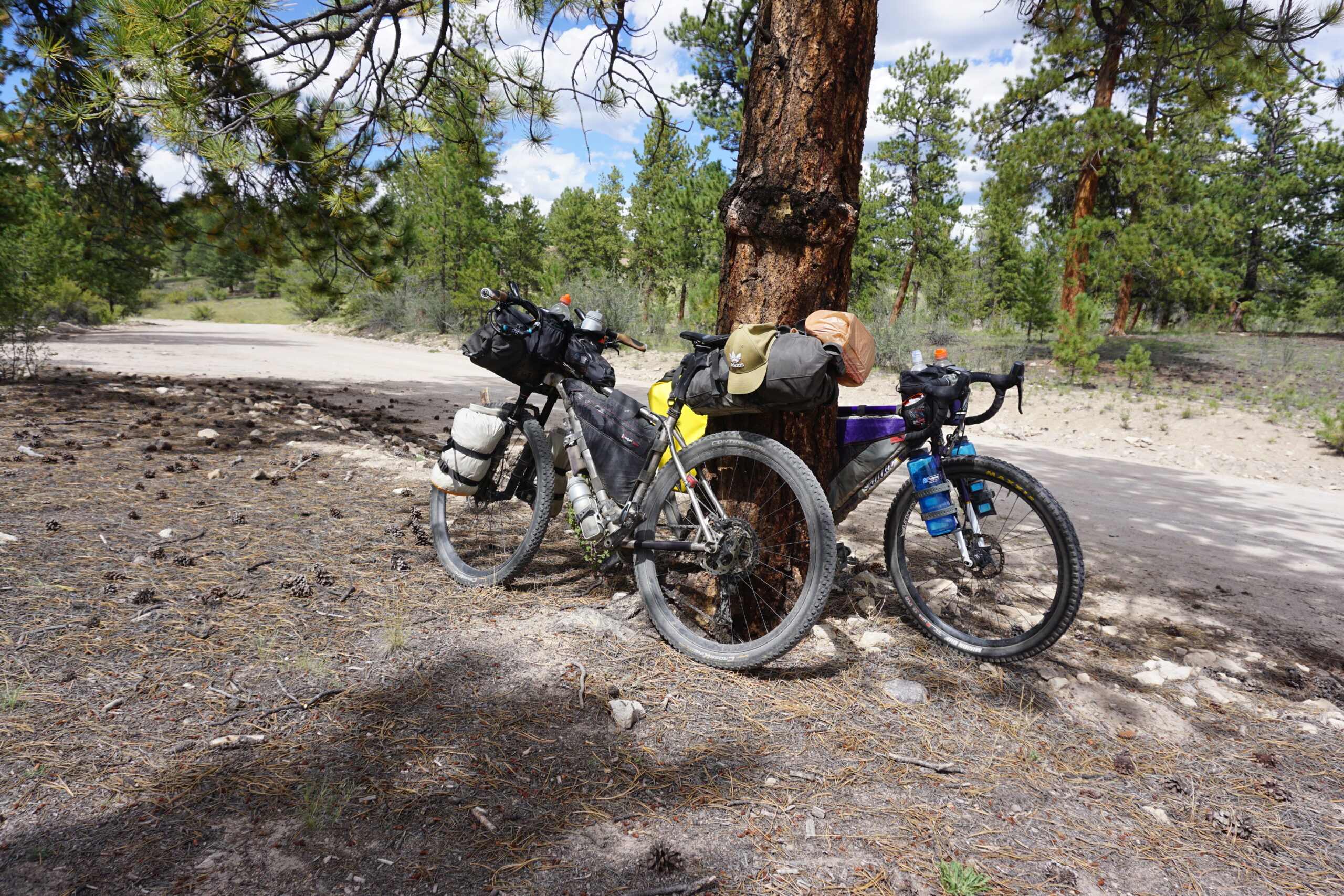
The long downhill of Cochetopa Pass brought us again on paved road. We had to follow that for 10km. Shoulder was small or non-existing, but the amount of traffic was also low. So that was OK. After 2.5km we got quite a headwind (while we were uphill) and that was a bit difficult with my knee we slowed down, so Anna took over the lead. After the 10km we got of the paved road and onto gravel. This was the start of the climb to Canero Pass with a total distance of 17km. 8km before the top of the pass we reached our informal campground. Meaning, there was nothing besides a good patch of grass / gravel where we could pitch our tent. During our uphill climb, a man passed us in his pickup truck, with his RV behind it. When we got to the campground he was also there. He explained that he was here for the start of the hunting season coming Friday (Sep 2nd). He would stay until the 11th. The season starts with bow hunting, later on in the season guns may be used. He was doing this already for 30 years. We setup our tents on a small patch of gravel (in case there would be rain). After that we went away from the tents and enjoyed our dinner (noodle meal + chips + M&Ms for me). When we finished cleaning up, we brushed our teeth, and hung all the food and toileteries between two trees (because we were again in the middle of a bear area). We went to our tents very early.
Gallery