Today we rode from Kanab to a dispersed campsite 10km before Bryce Canyon National Park. We started the day with blue skies, in the afternoon there were clouds, no sun, but the sun returned in the late afternoon. The first 40km was on a paved road. The rest of the day on a gravel road (with sometimes a layer of 1 to 5cm of really fine grained sand.
Riding statistics: on Friday May 24, 2024, the 16th day on the Western Wildlands Route route, it took 10:24h (08:03h moving time), between 07:07 and 17:31, to cover 100 km (62 miles), including 1514 m (4967 ft) elevation gain, with an average speed of 12 km/h (8 mph). During today's ride the average temperature was 24 °C (78 °F) with a minimum of 15 °C (60 °F) and a maximum of 38 °C (106 °F).
Totals: So far, it took 5 days, 2 hours, 30 minutes and 36 seconds of cycling time to cover 1660 km (1032 miles), including 20798 m (68238 ft) elevation gain, with an average speed of 13.8 km/h (8.6 mph).
We woke around 6am (because of the timezone difference with Arizona), had a very simple breakfast, checked out, and went to a grocery store to get supplies for the day and probably tomorrow morning as well.
After groceries, we left Kanab. It was spectacular to see the difference with Arizona, immediately. Red rock formations, which later turned white. Pine trees and forests. It was beautiful. The white mountains had the same texture as the mountains you see when using the east entrance of Zion National Park.
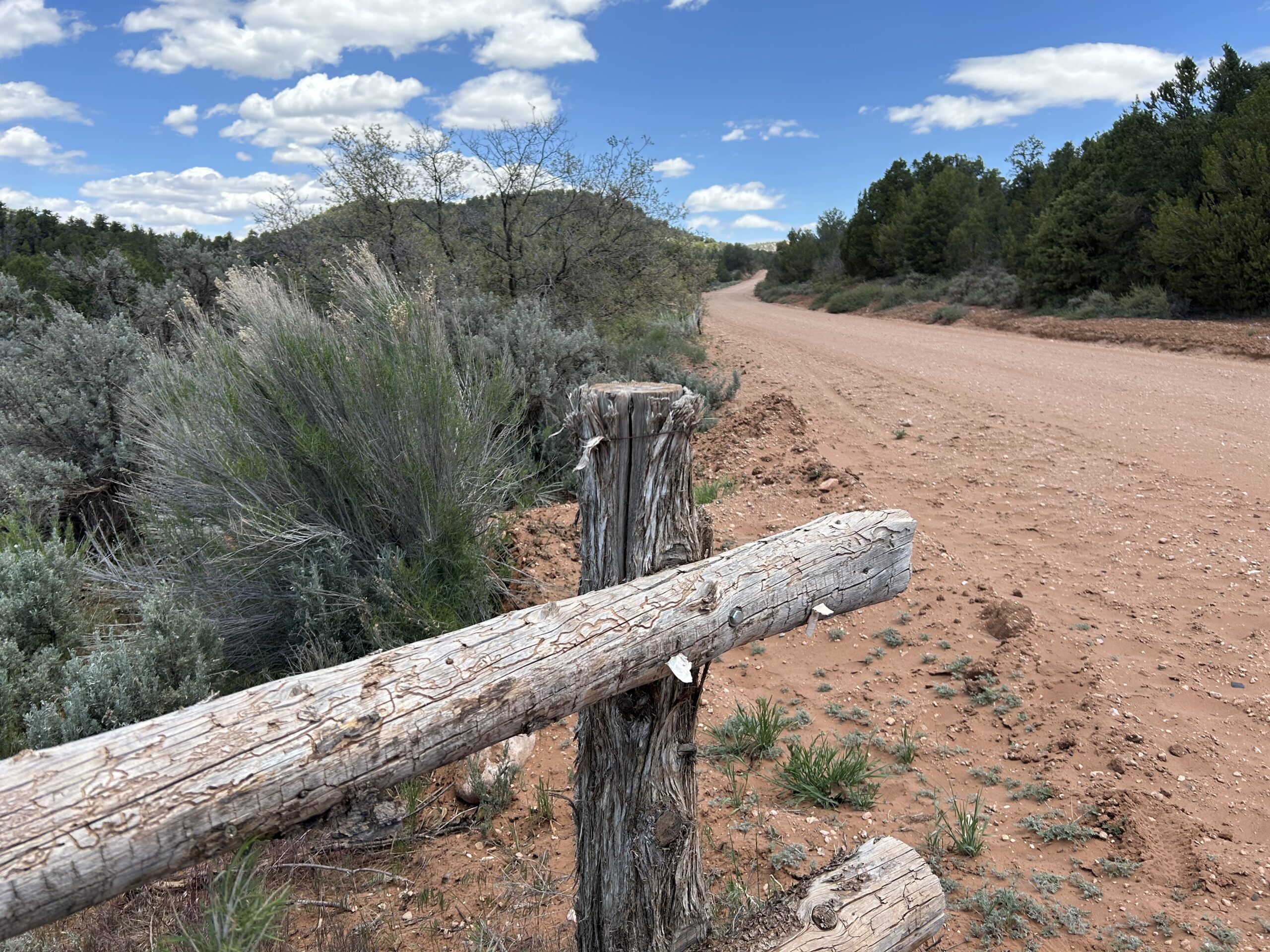
After about 40km the pavement ended and we had to continue on a wide gravel road. Perfect road, except for the layer of fine grained sand. A new challenge that made riding harder, and we had to be cautious so that our front wheel did not slide away. It was difficult at times, but we’ve seen far worse. After 20km we entered the private road of a ranch. The owners had given permission to pass for the cyclists of the Western Wildlands Route. It took us three hours to cross the land. And by seeing the environment and road signs, it was even much bigger. All afternoon we had views on rock formations like the one’s in Bryce Canyon. It took us all afternoon to get really close.
When we left the ranch territory, the real climb of the day started. We had to climb over 600m in a 11km distance. Not too bad at all, however the last 2km where very rocky and steep. We had to walk for about 500m, we managed to cycle everything else. And there we were, on top of the Crawford Pass (2600m).
After the top we continued our ride. The first few kilometers were a fun downhill. I had a moment where I had to brake for a patch of bad road surface, and at that moment a very far cousin of Rudolph the Red Nose Reindeer decide to cross the road. If I had not braked for the road, I am not sure if I was able to avoid a collision. Close call, but somehow exciting as well.
We decided to ride for an hour or so and to find a campsite. We found out we were in an area where you had to camp on designated camp spots. Normally no issue. But it is memorial day weekend, meaning crowded. Anna already warned me this morning to watch the traffic, it could be more busy than usual. For traffic it was OK on the back roads we use, but I did not realize the limit camp sites. We were already thinking what to do, continue to Bryce City? We wanted to stop in time today. Fortunately, after about 30 minutes I saw a sign that we were out of the regulated camping area. 10 minutes later we had a beautiful dispersed campsite. We setup camp, ate, and got our needed rest.
Gallery