Today we rode from a dispersed campsite close to Bryce Canyon National Park to a dispersed campsite on the Aquarius Plateau. Oh no, we did not make that. We ended the day at an RV Park in a small community. The weather started great with blue skies. In the afternoon that changed to clouded, and then rain. We were supposed to have a gravel and double-track all day, but eventually the afternoon was paved.
Riding statistics: on Saturday May 25, 2024, the 17th day on the Western Wildlands Route route, it took 11:07h (07:42h moving time), between 06:39 and 17:47, to cover 111 km (69 miles), including 1048 m (3438 ft) elevation gain, with an average speed of 14 km/h (9 mph). During today's ride the average temperature was 15 °C (60 °F) with a minimum of 1 °C (32 °F) and a maximum of 27 °C (84 °F).
Totals: So far, it took 5 days, 10 hours, 12 minutes and 52 seconds of cycling time to cover 1772 km (1101 miles), including 21846 m (71677 ft) elevation gain, with an average speed of 13.8 km/h (8.6 mph).
We started our day at he beautiful dispersed campsite close to Bryce Canyon National Park. It rained a while at 4.30 and that got me worried. Fortunately, it wasn’t that long. In the morning it was cold, I even saw ice on the outside of my tent while packing. When we left the sun was already rising, and in some sections we could already enjoy it’s warmth. It did not take a long time before we arrived at Bryce City, the commercial stuff before you normally enter the park. We bought groceries for two days because we expect to by in the outdoors again and I’m not sure we even make the next town the day after. We enjoyed a breakfast in the sun while storing everything on the bike.
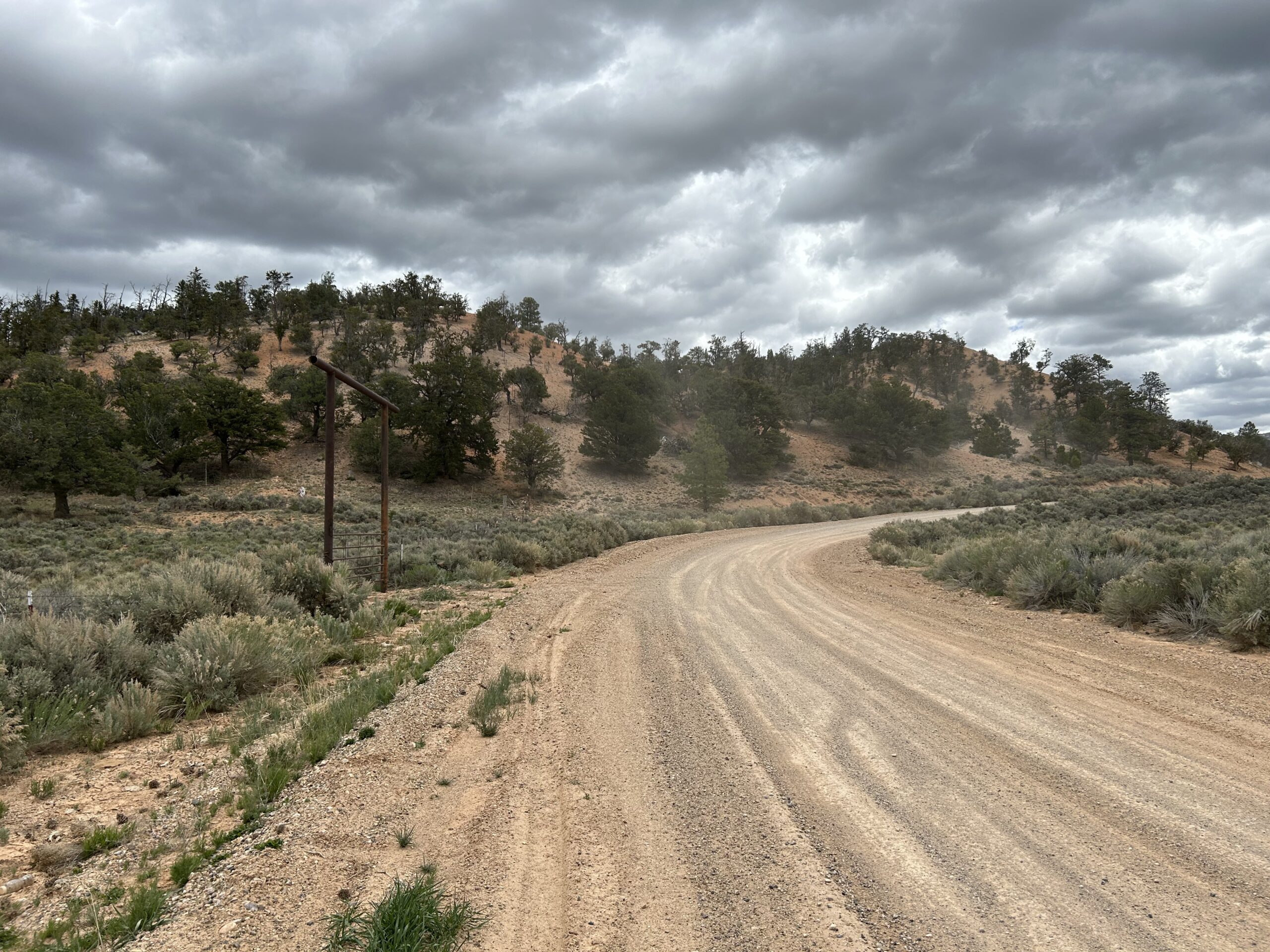
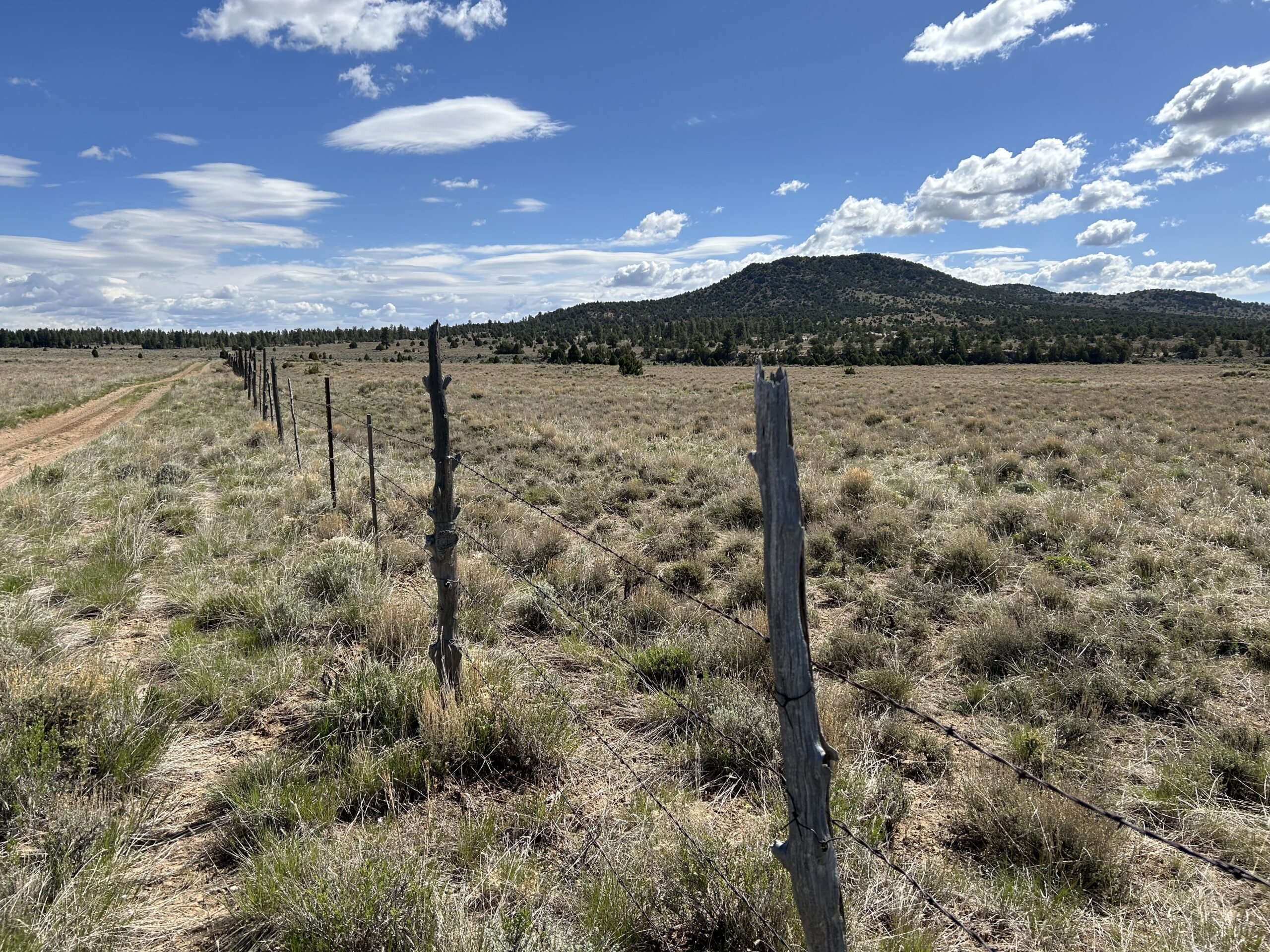
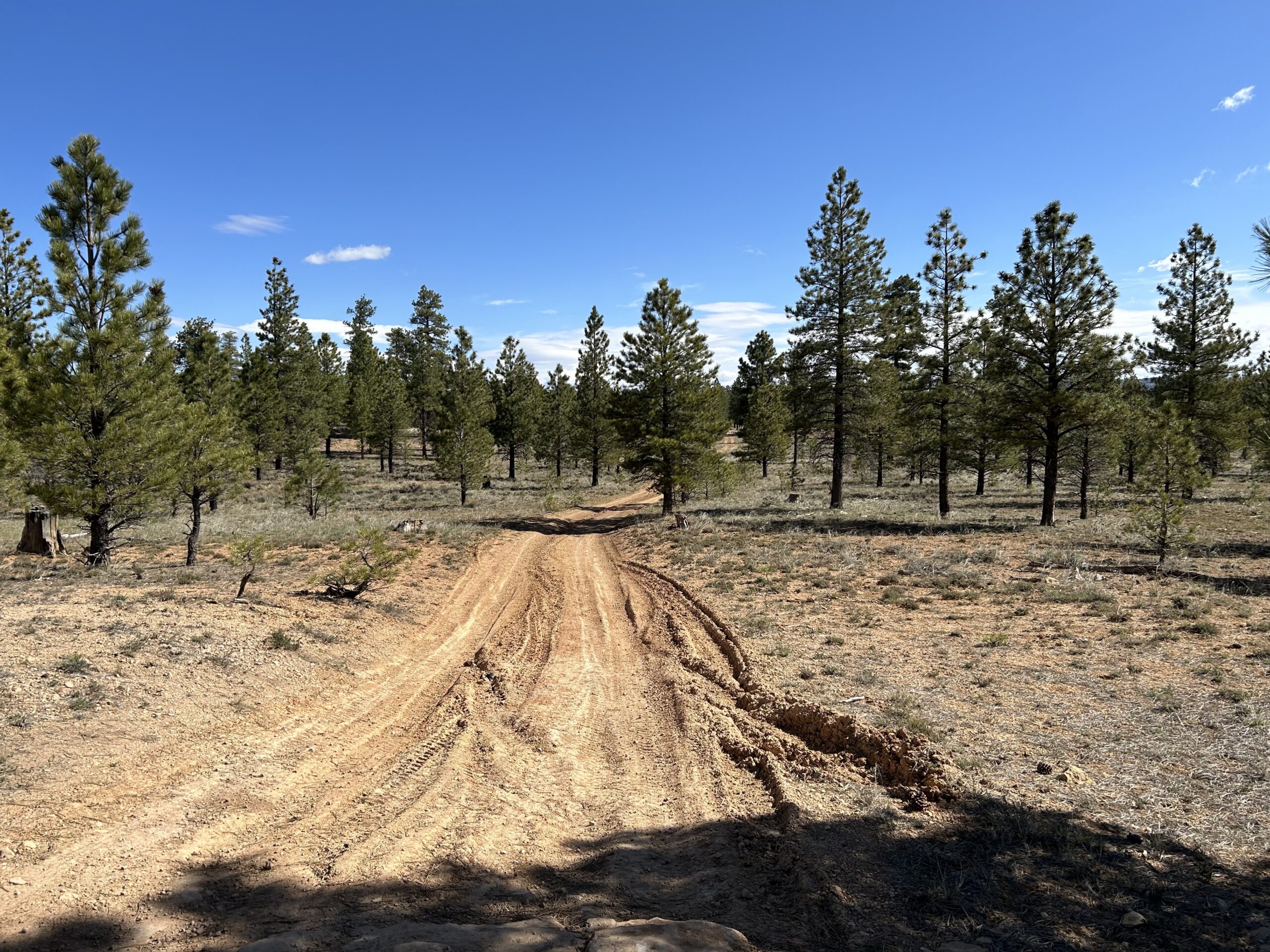
When leaving Bryce City we followed a very nice bike path. Until we had to take an off road side road. We passed Bryce Canyon Airport (very small) and started our route into the mountains. The wind was present and mostly into our favor. After some climbing and going back and forth between mountains and meadows, we started a very long and comfortable downhill on a wide gravel road. Meanwhile there were more and more clouds, and eventually the sun disappeared completely.
When the downhill finished there was a strong wind and dark clouds. We had to climb 1000m in a distance ofn 22km, going to altitude of 3300m. We had several breaks, and made good progress. About half way, two ATVs came down the mountain, they had to turn around because of the amount of snow, they could go to about half a meter, after that, their ATVs could not go any further. This snow would go on for many kilometers. That combined with the current weather was a no-go to continue this route. We discussed our options with the two friendly persons from the ATVs and the best option was to go all the way back to the road we crossed just before this climb. From there we would follow it in a northern direction.
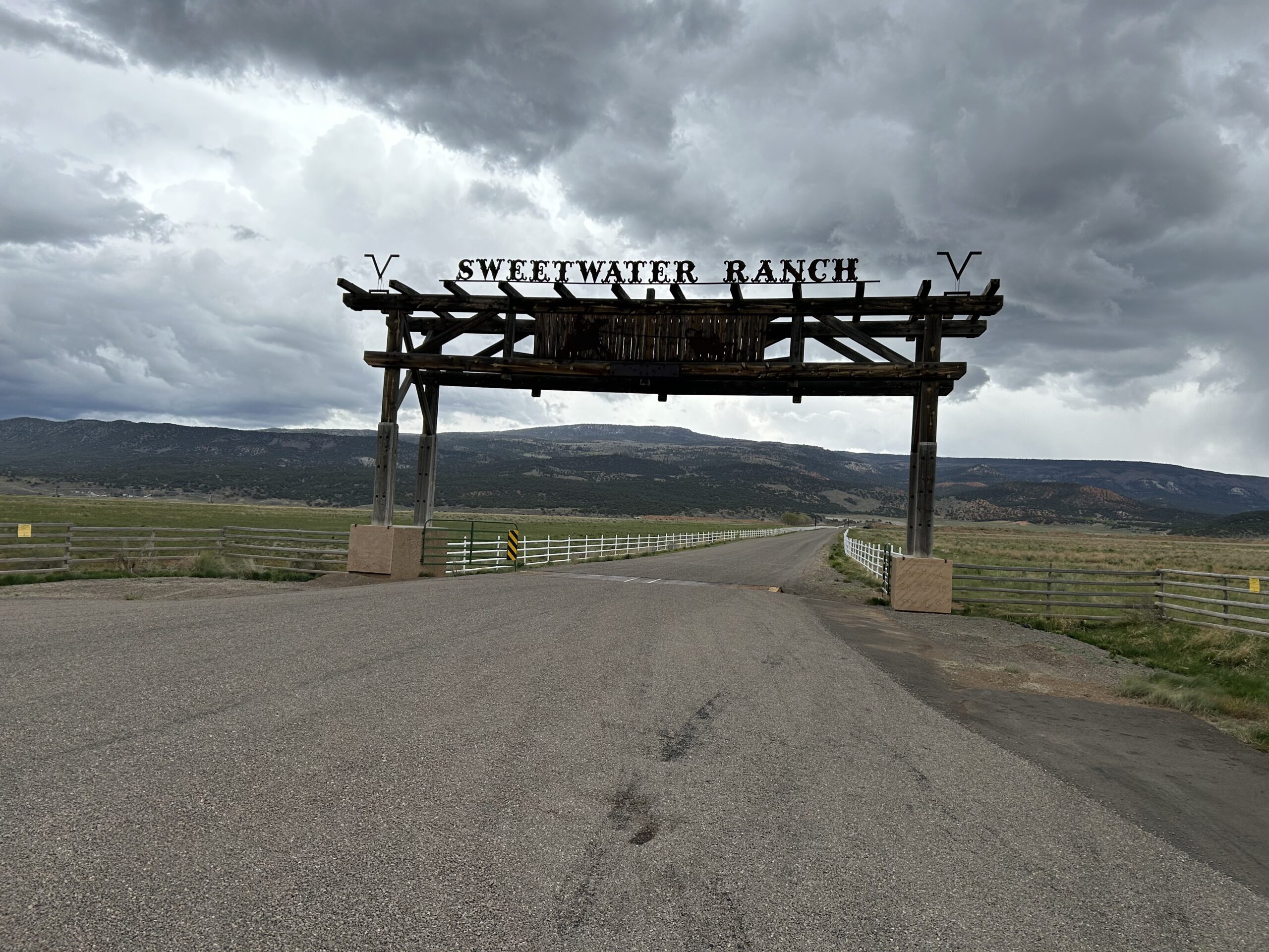
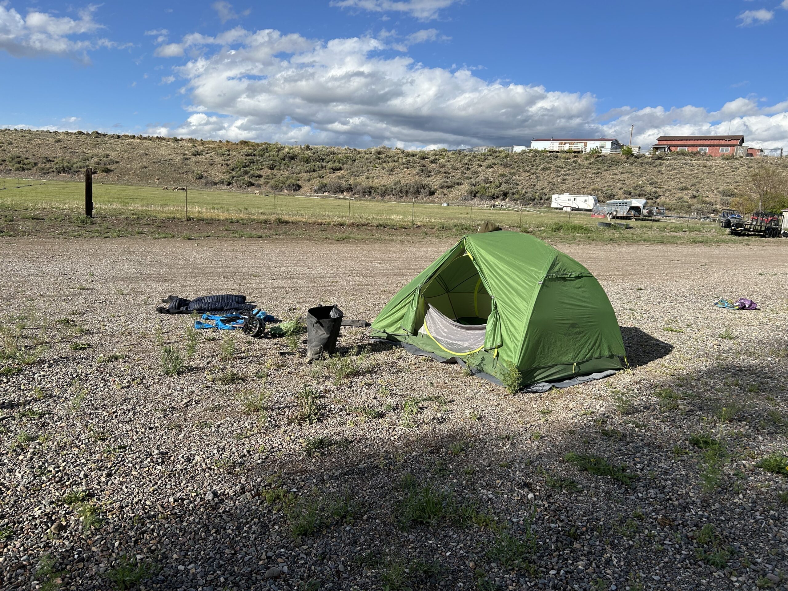
During our downhill back to the start of the climb, we got rain. I even got into main rain gear. Downhills can be cold, especially with a cold wind and rain. While riding the road north we had no idea where to sleep for the night. Public land wasn’t as much available as in the back country. The weather got worse and we could only continue cycling since there was nothing to use as a shelter. Eventually we saw an RV Park sign when entering Antimony. We immediately followed the sign and asked the jostnof she would allow two tents. Not a problem. So instead of sleeping on a dispersed campsite at 3km altitude, we now sleep at an RV Park at a much lower altitude and we even have a shower. Fortunately there was a bit of sun in the evening so that we could dry some stuff. Tomorrow I will figure out how to continue the route to Salina. From there we have to take an alternative as well, since there is still over 1.5m snow on the route north of Salina (the beautiful Skyline Drive).
Gallery