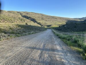
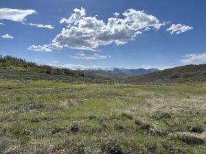
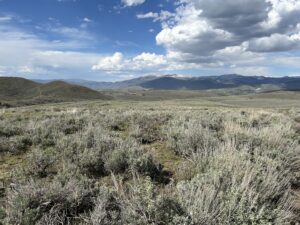
Today we rode from our dispersed campsite east of Strawberry Reservoir to Cottonwood Campground in the Rockport State Park. We had lots of sunshine, but also some threatening clouds. Road surfaces were difficult double-track, pavement, gravel, and a path used by wildlife.
Riding statistics: on Tuesday May 28, 2024, the 20th day on the Western Wildlands Route route, it took 12:57h (08:59h moving time), between 06:41 and 19:39, to cover 122 km (76 miles), including 1709 m (5607 ft) elevation gain, with an average speed of 14 km/h (8 mph). During today's ride the average temperature was 25 °C (80 °F) with a minimum of 3 °C (36 °F) and a maximum of 42 °C (114 °F).
Totals: So far, it took 6 days, 12 hours, 1 minutes and 55 seconds of cycling time to cover 2185 km (1358 miles), including 25591 m (83964 ft) elevation gain, with an average speed of 14.3 km/h (8.9 mph).
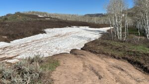
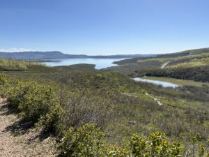
This morning we left our dispersed campsite a little after 6:30. We continued our ride to the Strawberry Reservoir. Only a little over 25km, should be doable within 2 hours. Eventually it took us 4 hours to get there. We had to use a difficult double-track. It was steep, dried up clay which had deep tracks, mud, and snow. So glad we did not have had to try this yesterday evening, we would have failed and sleep in a much worse location than we did. Riding to the Strawberry Reservoir also thought us that there was still quite some snow above 2500m. This meant that we had to find an alternative for a coming section, it has multiple sections above 3000m. So after the strawberry reservoir we decided to use the road to Herber City, and continue to Park City, and join the original route from there. 15 minutes after starting our alternative ride, we looked back and saw a pitch black sky. Another reason not to be up there.
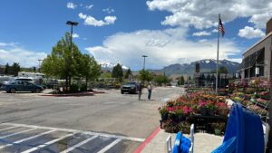
The ride to Herber City was almost all downhill (20km). Usually there was a broad shoulder, but on a few section there was hardly one, that was not relaxed. When we arrived in Herber City we went to the Walmart to buy a lunch and eat it outside in the sun. Some guy from the garden department just finished using a hose, so I asked him if he could point at some locations on my bike, especially for the dried up mud of this morning. The guy handed me the hose, help yourself if you want to, when finished just put it back. Thank you!
I used Google maps again for finding a route to a lake more north. That way we had a nicer ride and skip Park City. We left Herber City and rode a nice gravel road for 20km. And suddenly it was a dead end. There was a gate, locked, that it now was a wildlife area. No Trespassing!! Going back was not really an option. So we went for it. Bikes over the fence 10m away, where the fence was broken. We were a bit cautious because trespassing is usually not appreciated. All feni for about 5km, then we got a bit lost. The road indicated by Google maps wasn’t there anymore. We saw several small paths but had no clue which to use to get out of there. Some went further into the mountains others just seem to cross the area. I opened the trail and satellite maps and that is how I figured a way out. From the wildlife area we got into another private property. We felt we had no choice because dark clouds were nearing. We again lifted our bikes over a low fence and went for it. A little further, the road became much better and we ended up in a brand new, still under construction, residential area with huge houses. We rode a few kilometers and were out of this ‘gated community’. The bad weather just missed us luckily.
From there we rode through several small towns to the Cottonwood Campground in the Rockport State Park.
