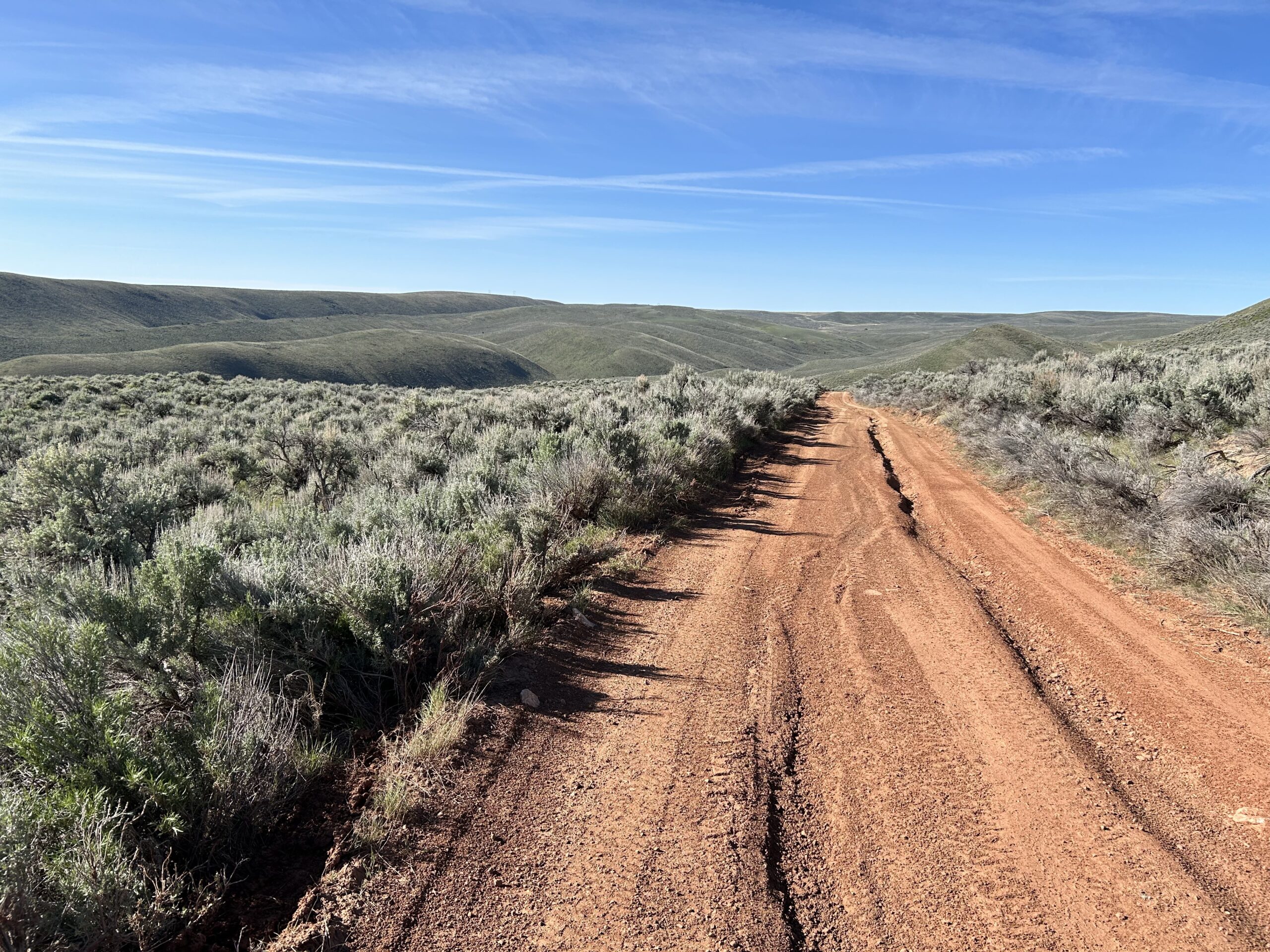
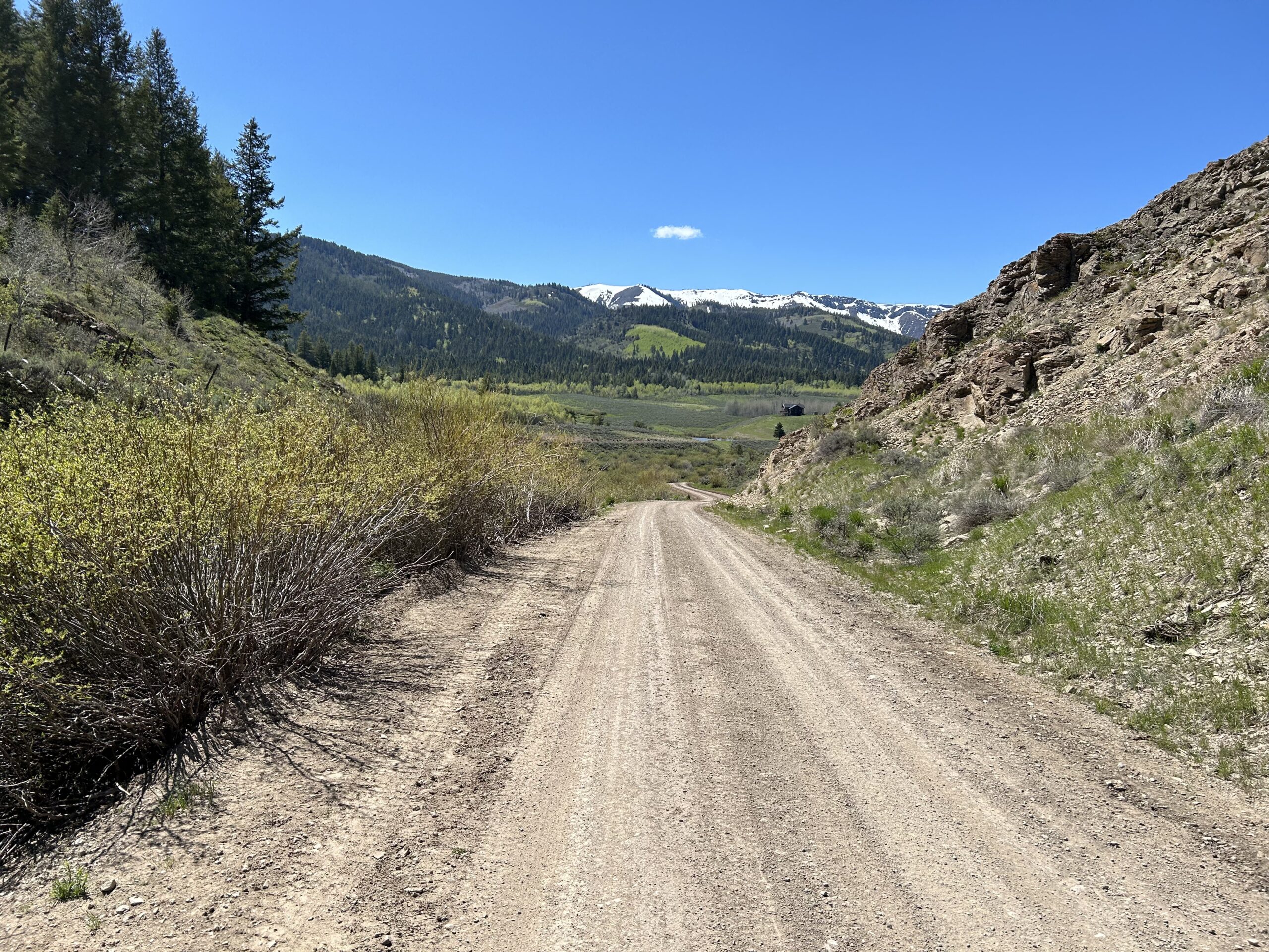
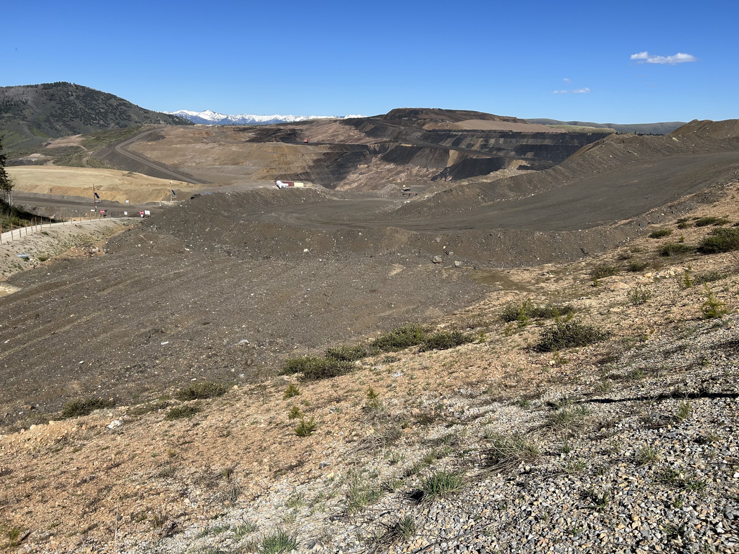
Today we rode from the North Eden campground in the Bear Lake State Park to a dispersed campsite 1km after the Smokey Canyon Mine, and 3km before the top of a pass. We mostly cycled on gravel today. The weather was a clear blue sky all day, plus a bit of a sometimes chilly wind.
Riding statistics: on Friday May 31, 2024, the 23rd day on the Western Wildlands Route route, it took 11:07h (08:16h moving time), between 06:51 and 17:59, to cover 101 km (63 miles), including 1531 m (5023 ft) elevation gain, with an average speed of 12 km/h (8 mph). During today's ride the average temperature was 22 °C (74 °F) with a minimum of 4 °C (38 °F) and a maximum of 39 °C (108 °F).
Totals: So far, it took 7 days, 10 hours, 48 minutes and 6 seconds of cycling time to cover 2525 km (1569 miles), including 29075 m (95395 ft) elevation gain, with an average speed of 14.4 km/h (9 mph).
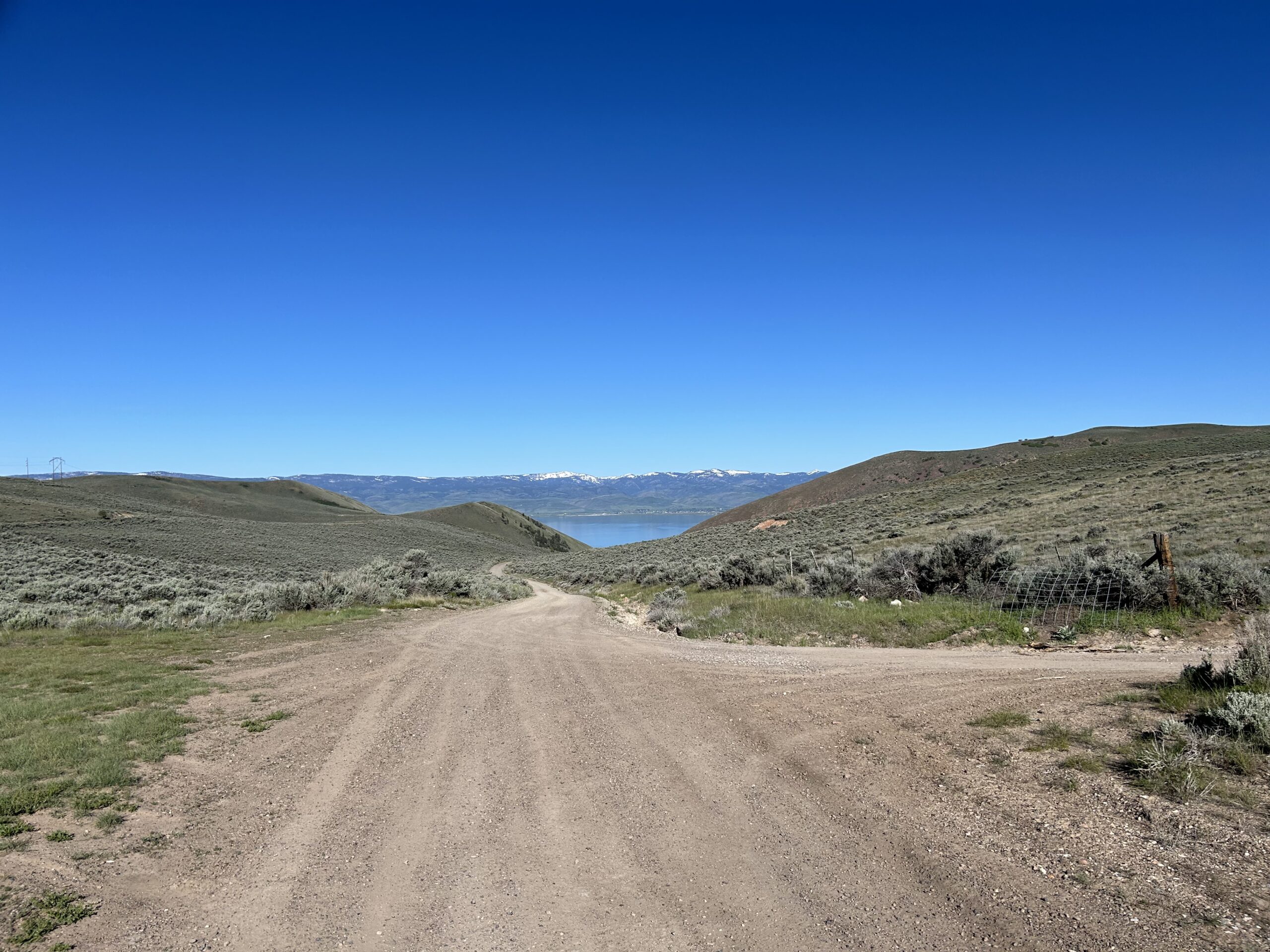
After we got ready this morning we continued cycling along Bear Lake. The campground was on the Utah / Idaho border, so we immediately entered Idaho. After about 10km we turned away from the lake and we had our first climb of the day. About 250m in elevation in about 5km. It was needed to get over a mountain range into a valley at the other side.
We followed the valley for a while until we reached ‘border road’. It is a road on the border of Idaho and Wyoming. So, within 3.5 hours we visited three states (Utah, Idaho, and Wyoming) and ended back into Idaho. Of course we had to get back over the mountain range, so another similar climb.
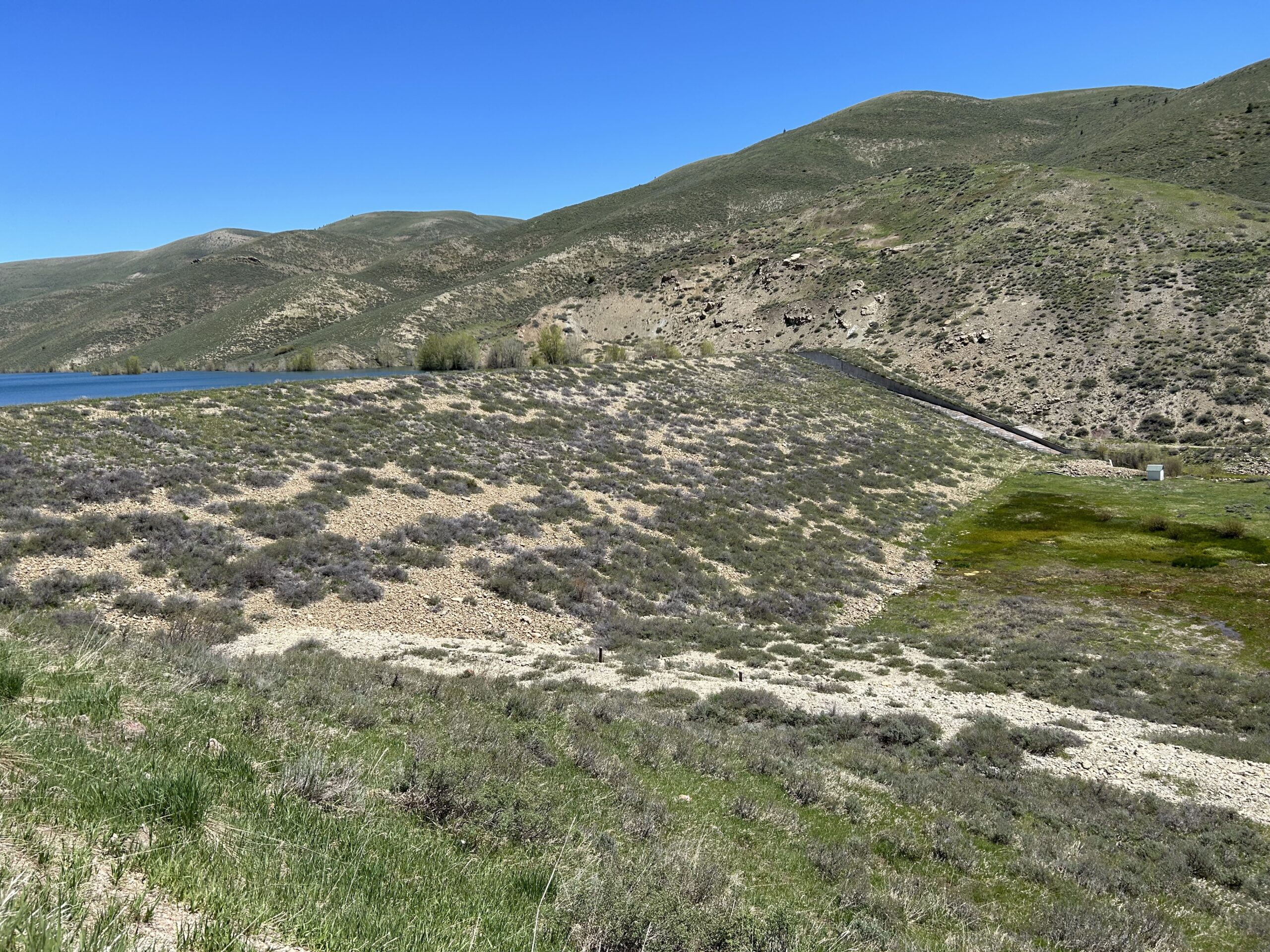
Not much later we passed the Montpellier reservoir. It seems they collect melt- and rain water in there before releasing the water to lower areas. Next to the Montpellier Reservoir there is also a Paris, and I think I saw a Berlin or Bern.
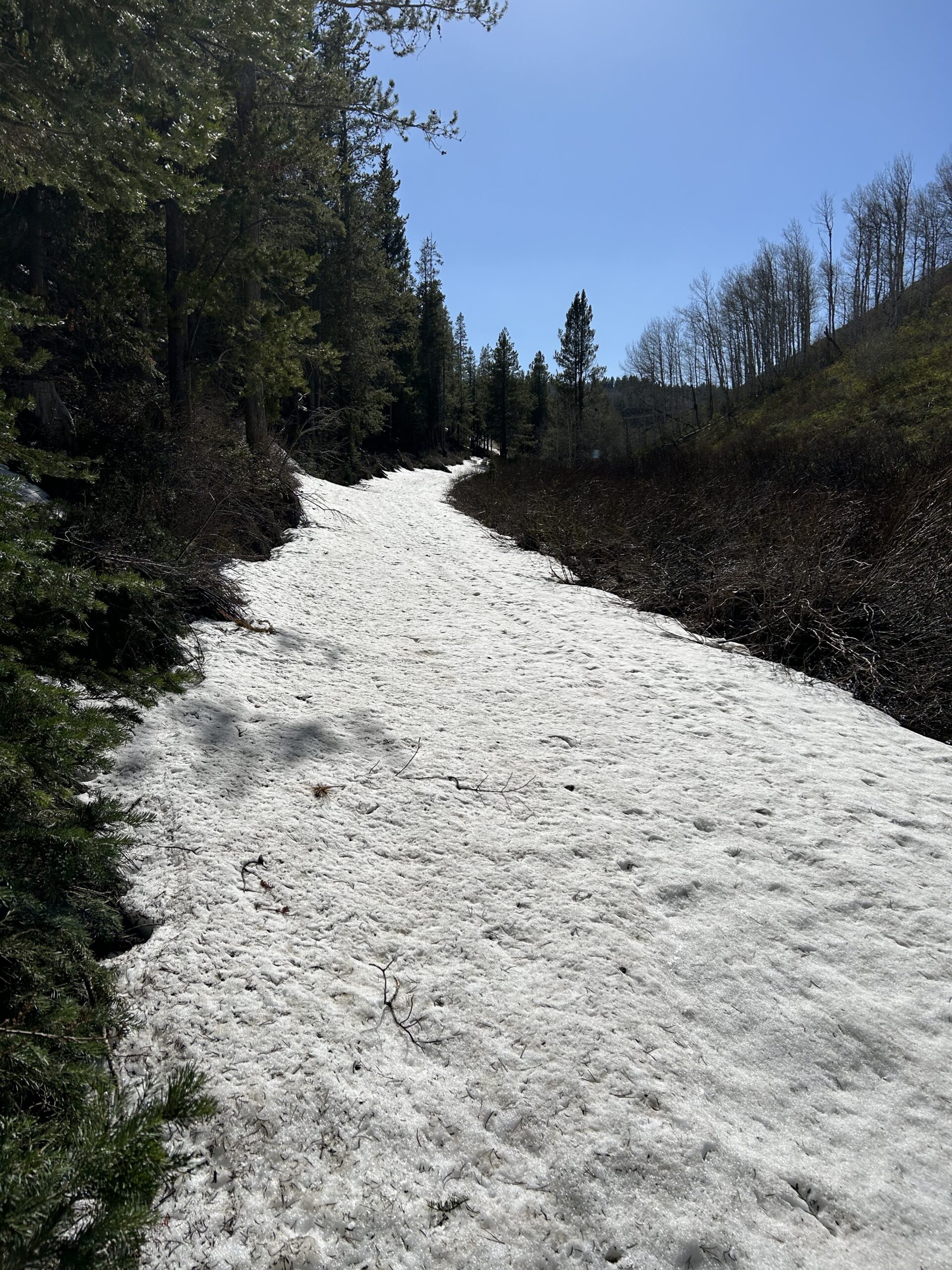
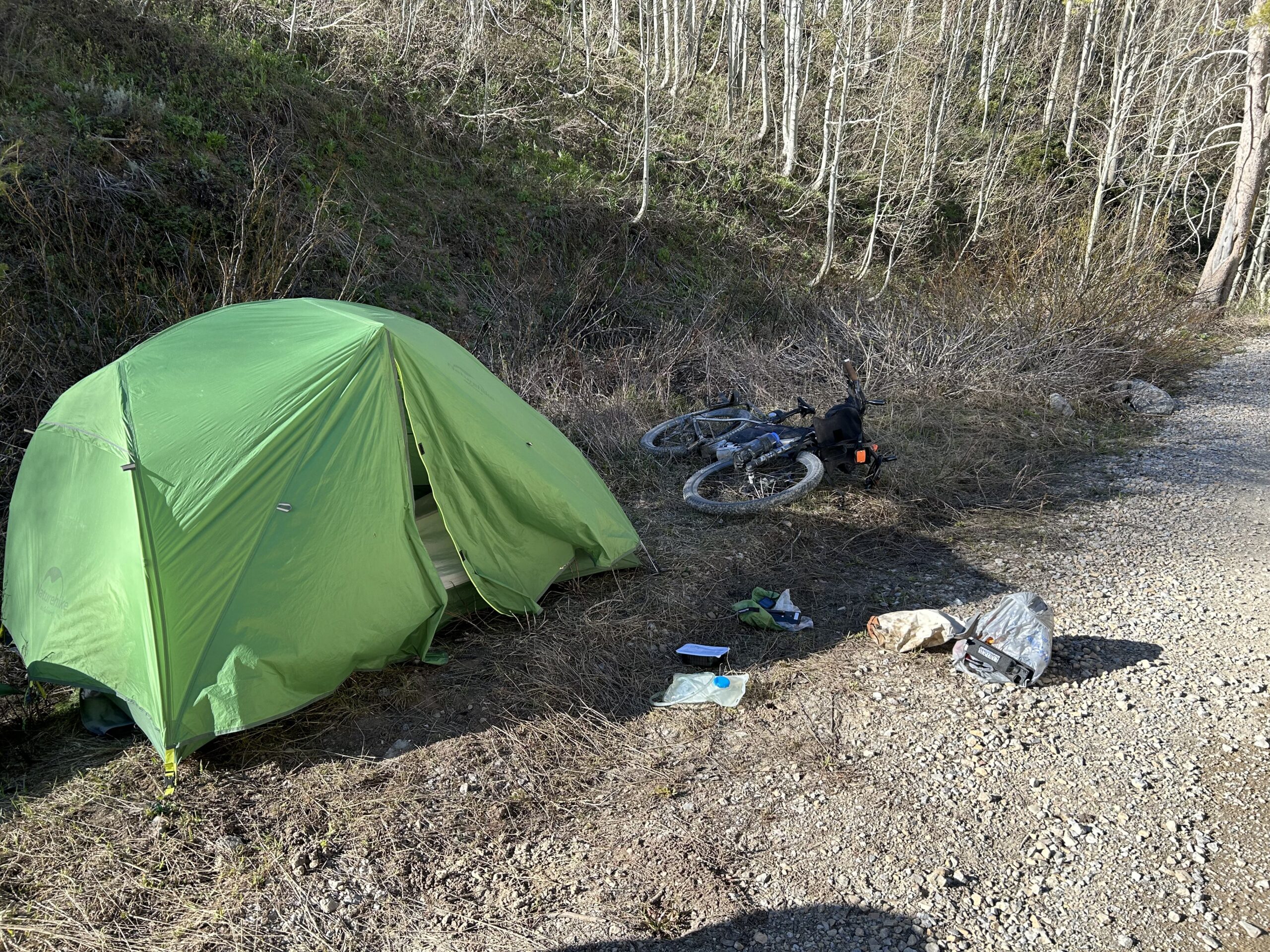
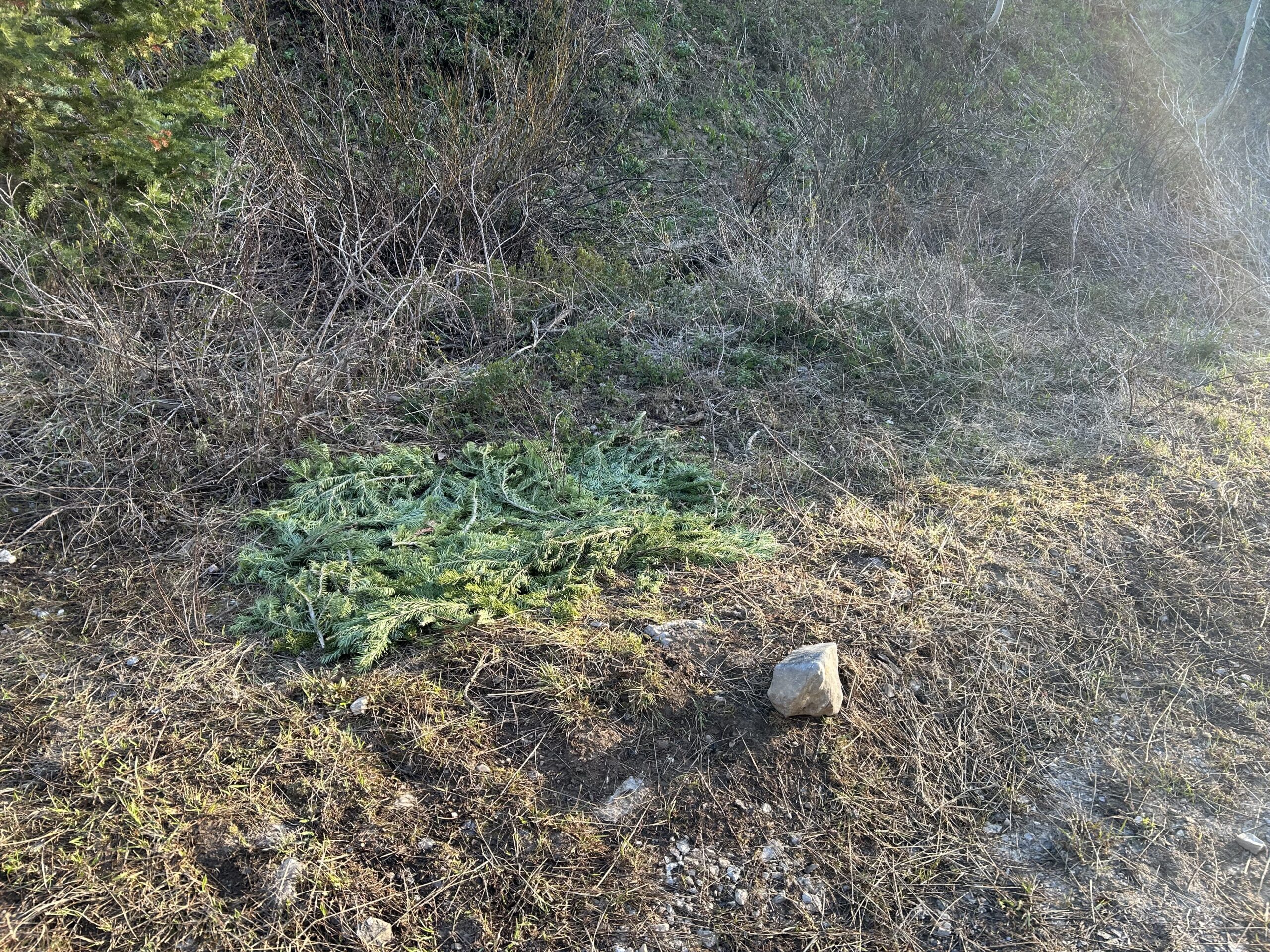
After the reservoir we got several more climbs. And the last one of the day would be a 10km climb with an elevation gain of almost 500m. The top of the pass would be at 2453m. We already hoped we could pass because turning around would be no option either. That would cost a lot of extra time and effort. When we neared the 2300m there was more and more snow on the path. Eventually a thick layer from side to side and now way to get around. This will probably continue for several kilometers. This was a section at the north side. A stretch of 1.5km, then the road would be at the west side, where we hope the longer sun time has melted more snow, although it is higher in elevation. It was late afternoon and your feed went deep into the snow. That would give us wet shoes, wet socks, feeling cold, and not really a way to dry and heat up. That is when I proposed to sleep where we were, and continue in the morning, the snow should be much harder the first few hours of the day. So we setup camp, next to the trail, which wasn’t used by anyone else, and next to a noisy stream. We ate dinner, hung our food, and went to bed. Hopefully things work out in the morning, fingers crossed. I expect a cold night and a cold morning.
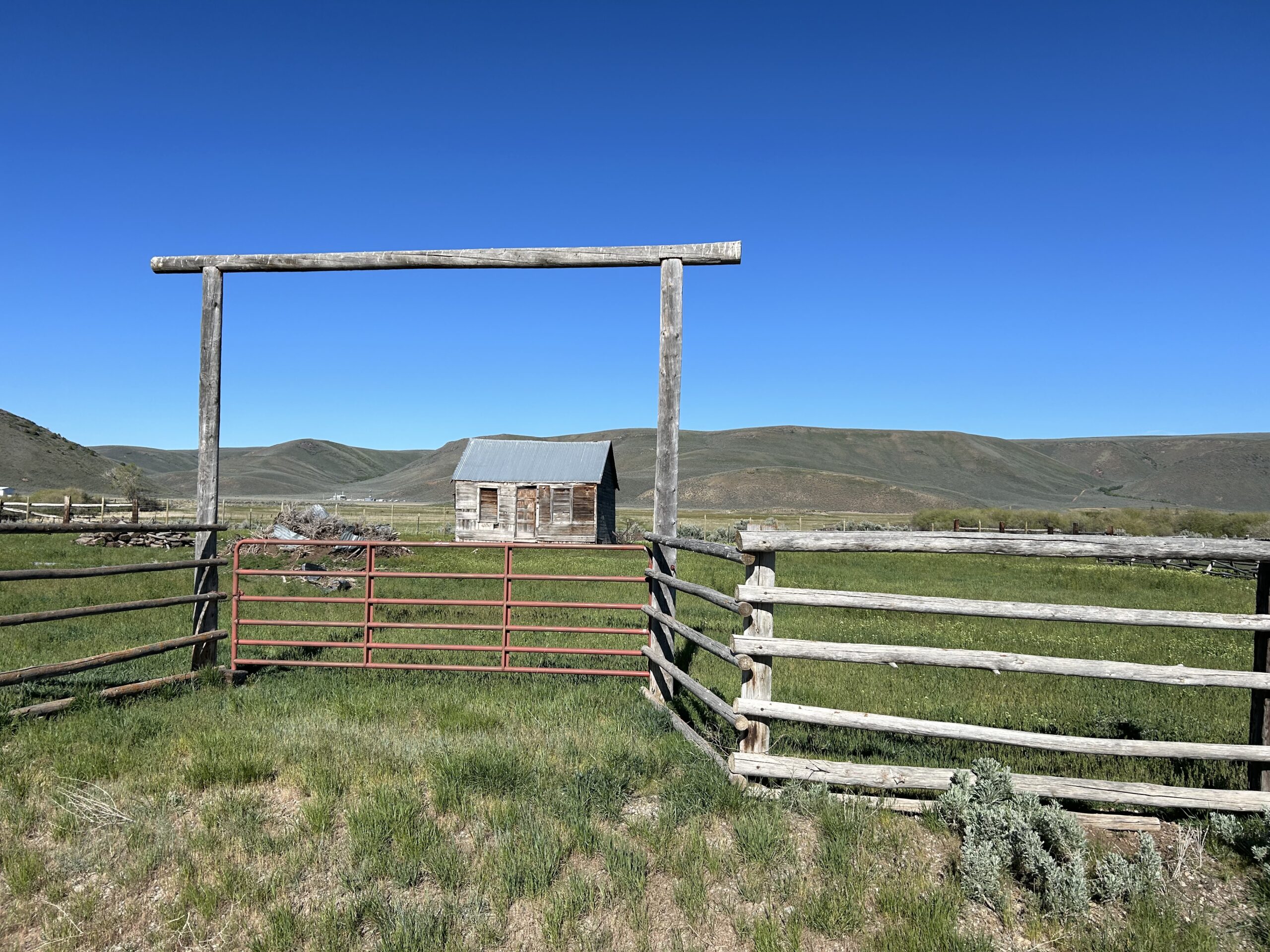
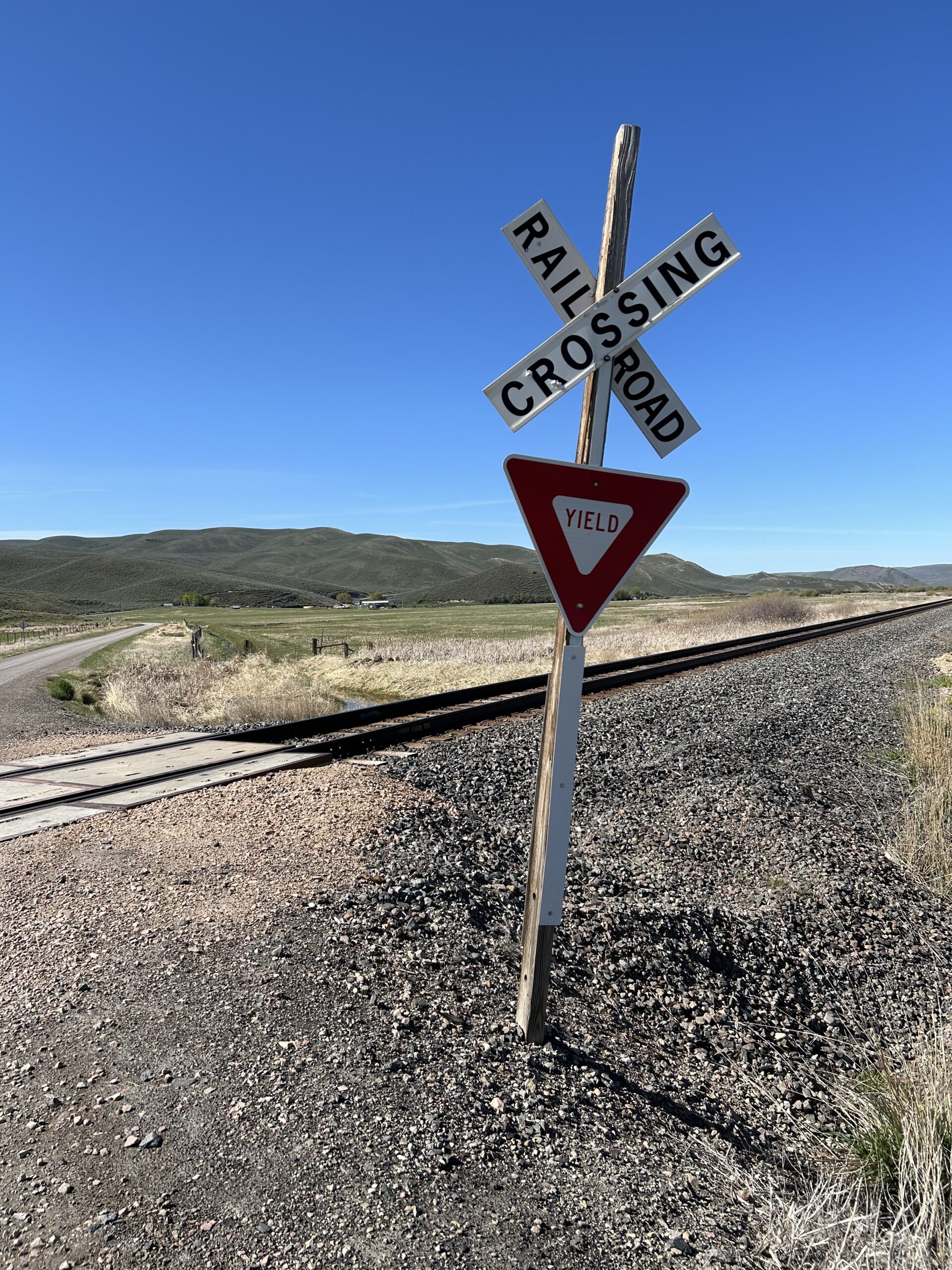
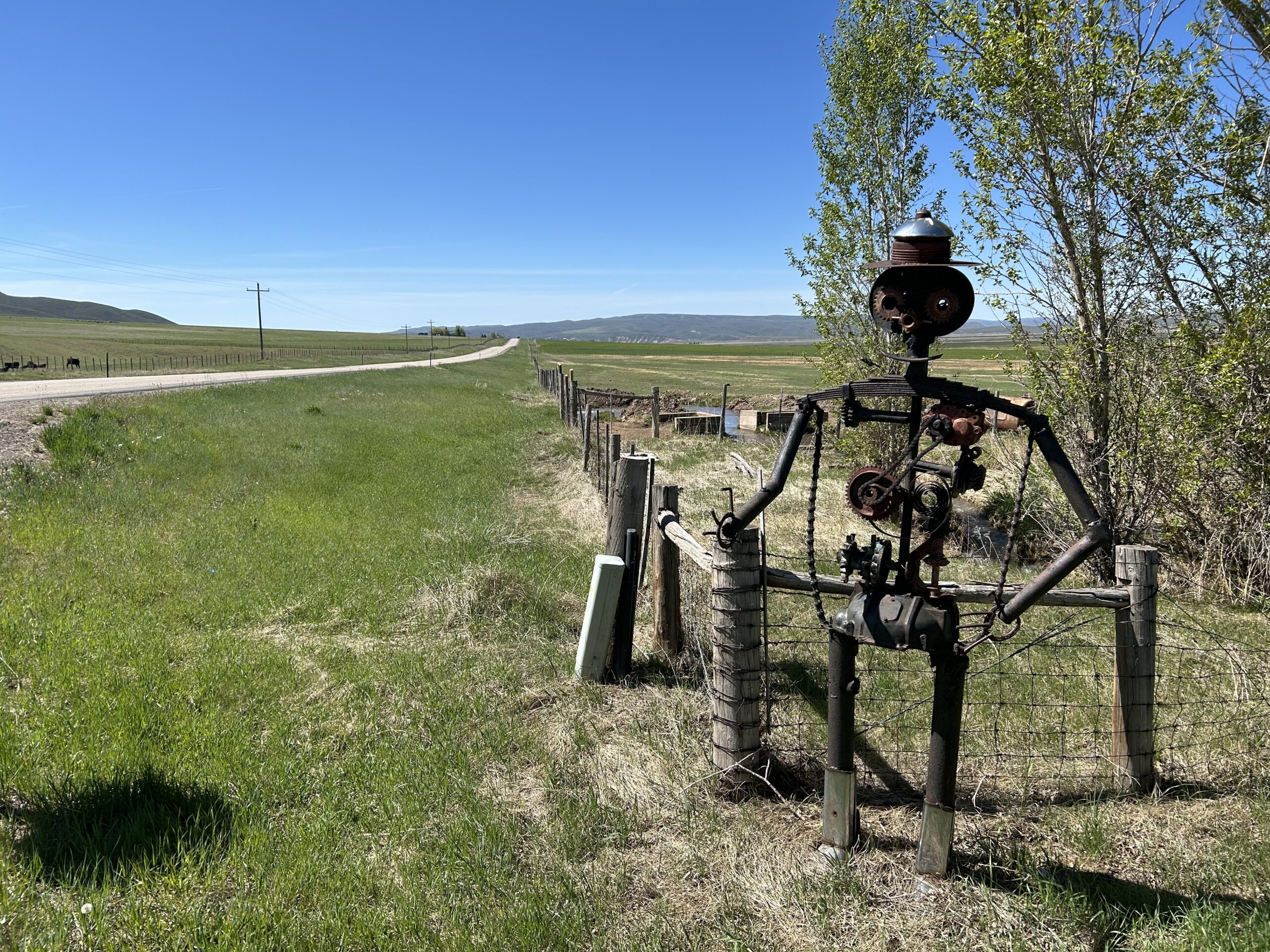
Gallery