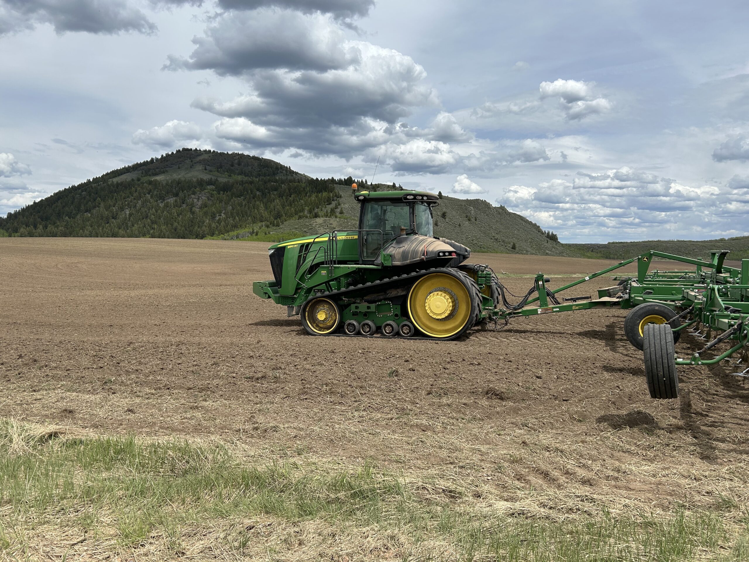
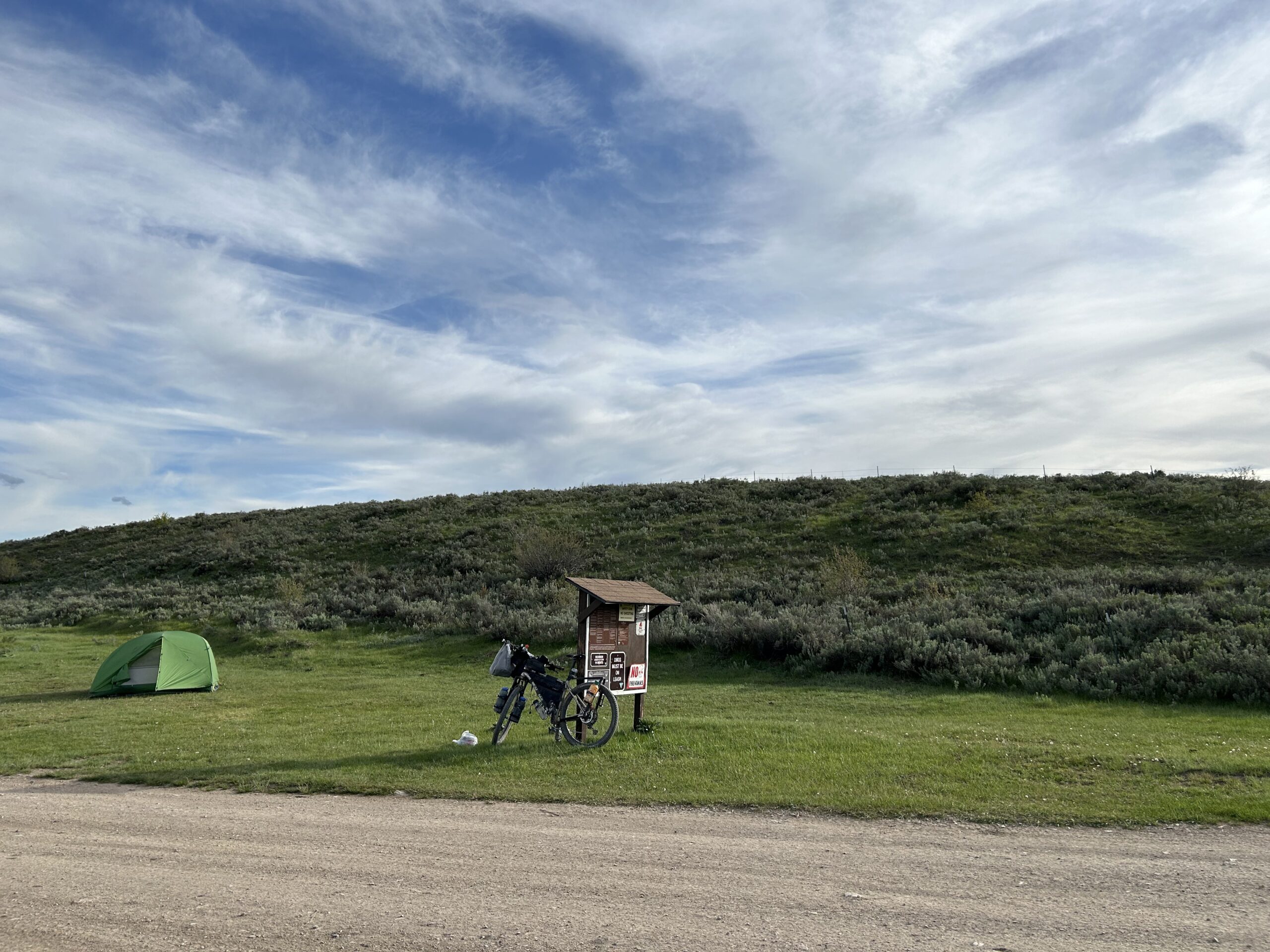
Today we rode from our dispersed campsite near the Smokey Canyon Mine to Sagehen Flat campground between Soda Springs and Blackfoot. The day started with blue skies but soon clouds formed above the mountains, there seemed to be rain behind us, but we only got threatening clouds in the afternoon, and eventually friendly clouds with some sunshine to end the day. We have cycled mostly on gravel and some double-track.
Riding statistics: on Saturday June 1, 2024, the 24th day on the Western Wildlands Route route, it took 10:36h (07:25h moving time), between 07:12 and 17:48, to cover 117 km (73 miles), including 1077 m (3534 ft) elevation gain, with an average speed of 16 km/h (10 mph). During today's ride the average temperature was 21 °C (72 °F) with a minimum of 2 °C (34 °F) and a maximum of 33 °C (96 °F).
Totals: So far, it took 7 days, 18 hours, 13 minutes and 44 seconds of cycling time to cover 2642 km (1642 miles), including 30152 m (98929 ft) elevation gain, with an average speed of 14.5 km/h (9 mph).
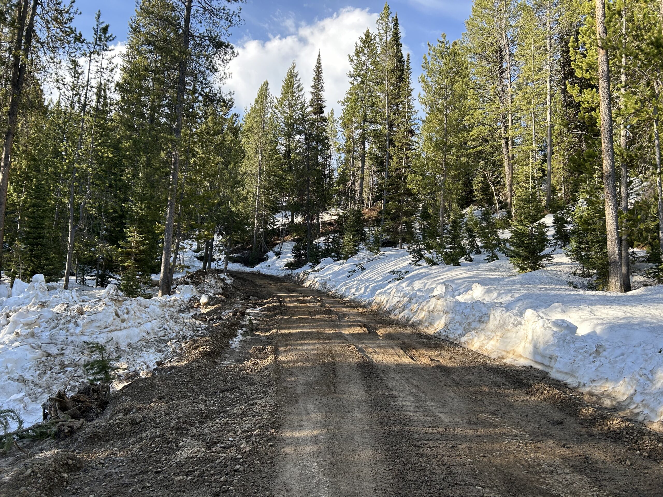
When we got up this morning it was cold, ice all over the outside of the tent, and on the side of the bike facing up. We quickly made everything ready, I added a rain trousers, and overshoes, to protect against the snow. For one thing was right, we could walk, and even cycle, over the snow. Yesterday we would sink into the snow, now it was hard enough to go over it without any issue. Yesterday evening, around 22:30, a vehicle suddenly passed our tents. About 5 minutes later it came back. I was too late to get it stopped and asked for road conditions. Now I kept wondering, was the snow pack too high to even pass? What if we have to cycle 35km back to the main road and then find an alternative route? At least we could make a start with our attempt. We made it through the first km by riding over the large snow patches. After that km, we had to cross one of the private roads of the mining company. From there we had to climb another 100+ meters over a distance of 2km. We were nervous, would it be possible? We started our climb and noticed that some big vehicle has used the road. At the west side there was less snow initially, but in the dense forest, there was still quite some snow. Fortunately, that big vehicle has cleared the road from snow. Leaving tracks and mud, but at least we could cycle. Holding our breaths to see if it continued like this. And it did, we could pass the top of the mountain and downhill without further issues. Glad we had a little more clothes on, because the downhill was cold, very cold. But we were happy that we could continue the original route.
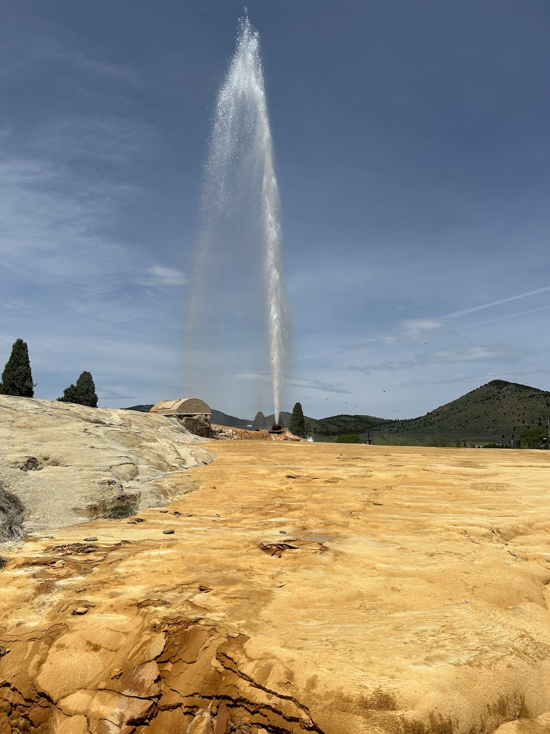
We had to cycle about 55km to get to Soda Springs. According to our information there was not much, only a grocery store. It turned out there was more. Two gas stations, a subway, and more local companies. Also the grocery store was much larger than expected. We bought food for two days, because I expected that we will make Blackfoot only the next late afternoon. With our bikes loaded up with groceries, and our bellies filled with some food, we continued our ride. While riding out of town, we saw the local geyser. It gets active every full hour, and we were exactly on time. It is the town’s local attraction, next to the massive mine just outside of town.
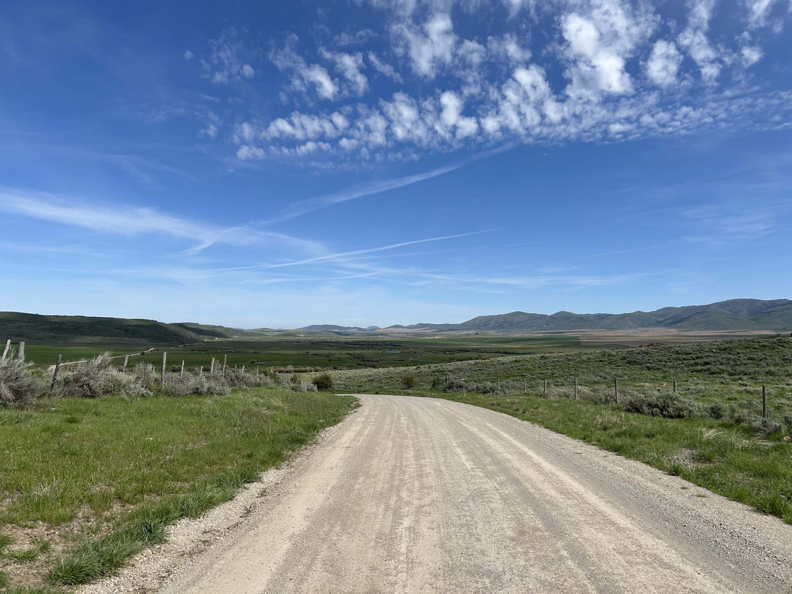
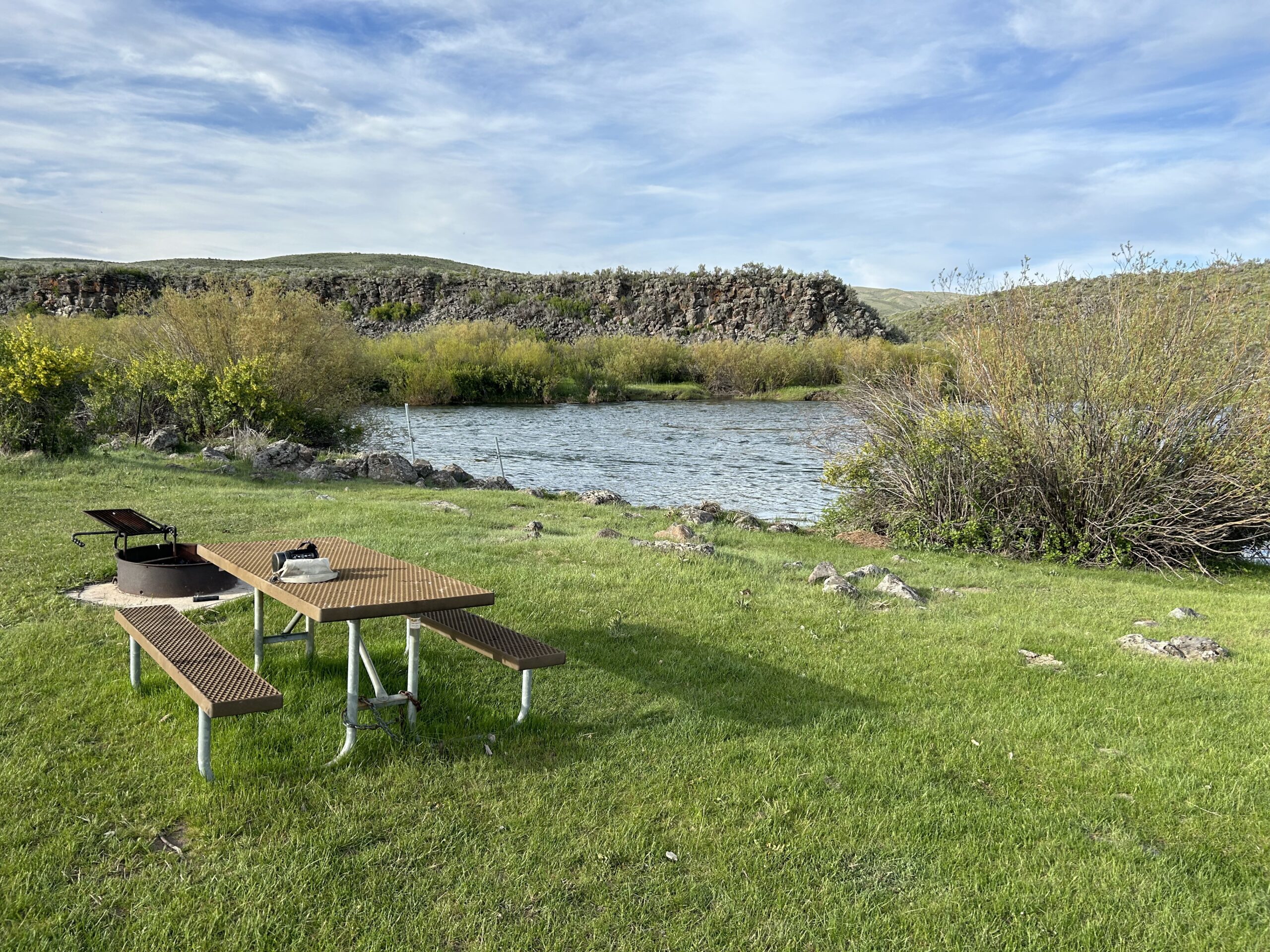
I figured we should be able to make it to a simple campground, about 60km ahead. It was a long ride to Idaho’s farming fields. The clouds looked very threatening, and it seemed to rain around us in the mountains. Fortunately, we had no rain, and in the late afternoon we even got some sunshine until sunset. We found the campground, it was indeed very simple, a pit toilet, and two picnic benches with fire pits. And, a beautiful scenery along the river. Good enough for us.
Gallery