Today we rode from the simple Sagehen Flat campground to a dispersed campsite 30km after Blackfoot. Today we got a cloudy day but also a (less warm) sun was shining. The road surfaces today were paved and non-paved 50/50.
Riding statistics: on Sunday June 2, 2024, the 25th day on the Western Wildlands Route route, it took 11:23h (08:27h moving time), between 06:48 and 18:12, to cover 119 km (74 miles), including 841 m (2759 ft) elevation gain, with an average speed of 14 km/h (9 mph). During today's ride the average temperature was 23 °C (76 °F) with a minimum of 8 °C (46 °F) and a maximum of 32 °C (94 °F).
Totals: So far, it took 8 days, 2 hours, 41 minutes and 41 seconds of cycling time to cover 2762 km (1716 miles), including 30993 m (101688 ft) elevation gain, with an average speed of 14.5 km/h (9 mph).
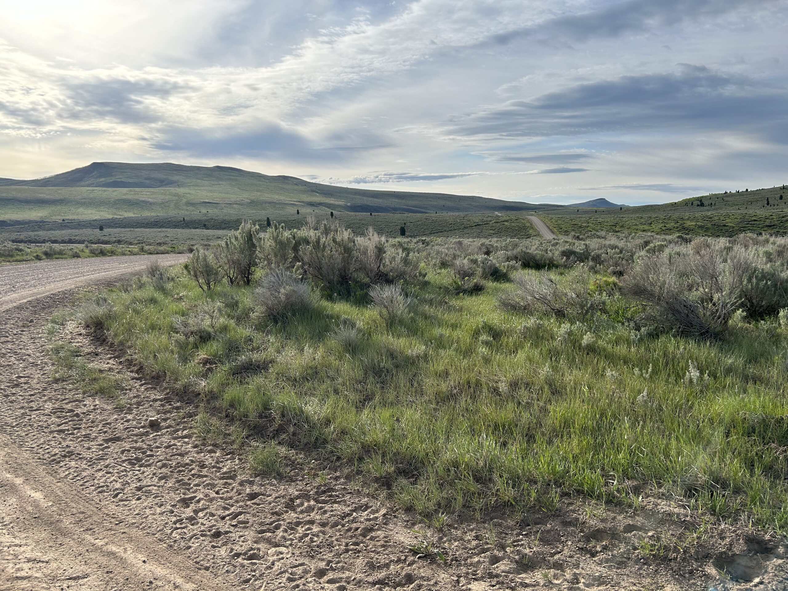
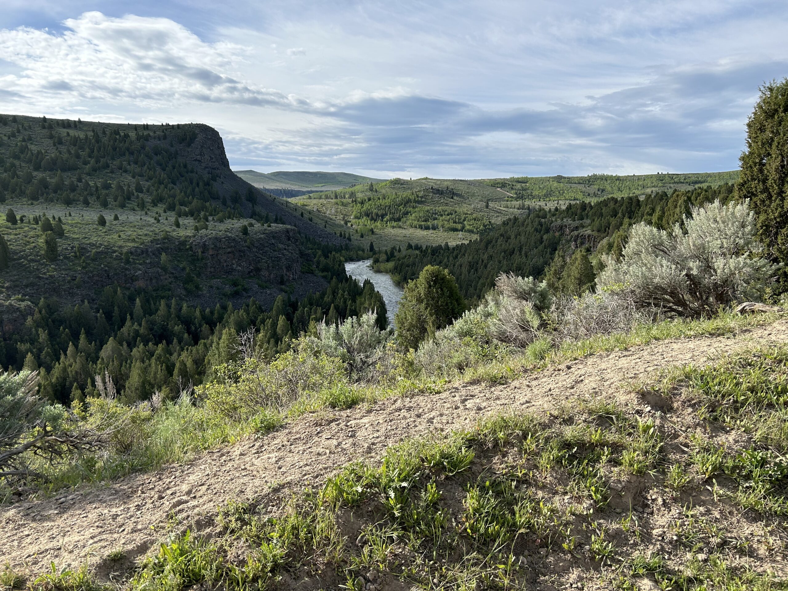
After we got ready on the Sagehen Flat campground we had to climb from the river back onto a mountain ridge. Not a long or difficult climb, but enough to get you warmed up. We continued to follow to Blackfoot river all the way until we got out of the mountains. Meanwhile we had beautiful views and had a winding and up-and-down road, with sometimes a short but steep climb.
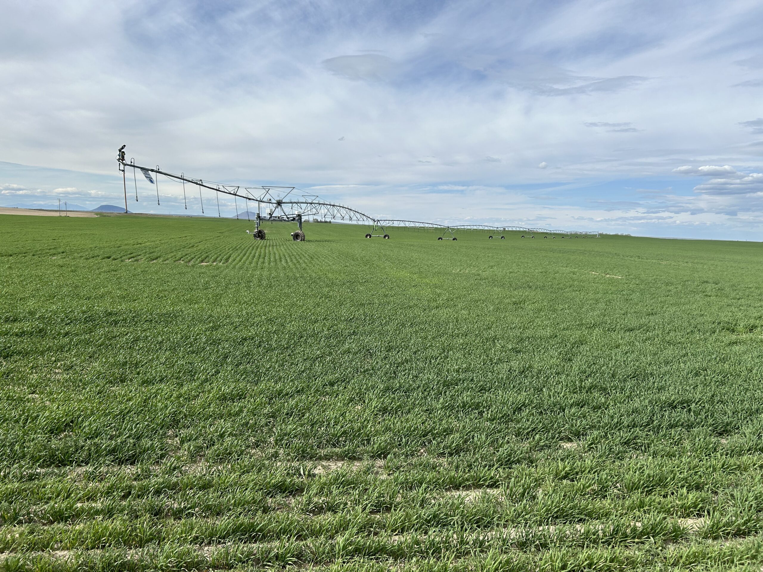
When we got out of the mountains we were again in Idaho’s farming land. Farming land everywhere, and on almost every land there was irrigation active. In the Netherlands we have some kind of famous guy who once got a title in ‘Water Management’. Well, in Idaho they also can manage water, but in a different way. They have so many streams to get the water to all farmland, that you see streams everywhere. And all farmers have huge pumps installed that provide water to massive irrigation systems. The kind of irrigation systems that can irrigate in huge circles. You even see those green circles if you fly over the country. We’ve seen many dozens in the last couple of days.
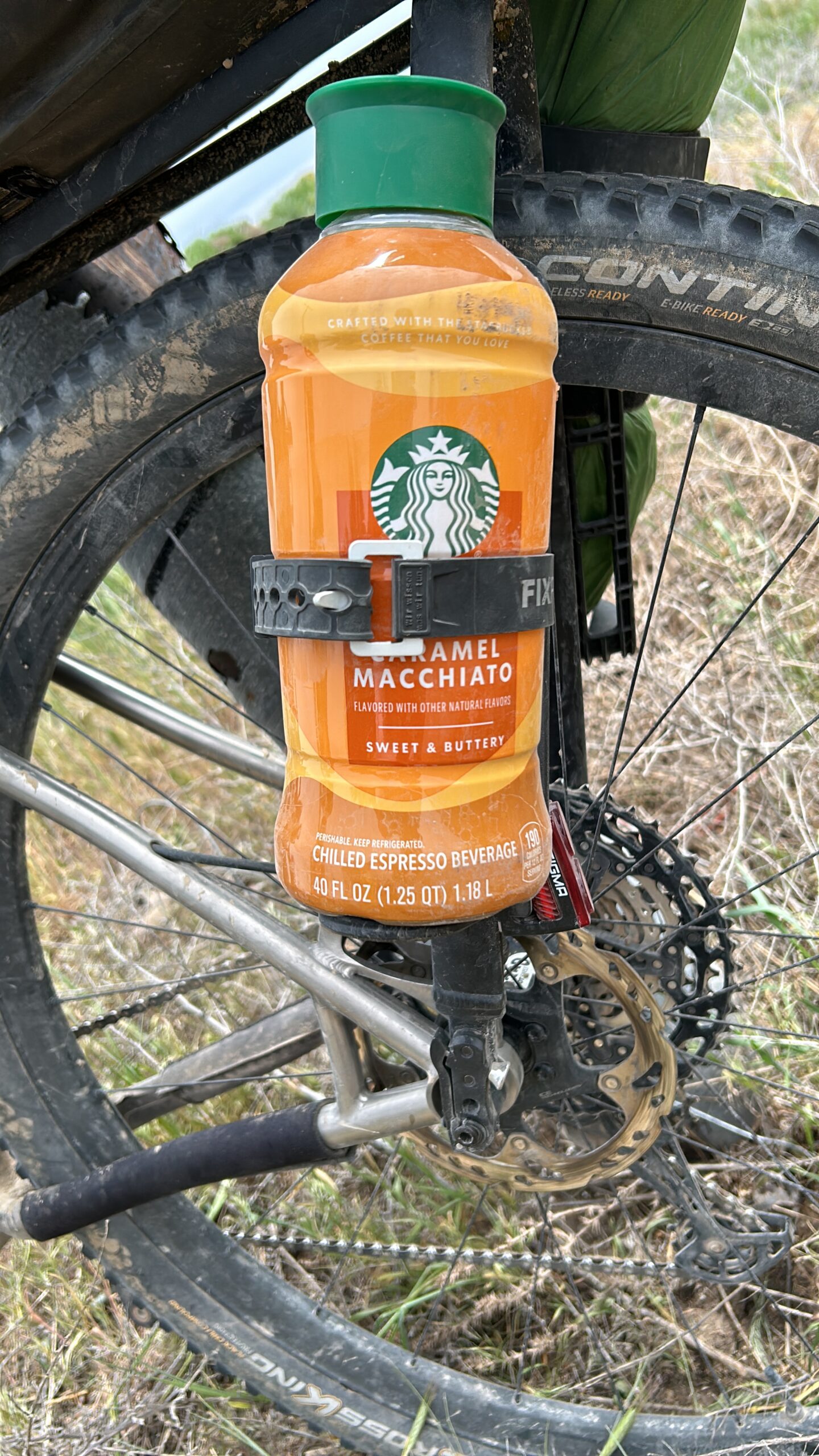
After struggling with a very powerful headwind for three hours we arrived in Blackfoot. Plan was to eat some snacks at the first proper gas station and plan for the required groceries , laundry, shower, and sleep. Unfortunately, there was only one RV park accepting tents, but the showers tequila code which could only be provided during office hours, and it is Sunday. The next town, Arco, was again about 120km, so I proposed to continue 30km to public land, and have a shorter day tomorrow. So we got groceries for the rest of the day and tomorrow morning. And we set off. Unfortunately, it also meant we had to fight the strong headwinds again. The last 10km was also on a difficult gravel road with a lot of pebbles. Quite an effort combined with the headwinds.
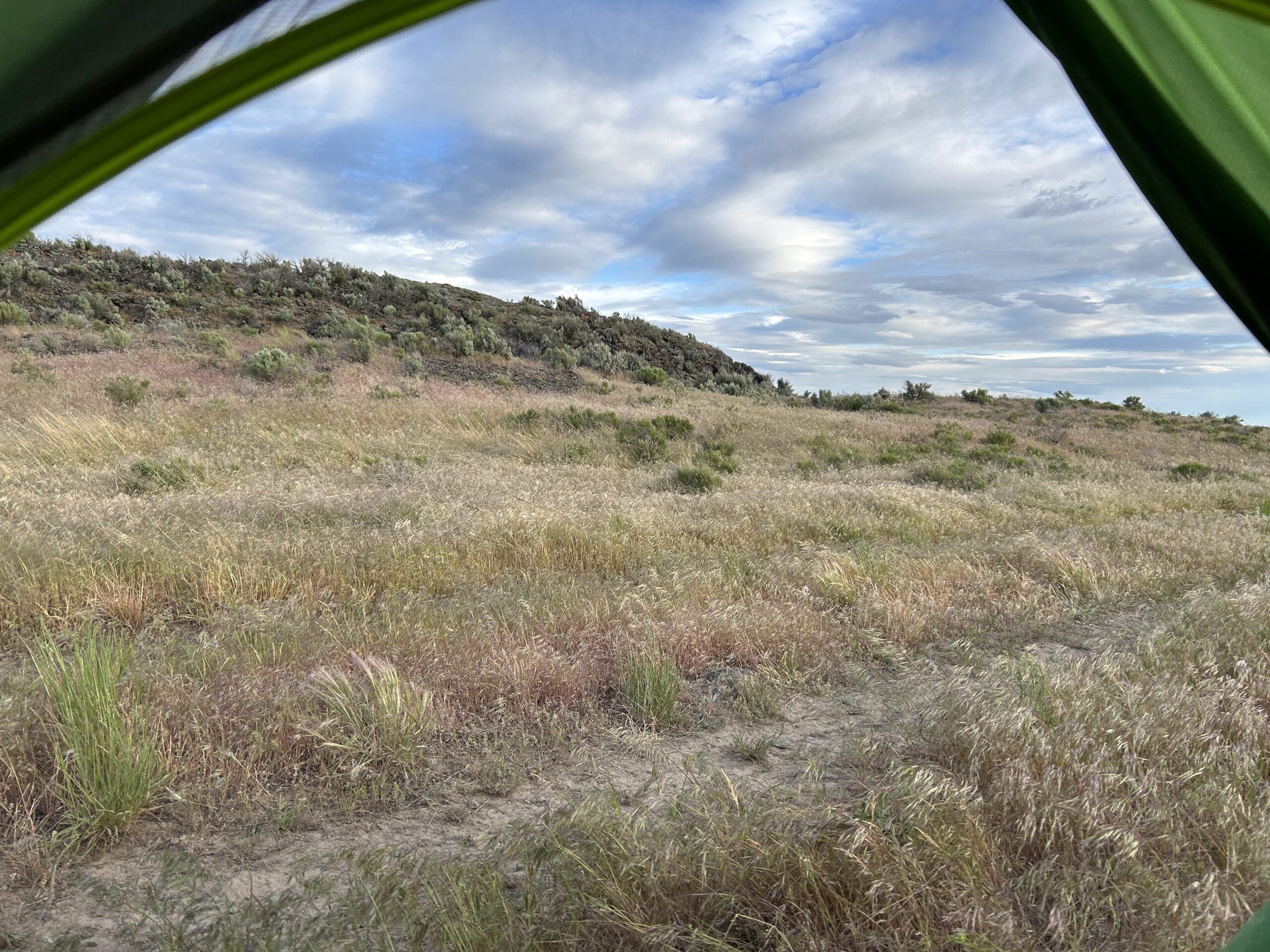
Eventually we reached the public land and started spotting for a suitable place to setup camp. That was easier said than done. It was a sort of hilly, with low grasses, combined with lava-like rocks. Eventually we found a spot, but we did not have much cover against the winds. Fortunately the got less strong around 20:30, I hope it stays like that during the night. So far the wind always stopped in the evening and came back around 9/10 am.
Gallery