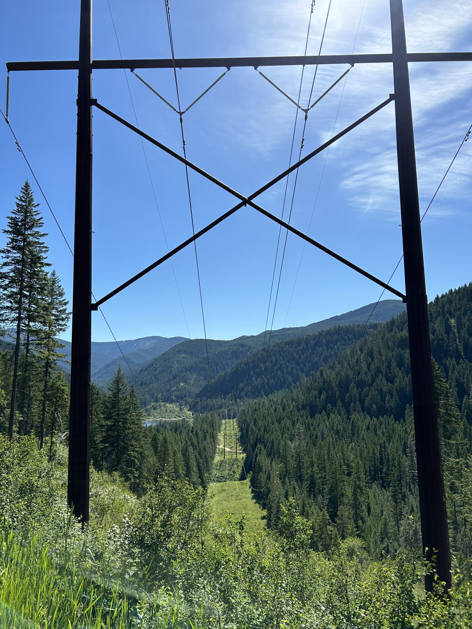
Today we rode from the City Limits RV Park in Wallace to a dispersed campsite at the Noxon Reservoir. We had blue skies all day. We rode a quarter of the distance on a quiet paved road and the other half on non-paved (gravel, double-track, loose sand, etc).
Riding statistics: on Thursday June 13, 2024, the 36th day on the Western Wildlands Route route, it took 10:47h (07:49h moving time), between 07:01 and 17:49, to cover 106 km (66 miles), including 1710 m (5611 ft) elevation gain, with an average speed of 14 km/h (8 mph). During today's ride the average temperature was 21 °C (72 °F) with a minimum of 3 °C (36 °F) and a maximum of 35 °C (100 °F).
Totals: So far, it took 11 days, 3 hours, 16 minutes and 45 seconds of cycling time to cover 3838 km (2385 miles), including 42862 m (140630 ft) elevation gain, with an average speed of 14.6 km/h (9.1 mph).
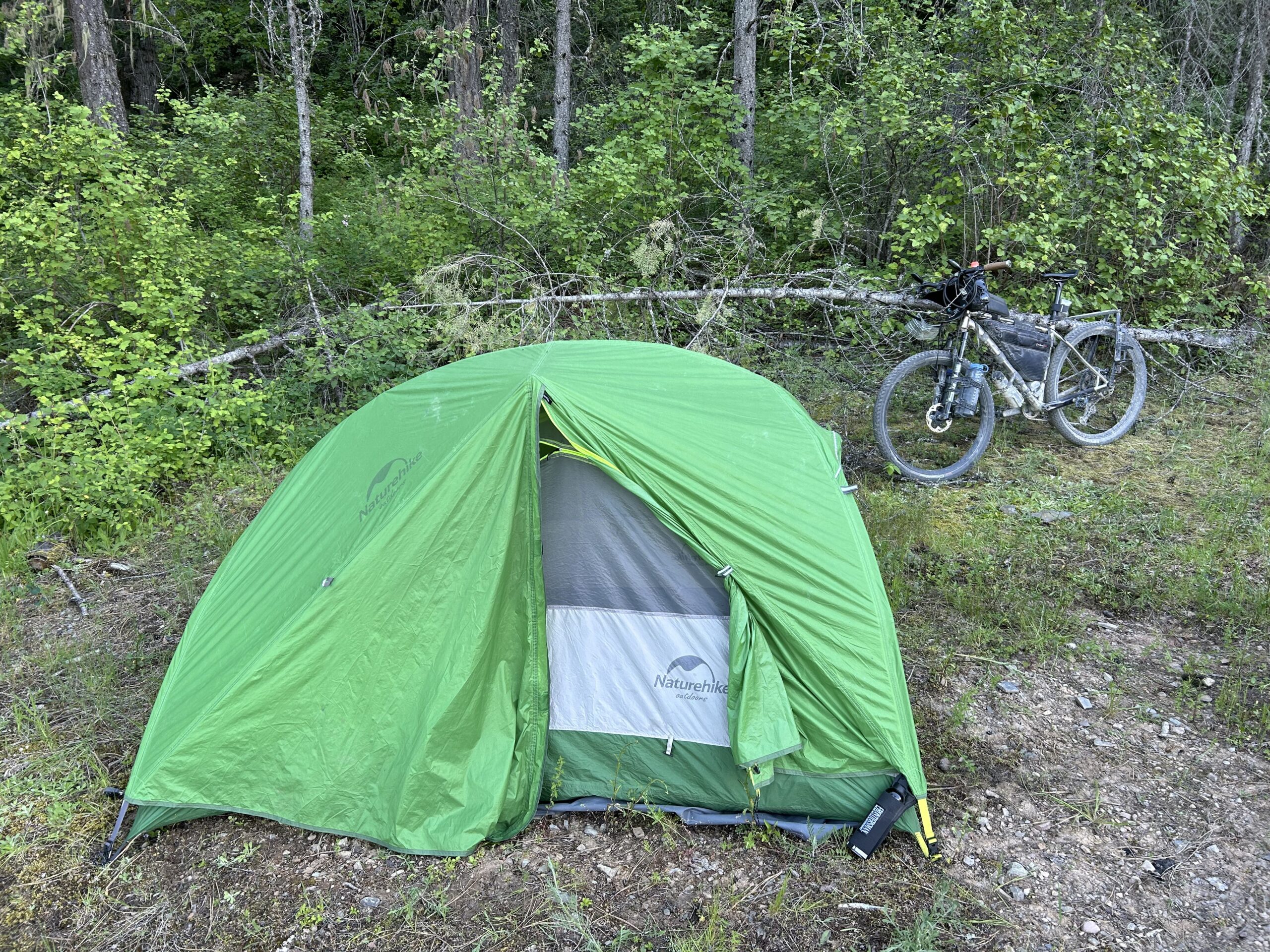
We got up at 5, that is because we have this morning in another timezone. In the afternoon we’ll get back into Montana, and back to the timezone we’re used to. Outside the tent it was chilly. We quickly made everything ready and started the ride.
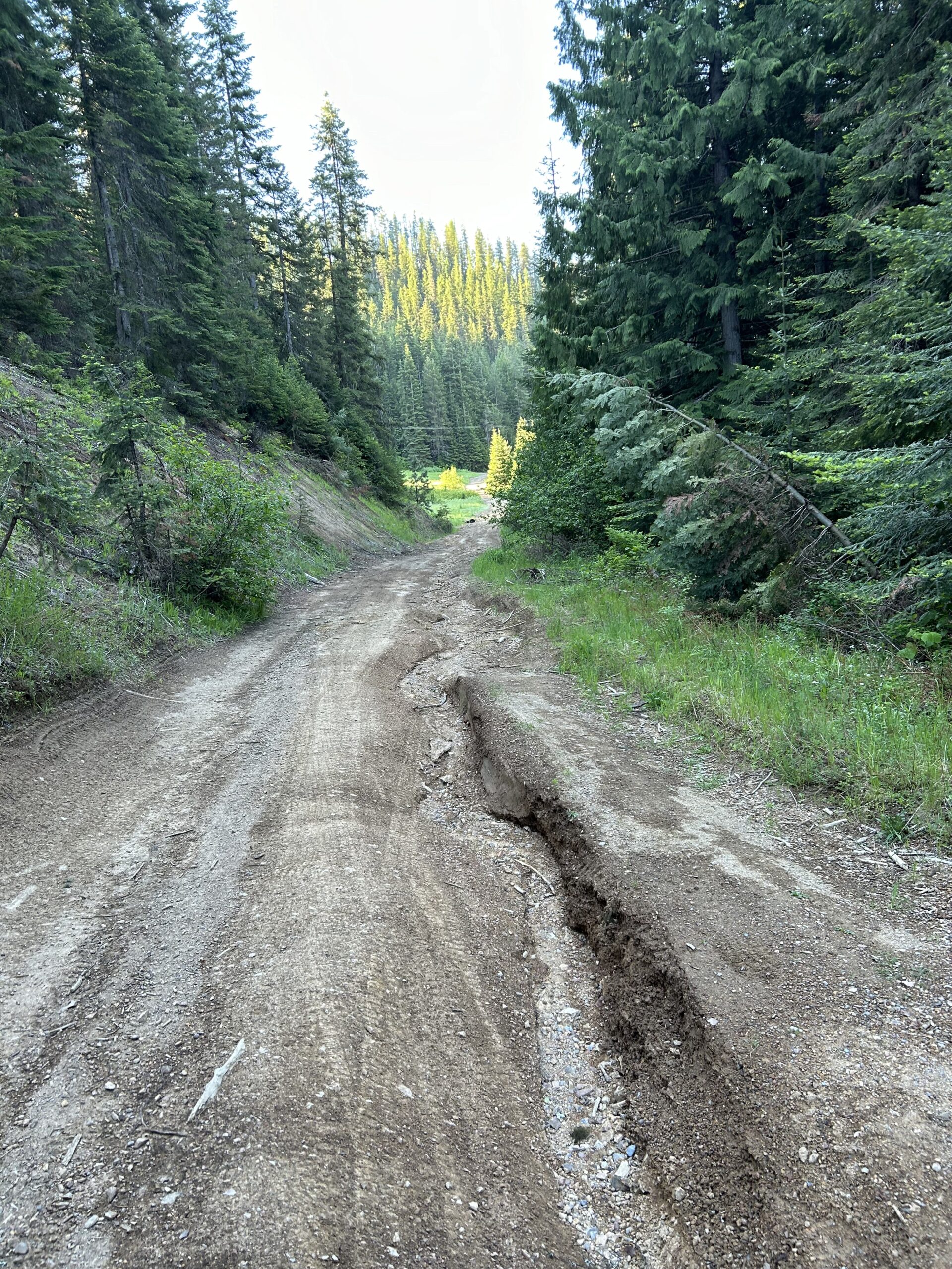
Immediately outside town we could start the first climb of the day. The road was bad because water has been coming down in the past. Careful for the deep tracks. To our surprise the first climb went rather quick, and we were on top of the pas sooner than we expected.
At the top non-paved changed into paved. We took our jackets because downhill can be cold. I kept my speed down because my tires definitely have seen better times. Don’t want to risk a stupid fall or something.
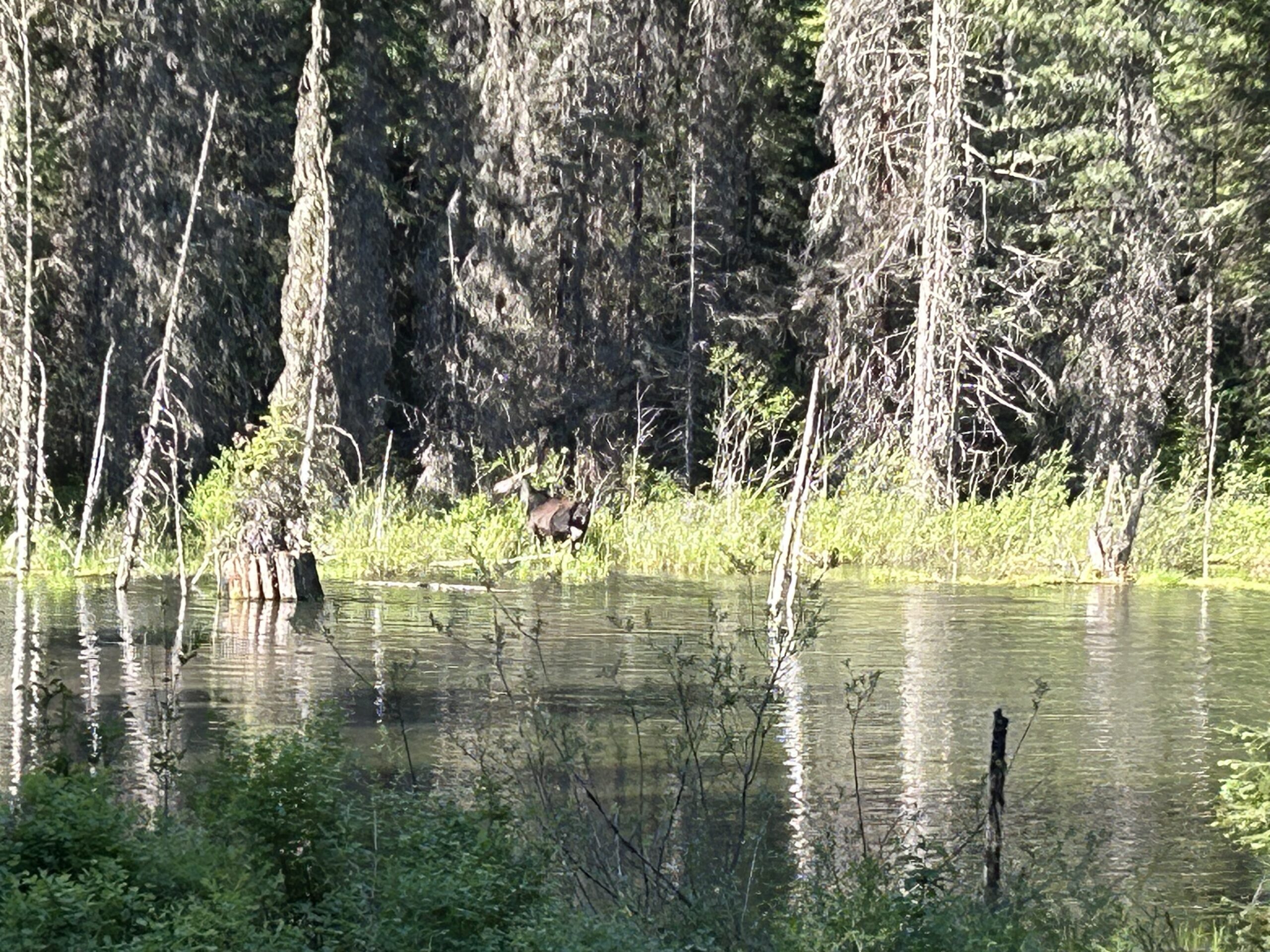
When we finished the downhill we continued on the paved road. It was really quiet. At a certain moment we passed a pond and it looked amazing with all the green around it. But wait, there is a mama moose and a baby moose in the water. I stopped and went back. Unfortunately mom already heard us stopping and they walked to the other side of the pond to get into the forest. Of course my phone camera didn’t want to work immediately with my bike gloves. This is the third day in a row that we have seen moose. We continued on this nice road and ran into a man walking at the road side. It was Greg and he lived there. We had a nice conversation with Greg before continuing.
At a certain moment we saw a few buildings and tonour surprise there was a food truck and gas station. Totally unexpected. I bought a strawberry and peach smoothie. They also had wraps, sandwiches, burritos, and more. But we already had food for the day. We also had a nice conversation with the people working at the food truck.
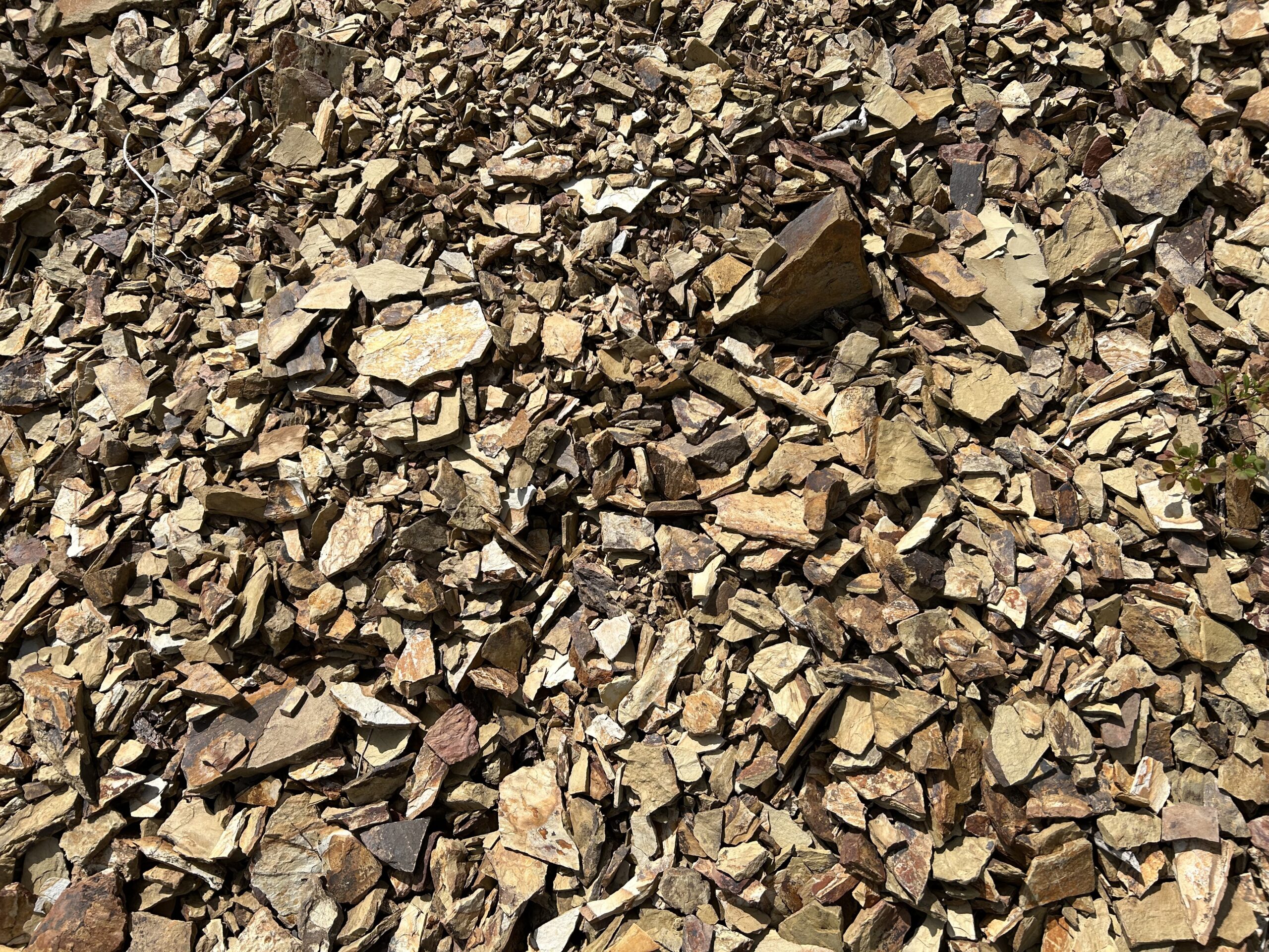
Again, we continued our ride. Saw quite a few men fly fishing in the rivers. At a certain moment there was a sign Porcupine Pass 14 miles. That is where our main climb of the day started, 22km long. We needed to climb 700m in elevation. Not super steep, but the road surfaces varied between good and bad, with sharp loose rocks. It took.a while, but of course we made it to the top. Just before the top that have been grading the road. With a big machine they shave a bit of the surface of the road. For us cyclists this isn’t really good news. Everything gets loose, sand, rocks, sticks, etc. A hard packed road, albeit uneven, rides so much better. So, a slower downhill it was. Eventually the road surface became better.
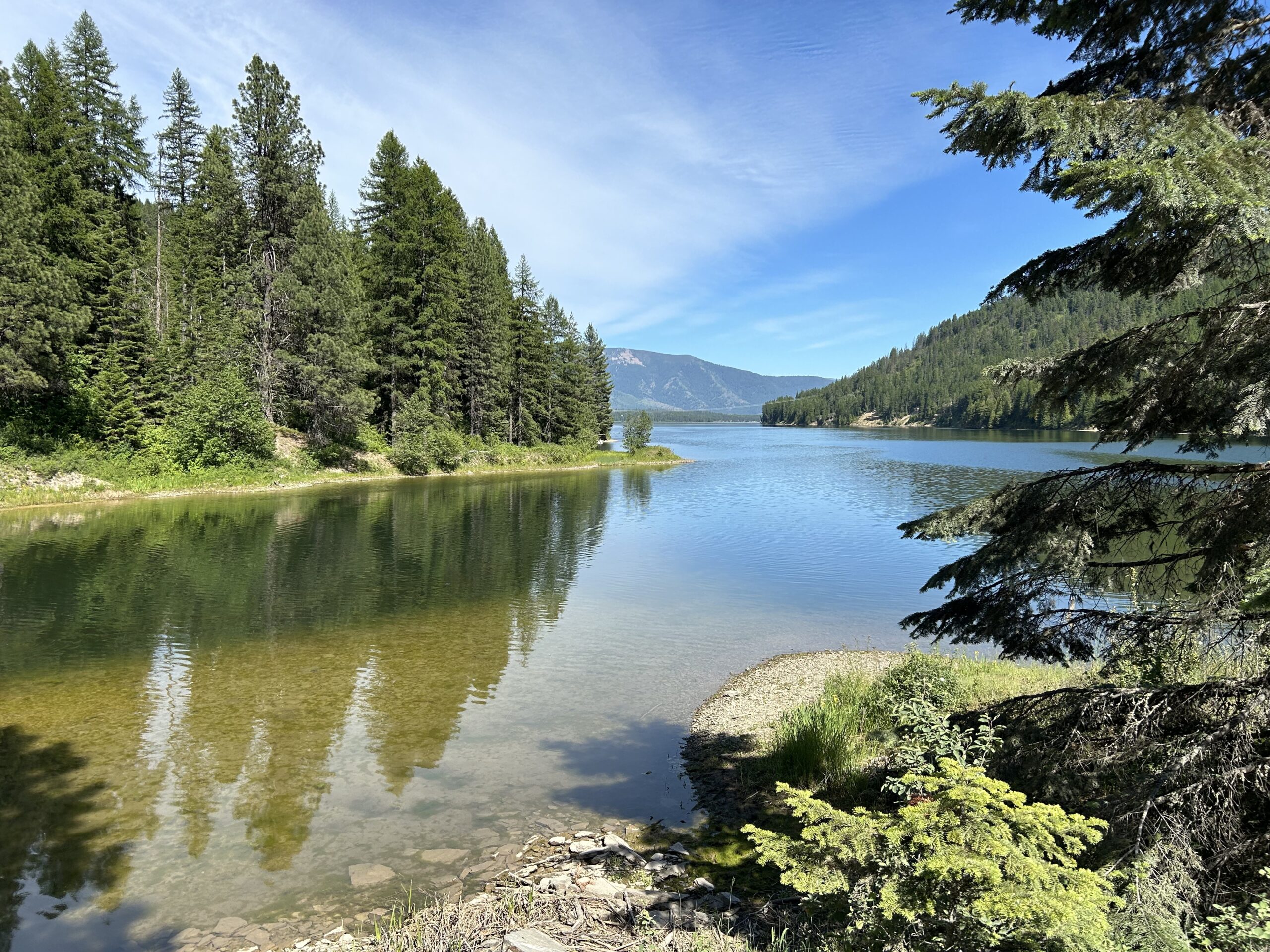
After a while we arrived at the Noxon Reservoir. There was a campsite at the site where we arrived. But in our route notes I found a remark about more campsites after another climb (5km, +200m). That was the destination for today. Unfortunately, when arriving at the GPS market, there was nothing. Someone made a mistake when adding this to the notes. We did not want to go back, same climb, and then tomorrow again. So we found a suitable location for another dispersed camping session.
Gallery