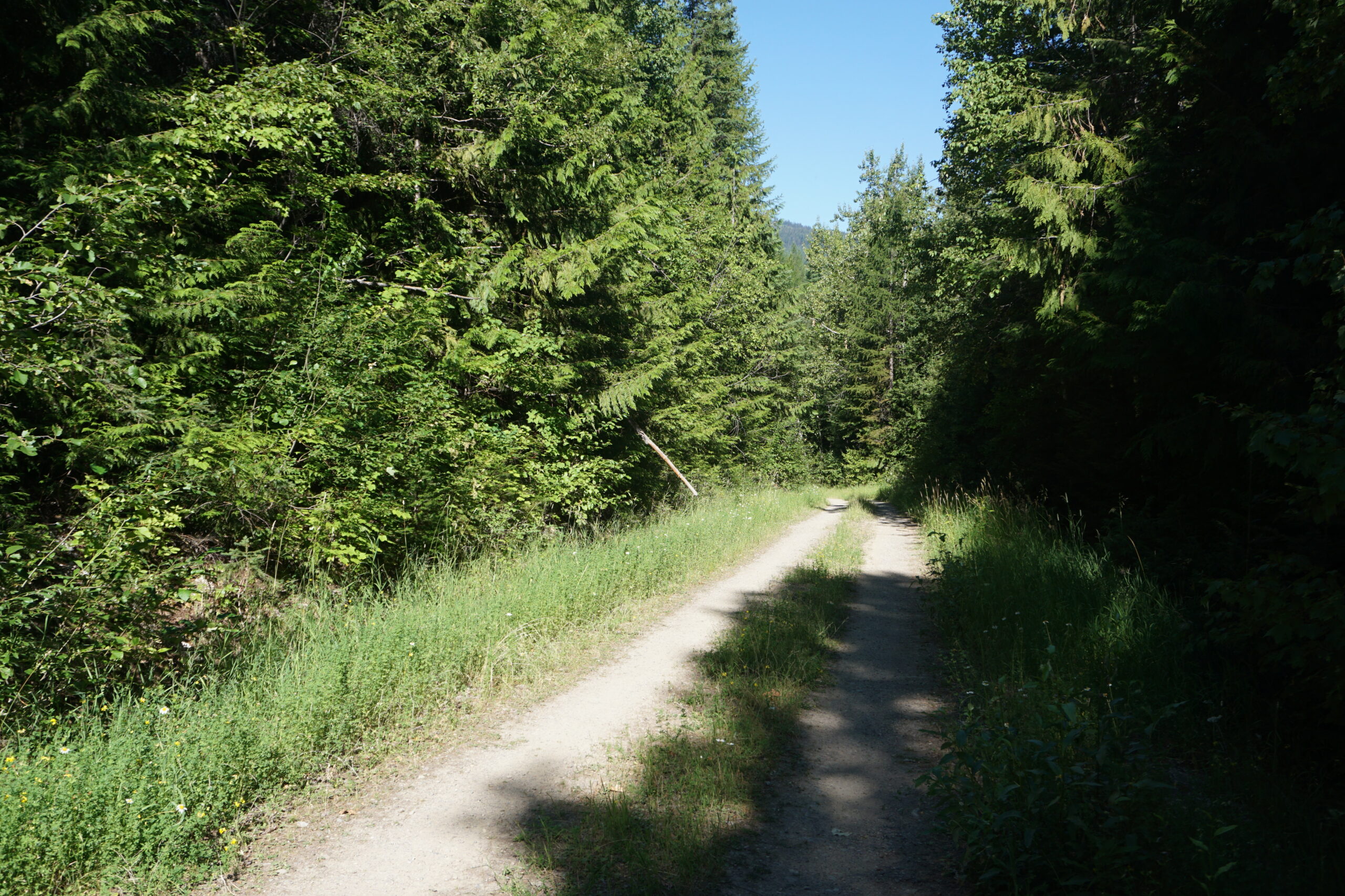
Today we rode from a dispersed campsite, Montana, US to Big Larch Campground at Seeley Lake, Montana, US. Very sunny weather again with little to no clouds. Road conditions included much gravel roads, some jeep tracks, some paved roads, and some single track. Highlights of the day include getting out of a long forest road and see the mountain scenery again, and a single track downhill near the edge of the mountain.
Riding statistics: on Tuesday August 9, 2022, the 9th day on the Great Divide Mountain Bike Route route, it took 09:58h (07:39h moving time), between 08:02 and 18:01, to cover 108 km (67 miles), including 1483 m (4866 ft) elevation gain, with an average speed of 14 km/h (9 mph). During today's ride the average temperature was 30 °C (90 °F) with a minimum of 11 °C (52 °F) and a maximum of 48 °C (126 °F).
Totals: So far, it took 2 days, 10 hours, 53 minutes and 12 seconds of cycling time to cover 838 km (521 miles), including 9857 m (32341 ft) elevation gain, with an average speed of 14.4 km/h (9 mph).
Leaving our dispersed campsite
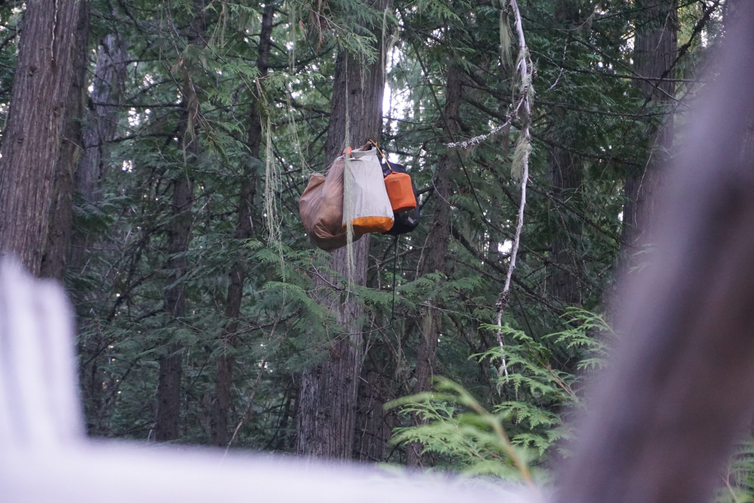
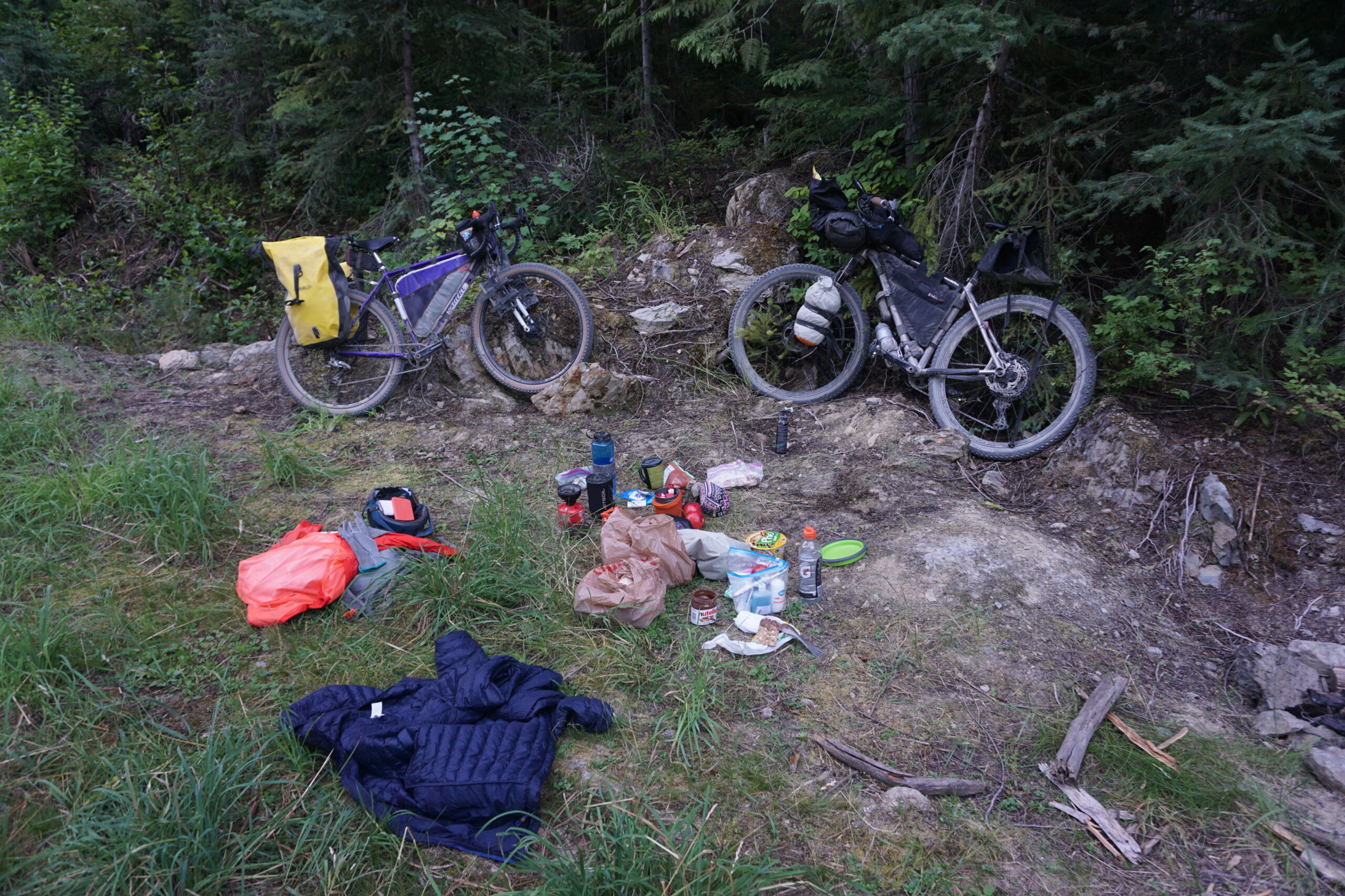
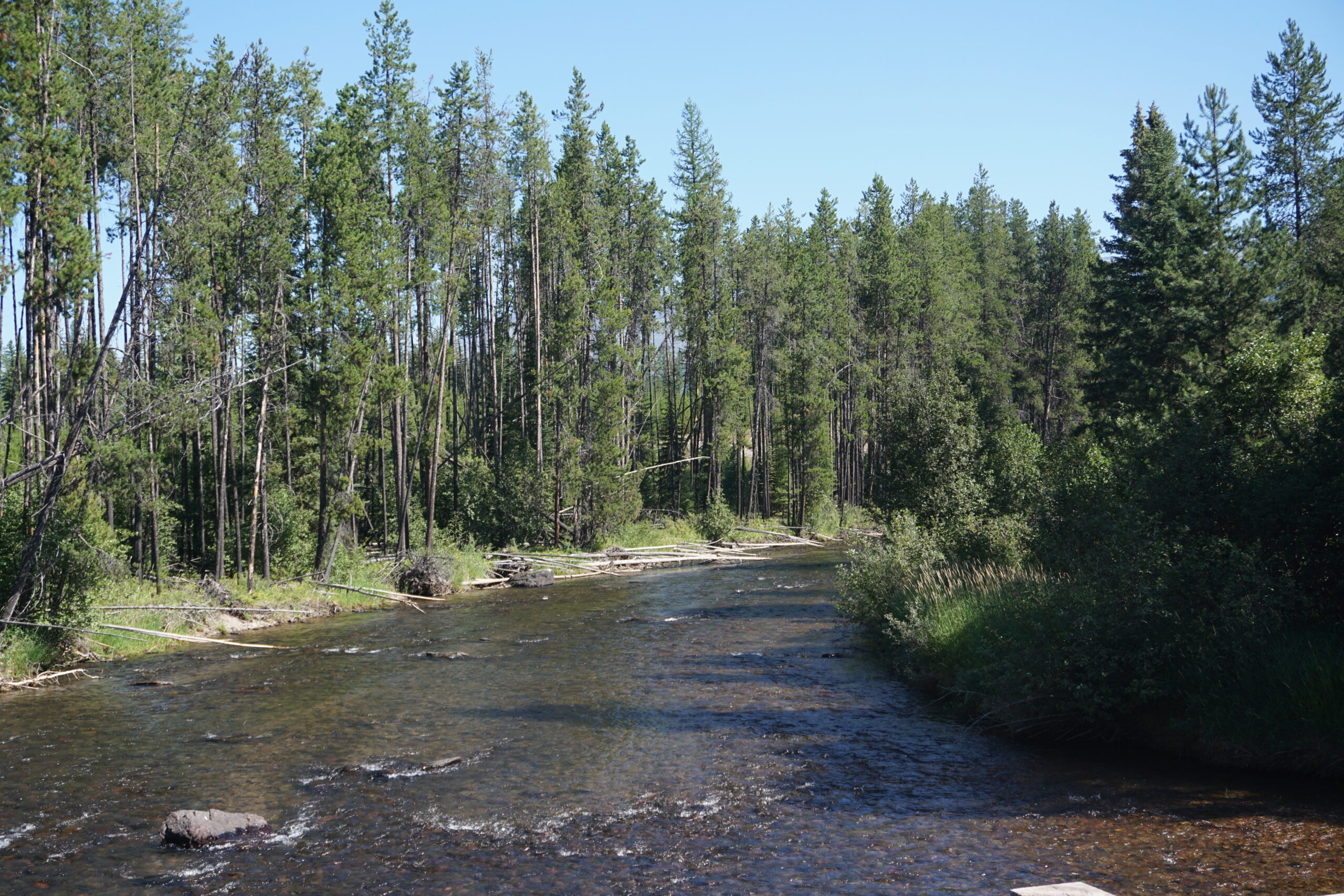
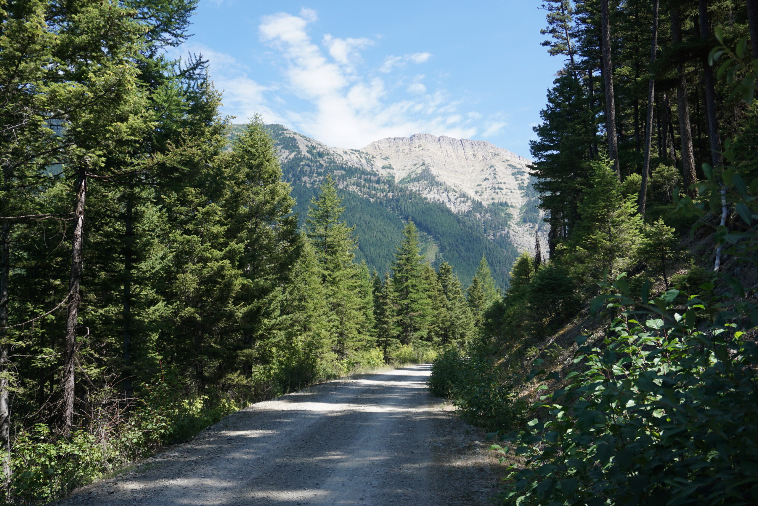
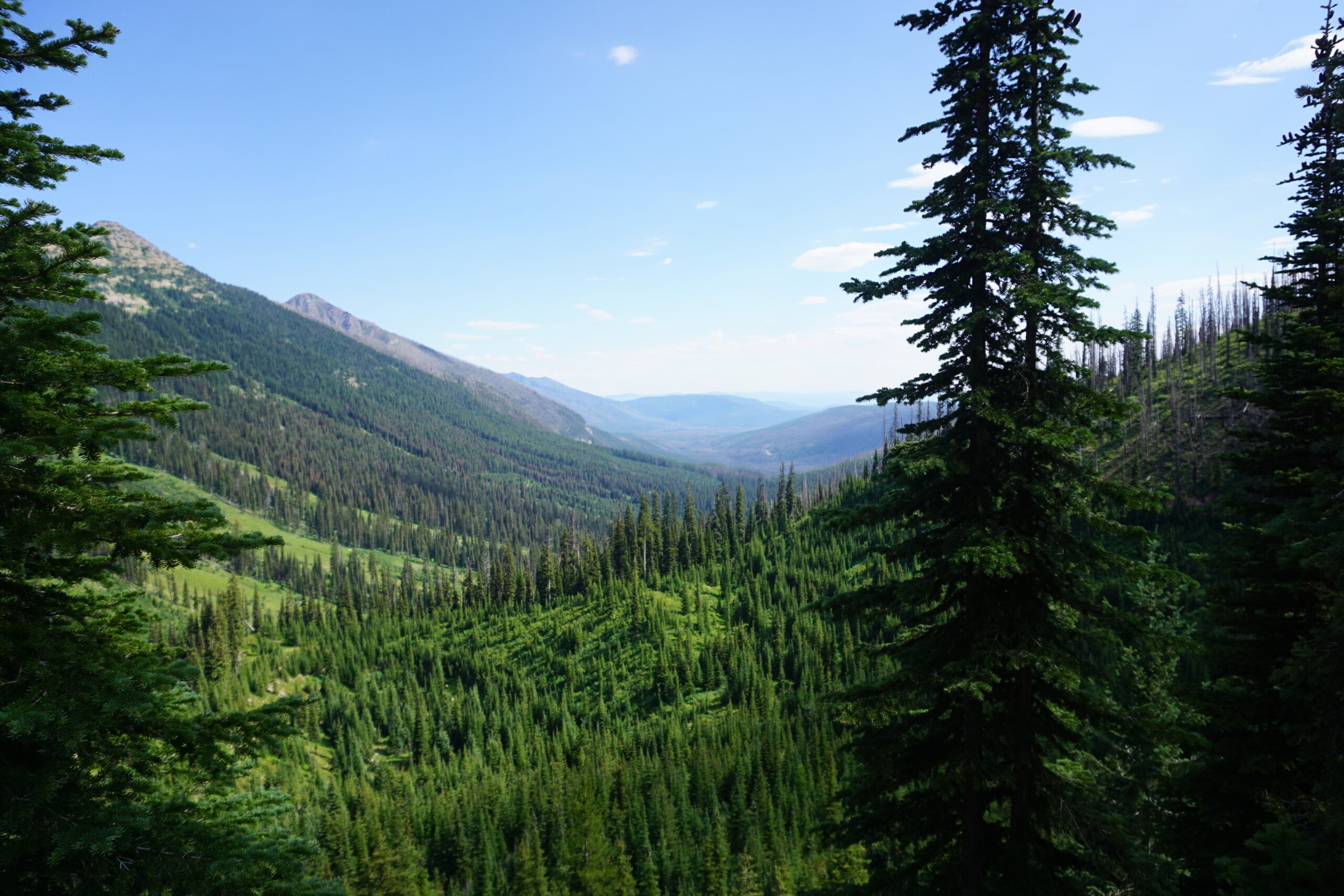
We woke around 06:30 and started to pack our things. We both slept well, despite being nervous when going into our tents for the bear territory. It was very remote, and you should be extra bear aware. We expected a cold night at this high altitude but it has been a warm night. Also the morning was warm already. We packed our tents, got our food from the tree we hung it in, ate some breakfast, packed our bikes, and left. Since we slept to the side of this small gravel road we did not need to ride back to the route. The scenery was beautiful, we rode in the sun and enjoyed a nice downhill since we rode up a hill before camping. All morning we have been riding this gravel road and eventually we started to see more of humans, such as fences, eventually electricity poles, and then even houses. When leaving the gravel road we saw traffic again. It did not take long, only 2km before we got onto another gravel road.
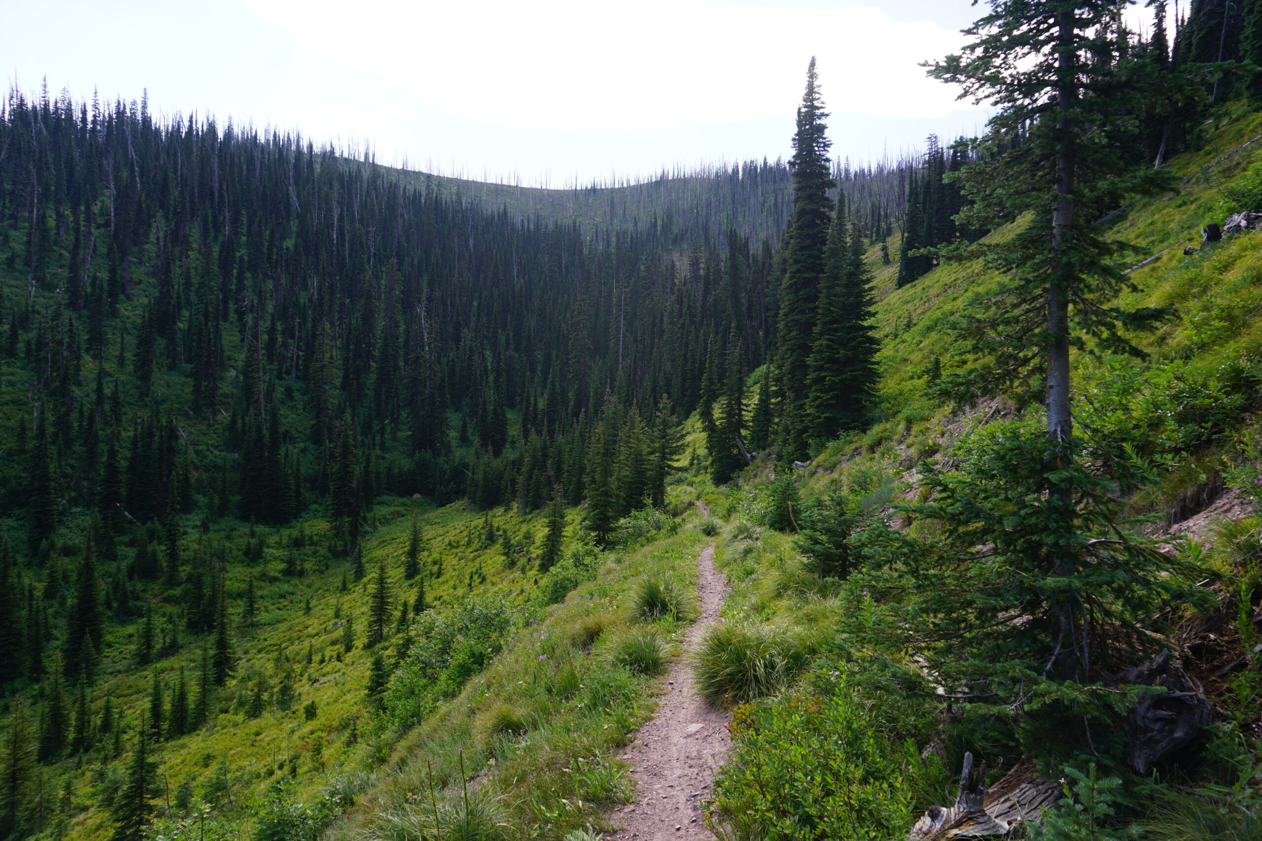
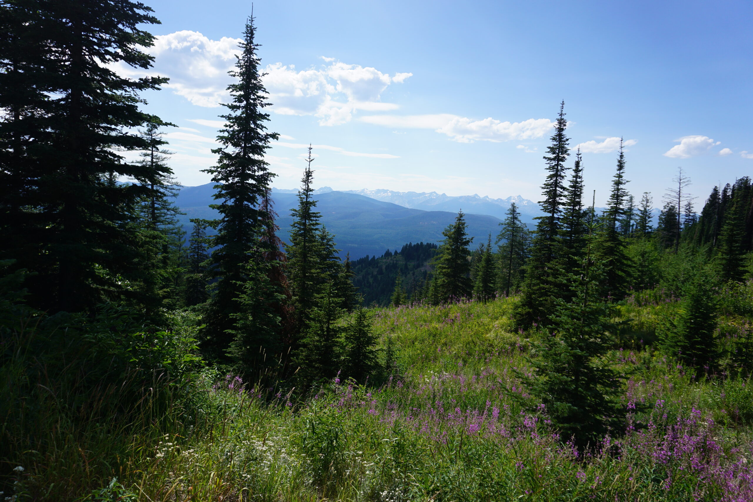
Climbing a 6.000ft mountain pass
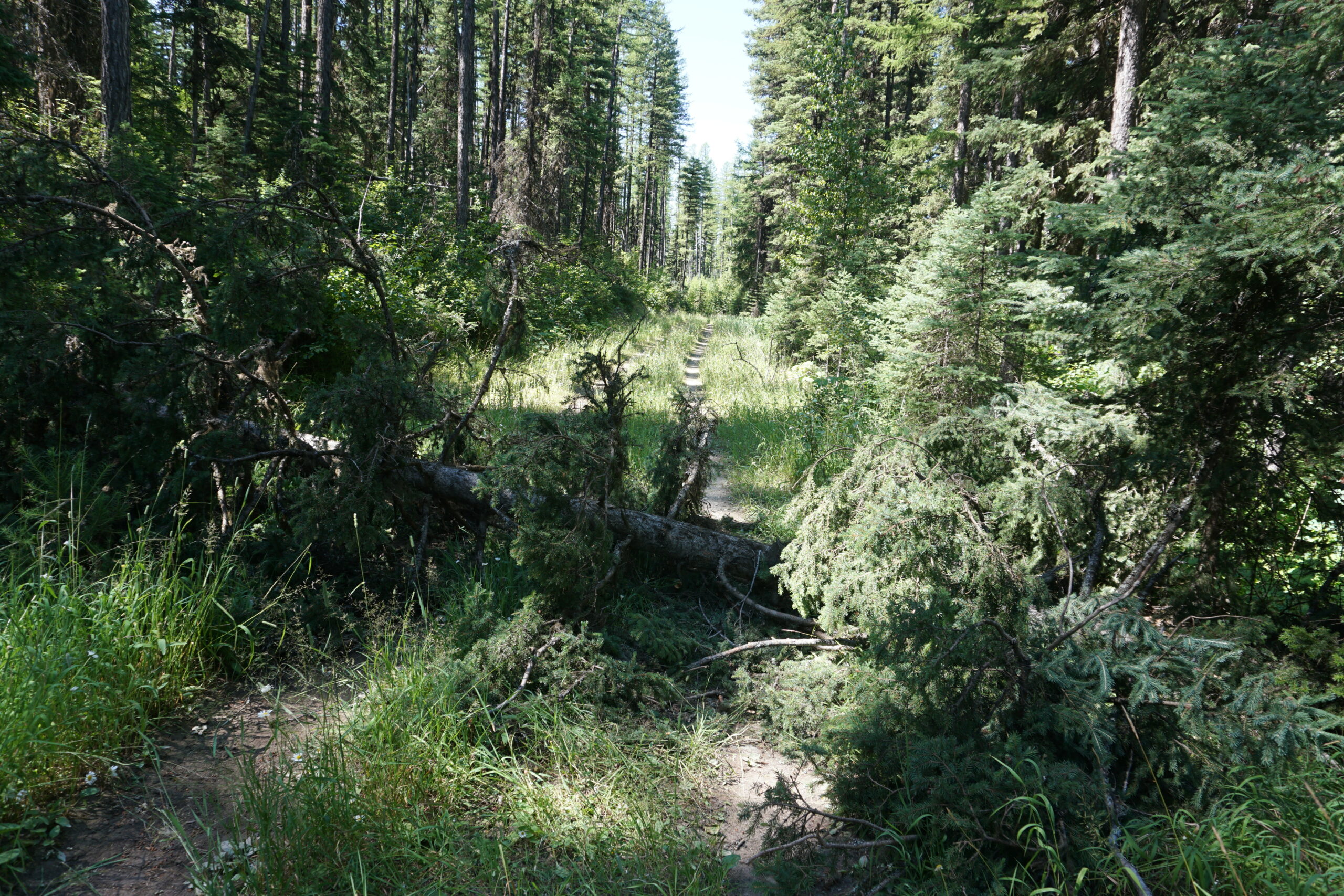
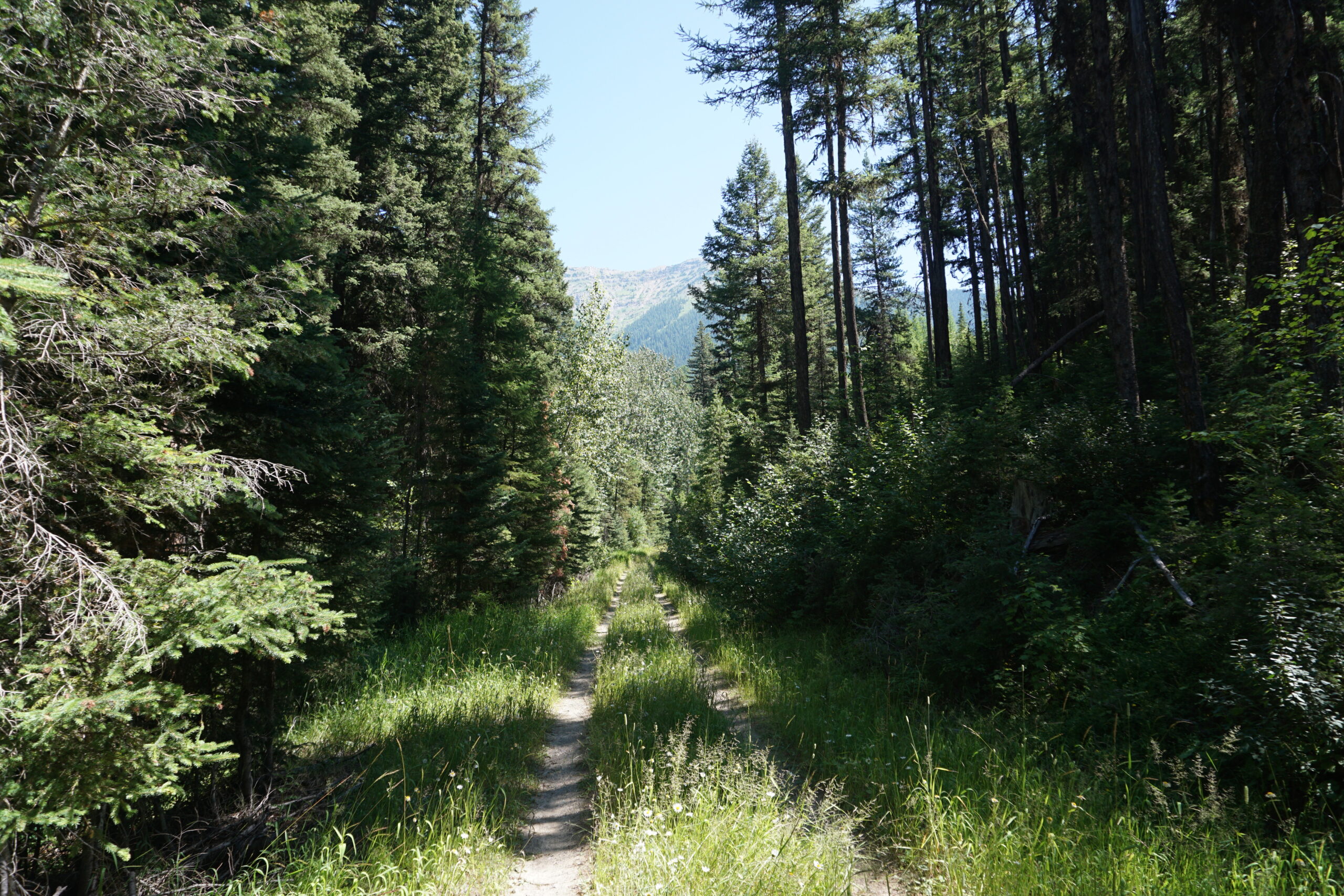
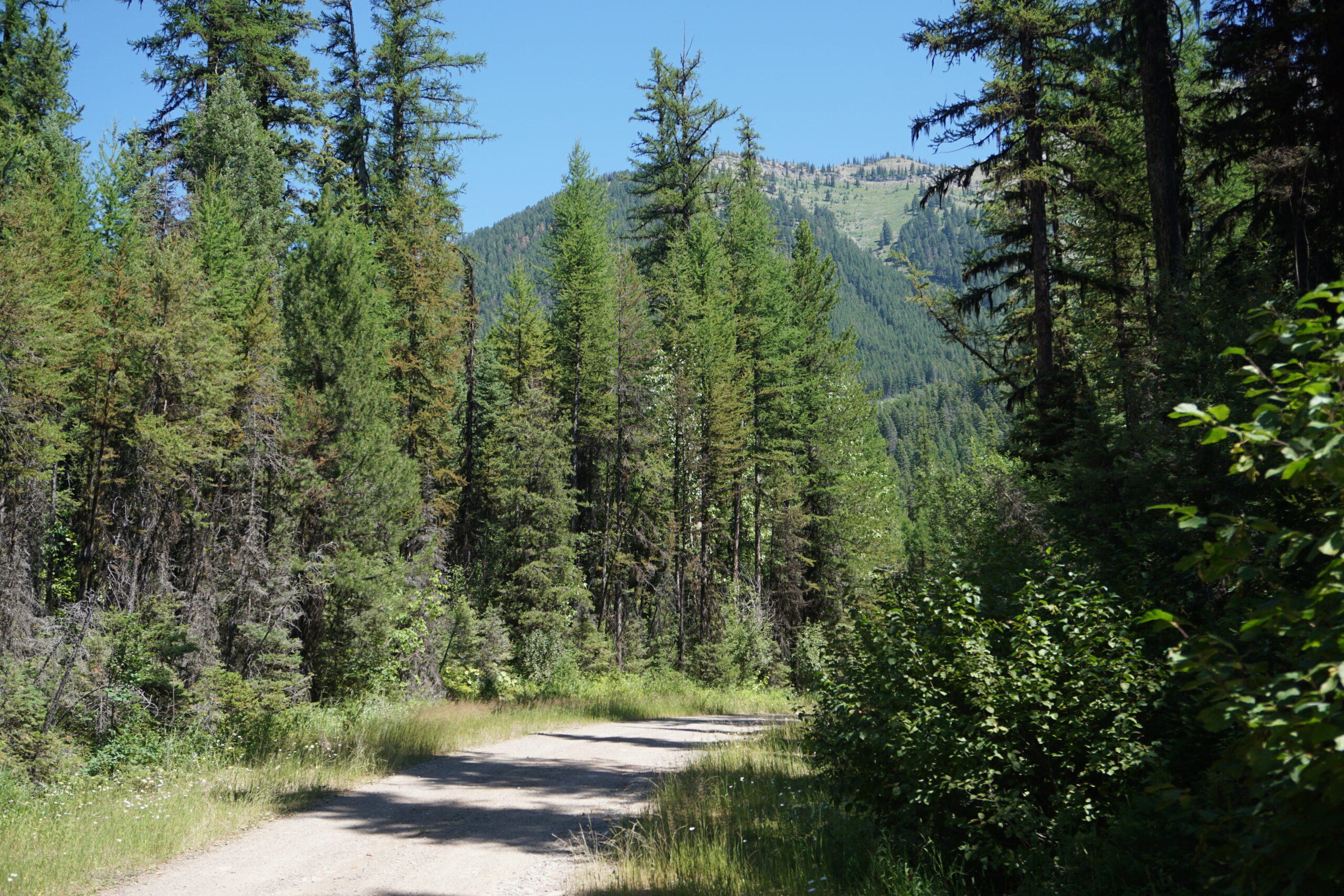
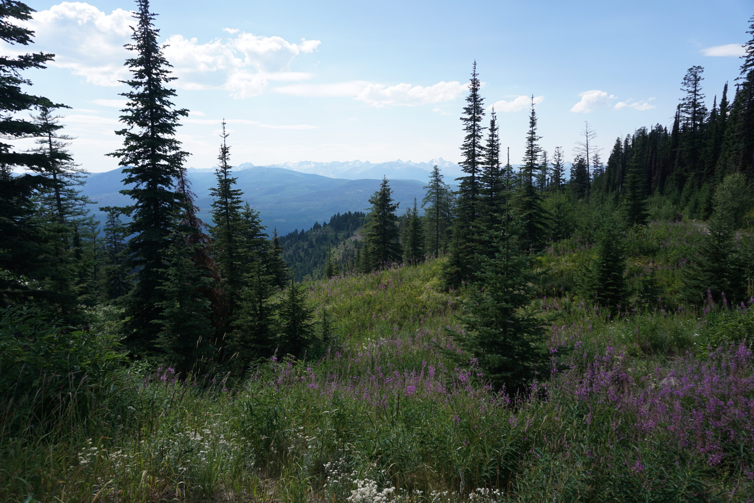
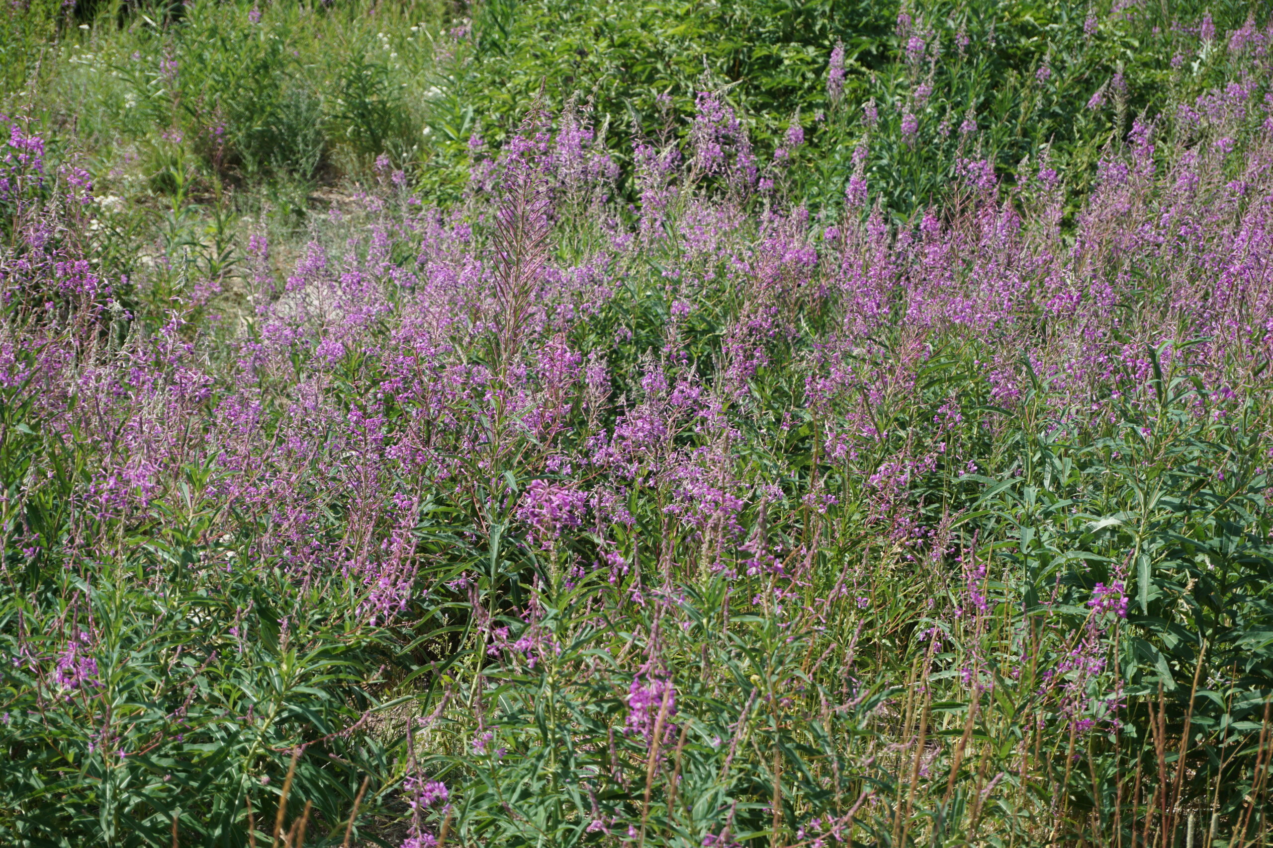
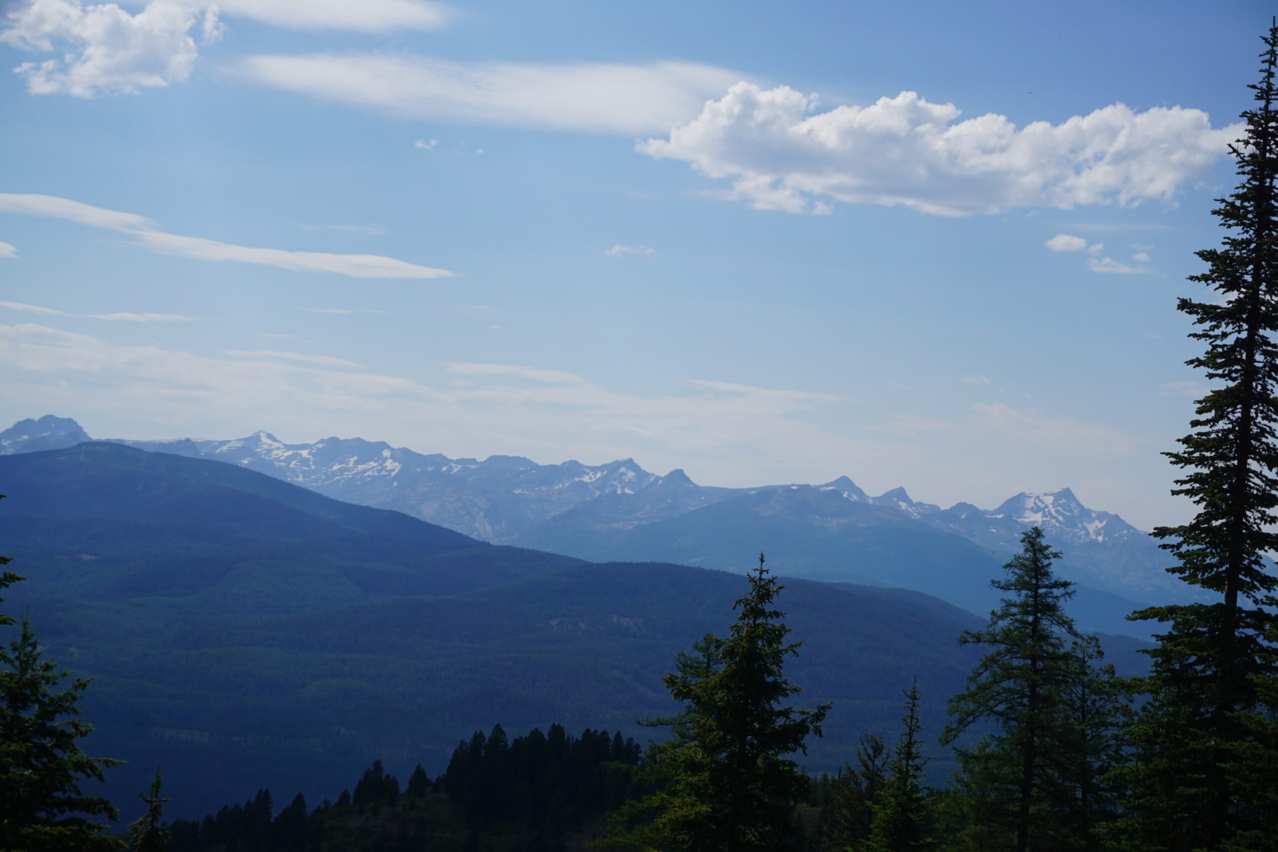
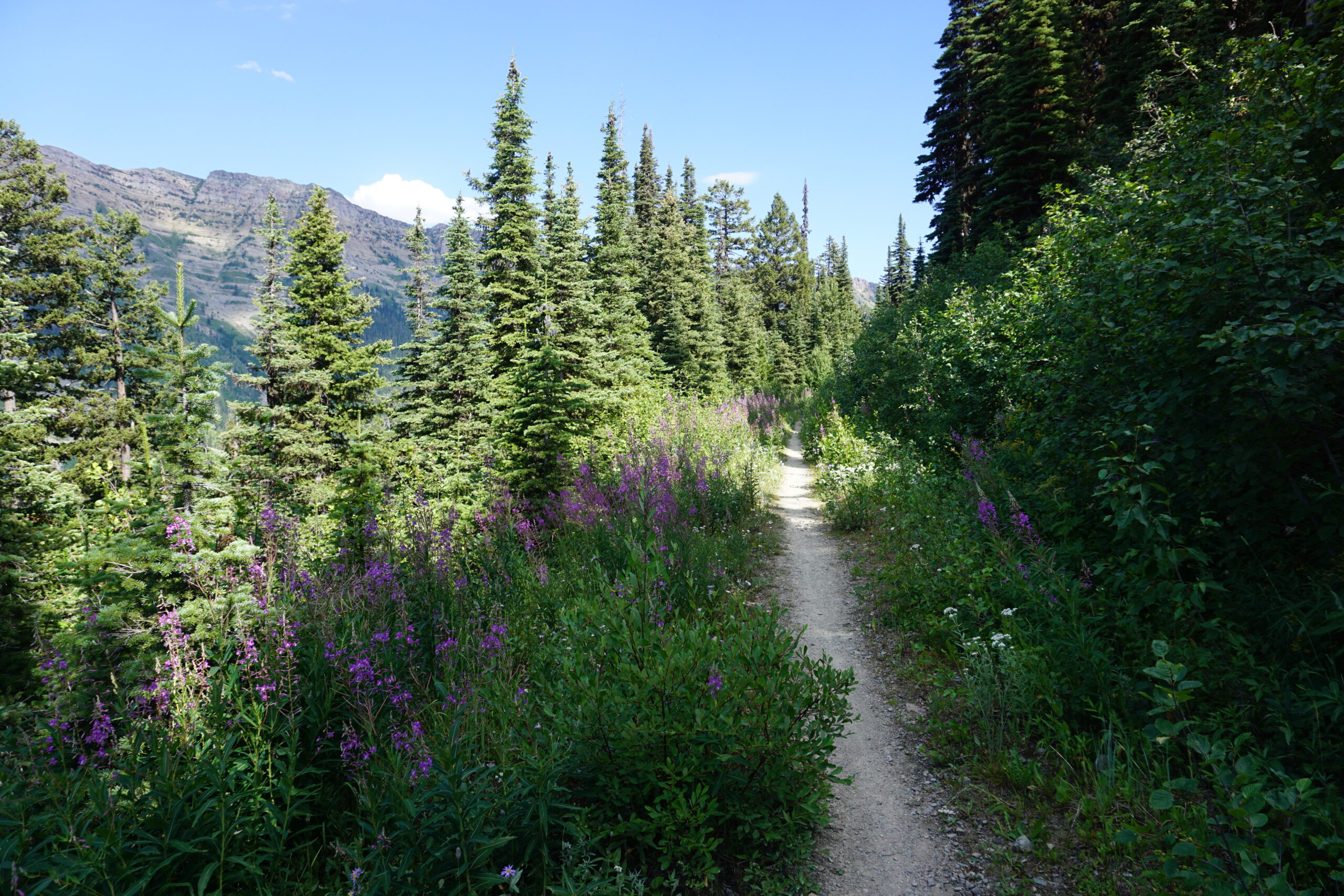
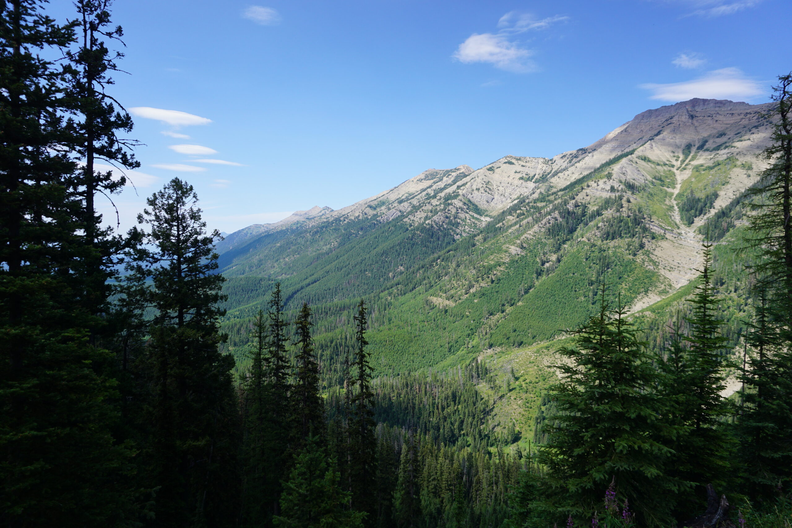
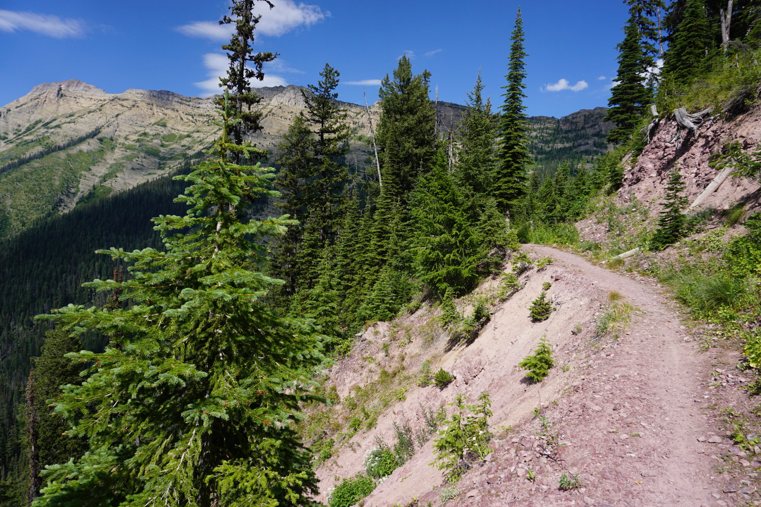
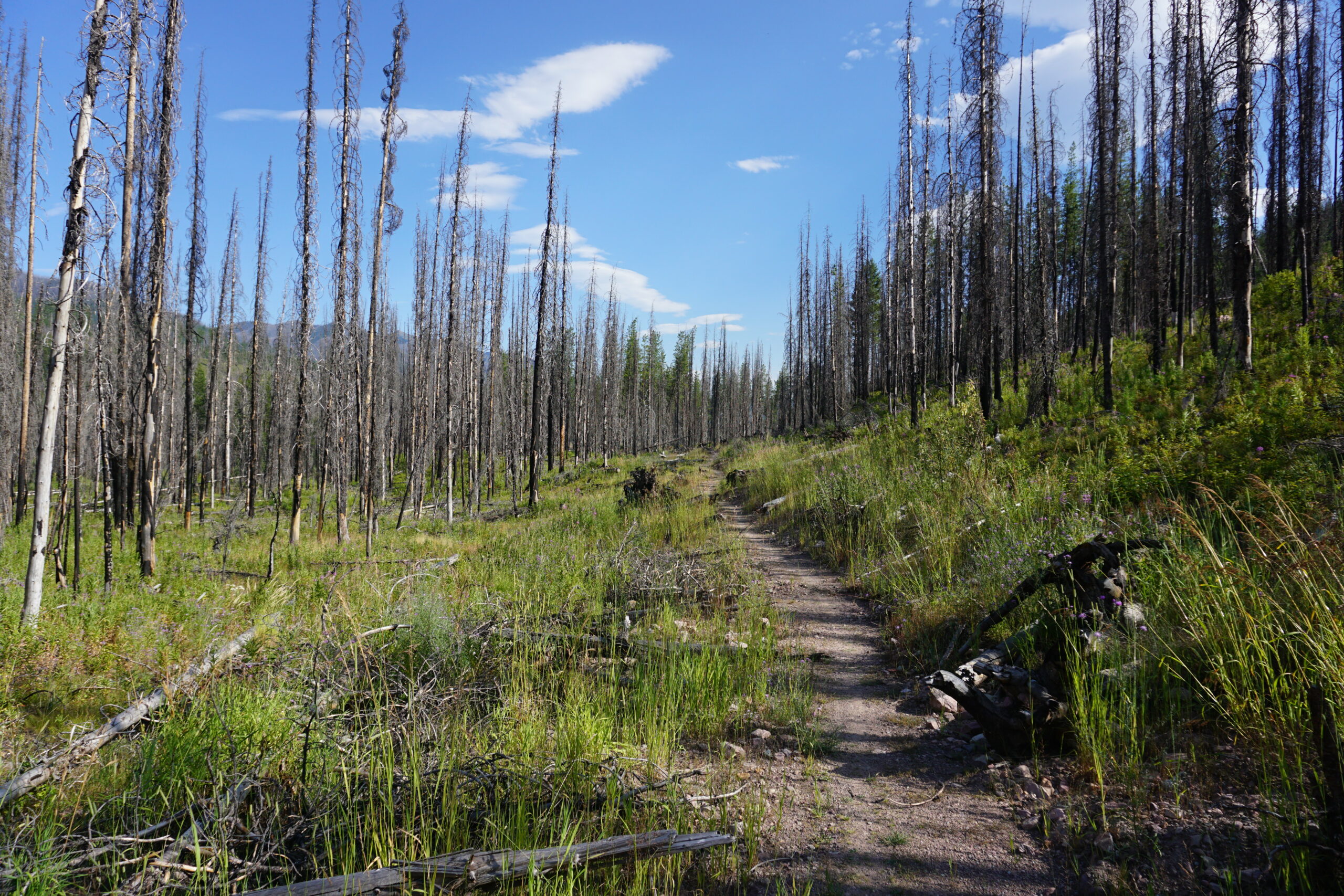
This gravel road would bring us to a unnamed pass with an elevation of 6.000 ft. Unfortunately we started climbing it just after 2pm, a very hot moment in the day. It took us little over two hours with several brakes, and some water filtering included. Just before the top, the road changed into a single track. We had 2km with additional elevation, after that the single track become downhill. A nice downhill. But we had to be very careful. 1) It was at an edge of the mountain, a mistake and we could slide down for a long way, and 2) we had to yell a lot for warning the bears since there was also dense vegetation. The downhill was lots of fun. Eventually we were back on a gravel road for some faster downhill. However, it took not very long before the gravel road turned into a single track again. Here we had to be careful for cut down trees, with still sharp and broken tree branches close to the track, (deep) ditches for water streams, etc.
Seeley Lake
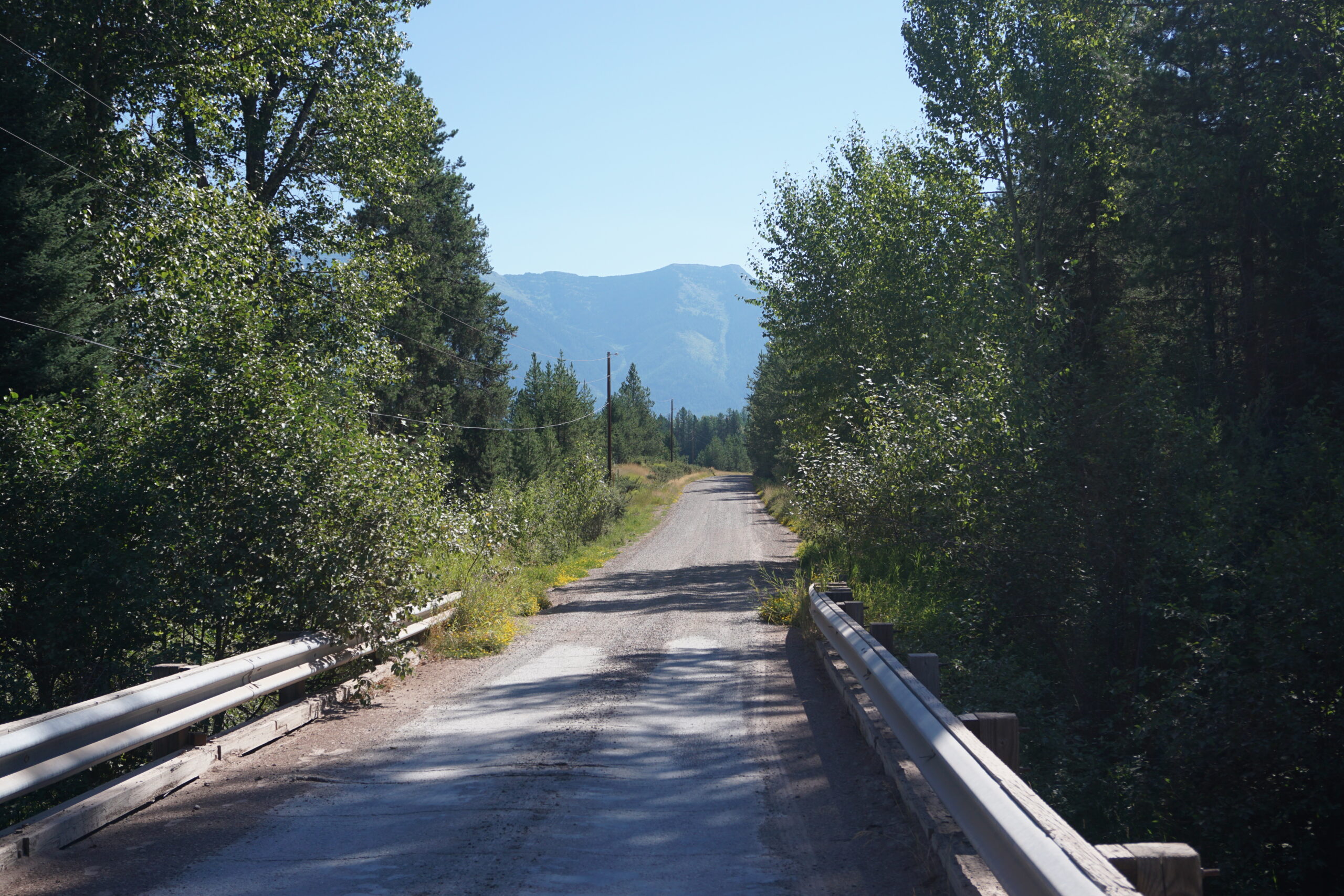
After several kilometers of more (nice) gravel road we could take a turnoff to Seeley Lake, which is a slightly off course, but has some services available. We got ourselves a campsite at the Big Larch Campground, pitched our tents, and went out for groceries and a pizza. Not long after, we went into our tents to enjoy a well deserved night of rest.
Gallery

Wat een avontuur, vooral vanwege de beren. Ik ben erg benieuwd naar de foto’s.
Moet ook lachen om die pot Nutella die je mee zeult, haha.
En nog niet één lekke band gehad? Da’s al bijzonder…