Today we rode from Colter Bay, Wyoming, US to an informal campground at the base of the climb to Union Pass, Wyoming, US. Sunny weather with little clouds, later changing into rain and thunderstorms (our first real rain). Road conditions included paved roads, and different gravel roads. Highlights of the day include the Tetons!
Riding statistics: on Friday August 19, 2022, the 19th day on the Great Divide Mountain Bike Route route, it took 10:24h (07:18h moving time), between 08:52 and 19:16, to cover 104 km (65 miles), including 1566 m (5138 ft) elevation gain, with an average speed of 14 km/h (9 mph). During today's ride the average temperature was 24 °C (78 °F) with a minimum of 8 °C (46 °F) and a maximum of 48 °C (126 °F).
Totals: So far, it took 5 days, 11 hours, 2 minutes and 23 seconds of cycling time to cover 1896 km (1178 miles), including 22835 m (74922 ft) elevation gain, with an average speed of 14.7 km/h (9.2 mph).
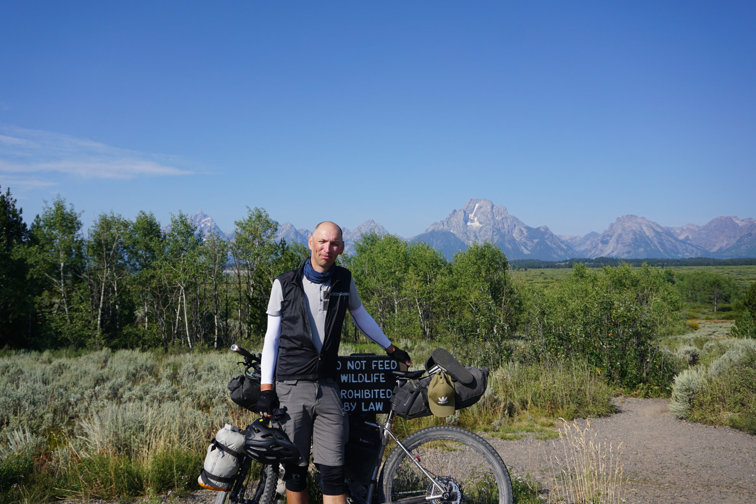
Leaving Colter Bay
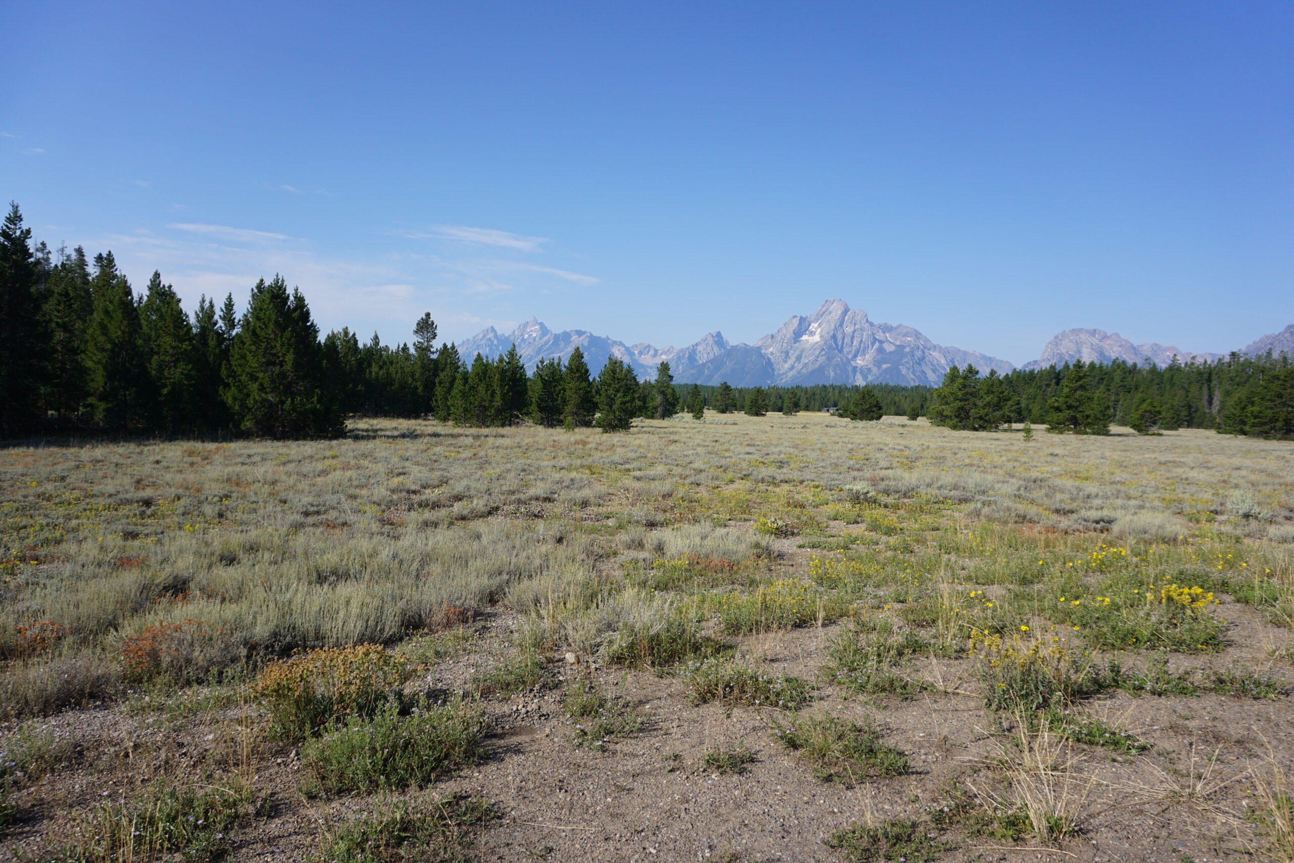
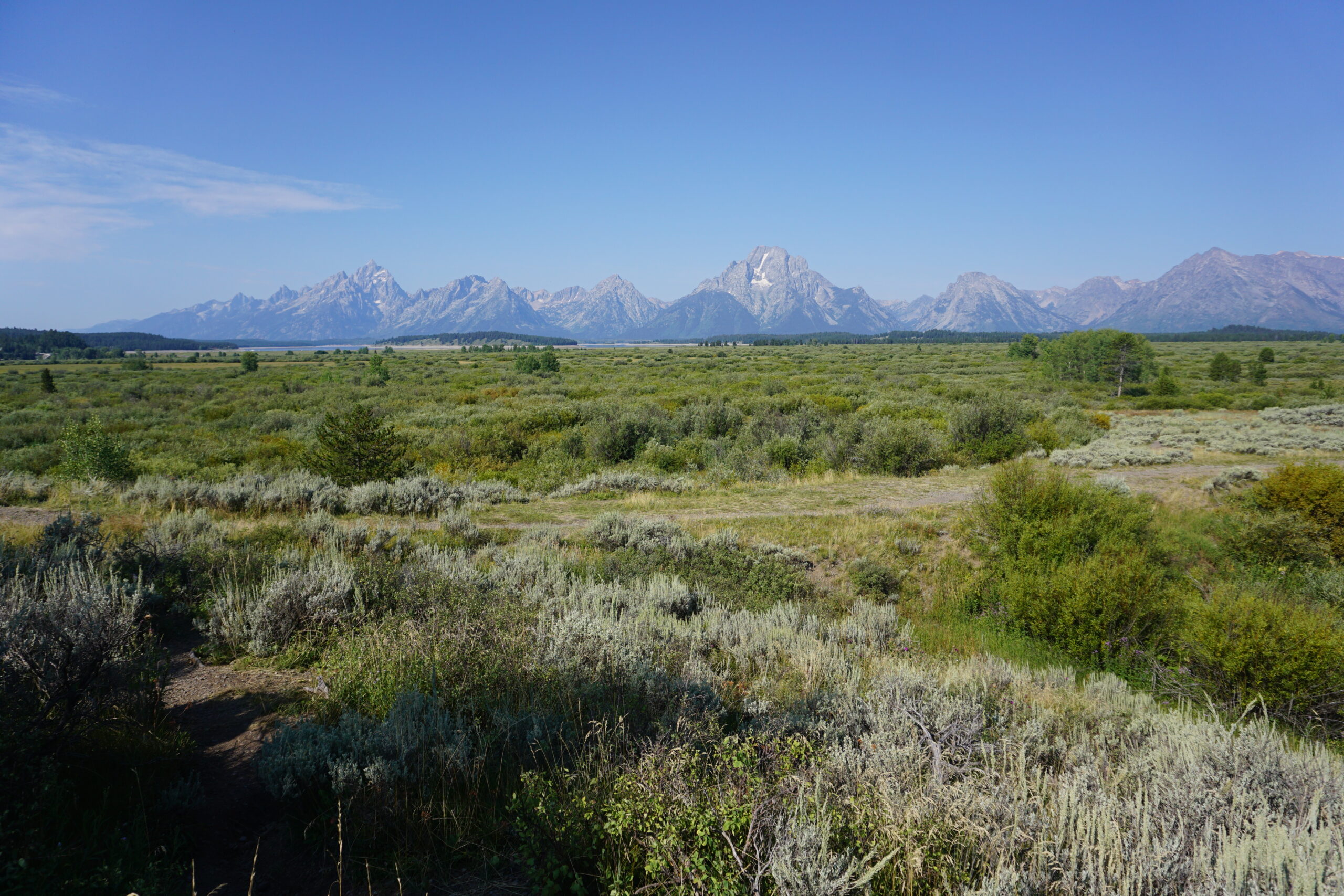
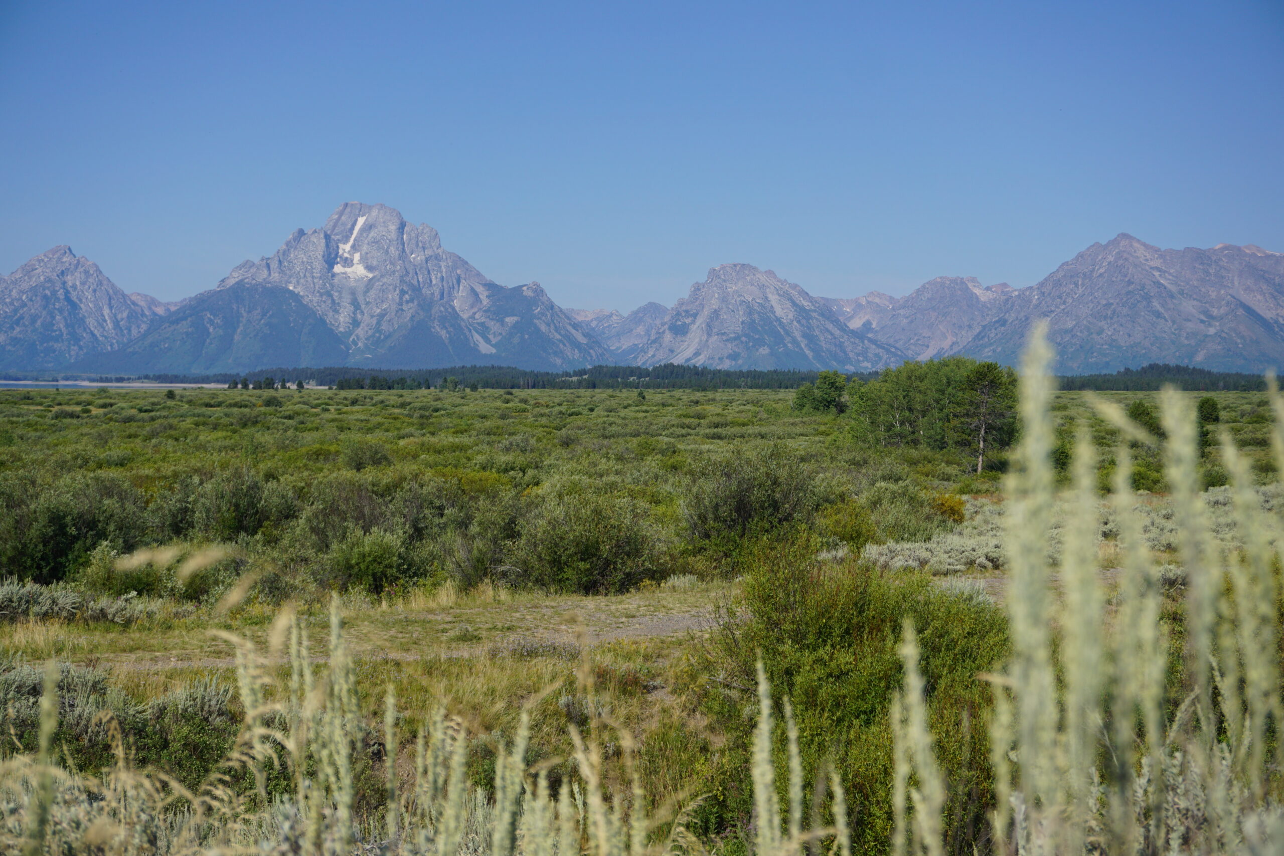
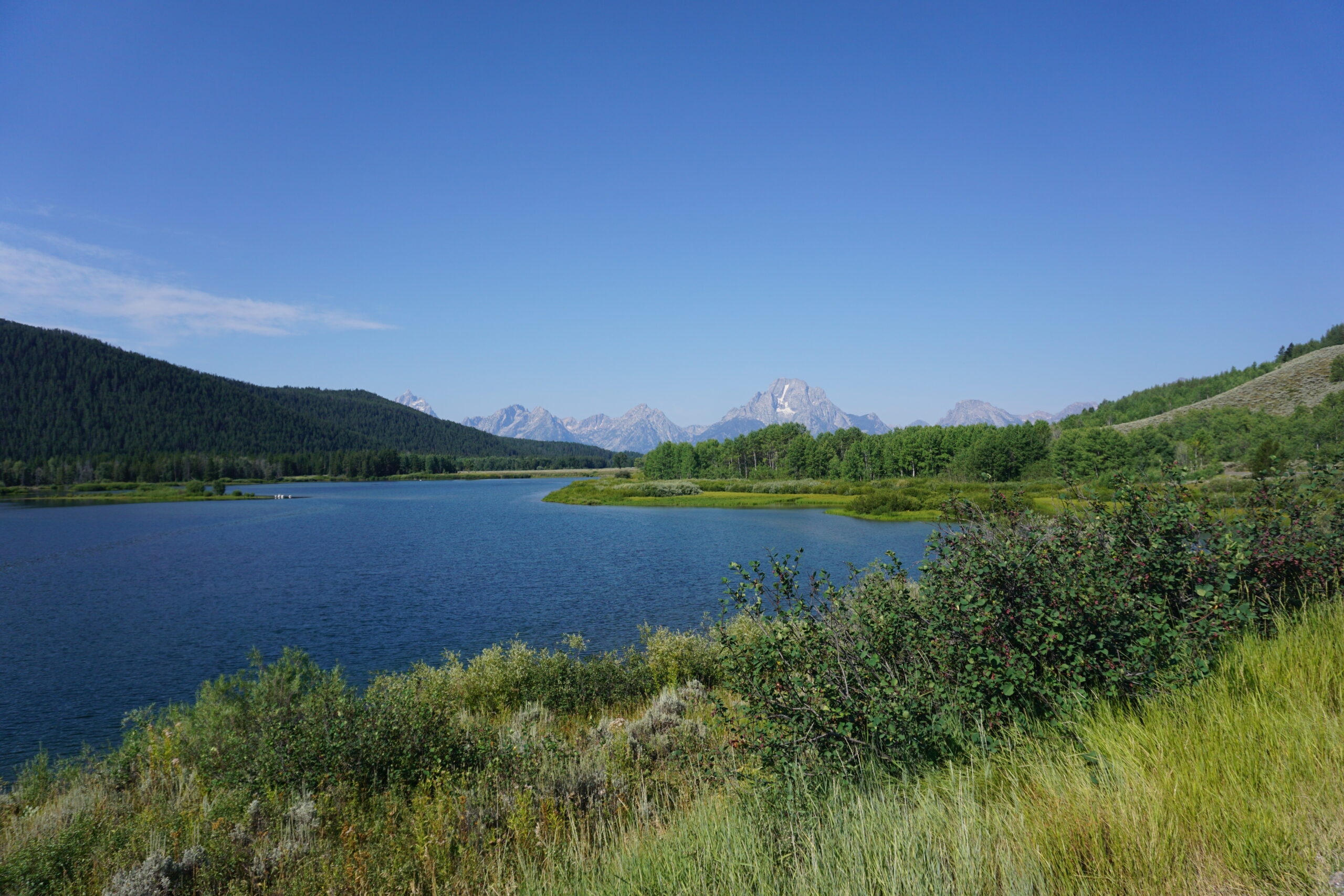
For today we have not set any alarm clock. We’ll see when we got up. Yesterday evening was quite late, 11pm, because we had to wait for our laundry to be washed and dried. When I just was in the tent last evening it started to slightly rain. I was hoping for rain during the night, or better no real rain at all. It turned out to be the latter. We had no real rain. Unfortunately I forgot to turn of my alarm, so at 6am my alarm went of. Not to big of an issue since I was already awake. I turned around getting some more rest. Unfortunately that take not long. 15 minutes later a squirrel decided to work on his winter stock, and that the best pine cones where in the three above my tent. And how does these creatures work, they throw these pine cones out of the tree so that the later can collect them. Dozens fell around and on my tent. No more rest for me. Around 7:15 I got out of my tent to clean up, and start getting things ready. By 9:30 we left, but first we stopped at the grocery store for some more breakfast snacks and water. The weather was beautiful, and the views on the Grand Tetons were spectacular! We checked some lookout points and made sure we definitely enjoyed some of the Tetons before we left.
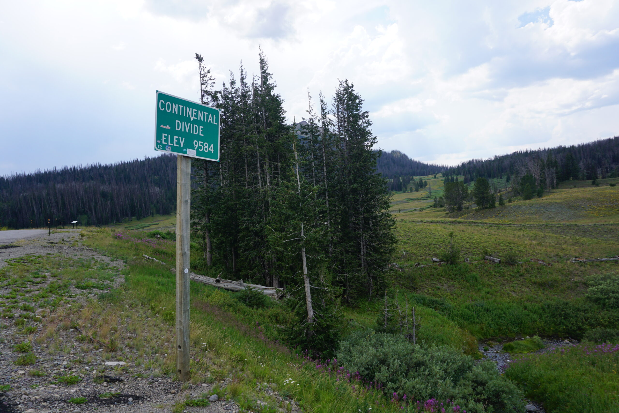
Togwotee Pass
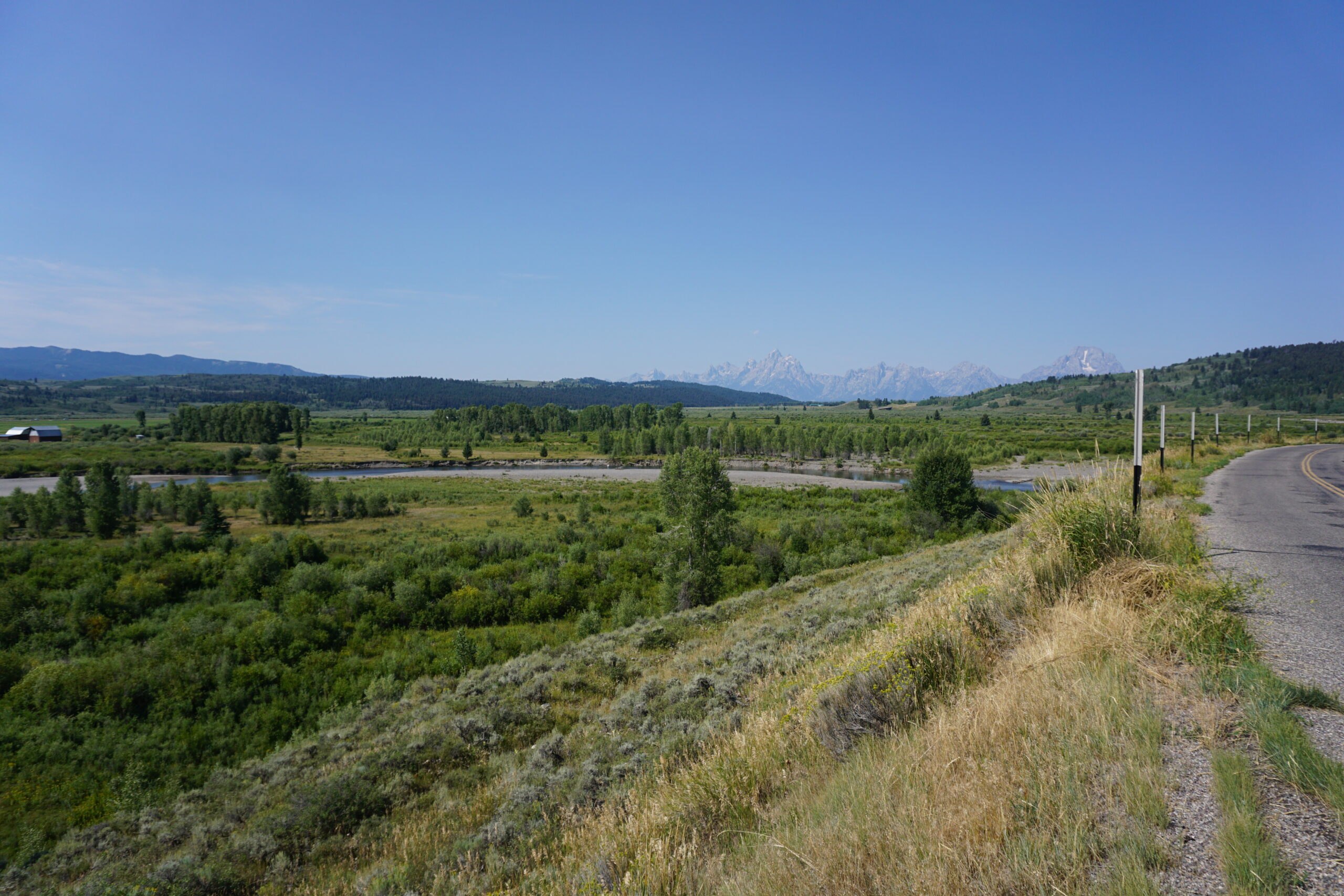
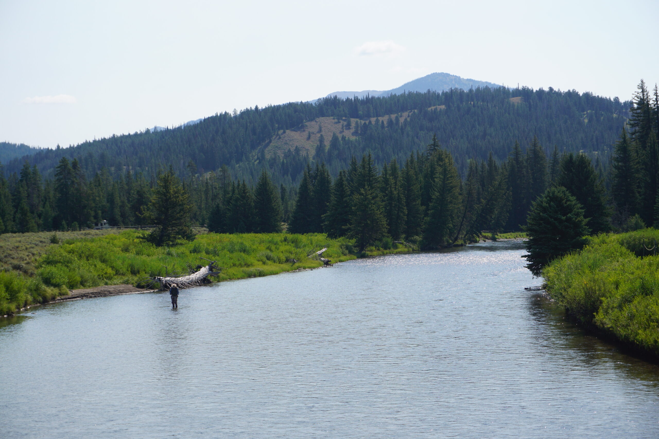
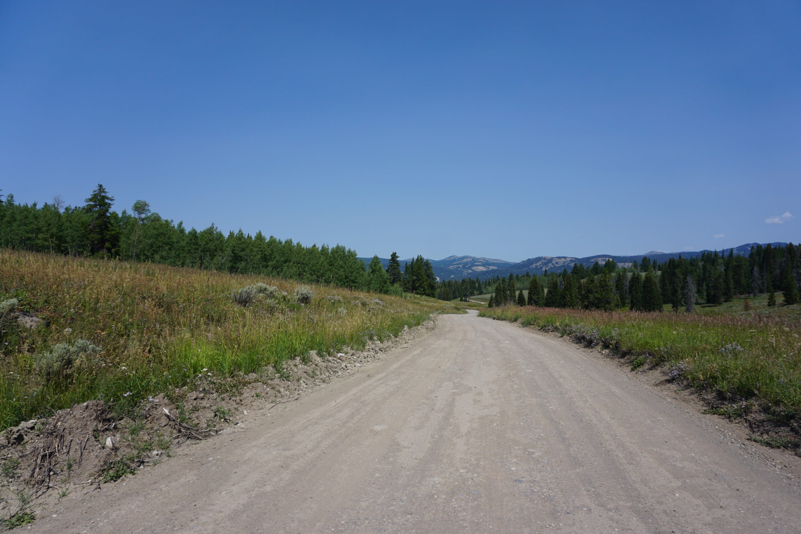
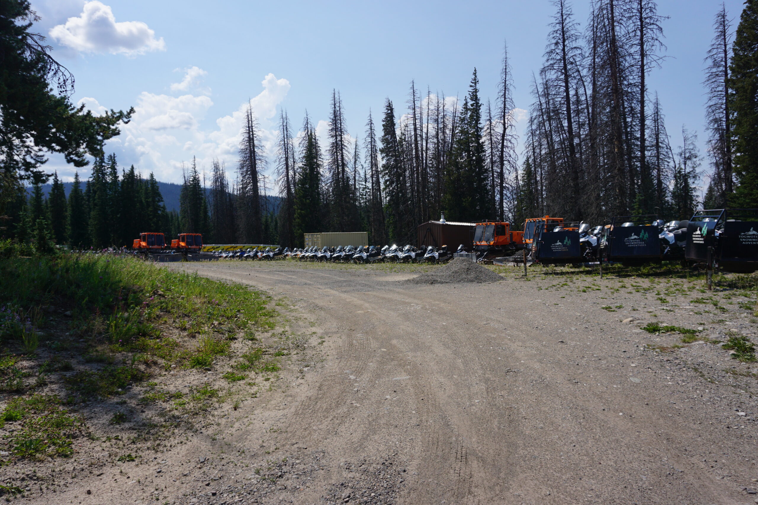
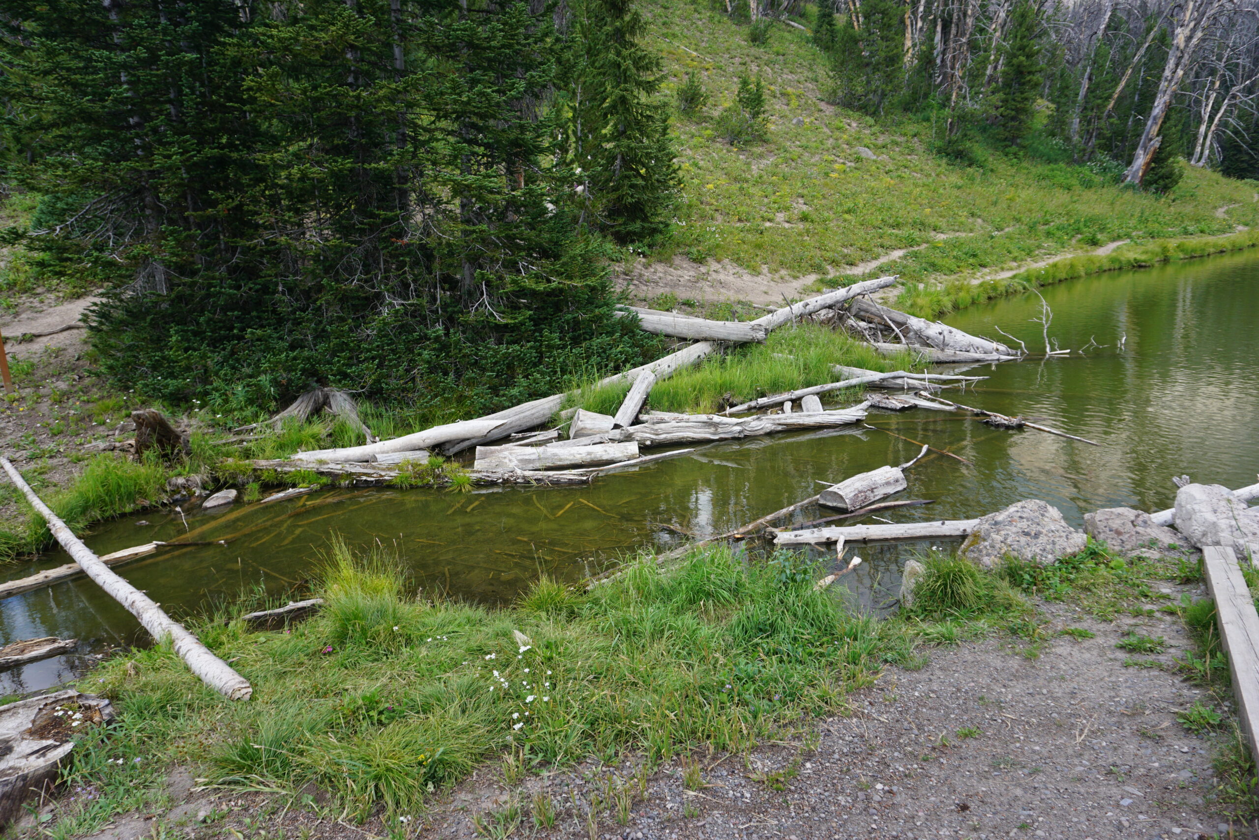
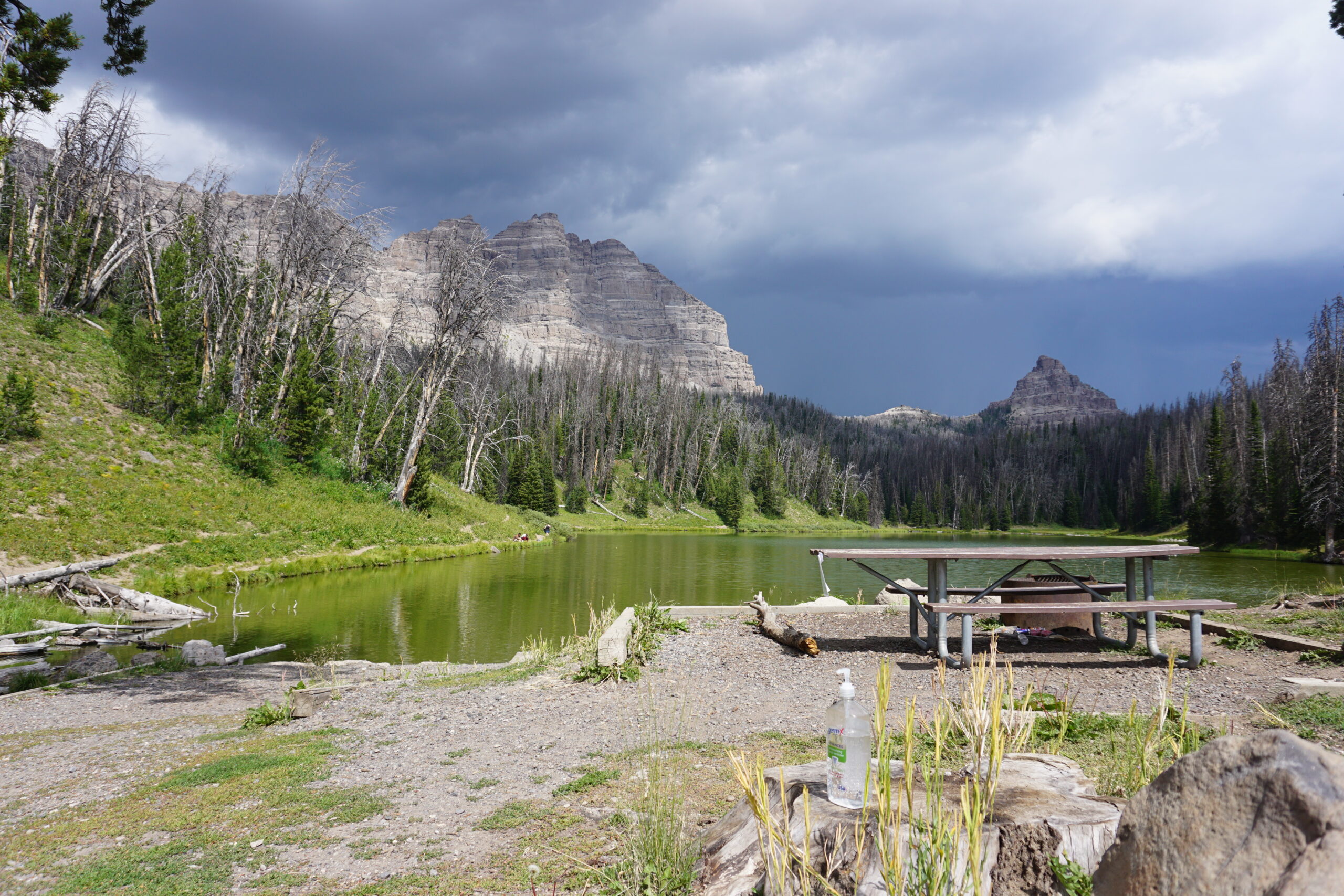
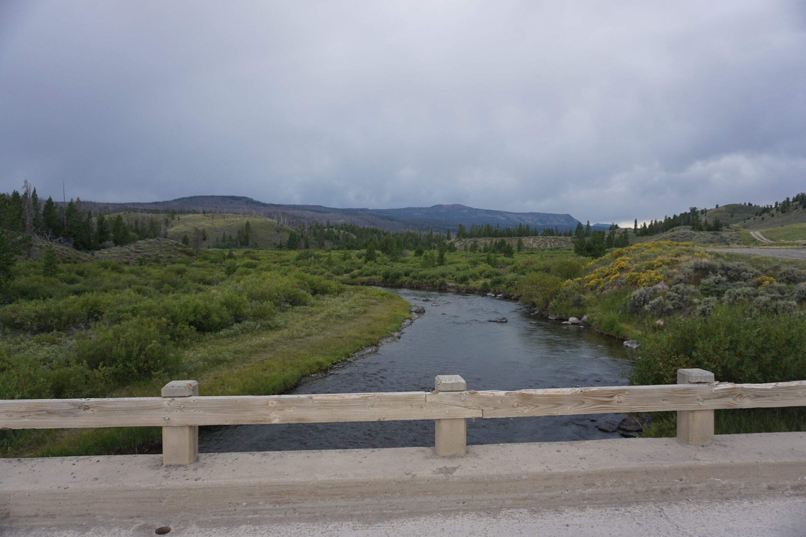
When we were several miles out of Grand Teton National Park we turned onto a gravel road and our climb started to get to Togwotee Pass. It took two large climbs of about 10km each to get to the top of that pass. Just before the base of the first climb we met a father with two sons riding (a part of?) the Great Divide Mountain Bike Route. We would see them a couple of times more today. The first climb was all gravel road, ending at an intersection with a gas station and a gift shop. We used the grocery store in the gas station to buy some snacks (I had an ice-cream, Frappachino, and Gatorade). We also met a North-Bounder who started in Breckenridge (Colorado). The second climb was on a paved road. Both showed incredible views, where the first included distance views of the Tetons. We also saw quite some people (fly)fishing in the rivers (yesterday as well). And some people Stand Up Peddle boarding on the Teton rivers. SUPs are quite popular in the US, I’ve seen many during our ride so far.
Afternoon thunderstorms
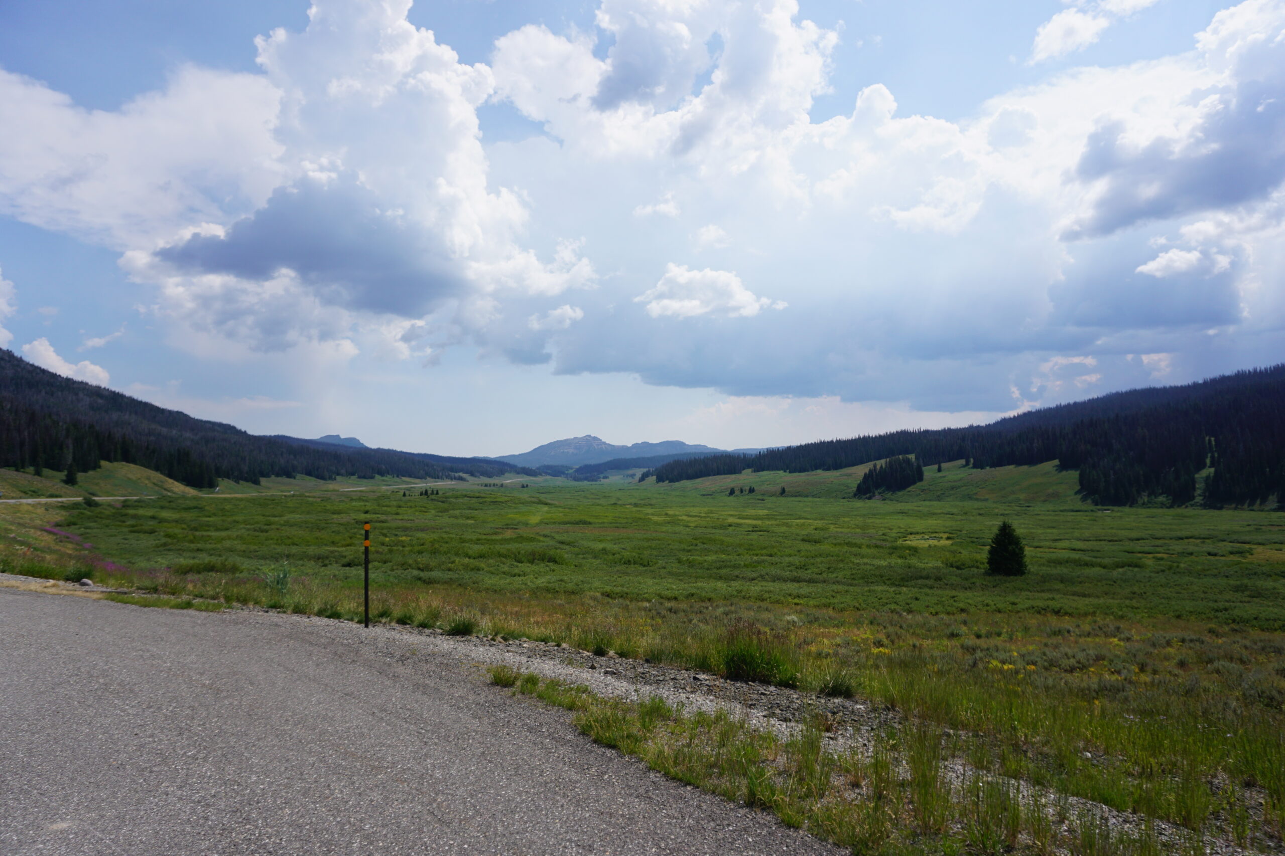
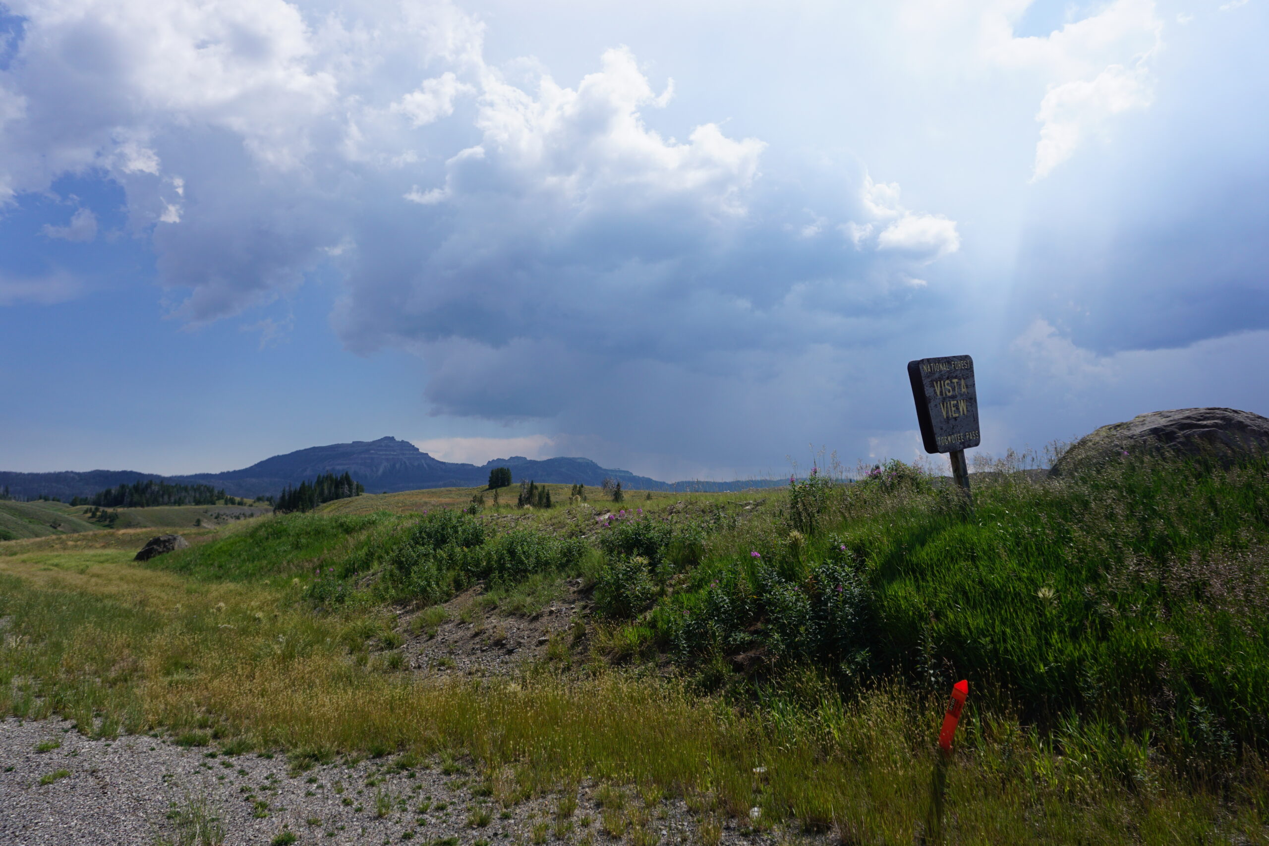
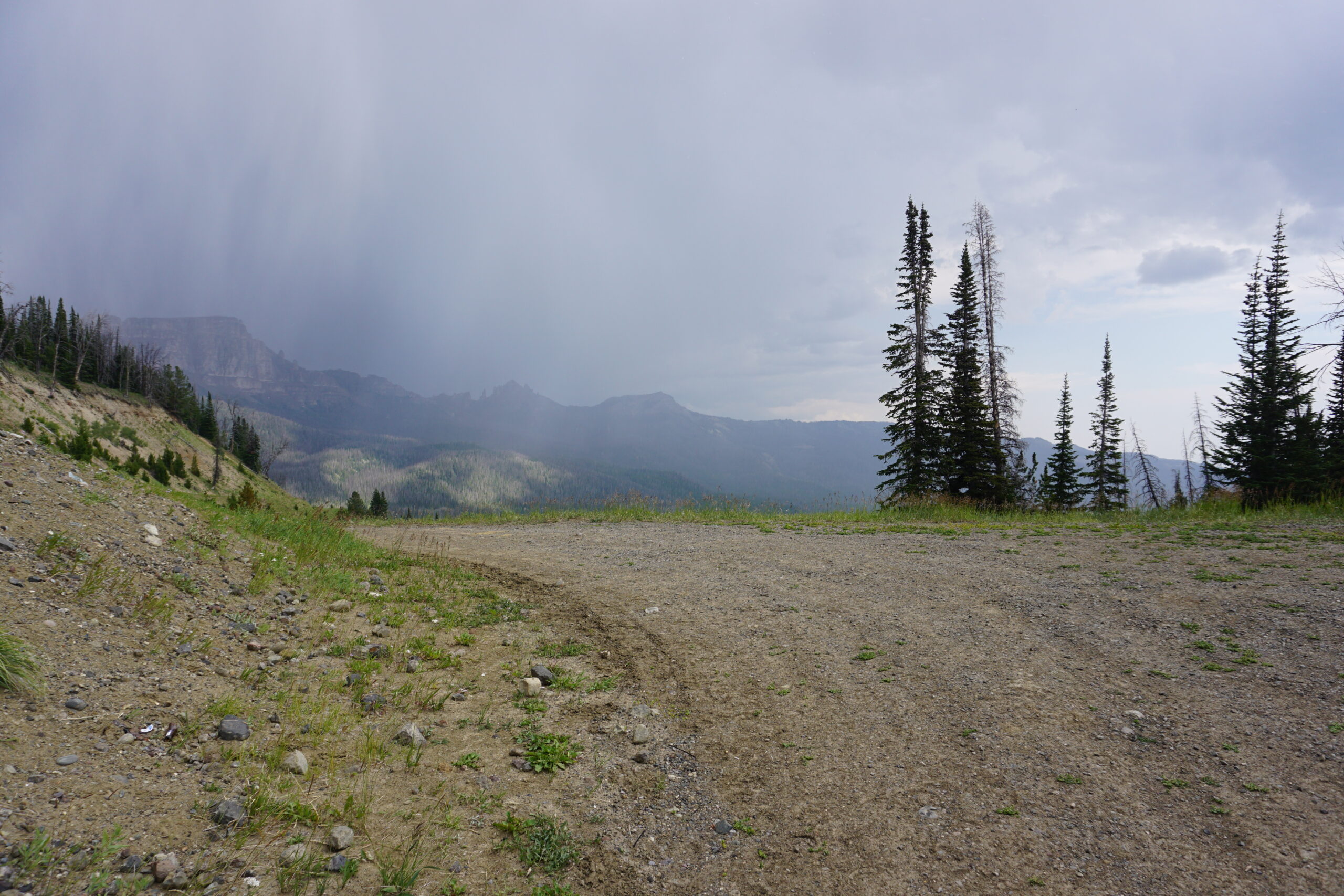
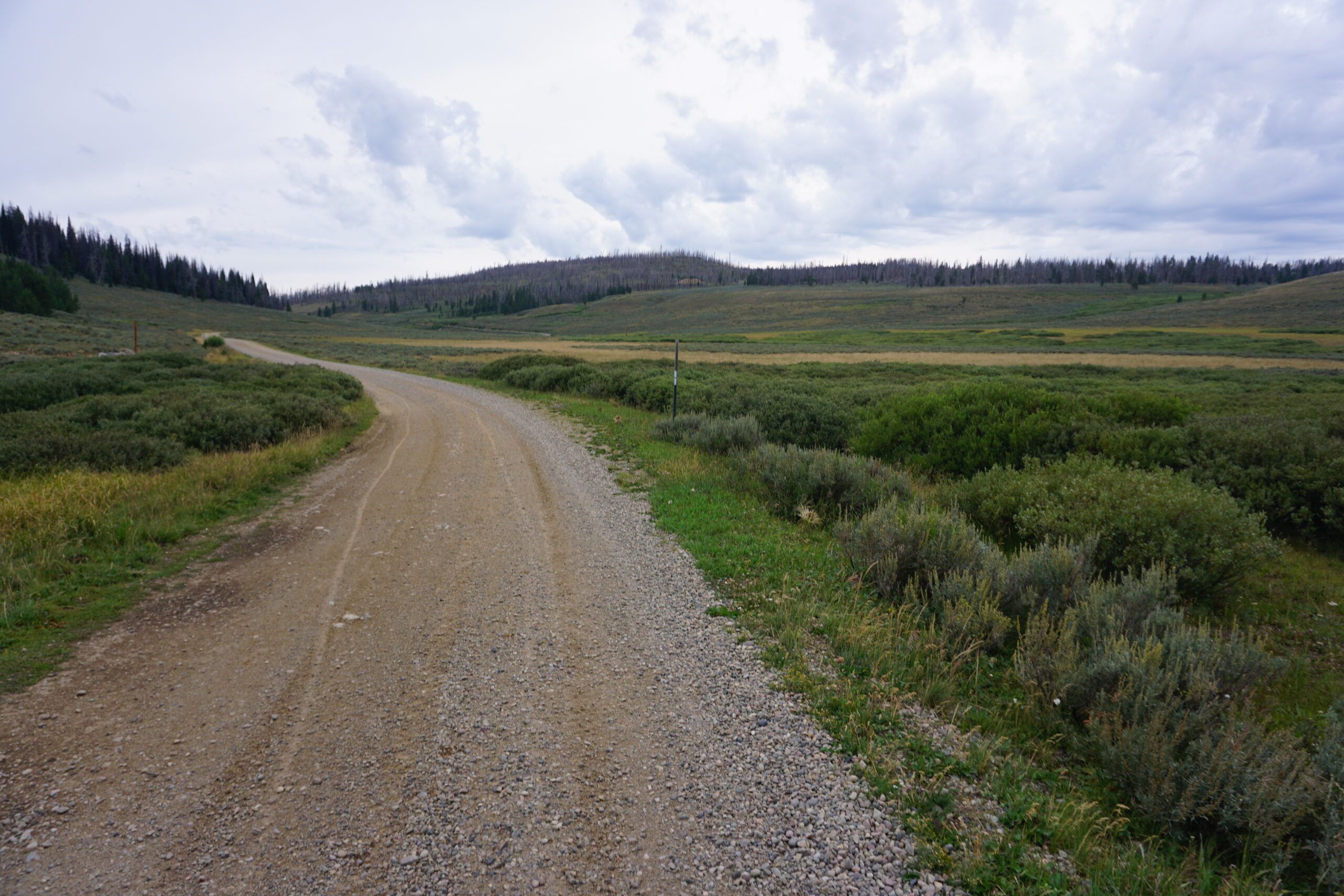
Shortly after reaching the top of Togwotee Pass, we had a turnoff onto a dirt road. There was a huge sign stating that you needed a high clearance 4×4, and that the road was impassable when wet. I’ve read about that before I left, and rains turns the dirt road into tick mud (also know as peanut butter mud). Meanwhile thunderstorms had formed before and after us, but we were still in the sun. So, we continued on the dirt road. From the tracks in the road we could clearly see that this would be an issue when wet. We made some good progress but one of the thunderstorms neared, and it started to rain lightly. We started to get a bit worried and pushed on. Unfortunately I saw we still had 15km+ to get back on the main road. The rain got worse and we took our rain gear. Fortunately that was at a place where the dirt road had changed into a gravel road. Less then 1km further we decided to park our bikes against a tree, and seek some shelter for ourselves as well, also under a tree (we were in a forest). There was hail and rain but we stood in a fairly good place. We waited and hoped that it cleared up quite soon (since it was just an afternoon thunderstorms). It took about 20 minutes before it had almost stopped with rain and we decided to move on. Not to bad, we were on gravel. 1km further, the gravel was mixed with sticky sand and it got slippery. If you came to close to the side of the road your bike would slip away and you would fall. We were cautious and slowly did the downhill. Eventually, after about 12km we were back on the main road. The road we took was beautiful, but the rain made it a challenge. After riding about 8km on a wide shoulder on the main road (this was still the road that originally came from Grand Teton National Park, but our route detoured), we stopped at a bar/restaurant and ate a hamburger. When we were almost finished, dad and his two sons also arrived. They had tried to get through the impassable section, and they did not succeed. The mud got their bikes to a halt and they could not drive any further. So with a lot of effort they went back to the main road and followed that one to the same bar/restaurant. The decided to spend the night in a cabin over there. Since the weather was better (at that bar/restaurant not a single drop of rain fell), we decided to make a few more kilometers and climb an additional pass.
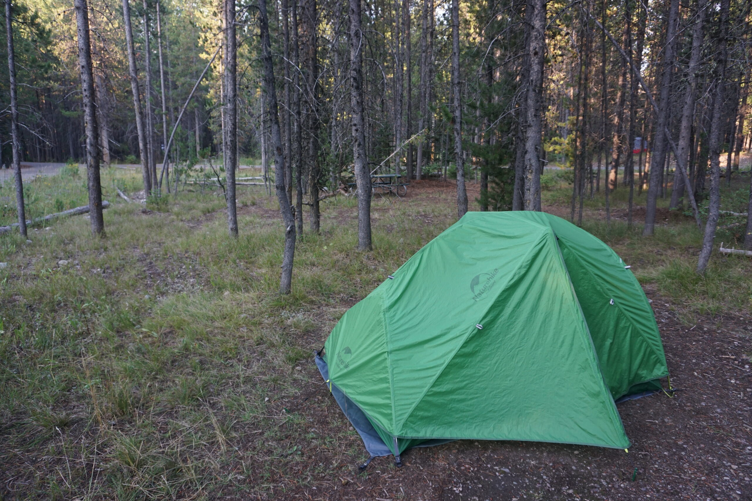
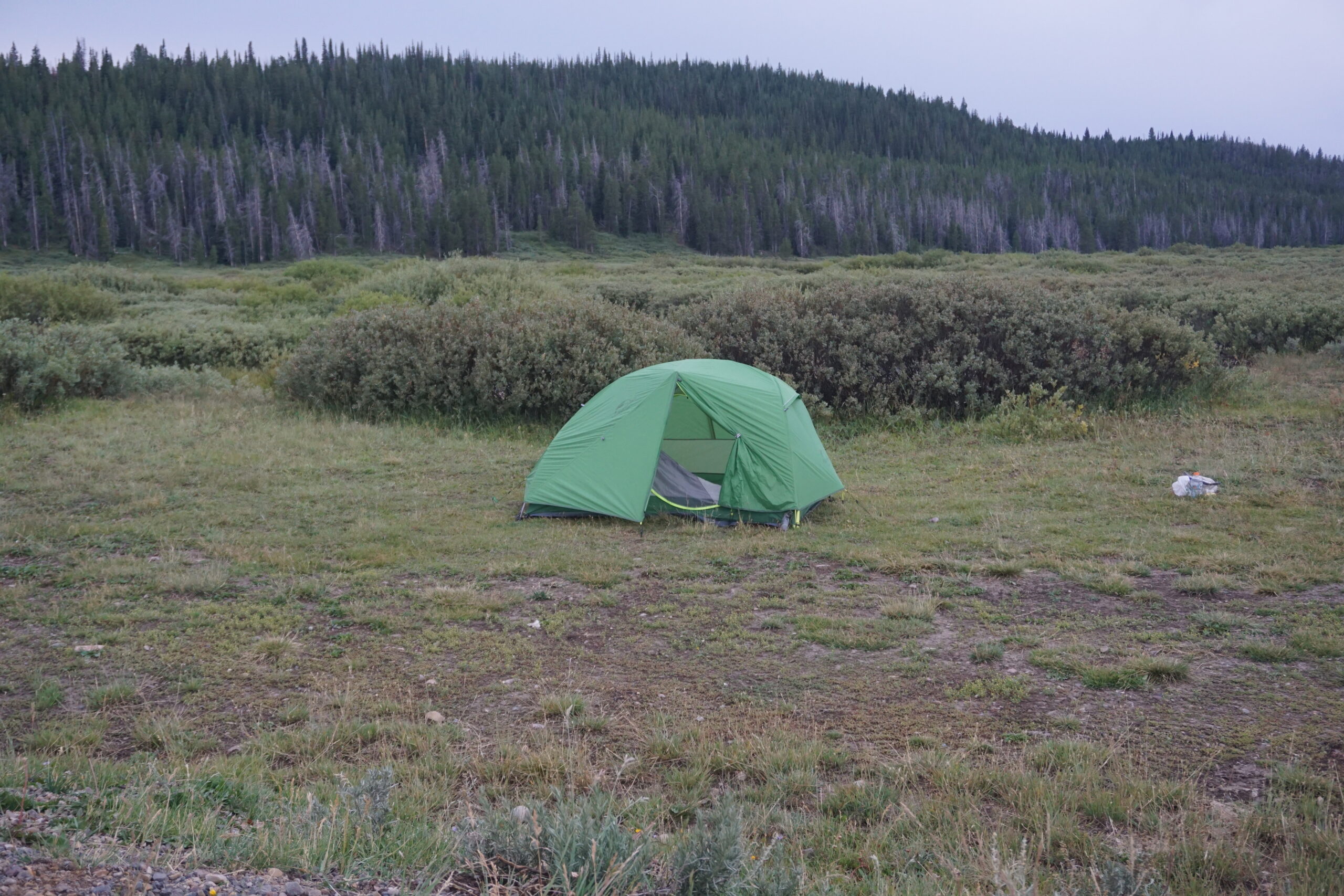
Informal campground
By climbing this additional pass we saved an additional hour for tomorrow. We really want it to make it to Pinedale on Saturday. 3km after the top of this pass there was an informal campground. There was nothing besides a flat spot in a grassy field. No problem. However, the whole area surrounding it was perfect bear country. Bushes, streams, etc. Well, not much to change because the weather was again getting worse, and continuing meant we needed climb another, even higher pass. No option. So, we pitched our tent, ate some snacks, hang our food at the nearby bridge (unfortunately a bear would still be able to get it if it wanted to, but there were no good trees in the immediate area). After that we went to our tents and tried to sleep. Albeit a bit nervous.
Gallery