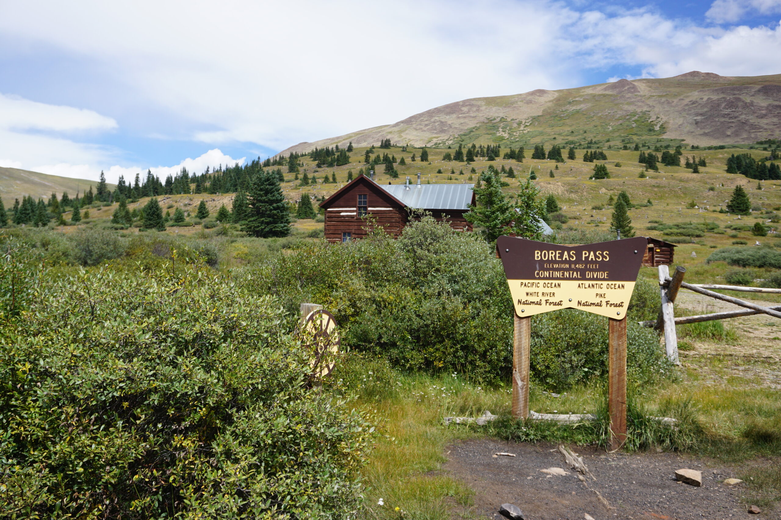
Today we rode from Silverthorne, Colorado, US to Hartsell, Colorado, US. The day started with sunny weather, eventually overcast, and later thunderstorms (we have not been rained on today). Road conditions included paved roads and gravel roads. Highlights of the day include Boreas Pass (one to second highest peak on the Great Divide Mountain Bike Route).
Riding statistics: on Sunday August 28, 2022, the 28th day on the Great Divide Mountain Bike Route route, it took 09:16h (07:14h moving time), between 09:06 and 18:22, to cover 111 km (69 miles), including 1191 m (3908 ft) elevation gain, with an average speed of 15 km/h (10 mph). During today's ride the average temperature was 21 °C (72 °F) with a minimum of 11 °C (52 °F) and a maximum of 34 °C (98 °F).
Totals: So far, it took 8 days, 8 hours, 18 minutes and 3 seconds of cycling time to cover 2940 km (1827 miles), including 34341 m (112673 ft) elevation gain, with an average speed of 14.9 km/h (9.3 mph).
Leaving Silverthorne
Today we have not set any alarm clock. We would just see when we got awake. Since there was 1 other person on our 4 person room, we imagined we would be awake early as well (although we did not mind sleeping in). Yesterday evening it took a long time before I fell asleep. It was a bit warm, and after removing some layers of the bed sheets it was better and I feel asleep quickly. In the morning we were awake in time but decided to just relax a bit. And so it was 9am when we left the hostel annex hotel. First we needed some breakfast. Starbucks was on our way out of town, but it was closed. A nice coffee shop only had many different coffees, but a very limit assortment of breakfast food. So we went to the gas station (7-eleven) and bought a garbage breakfast (I had a giant blueberry muffin and an eclair). Yes, 900 calories to start the day! After our breakfast we joined the original route again and moved on.
Frisco and Breckenridge
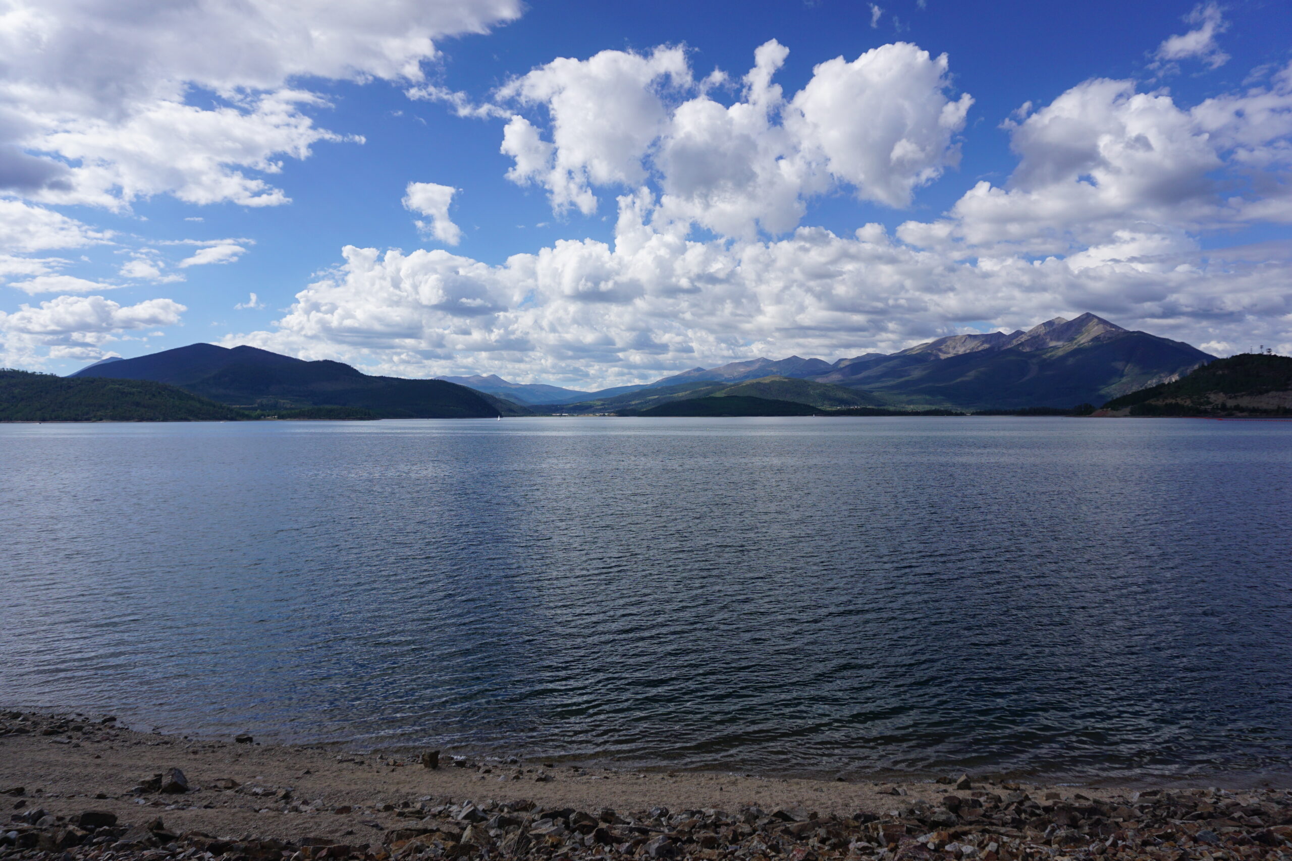
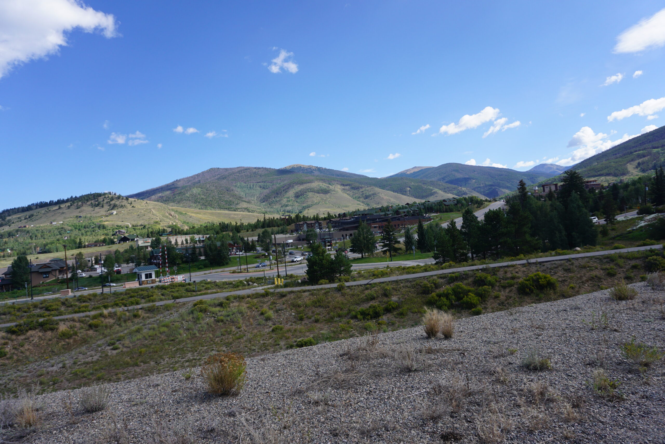
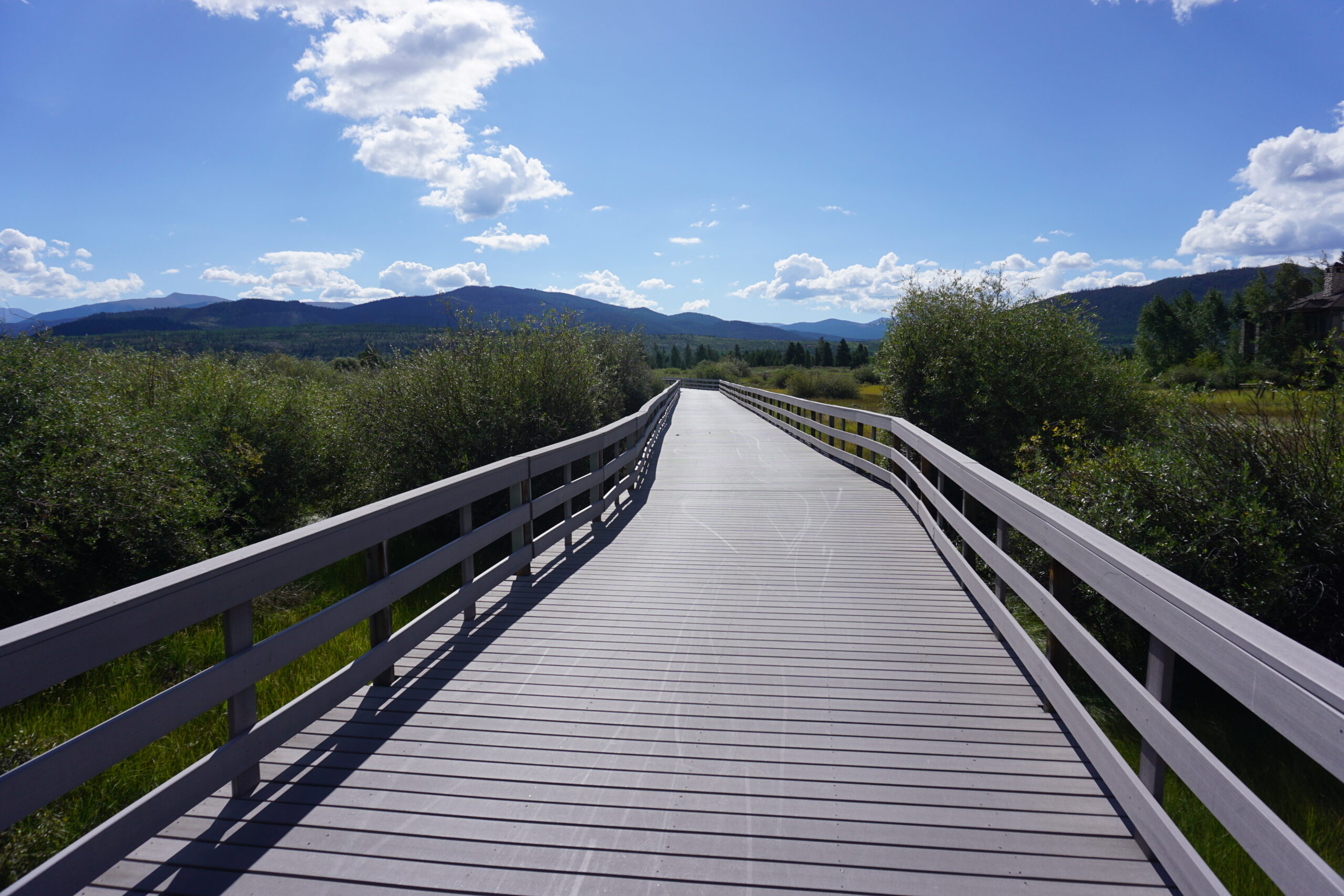
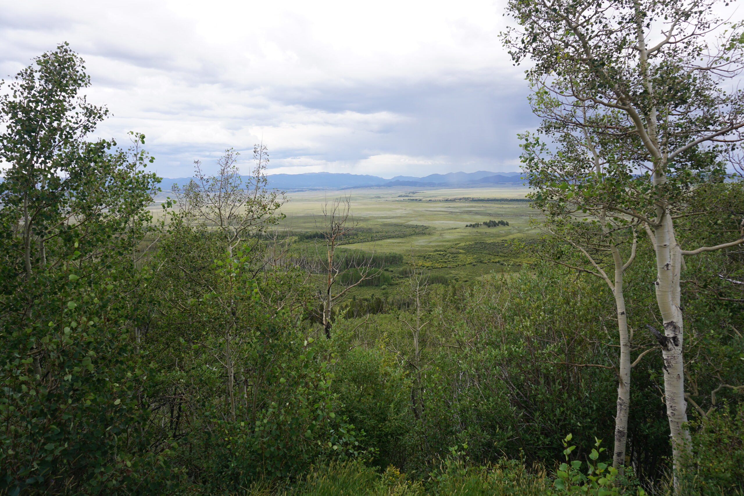
Getting out of Silverthorne involved quite a climb to get up to a bike-path around a reservoir. It was a nice ride. The bike-path followed the lake for many kilometers and many people were hiking, biking, and doing water sports. Following the bike path, we even reached the next town, Frisco. This town was at the shore of the same reservoir and even more people where on the water over here. It even had a marina. The route brought us to the center of the town and that looked really nice. For the main street I had the same impression as in Banff. Really outdoor-ish. We continued on a second bike-path which brought us to Breckenridge, over 10km away. Again many people biking on the bike-path (mountain bikes, road bikes, city bikes, …). In Breckenridge we have done some groceries (drinks and some fruit) and ordered a wrap at the local Subway. We ate half and kept half for later that day. Also Breckenridge had a very nice looking town center. There were even gondola which took you to the top of a mountain. In winter these where used for ski activities.
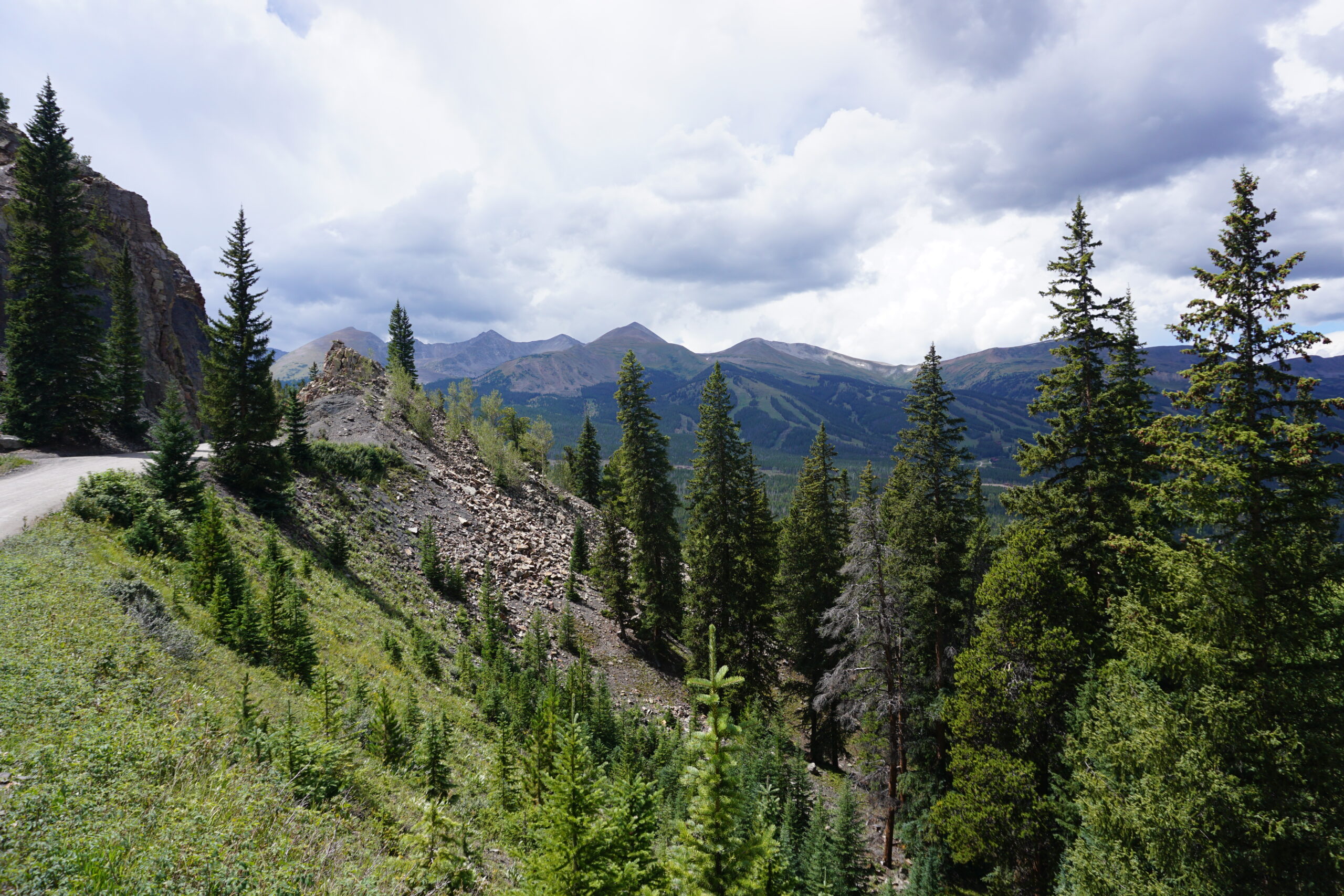
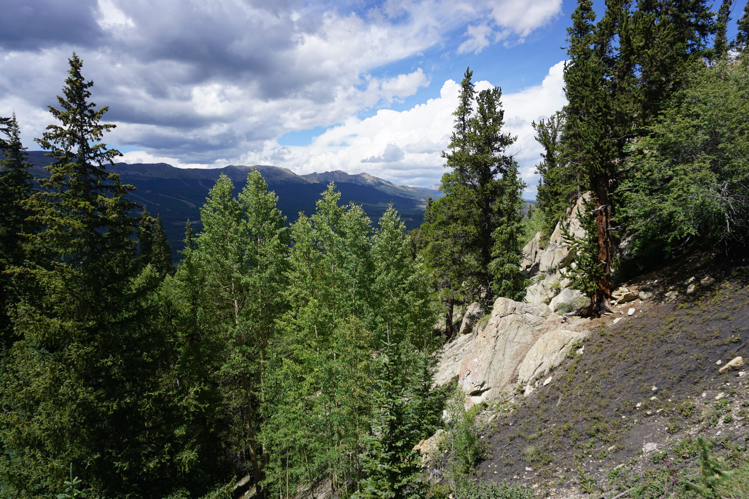
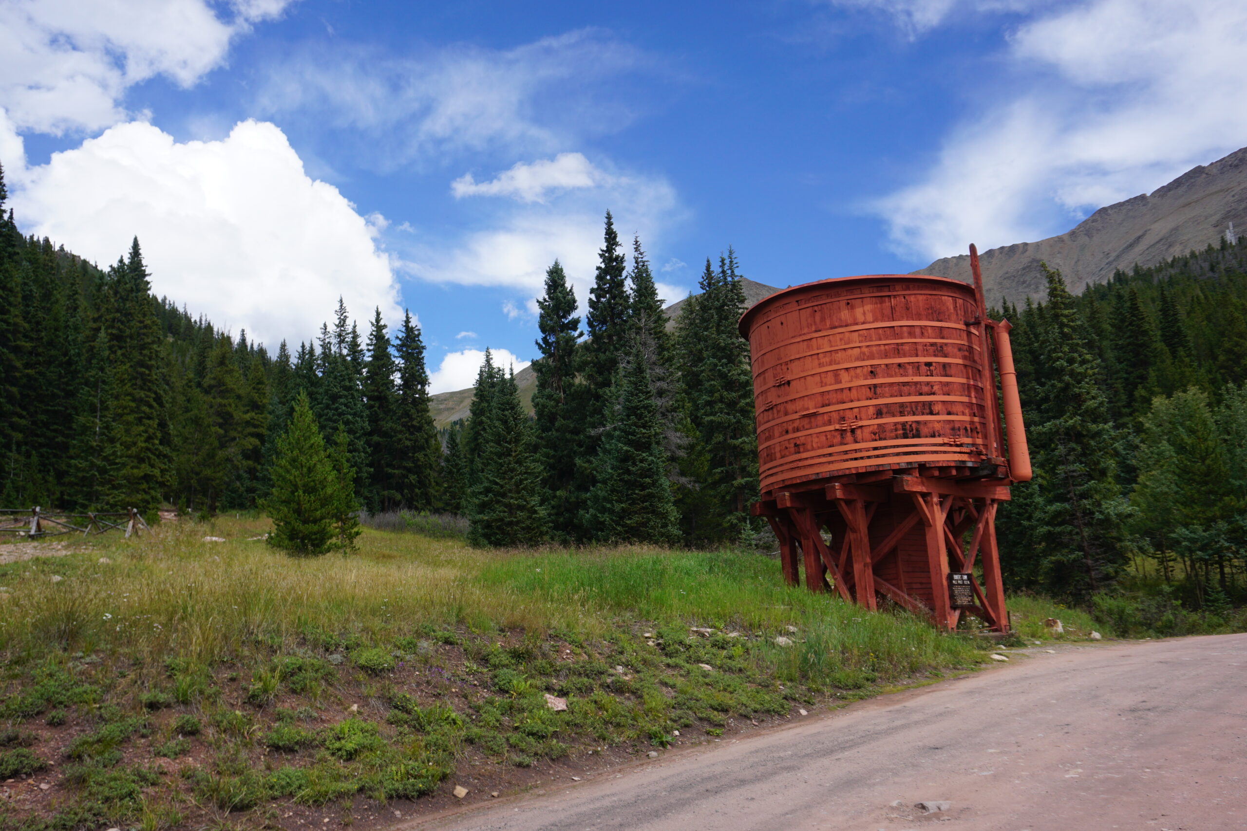
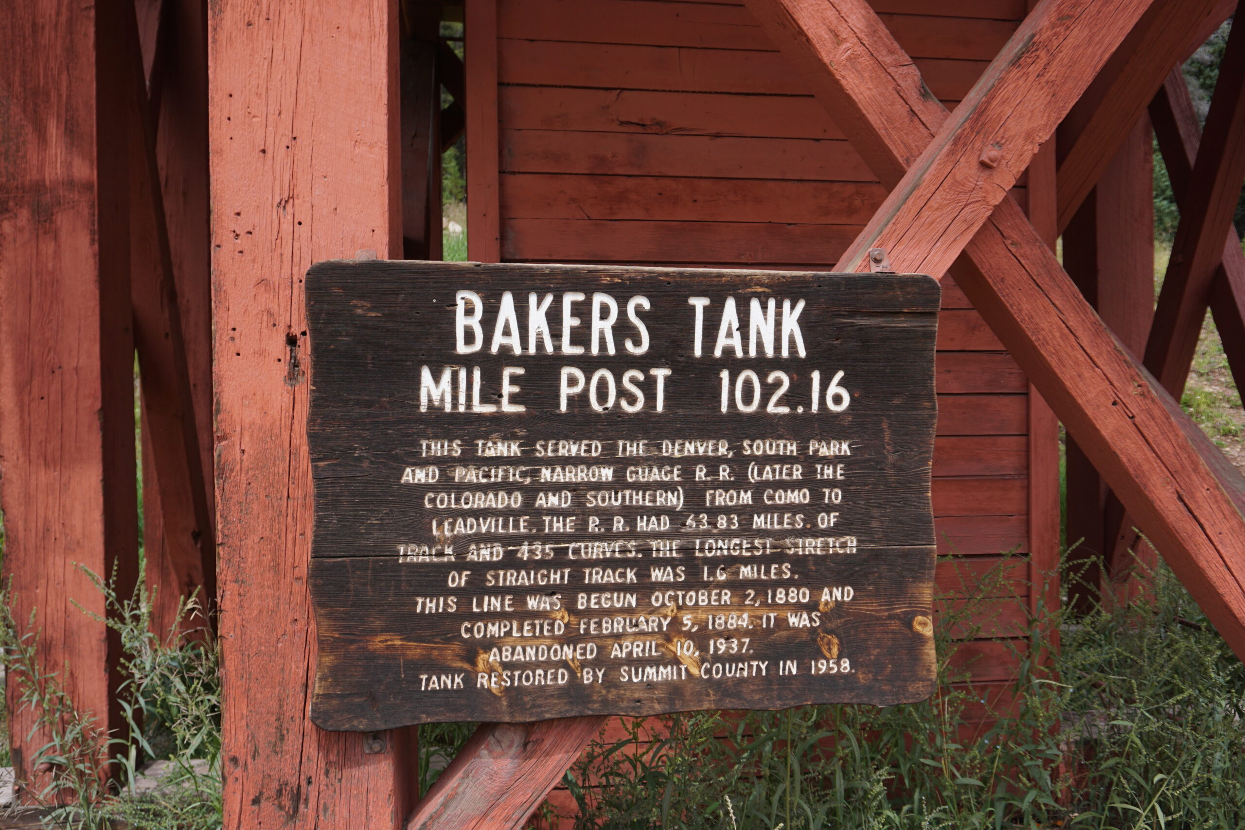
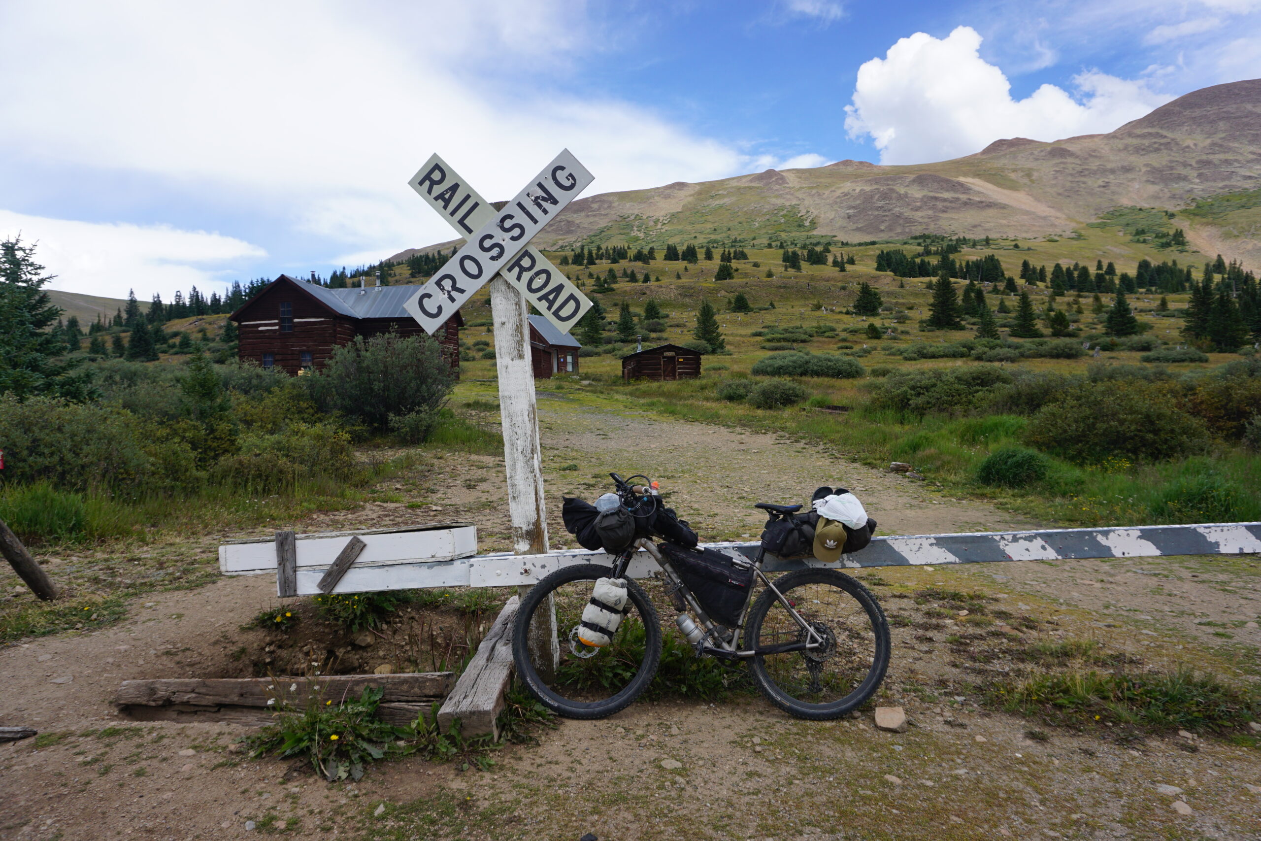
Boreas Pass
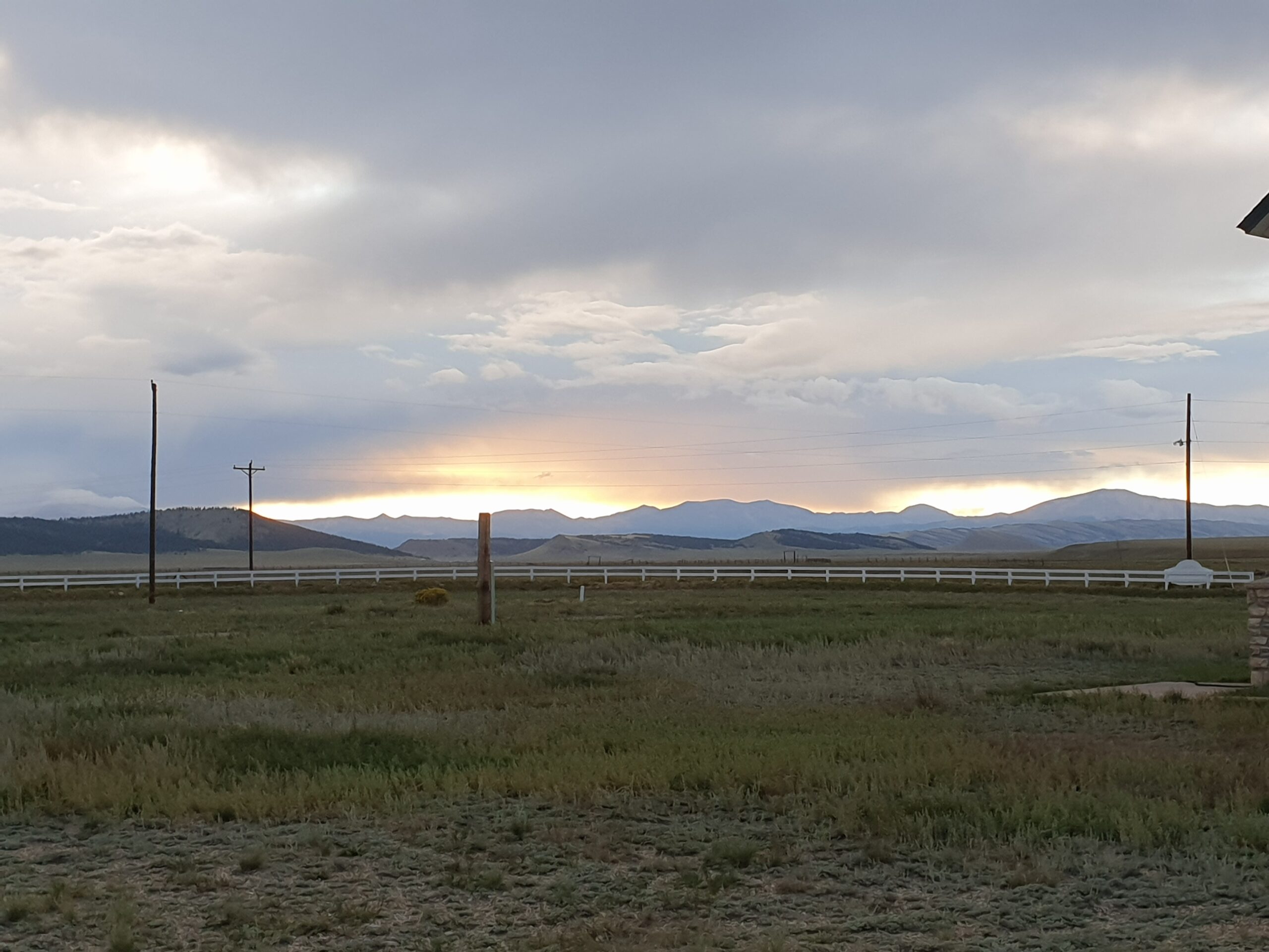
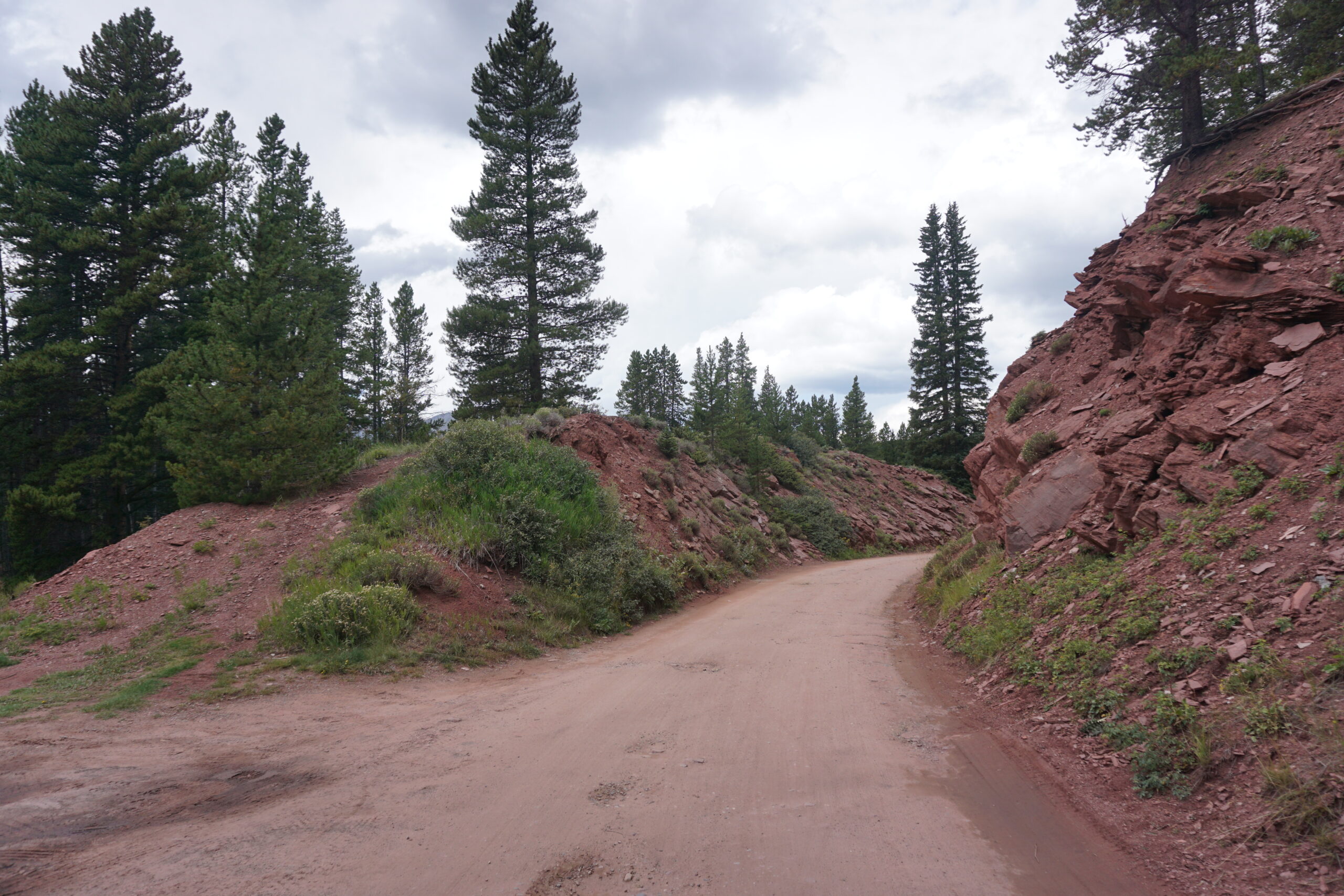
Already in Breckenridge our next large climb began. 16 kilometer long, and we had to cover 600+ meter in elevation. This was the climb to Boreas Pass (almost 11.500ft). The first 6 kilometer had some steep sections, but it was on a paved road with little traffic. So that was not too bad. The remaining 10km where on a gravel road (first a really nice one, later it got more rocky and that made it just a bit more difficult). However, the road to the top of Boreas Pass was originally a railway, so the steepness was very much doable. This meant that we found the climb much easier than we had expected. Around us the thunderstorms / heavy rain showers already started to appear. Fortunately we had none. On top of Boreas Pass we put on our rain gear. Not for the rain, but for the cold when going downhill. The downhill was sometimes fast, and sometimes slow due to road conditions. The road on this side of the mountain was in much more worse condition, but fortunately it was down. Just after the downhill we passed a settlement named Como, there was not much to see so we quickly continued our ride.
Hartsell
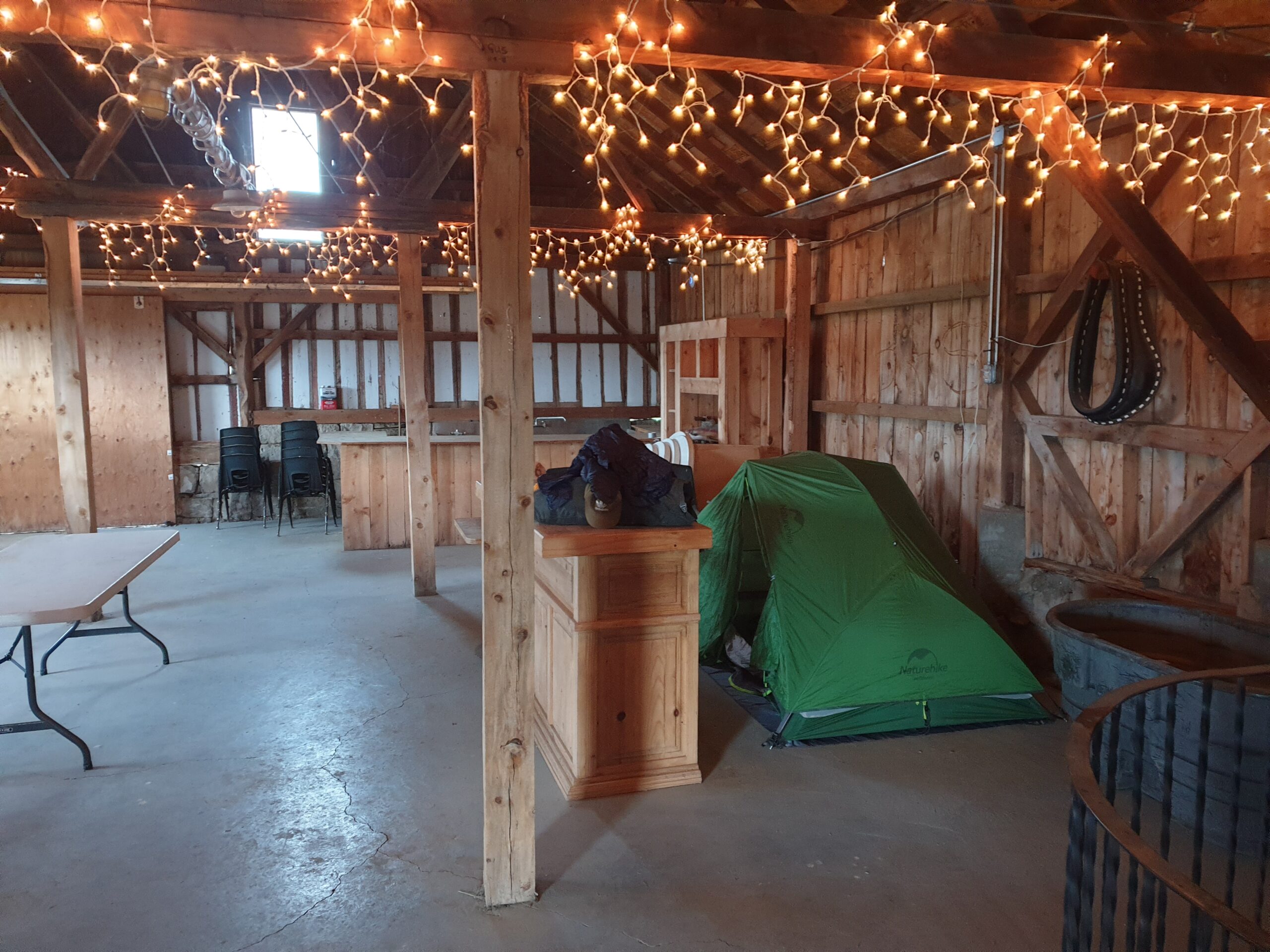
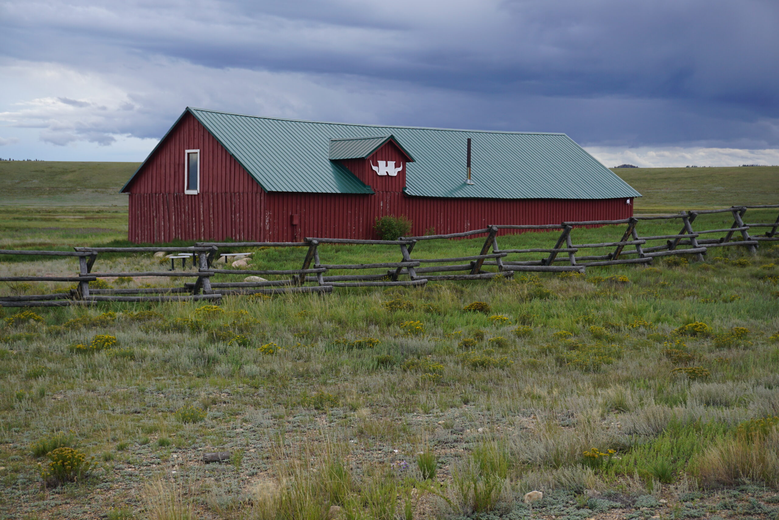
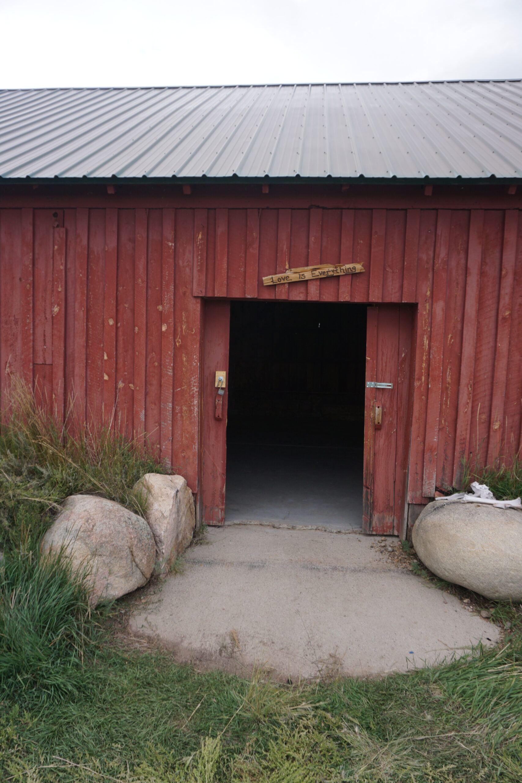
Several kilometers after Como, we turned onto a wide gravel road. We had to follow that road for more than 30 kilometer. It would bring us to a paved road that would lead us to Hartsell. There was a strong wind, cross wind, but slightly from behind. So we had to be careful of wind gusts, but all in all it was more in our favor than against us. At some point we got warm from still having the rain gear on. So we took our gear off (while standing). Somehow I must have made a very bad move. I did not realize it at the moment, but as soon as I was back on the bike I had a very painful right knee. I was unable to put any power on my right pedal. Big problem! I took two Advils and tried continuing to ride. It was painful and I pedaled mostly with the left leg and used the weight of the right leg to get that pedal down. The ‘steeper’ sections I had to walk (which fortunately was not really an issue for the knee). It was a 20 kilometer struggle to our destination. We would have gone to the bar/restaurant in Harstell (there is not much else), and it is possible to setup your tent in their (junk) yard. However, we expected hard winds and rain for the night, and earlier we got to hear that a ranch rented out cabins (which are quite expensive), also rented out space in a barn to pitch your tent + shower included. Just before Harstell we turned of onto a gravel road to pedal to the ranch. And yes, it was available. We were happy with our shelter and shower. I hope my knee is better after a good night of rest (although I have my doubts). If not we have to check our alternatives (using paved roads to get to the next bigger town for more rest maybe). Lets first wait how things will be in the morning.
Gallery
Ha Eef, hoop dat je de pijn in je knie snel over gaat!
Leuk om af en toe te lezen hoe het gaat.
Al over de 60% van de route. Mooi man. Hou vol!