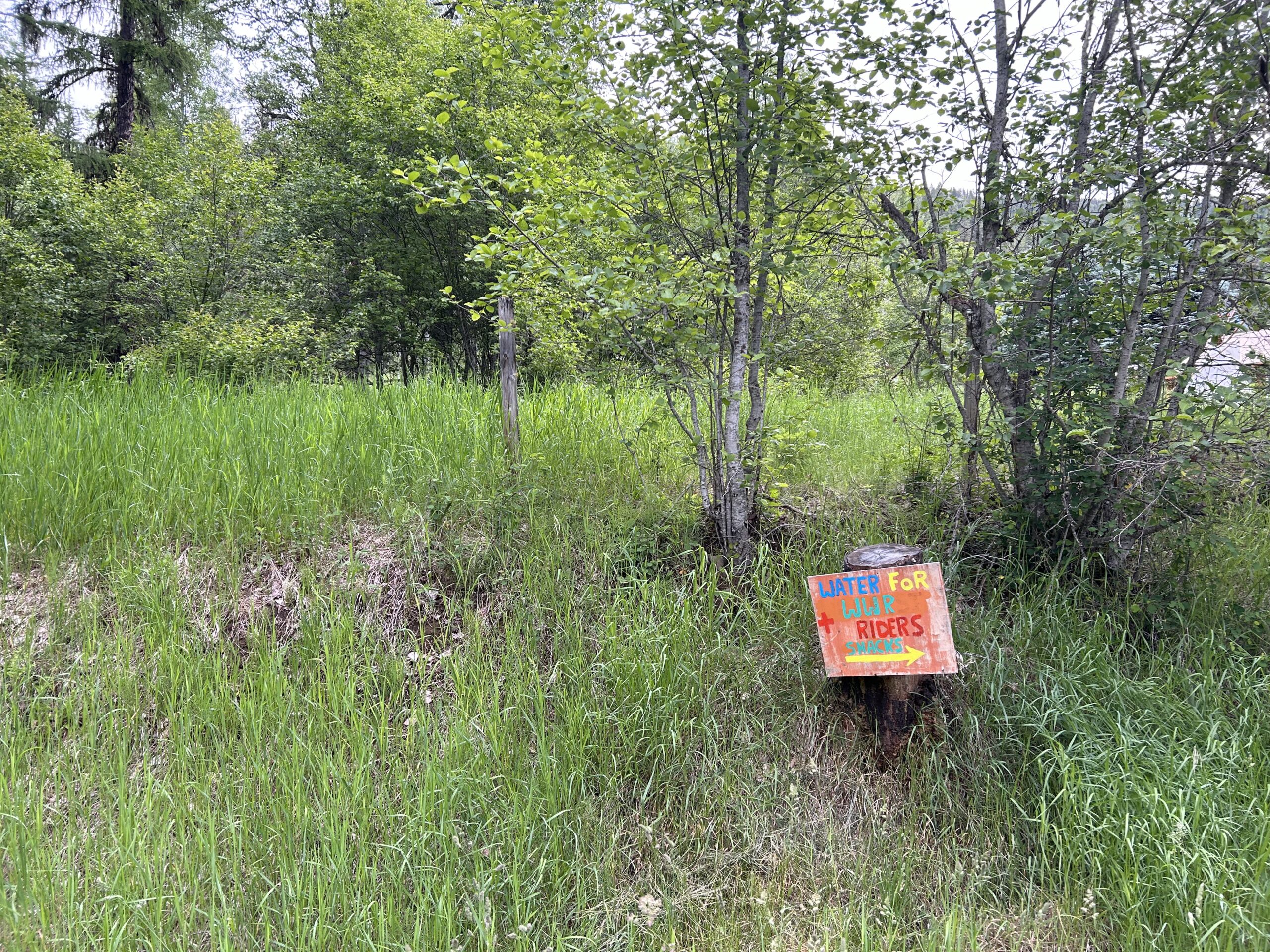
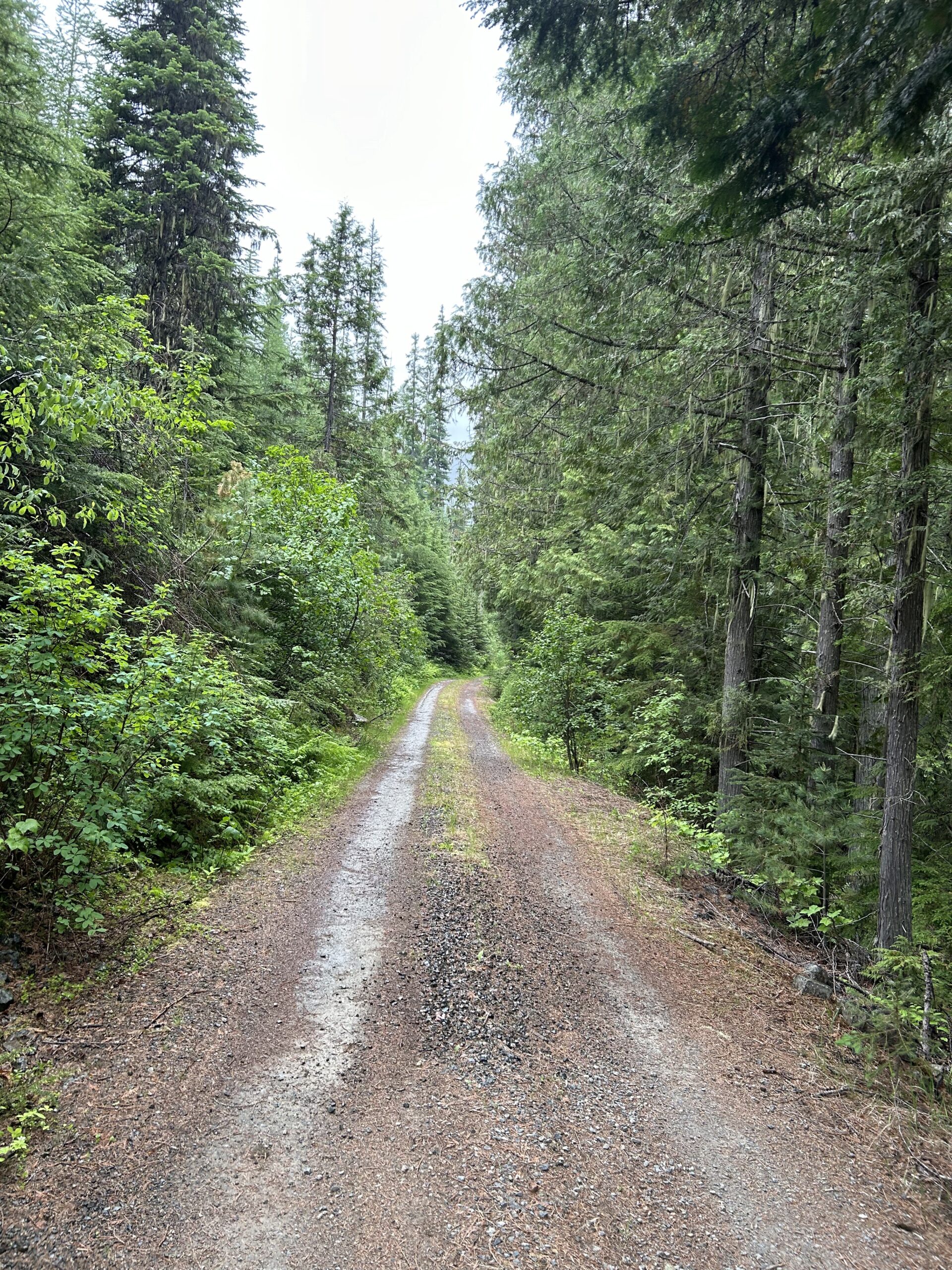
Today we cycled from the Kilbrennen Lake Campground to the Tobacco River Campground 18mm before the Canadian border. The day started completely clouded, and as forecasted, the rain started at 10:30. After 13:00 it became better again with one or two short rain showers. We rode non-paved for most of the day, only a few kilometers on paved roads.
Riding statistics: on Saturday, June 15, 2024, day 46 on the route, it took 10:00h (06:48h moving time), between 6:51 and 4:52, to cover 113 km (70 miles), including 1469 m (4820 ft) elevation gain, with an average speed of 15.0 km/h (9.3 mph), while reaching a maximum speed of 48 km/h (29.8 mph). During this ride the average temperature was 10 °C (50 °F) with a minimum of 6 °C (43 °F) and a maximum of 21 °C (70 °F).
Totals: it took 11 days, 21 hours, 21 minutes, and 14 seconds of cycling time to cover 4146 km (2576 miles), including 45878 m (150526 ft) elevation gain, with an average speed of 14.8 km/h (9.2 mph).
This morning, we woke to a sky already thick with clouds, the air noticeably chilly. By 7 am, we were packed and back on the road, continuing the same route we’d started the afternoon before. The ride took us past more mountain lakes, where we spotted elk grazing in the distance. The sun made a few half-hearted attempts to break through, but the clouds held firm.
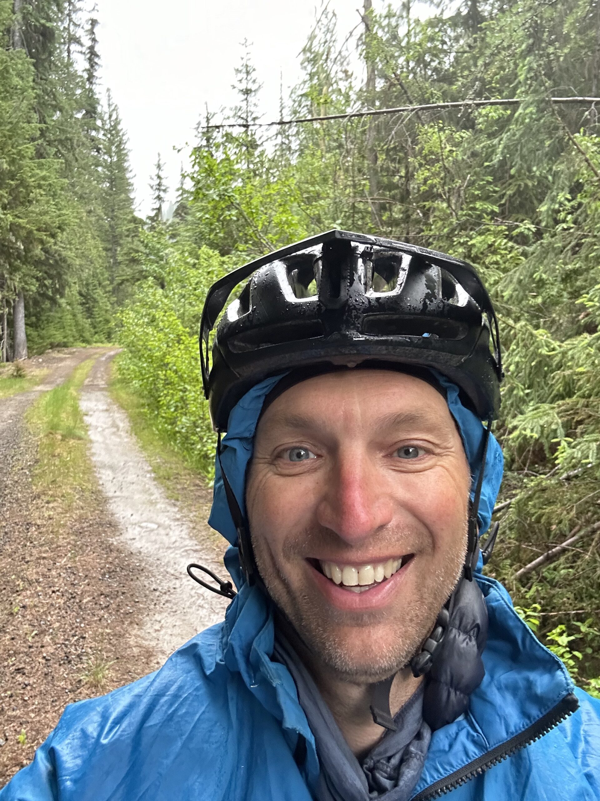
Around 10 am, the first raindrops began to fall, not heavy, but a clear warning of what was to come. By 10:30, the drizzle had turned insistent, and we pulled on our rain gear. For the next two hours, the weather wavered between steady rain and biting drizzle, until the downpour finally won out. By noon, conditions had deteriorated: cold, wet, and relentless.
Then, rounding a corner, I spotted a pit toilet, the standard design here, with a roofed section before the door. I steered my bike underneath, and Fons followed. Sheltered from the rain and wind, we took the chance to eat and wait out the worst of the storm.
Fortunately, after about an hour, the rain eased, and we set off again. The rest of the afternoon brought only a couple of brief showers.
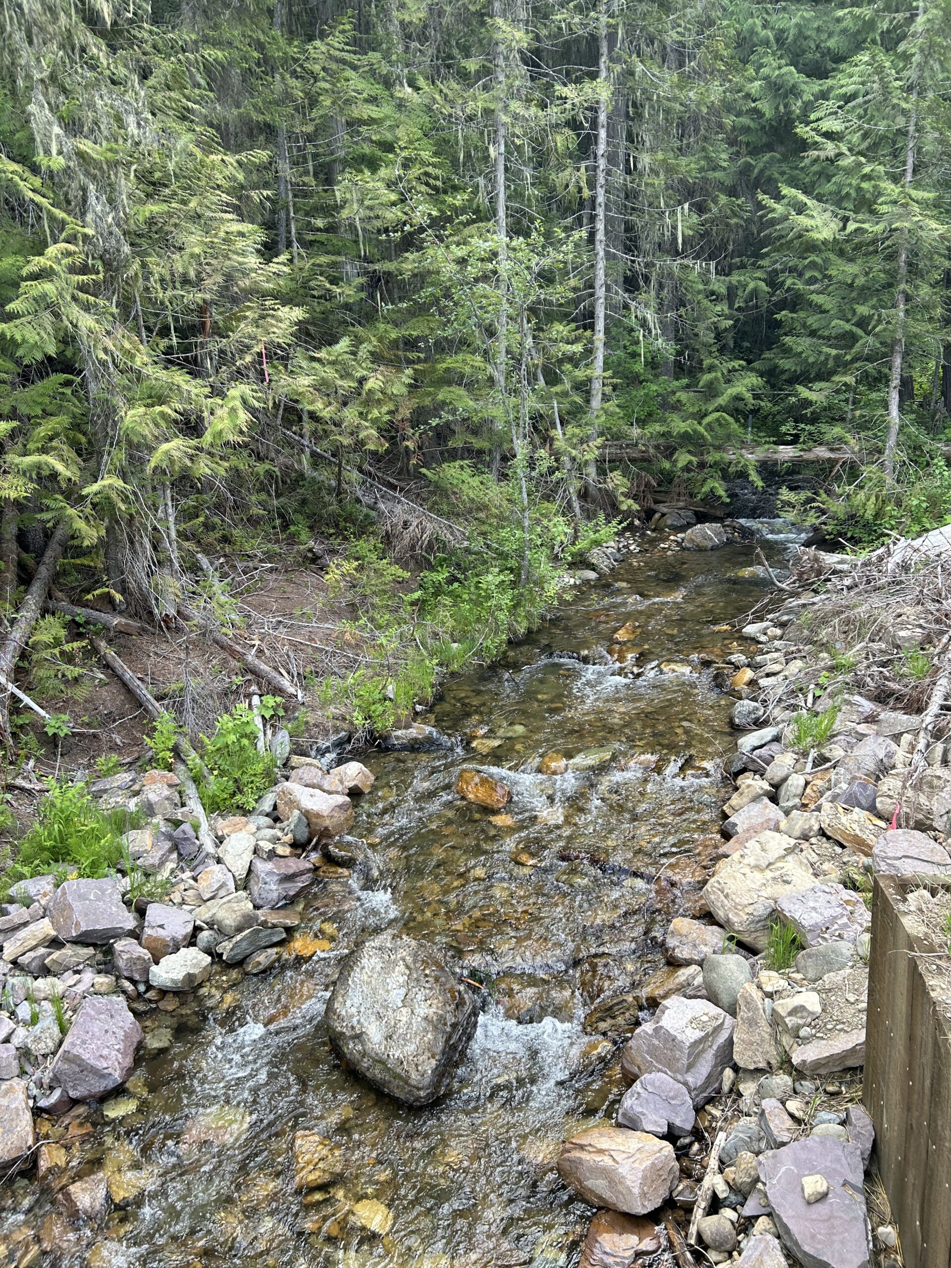
Most of the day’s ride wound through dense pine forests, often with a stream rushing nearby. The route included a few climbs, the most challenging a 7-kilometer ascent with nearly 400 meters of elevation gain, nothing too serious, but a satisfying way to close out the official route.
We rolled into Tobacco River Campground around 4 pm. It’s an official US Forest Service site, but with only six spots, a few eccentric campers, and access via a rough dirt road, especially tough for cars. Still, we needed a place to sleep, so we made do.
Tomorrow, we’ll ride to the border, then double back south to Eureka for groceries. From there, we’ll push on toward Whitefish. On Monday, we’ll arrive in town, pick up our bike boxes (already arranged with Glacier Cyclery and Nordic), and head to an RV park near the airport, at least, that’s the plan.
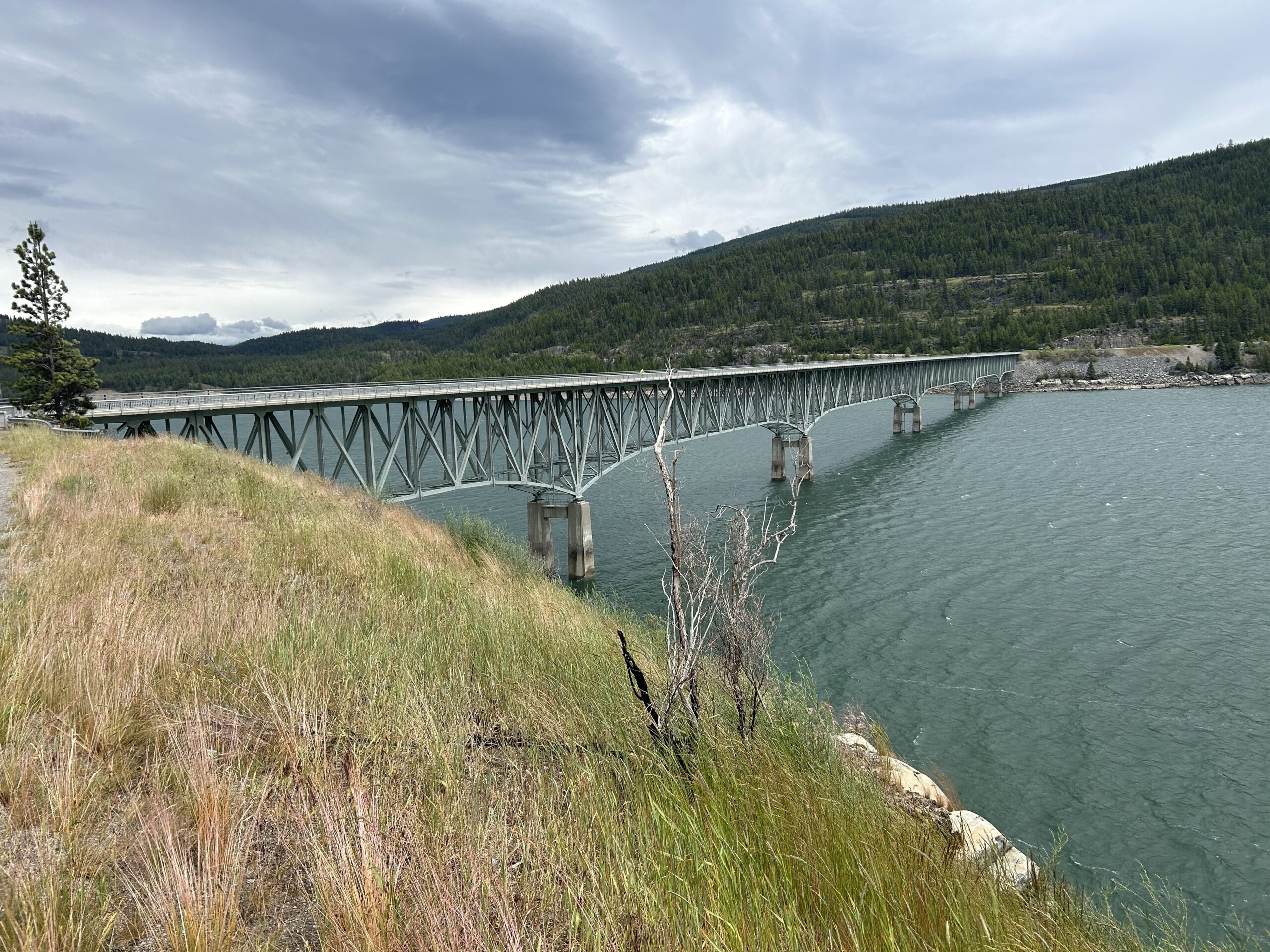
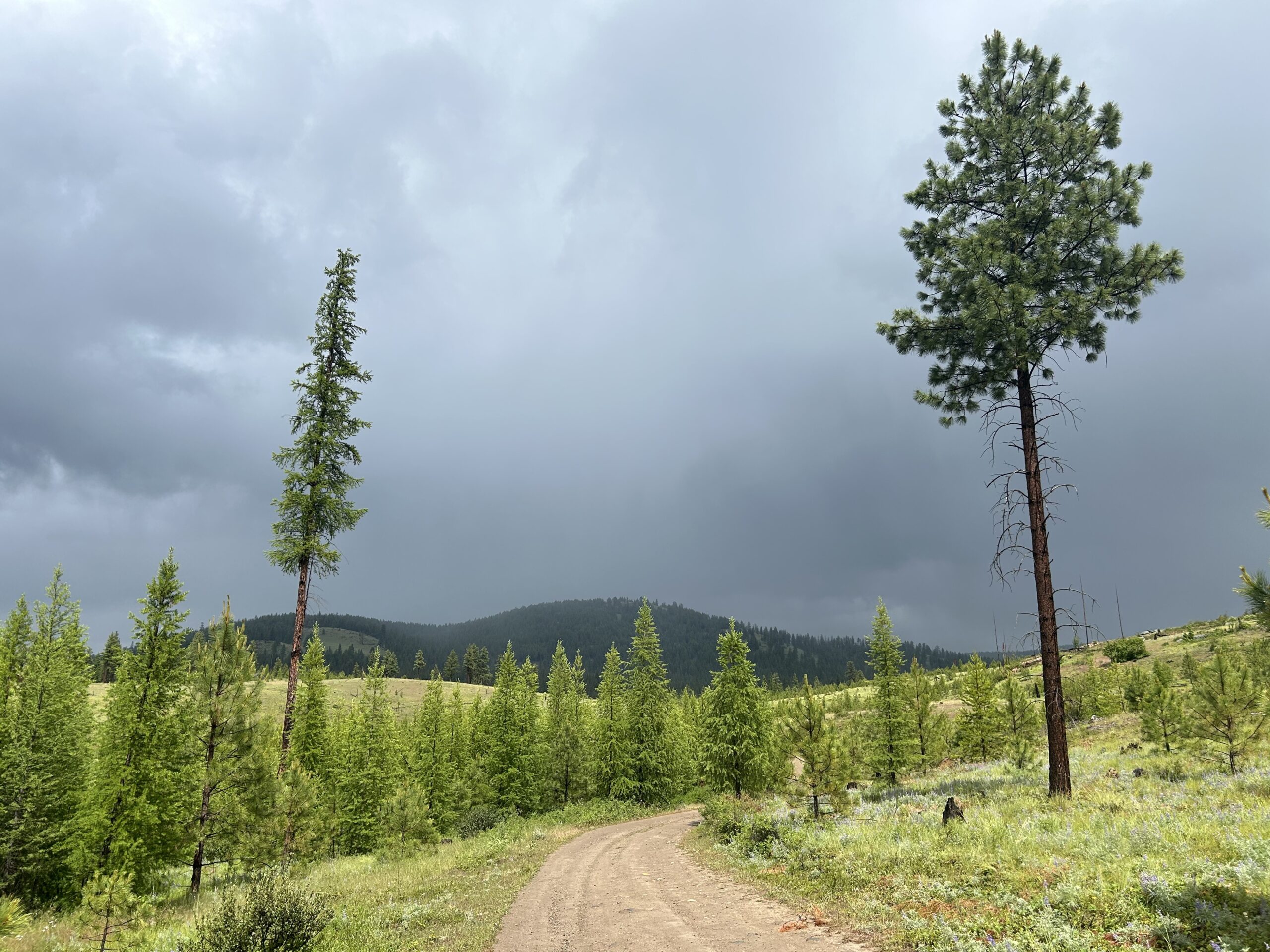
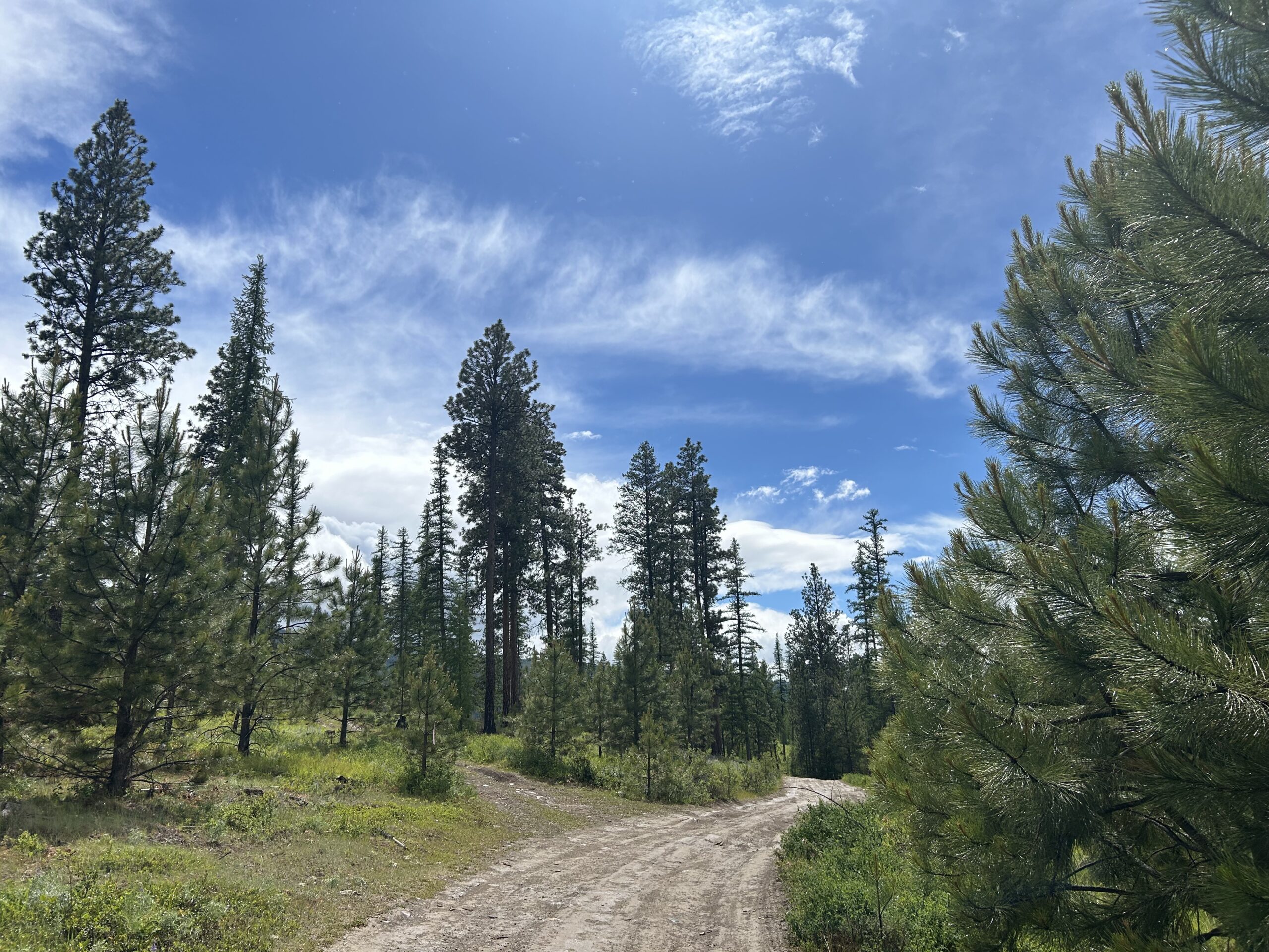
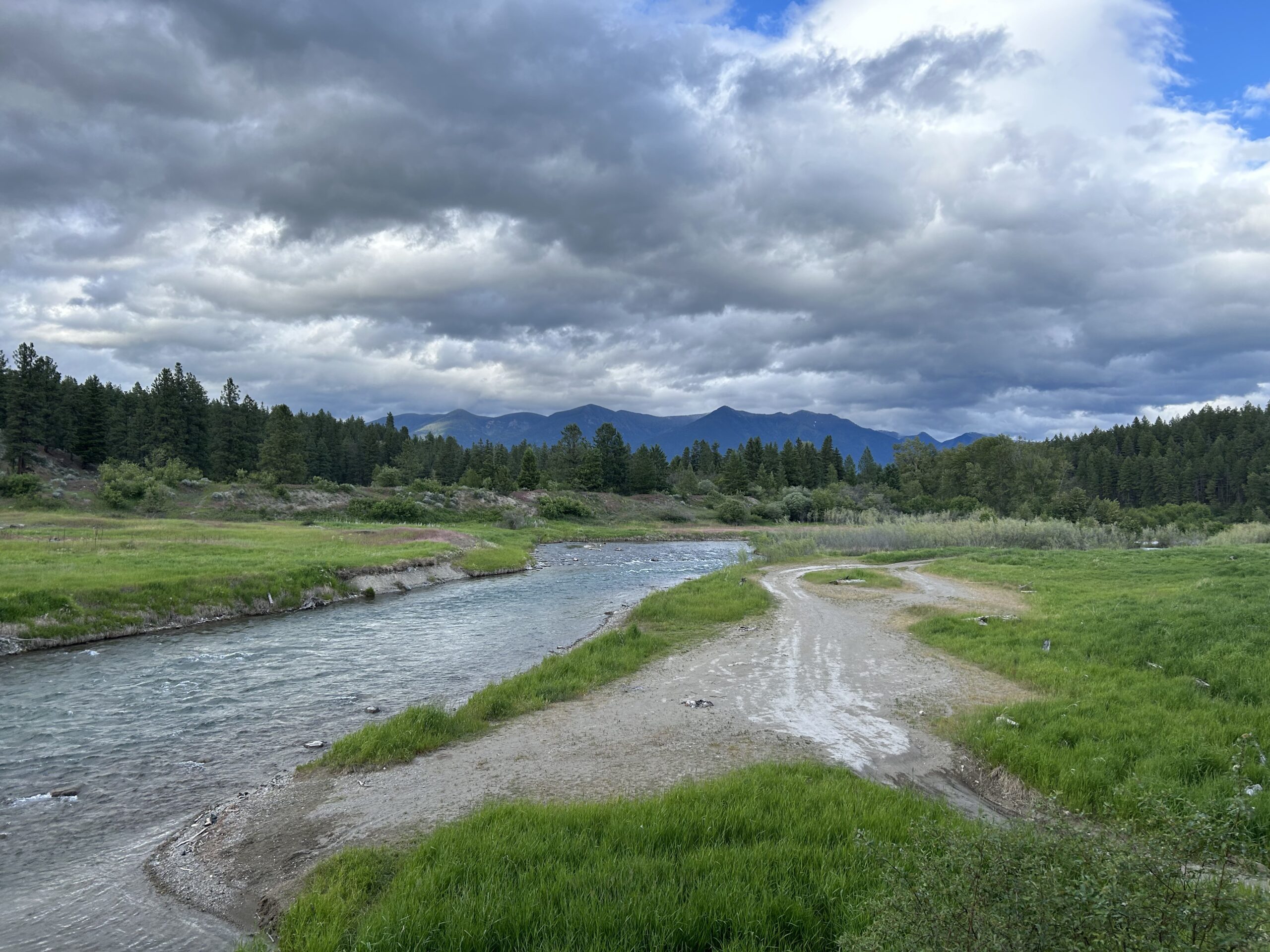
Gallery