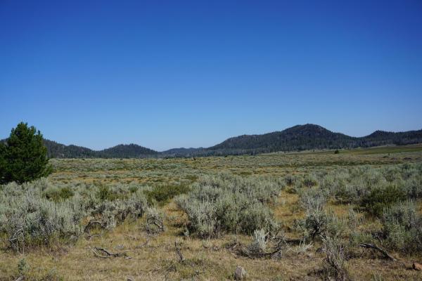
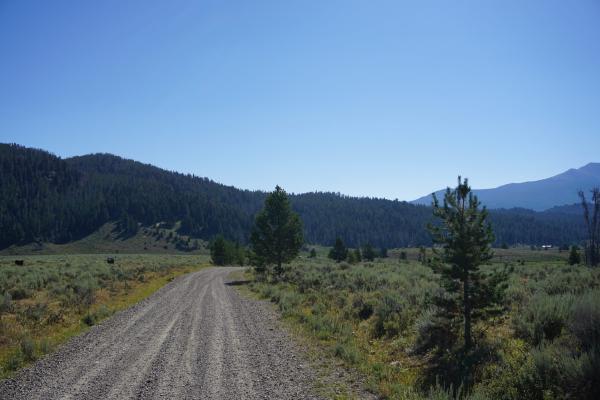
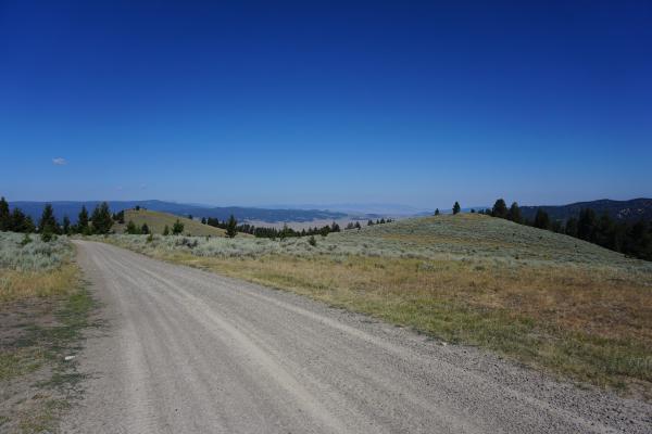
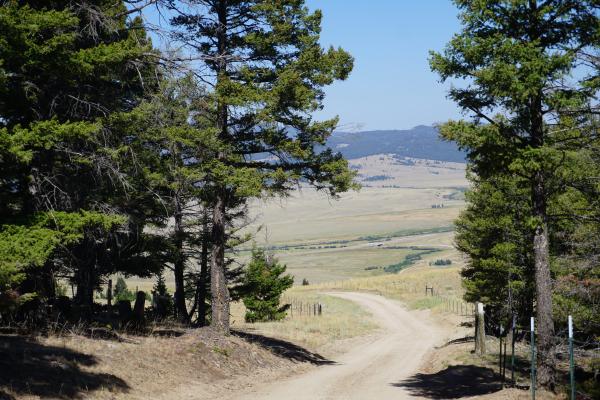
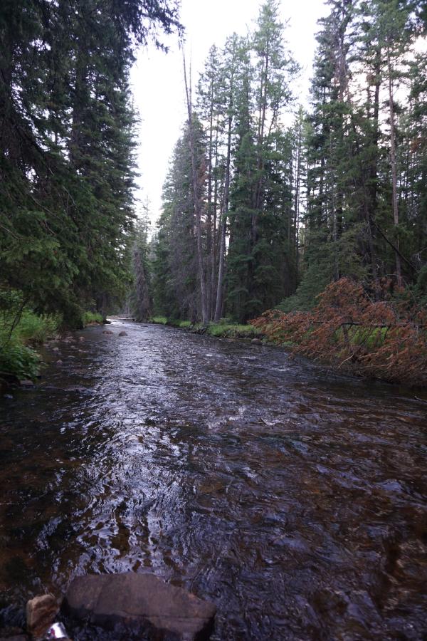
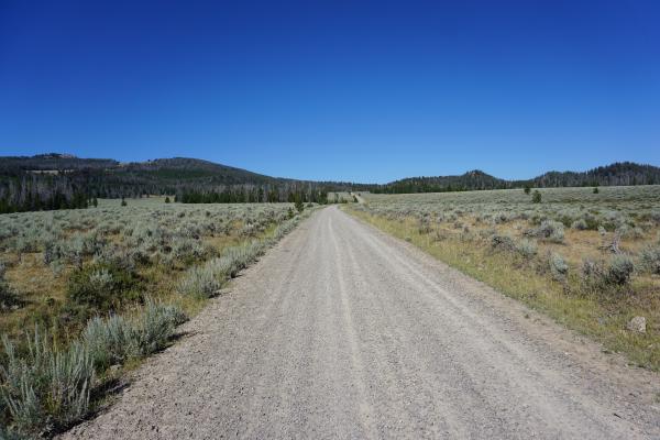
Today we rode from Butte, Montana, US to the 4th of July Campground, 12km after Wise River, Montana, US. We had very sunny weather with little clouds. Road conditions were included paved roads and gravel roads in good condition (besides some washboarding). Highlights of the day include the changes in scenery and passing Fleecer Ridge.
Riding statistics: on Sunday, August 14, 2022, day 14 on the route, it took 11:18h (08:07h moving time), between 7:01 and 6:19, to cover 107.40892 km (66 miles), including 1770 m (5807 ft) elevation gain, with an average speed of 13.0 km/h (8.1 mph), while reaching a maximum speed of 44 km/h (27.3 mph). During this ride the average temperature was 28 °C (82 °F) with a minimum of 8 °C (46 °F) and a maximum of 50 °C (122 °F).
Totals: So far, it took 3 days, 22 hours, 46 minutes, and 58 seconds of cycling time to cover 1304 km (810 miles), including 17185 m (56384 ft) elevation gain, with an average speed of 13.9 km/h (8.6 mph).
For this morning we had set our alarms clocks at 6am. Unfortunately, but of us were still tired. It was not a great night at the KOA campground in Butte. There was a lot of noise in the evening, drag races on a nearby road, and cars + RVs arriving late on the campground itself. All-in-all we had to push ourselves to get going. After cleaning up and eating a small breakfast we left the KOA campground. By following a partly closed bike path we were able to efficiently get back on the GDMBR route. While riding out of town had some more detailed views on the mining area, and although Sunday, people were at work.
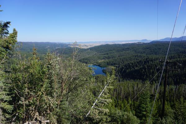
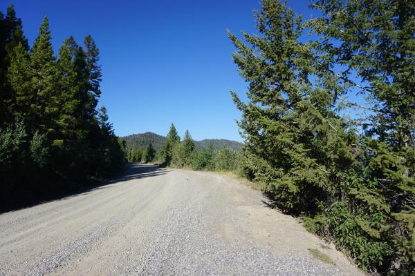
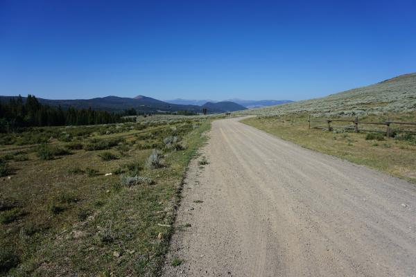
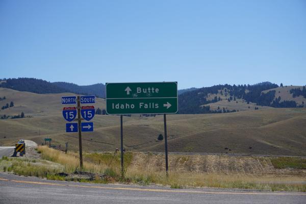
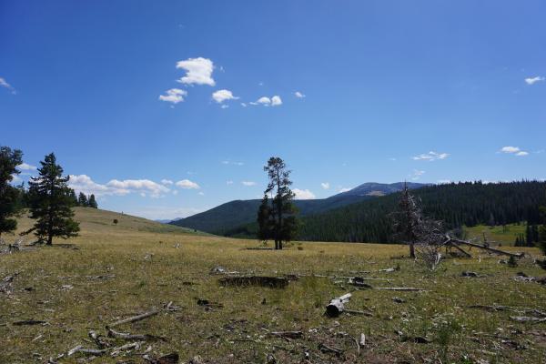
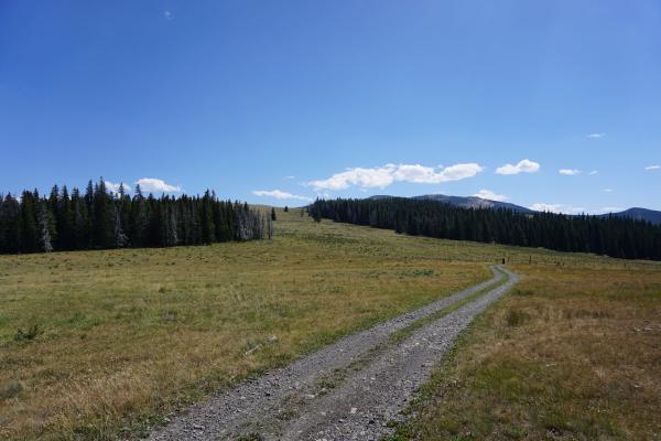
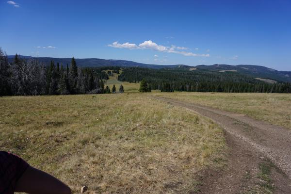
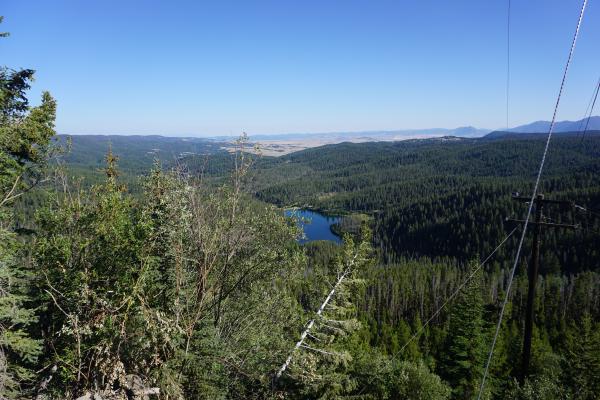
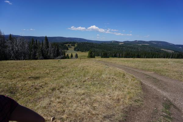
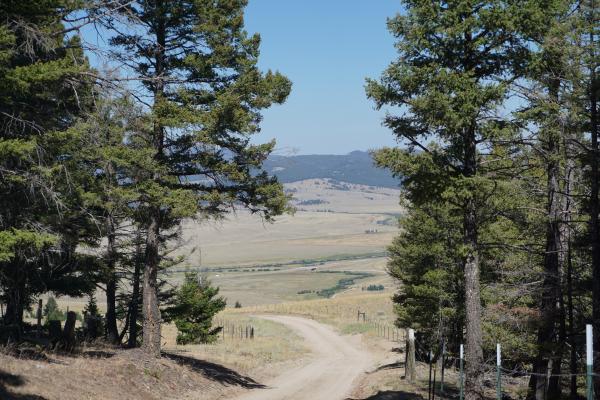
While riding out of town we still saw several residential areas and commercial buildings for a while. We were on a quiet road with a wide shoulder. After about 17km (10.5 miles) we turned onto a gravel road where we immediately had to start a steep climb. Fortunately, the steep section was not that long, and we continued a more gradual uphill on a pretty good road condition. After a while of climbing, we had an amazing view of mountains and forests. We could see the town of Butte very well in the far distance. We still could see the mining pits from where we stood. During our short break, Tom & Becky also appeared, and we had a short stop together. Anna and I were the first ones to continue the ride further uphill. The whole climb has been in the shade of mountains and trees, which kept the temperature very nice to cycle in. The scenery started to change from dense forests to more open areas, which meant we had more far distance views. After the top of the pass, we the downhill, which turned out to be spectacular. The road condition was good, so we could go fast. Sometimes a bit of caution was required for cause or sharp bends, but all-in-all we could make up some time. After a while of downhill we could see the interstate in the very far distance. It was here that Roger caught up and passed us after a little chat. We had clear views and small tiny trucks and cars. It made us happy because we could continue our downhill all the way to the interstate, which we needed to cross via a tunnel.
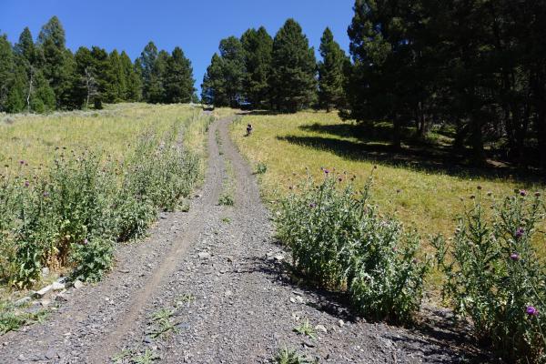
After about 4km (2.5 miles) on a gravel frontage road next to the interstate, we took a turn and went back into the direction of mountains. Looking at the elevation profile, the climb did not seem too bad, except for the last section. We read on the map that it would be hike-a-bike. The uphill had some steep sections and rocky roads but was very manageable. We had agreed with Roger and Tom & Becky that we would stop for a lunch break at a primitive campground about halfway the climb. It was a welcome break, and we could sit at a picknick table. Unfortunately, we could not find Roger. A little later it turned out he had been sitting a bit further and he showed us a water pump with very fresh water.
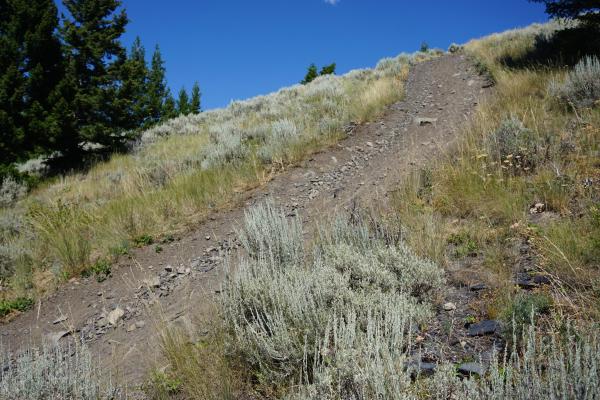
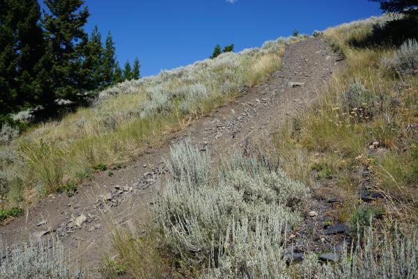
After the lunch break, we continued the climb towards the to, which was another 10km (6 miles). The temperature increased during the afternoon and hit became hot. When nearing the last part of the climb we saw that it would be a hike-a-bike, no doubt. While hiking and dragging our bikes, we wondered if it could be biked, even without the bags. N top of the pass we had to follow a dirt-road for a while until we reached Fleecer Ridge, an (in)famous section of the GDMBR. Only a few manage to ride the very steep section downhill. We did ride the downhill partially, but eventually decided to walk. The chance for an accident was just too large. The steepness of this hill is unbelievable, even pictures will not do it justice. Walking with the bike down was a challenge on itself. The back of the bike continuously wanted to slide down and make you fall if you did not watch out. Although quite a challenge, it was an adventure and we made it without any issue. I even walked a bit back up without a bike and could not imagine there are people who do the route in reverse order and carry bags and bike (often separately) all the way up. I’ve read that it takes several hours to get there with all gear.
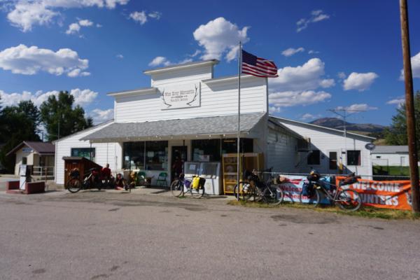
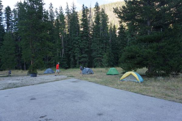
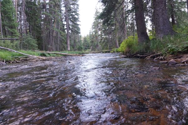
After continuing a downhill through a nice scenery, we turned onto a paved road. Wide road, wide should, and very quiet. After a couple of kilometers, we arrived in Wise River, a small settlement. There was not much. A couple of houses and a small, very old, mercantile. We desperately wanted and ice-cream and something to snack/drink. I bough an ice-cream, Frappuccino, and a big blue-berry muffin. It tasted well. We also bought additional food for the days to come, since we’re unsure what options we will have. Some other visitors of the store asked about our tour. Most of the locals know (a part of the route) and are always interested and can provide local information. There was even a very nice lady who wanted to buy some food for us. Since we already did that, we thanked her for her generous offer. Together with the Roger, Tom, and Becky, we decided to ride 19km (12 miles) further to the 4th of July Campground to meet there again and spend the night together. We ate dinner together, had some fun, hung our food, and then we all went to our tents to get a good night of sleep.
