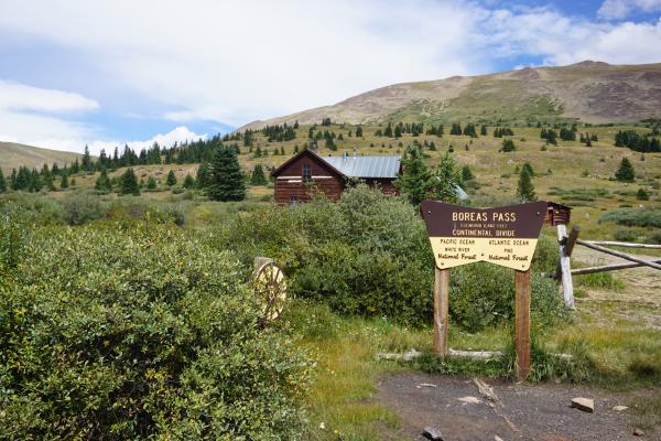
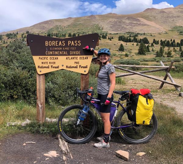
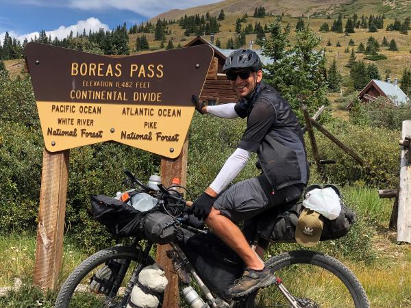
Today we rode from Silverthorne, Colorado, US to Hartsell, Colorado, US. The day started with sunny weather, eventually overcast, and later thunderstorms (we have not been rained on today). Road conditions included paved roads and gravel roads. Highlights of the day include Boreas Pass (one to second highest peak on the Great Divide Mountain Bike Route).
Riding statistics: on Sunday, August 28, 2022, day 28 on the route, it took 09:16h (07:14h moving time), between 9:06 and 6:22, to cover 111.22728 km (69 miles), including 1191 m (3908 ft) elevation gain, with an average speed of 15.0 km/h (9.3 mph), while reaching a maximum speed of 47 km/h (29.2 mph). During this ride the average temperature was 21 °C (70 °F) with a minimum of 11 °C (52 °F) and a maximum of 34 °C (93 °F).
Totals: So far, it took 8 days, 9 hours, 32 minutes, and 5 seconds of cycling time to cover 2958 km (1838 miles), including 34547 m (113349 ft) elevation gain, with an average speed of 14.9 km/h (9.3 mph).
After yesterday’s long day we decided not to set an alarm clock for this morning. Yesterday evening I had a hard time to get to sleep. It was a bit warm, after removing some of the bed sheets it was much better, and I fell asleep quickly. Although we were awake quite early, we decided to take it easy. It was already 9am when we left the hostel.
The sun was shining, and the temperature was comfortable. Before leaving Silverthorne, we wanted to have a breakfast. Unfortunately, the local Starbucks had closed for renovation, and we ended up at a 7-eleven where we bought a garbage breakfast. I am not sure if we already had so many calories at the start of the day. After breakfast we got on the route again and continued our ride.
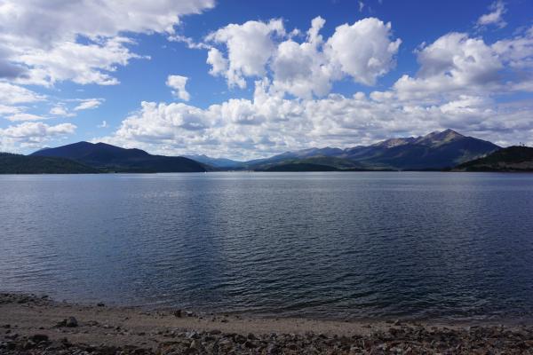
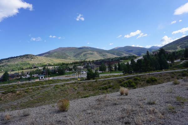
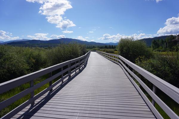
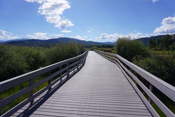
Getting out of Silverthorne required us to go up a steep hill. It had a highway on top, which we passed underneath, and at the other side was a large lake. From there on we rode on a nice bike path, which we would follow for a large part of the morning. The bike path would go around the lake, pass Frisco and even bring us to Breckenridge. There were many people hiking and biking on the bike path. On the lake there were also many people enjoying water sports like sailing, boating, canoeing, Stand Up Paddling, etc. In Frisco, the route left the lake and got us through downtown. It reminded me of a mini-Banff.
Next destination was Breckenridge. The bike path continued, and we followed a river for a while. After about 10km (6 miles) we arrived at Breckenridge. The bike path between Silverthorne and Breckenridge has been developed and maintained wonderfully. Breckenridge was again a nice town with that outdoor ambiance. In the center of the town were gondolas that could bring you to the top of the mountain. In winter these were used for ski activities. We did groceries and stopped at a local subway for a wrap, which we ate half, and kept a half for later that day.
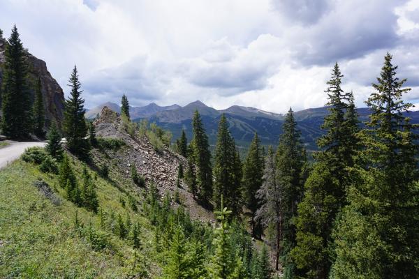
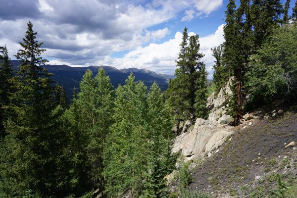
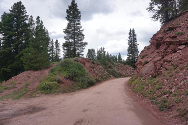
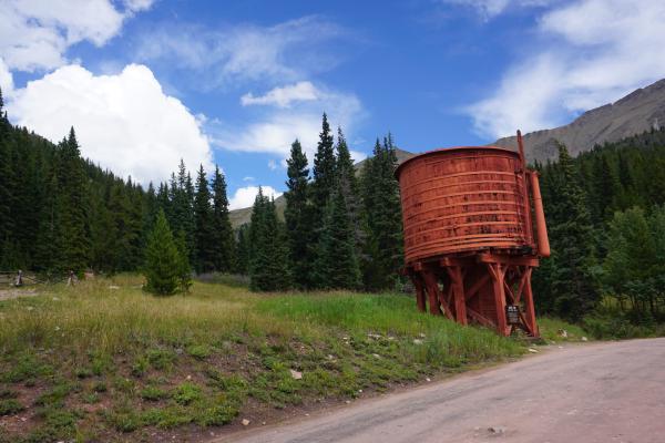
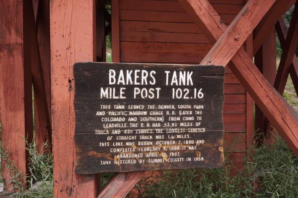
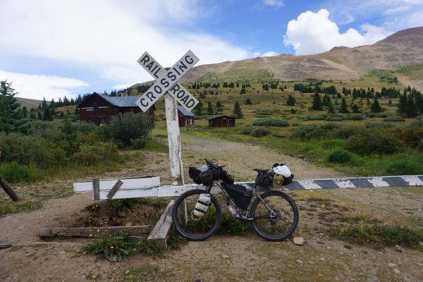
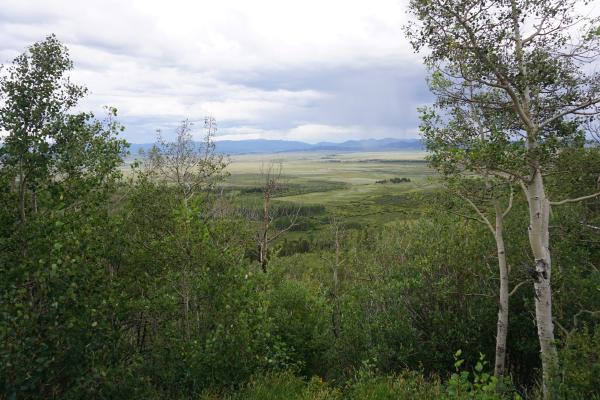
Already in Breckenridge the climb to Boreas Pass started. It would cover 16km (10 miles), had an elevation gain of about 600m (1969 ft), and would bring us to an altitude of 3505m (11500ft). The first 6km ( miles) included some steep sections, but it was all on pavement with little traffic. The next 10km (6 miles) was on a gravel road, of which the road surface got worse the further we got. This road to the top of Boreas Pass has originally been a railway. This meant it wasn’t that steep at all (compared to other passes we have climbed). Meanwhile thunderstorms develop all around us. We saw lightning and heard thunder but some we avoided the rain shower which we saw around us. On top of Boreas Pass we got our raingear. Not for the rain, but for the cold temperatures when going downhill. The downhill was sometimes fast, sometimes slow, due to road conditions. The road on this side of the pass was in much worse condition.
About 20 minutes after completing the downhill we passed a small settlement named Como. We already saw it from a distance during the downhill. There were no services and we just pedaled on.
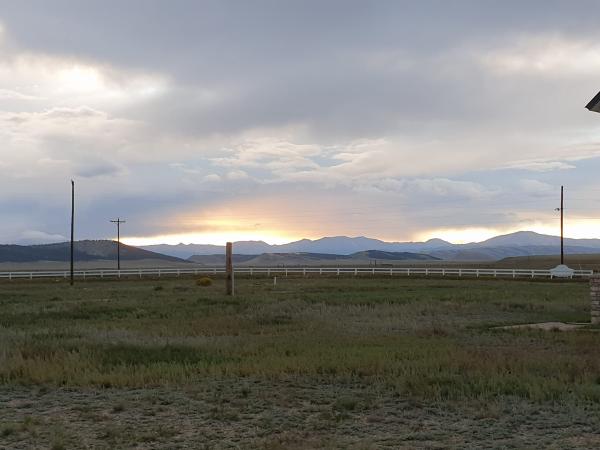
Not much later we turned onto a wide gravel road which we had to follow for over 30km (18.5 miles). All day there has been a strong wind, but this road was on an open area. The wind was brutal but mostly in our favor (cross-side, tailwind). At some point we got warm because we still had our rain gear on. After taking it off we continued our ride, but I felt a huge pain in my right knee. All-of-a-sudden I could not put any pressure on my right pedal anymore. For a 15 minutes I tried peddling with mainly my left leg, walking, resting, but nothing helped. Putting pressure on the right knee continued to hurt a lot. I was also afraid making things worse. Somehow, I started to wonder if this would be my last day on the GDMBR. I took a few Advils from Anna, and we decided to move on very slowly. I mainly used the left leg to pedal, and I walked steep sections. The remaining 20km (12.5 miles) on this road were difficult and took much longer than planned.
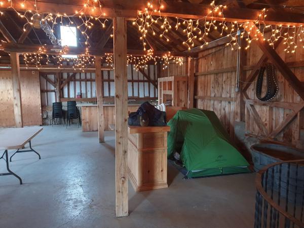
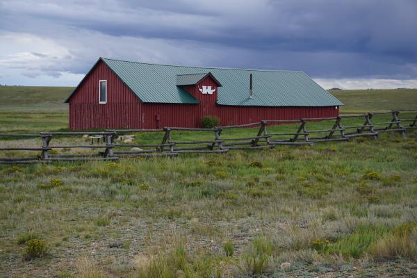
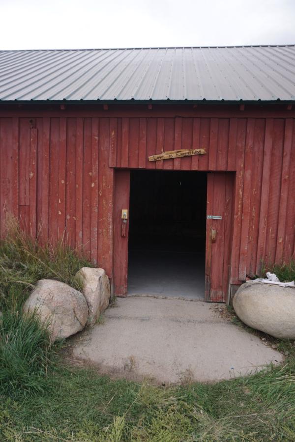
At the end of the gravel road, we got on a paved road, and it was only 20 minutes cycling to Hartsel . We decided to not camp behind the local bar in Harstell but rent a spot in a barn at a farmhouse nearby. We expected bad weather for the night and would rather be inside a shelter with our tents. Bonus, we could take a shower at the farmhouse as well.
