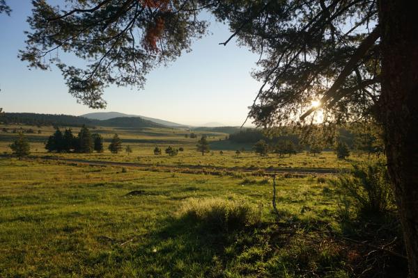
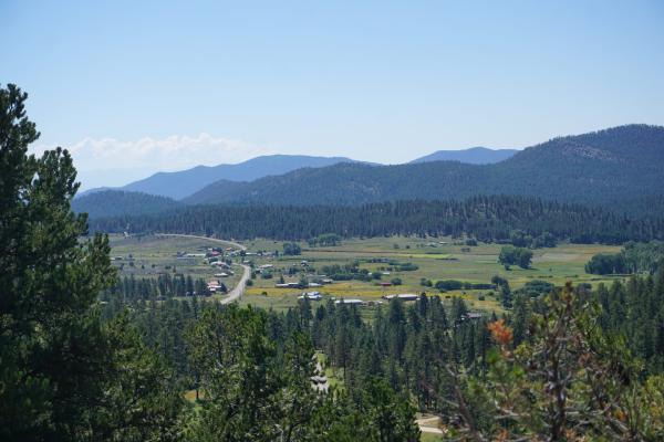
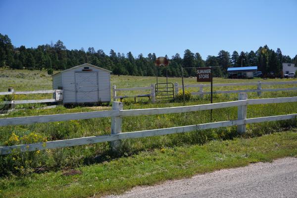
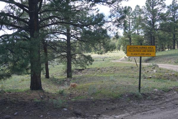
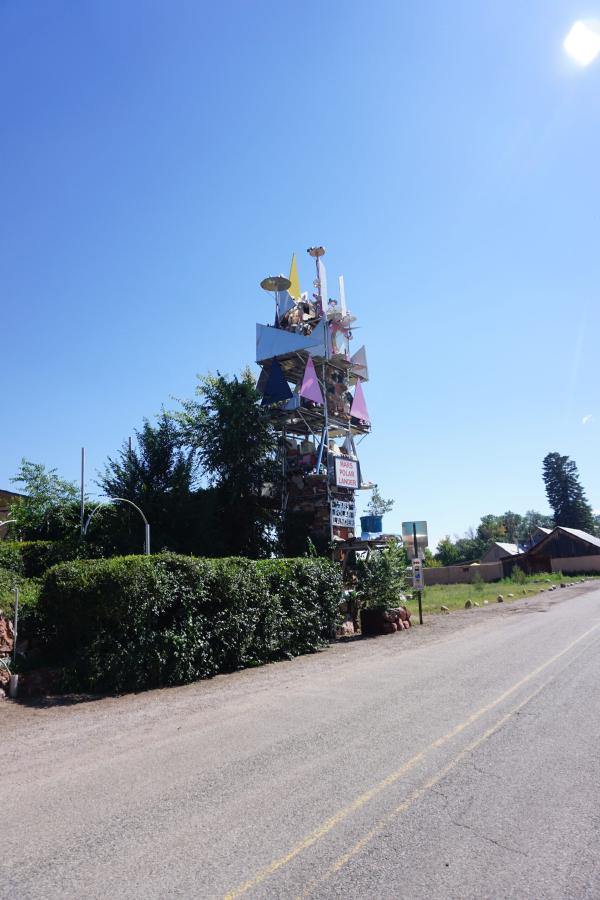
Today we rode from Informal Campground, New Mexico, US to Abiquiu, New Mexico, US. Sunny weather all day. Road conditions included paved roads, gravel roads (good and bad). Highlights of the day include the changing scenery, our stop for the night (Retreat at the River).
Riding statistics: on Sunday, September 4, 2022, day 35 on the route, it took 09:29h (07:36h moving time), between 8:21 and 5:51, to cover 107.94803 km (66 miles), including 1228 m (4029 ft) elevation gain, with an average speed of 15.0 km/h (9.3 mph), while reaching a maximum speed of 45 km/h (28.0 mph). During this ride the average temperature was 27 °C (81 °F) with a minimum of 5 °C (41 °F) and a maximum of 43 °C (109 °F).
Totals: So far, it took 10 days, 8 hours, 4 minutes, and 12 seconds of cycling time to cover 3606 km (2241 miles), including 43293 m (142044 ft) elevation gain, with an average speed of 14.8 km/h (9.2 mph).
Thanks to some great people we have slept comfortable inside while the rain was pouring outside, and several thunderstorms passed by. We did not set any alarm for this morning; we would see when we got awake and wanted to leave. We took our time and where glad for the facilities in the building that we were allowed to use. During breakfast, I ordered a new tire from Amazon, although the current one is still OK. It will be delivered to the post office in Grants. I’m just a little concerned of the roads in New Mexico and the impact on my rear tire. Once ready we left a generous donation for the food & drinks, and the kind hospitality we got from them. We hope they can open their business soon. While still on the porch we saw other bike-packers riding in the direction we would be going as well. Later, when passing several of them, we found out it was a group riding the GDMBR organized by the American Cycling Association (ACA). There were several Dutchies in the group.
Although the sun was shining, there was also some light rain. A paved road took us out of Horca, and almost immediately we had to start a climb towards Marshall Pass. The climb covered 9km (5.5 miles), and had an elevation gain of 500m (1640ft). Because of the paved road the climb turned out to be quite easy. The weather was great. At first it looked there would be more rain, but eventually there was none, and the sun was great again.
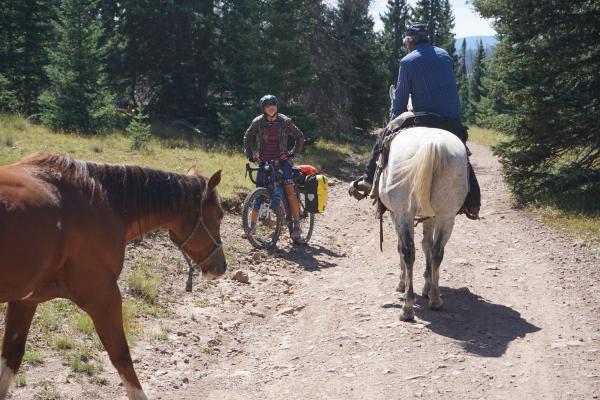
After passing Marshall Pass, we had a great downhill. Beautiful weather, beautiful scenery, and a paved road. Could it be easier? After a while we took a turnoff onto a gravel road. There we met the first two of the group, a Dutch guy (67) and a Brit (at least the same age if not older). The Dutchman talked about the downsides of being in an (organized) group. Hearing that, we were happy with our approach which was still working out perfectly.
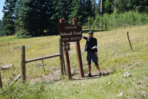
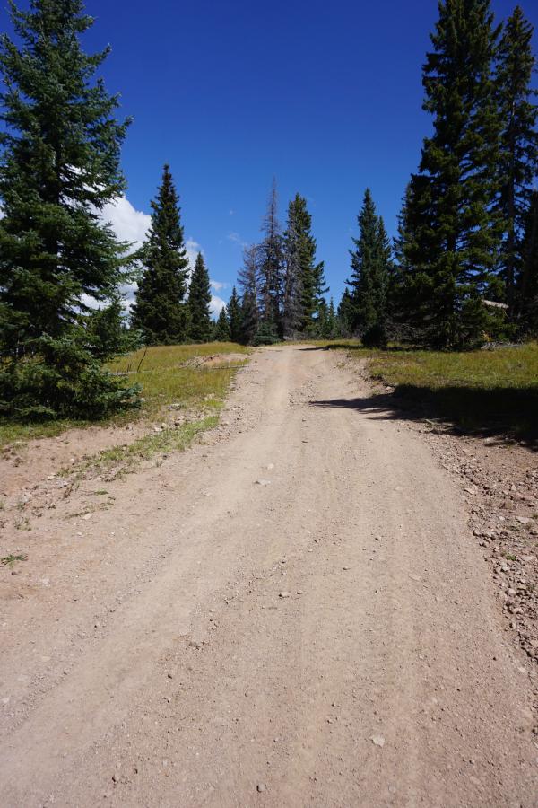
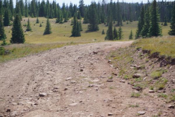
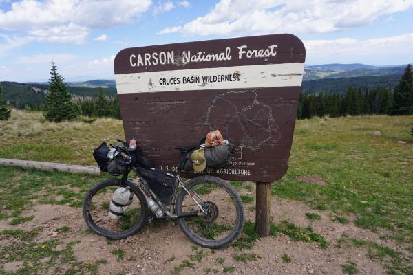
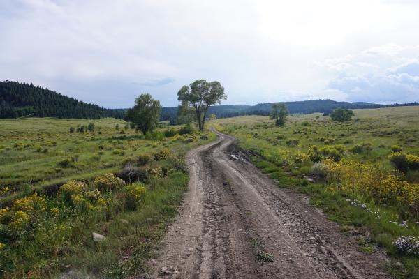
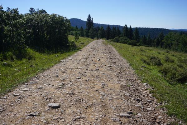
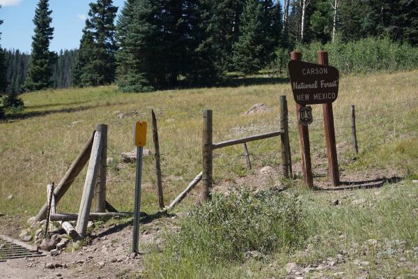
After our little chat, we continued the gravel road. It was a winding road with many short steep sections. And suddenly we saw a sign that we were entering New Mexico. Wauw, expected but unexpected. Colorado has been good for us. Almost immediately it became clear that all the stories of the road conditions in New Mexico were true. All afternoon we have been working very hard to cover some distance. The roads were indeed bad. Steep, rough, etc. Many sections are just dried up mud with big boulders in there. If it rains you would have an issue. And when it is dry, it is very hard to just cycle on it. We also had a climb of about 1km (0.5 miles), which was just a very steep path of big boulders. We had to hike-a-bike all the way. Step-by-step we had to drag ourselves and the bikes uphill. Meanwhile being carful not to slip and damage the bike or hurting ourselves. Eventually we made it to the top and decided to have a short break and eat something. There was a Dutch couple having a break as well. They were also part of the ACA group. At that same moment, a huge thunderstorm was developing which worried us a bit.
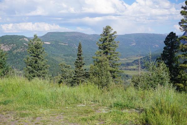
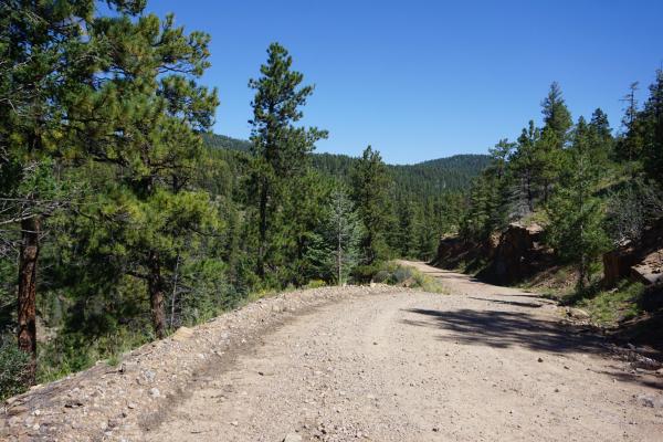
After finishing our lunch, we continued our ride. The scenery was great, and the remoteness was awesome. While being remote we still some quite some people, e.g. the cycling group, but also several ATVs were riding the trails in the area. The roads continued to be a challenge and include some additional steep sections. After a while we passed the Lower and Upper Lagunitas campgrounds. This is where the group would be spending the night. It was still early in the afternoon, and we were not yet finished for the day.
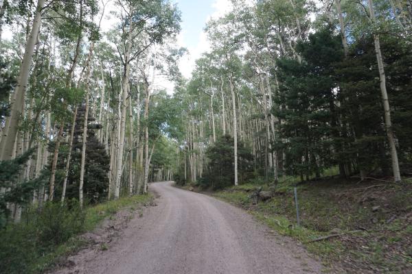
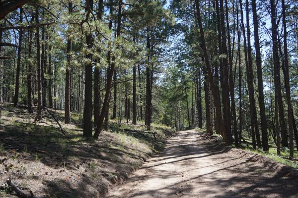
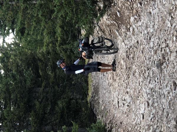
We continued our ride and entered an open area. Lots of wind and the road surfaces got very bad. A lot of loose sand and washouts. We had to pay a lot of attention to the road while cycling. At some point we met three other GDMBR cyclists. Another Dutchman, and a British couple from Newcastle who were riding the GDMBR on a tandem. We had a short chat and moved on. As it got later in the afternoon, we were thinking were to setup camp. The open area did not look appealing at all. Fortunately, we ended up in a forest again, which offered protection against the wind. In this area there were already more people with their RVs because of hunting season and Labor Day weekend.
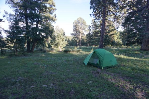
At the end of the afternoon, we passed an informal campground that we’ve seen on the map. There were a few other people, and we decided that we would spend the night here as well.
