Today we rode from Abiquiu, New Mexico, US to dispersed campground 22km before Cuba, New Mexico, US. Sunny weather with little clouds, thunderstorms building up in the afternoon (no rain for us). Road conditions mostly very difficult. Highlights of the day include riding a 20km climb on the most difficult road so far, pitching tent in forest before Cuba (probably last forest of the route).
Riding statistics: on Monday, September 5, 2022, day 36 on the route, it took 12:32h (09:59h moving time), between 7:22 and 7:56, to cover 102.41821 km (63 miles), including 2225 m (7300 ft) elevation gain, with an average speed of 10.0 km/h (6.2 mph), while reaching a maximum speed of 34 km/h (21.1 mph). During this ride the average temperature was 28 °C (82 °F) with a minimum of 11 °C (52 °F) and a maximum of 41 °C (106 °F).
Totals: So far, it took 10 days, 18 hours, 4 minutes, and 4 seconds of cycling time to cover 3709 km (2304 miles), including 45518 m (149345 ft) elevation gain, with an average speed of 14.6 km/h (9.1 mph).
We decided to not set an alarm but wanted to get up around the time the sun rises (6:30am at this moment). As expected, we were awake somewhere between 6am an 6:30am. We cleaned up and got our stuff. We would first stop again at Bodes for morning snacks and to see if we needed some additional water. Anna left a little before I did, she craved for a hot coffee and couldn’t wait. Not much later, I arrived as well. We ate breakfast at the parking lot and enjoyed the morning sun.
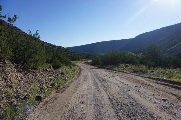
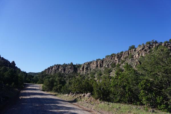
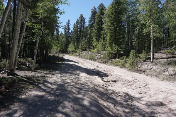
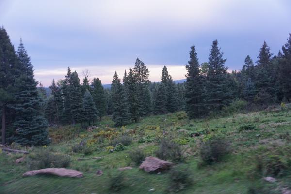
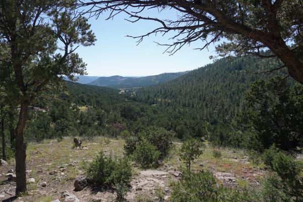
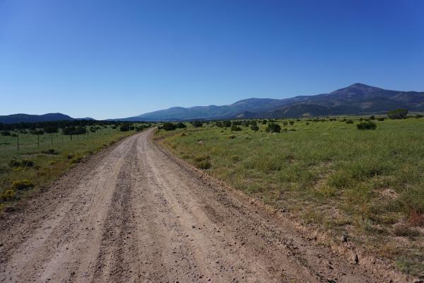
Today would be a challenging day with lots of climbing. Only a couple of minutes after leaving Abiquiu, we already started the first climb. A 10km (6 miles) long climb, with an elevation gain of 600m (1969ft). The first half-an-hour we could see parts of Abiquiu in a far distance. After that the road started winding through the mountains. Not only bend-after-bend, but also up-and-down, including many steep sections, some even required hike-a-bike. The scenery was amazing, and we enjoyed every minute. Because of the road surfaces we progressed slowly, and eventually we reached the start of the second climb.
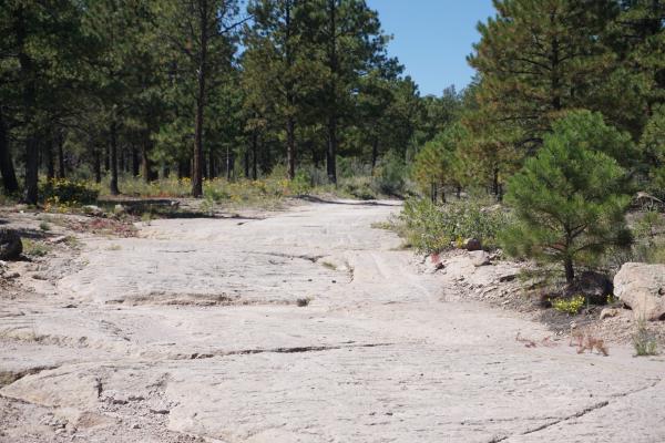
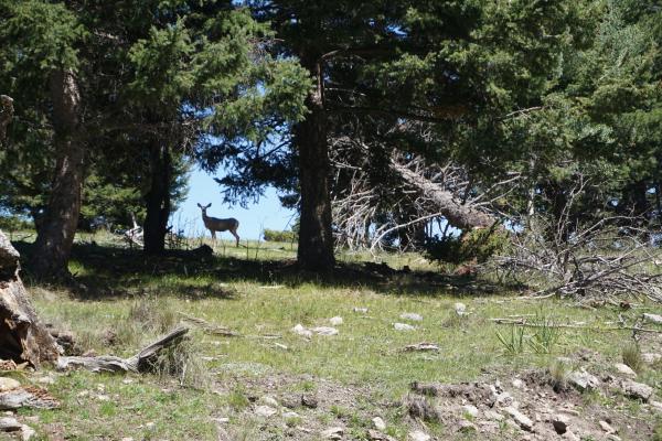
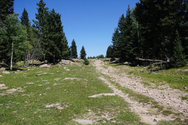
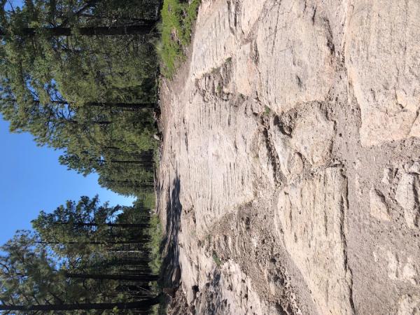
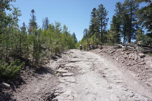
This time the climb would be 20km (12.5 miles) long and an elevation gain of 900m (2953ft). The grade itself was not bad at all. It was the road surface that made it a completely new challenge, from very rough gravel, into rocks and boulders, and eventually the entire trail was based on giant boulder. We had to ride from giant boulder to boulder, and in between there were patches of very loose sand. About halfway the road surface changed again, big loose rocks (baby head type). Hardly rideable, and you had to be very careful not slipping or sliding. That we be bad for bike or body. The next type of surface included big rocks in dried up clay. You could cycle over along the sides of the road, but these were so steep the bike was continuously sliding down to the middle of the road (especially if you touched the brakes). After finishing the second climb, it was already 2pm, and we decided for a lunch break. Almost all day we hardly have seen any person. Although the climbs were challenging, and sometimes even difficult, we had enjoyed it both a lot.
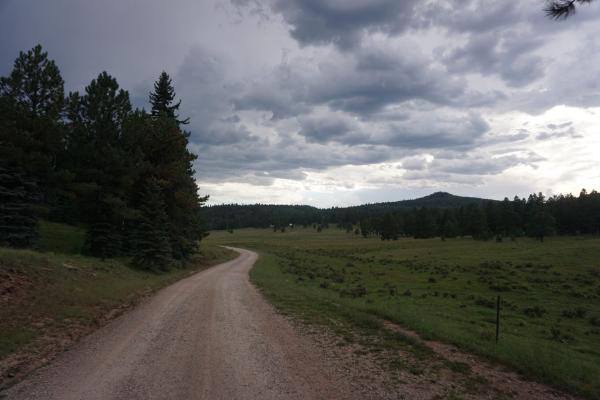
After our lunchbreak thunderstorms started to develop and there were several moments that we though one of the storms would get us. Clouds got darker, winds increased, rain already showed in the distance. Fortunately, we avoided them all, although there were a few close calls. At a certain point we decided that we would try to make it to Cuba, the next small town. There was one more climb to go, and from there it would be all downhill to a paved road leading to Cuba. We got renewed energy and pace increased. We did a climb of 6km (3.5 miles) and quite some elevation gain in 45 minutes, and we were very satisfied with our progress. We were ready for that downhill! It turned out to be a big bummer. There was no real downhill. For sure, at the elevation profile it looked all downhill but in reality, it was all the down and up, down and up. This took way more time than we expected and soon we started to run out of daylight. Eventually the sun was gone, and it got darker and darker. We were mainly riding in a westward direction so that helped a little, but eventually it was too dark to ride safely. We saw a mile marker showing what we still had about 8km (5 miles) to the paved road. From there it was still 15km (9 miles) to Cuba.
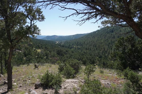
Mostly for safety reasons we decided to stop at the next suitable camping spot. Not much later we saw a flattish section and there was a fire ring (build of rocks) so we knew people have been staying there before. Meanwhile it had become pitch dark. With the help of the flashlight functions on our phones we checked out the site and it looked all OK. With the use of our headlamps, we setup our tents, got ourselves cleaned a bit, ate some food, hung our food, and went into our tents.
