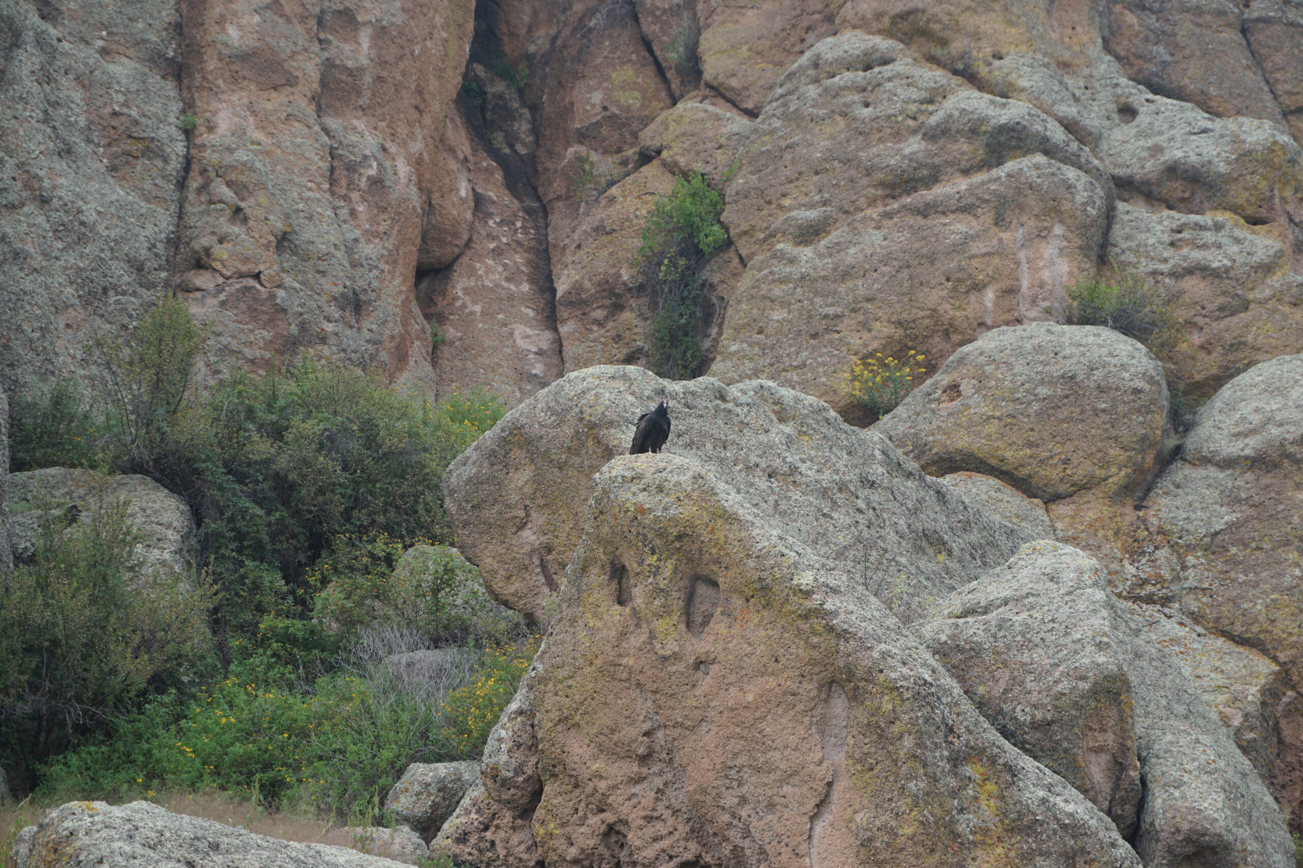
Today we rode from Valle Tios Vinces Campground, New Mexico, US to Beaverhead Work Center (firebrigade center), New Mexico, US. Same weather as yesterday, often sun, but not too hot. Road conditions included mainly New Mexico off road such as gravel, loose sand, rocks, and washboarded road. Highlights of the day include seeing the forces of nature at the Bursum road.
Riding statistics: on Friday, September 9, 2022, day 40 on the route, it took 11:26h (08:00h moving time), between 7:26 and 6:53, to cover 111.14051 km (69 miles), including 649 m (2129 ft) elevation gain, with an average speed of 14.0 km/h (8.7 mph), while reaching a maximum speed of 36 km/h (22.4 mph). During this ride the average temperature was 27 °C (81 °F) with a minimum of 9 °C (48 °F) and a maximum of 38 °C (100 °F).
Totals: So far, it took 11 days, 23 hours, 18 minutes, and 42 seconds of cycling time to cover 4204 km (2612 miles), including 49038 m (160894 ft) elevation gain, with an average speed of 14.9 km/h (9.3 mph).
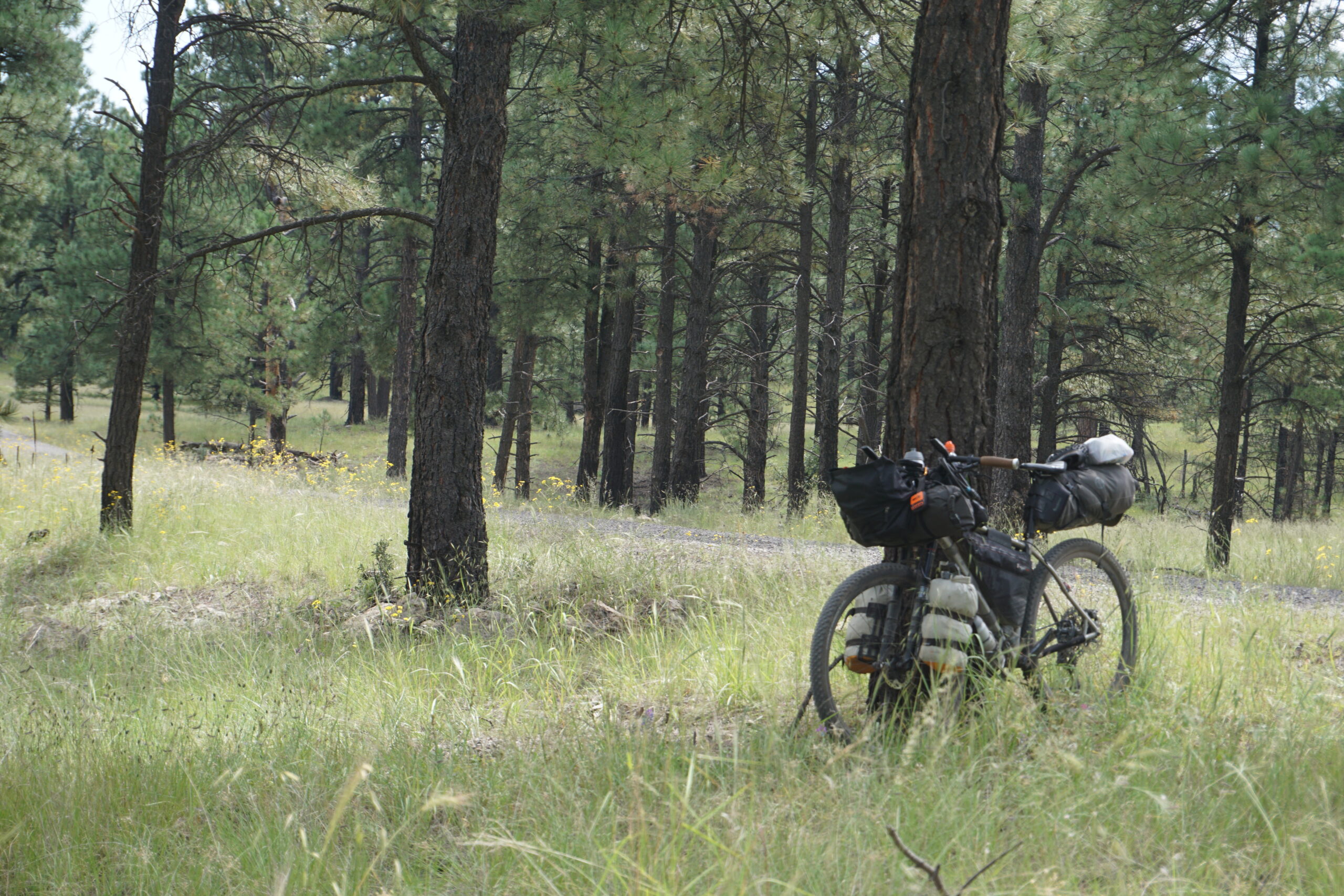
Because we expected along day again, we set our alarms again at 6am. It was still dark when our alarms went of, and we needed our headlamps to break up camp and prepare the bikes. While doing so, we had a short chat with two hunters that were leaving camp. We also saw one ATV leave the campground. At all the other RVs it was still very quiet. Meanwhile the sun was already rising behind the mountains and the sky lit up beautifully. After eating a few snacks for breakfast, we left the campground.
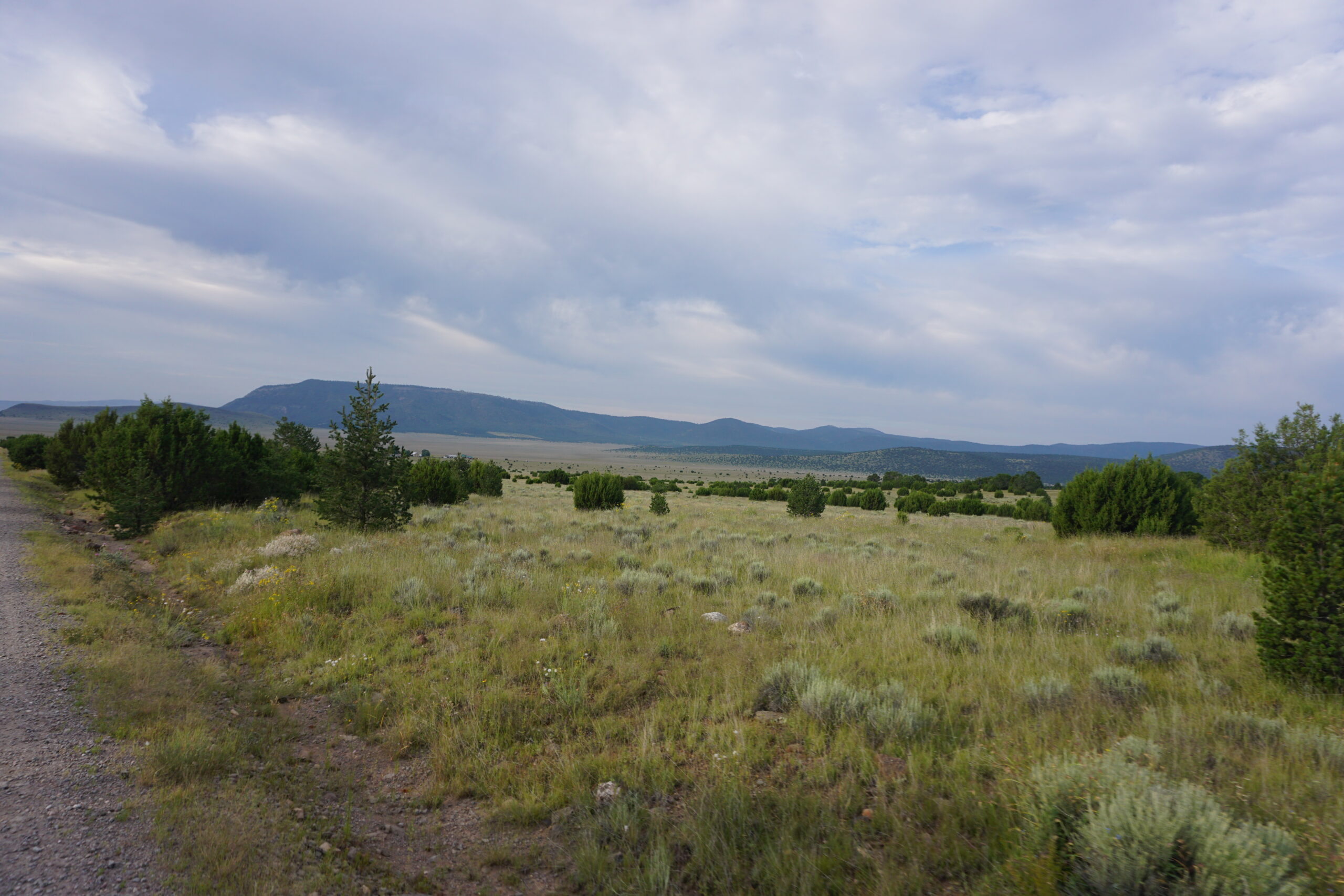
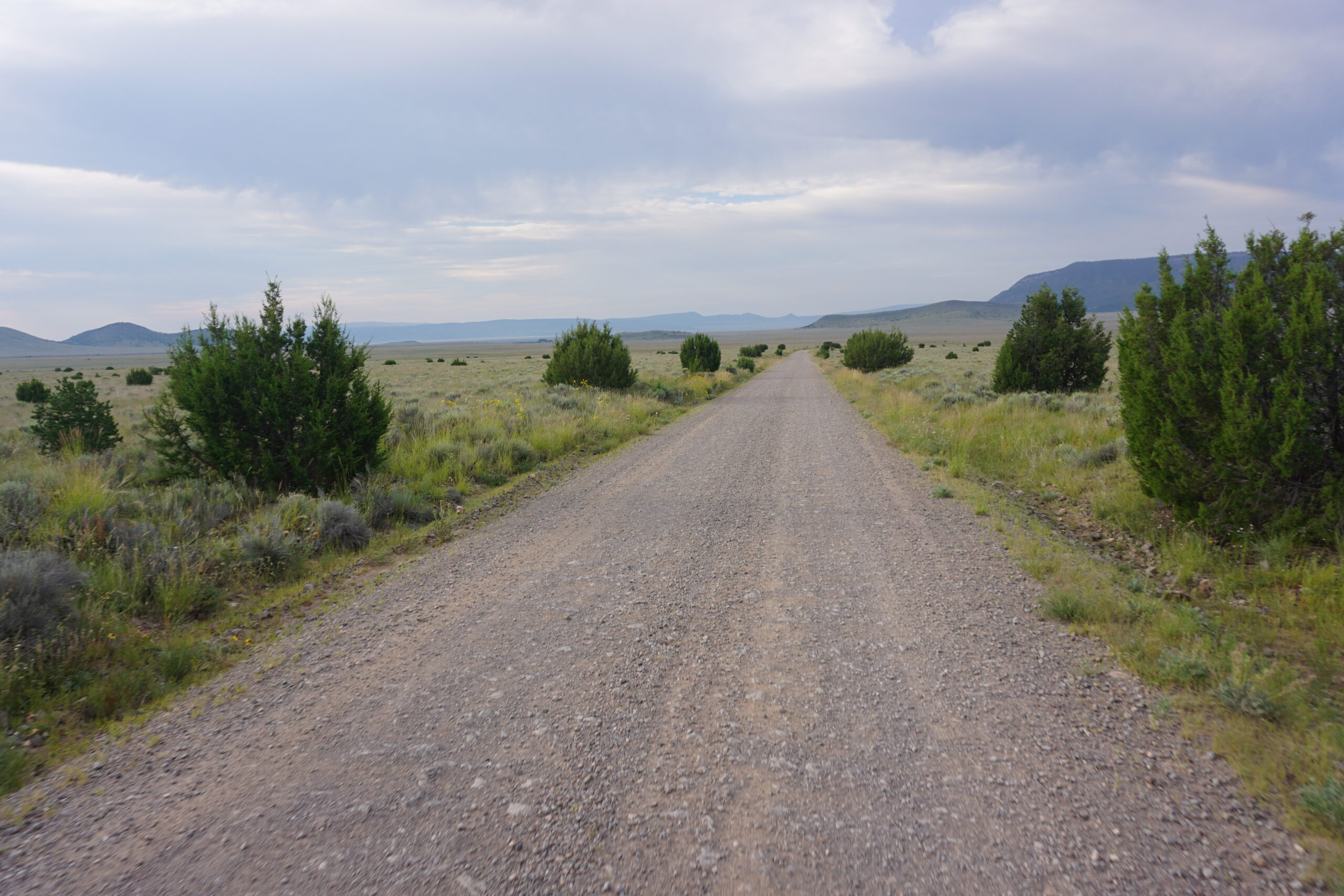
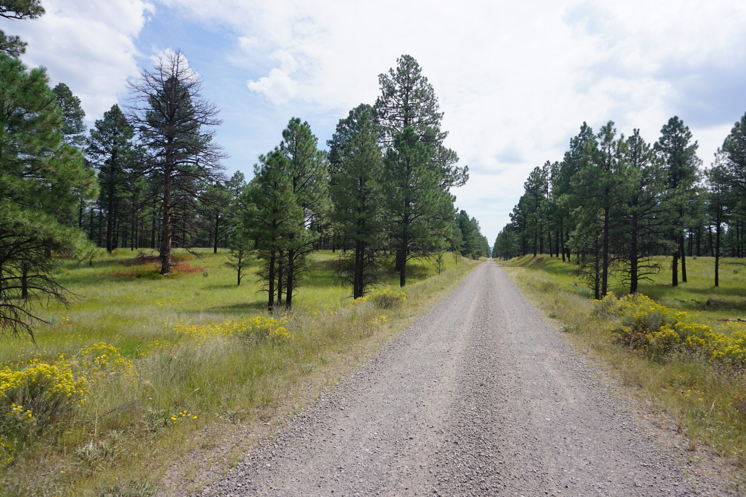
It quickly became clear that the campground was located at the top of the hill. This meant we could start the day with a long downhill, much appreciated. Gradually the scenery changed from forests to more open areas, and the mountains changed into smooth hills. Eventually we came to a paved road, which we had to follow for a short moment, take a turn off, and continue a gravel road at the other side.
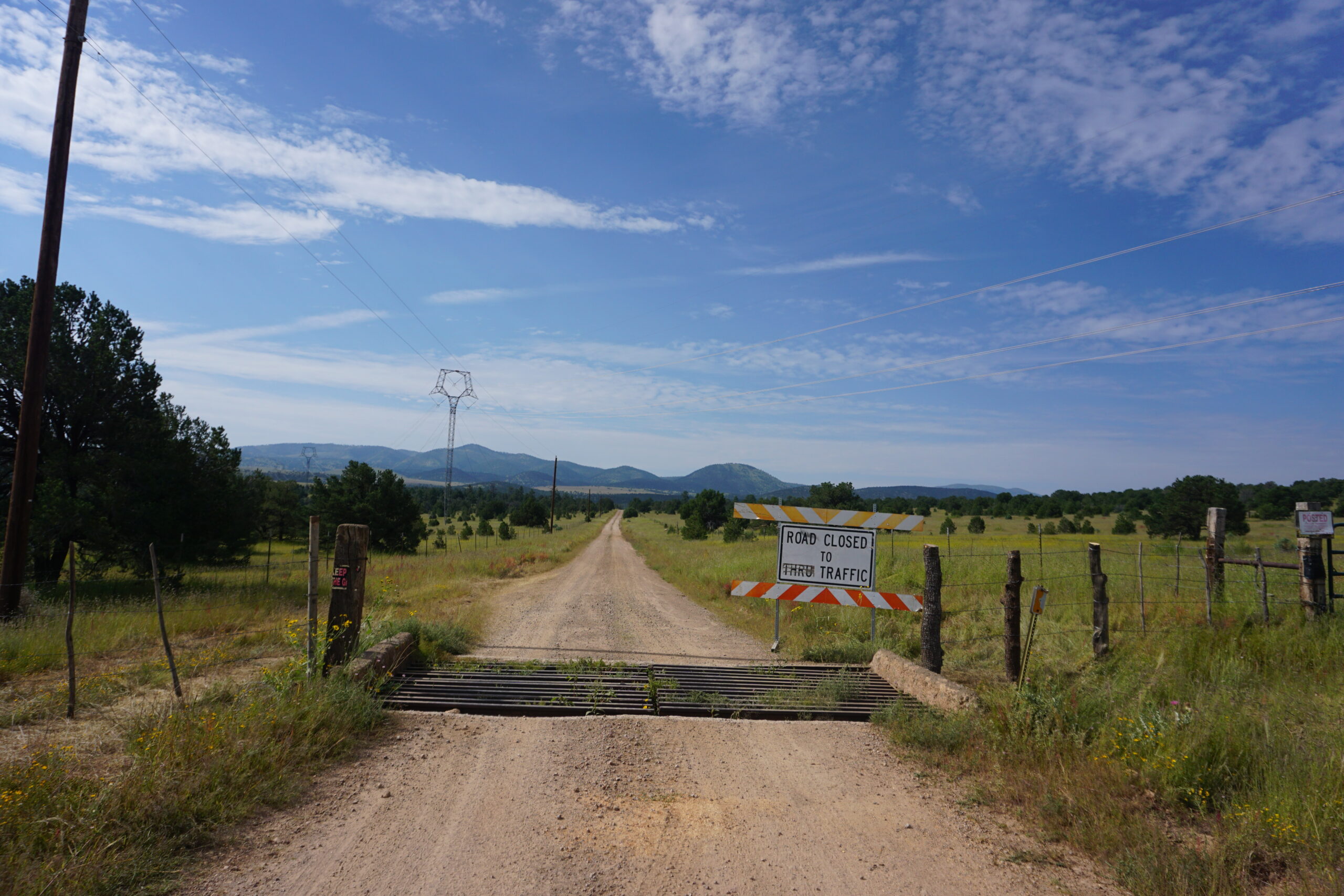
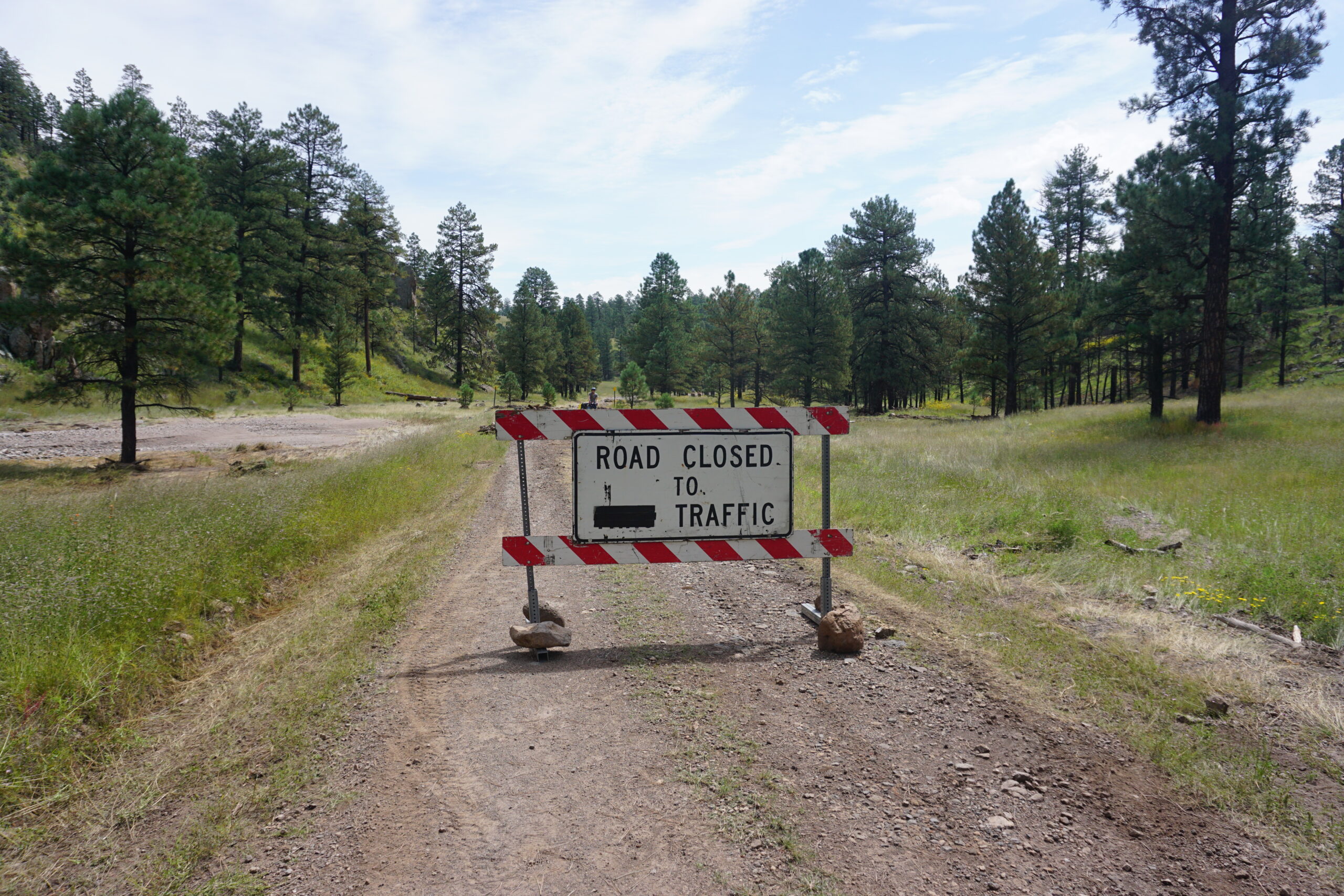
Just after the turn off, there was a big illuminated sign telling us that the road would be closed after 27km (17 miles). We figured that this would be for vehicles and that cyclists would not have too much trouble, so we continued. The gravel road was in a good condition, and we made good progress. When passing a wetland area, we were attacked by very aggressive mosquitoes. They drove us nuts and we were even doubting to put on our rain gear. Fortunately, when we got back at a higher elevation, the mosquitoes disappeared.
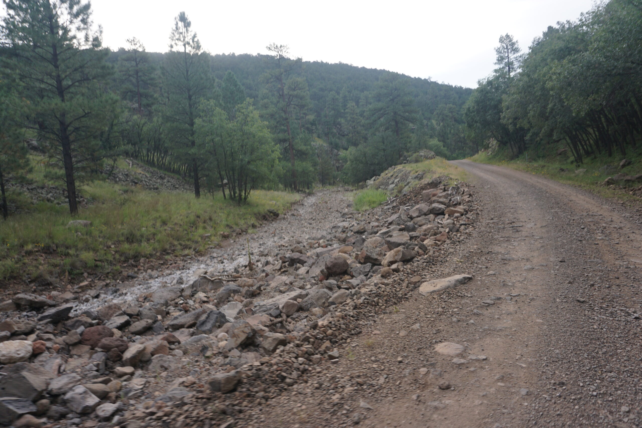
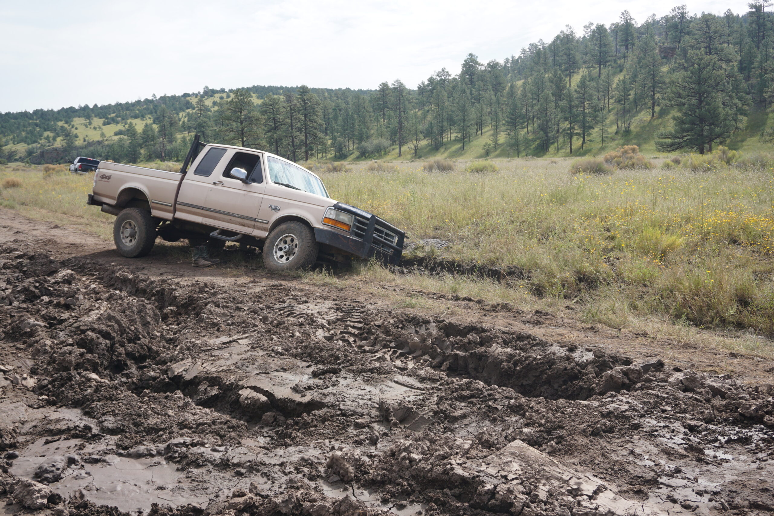
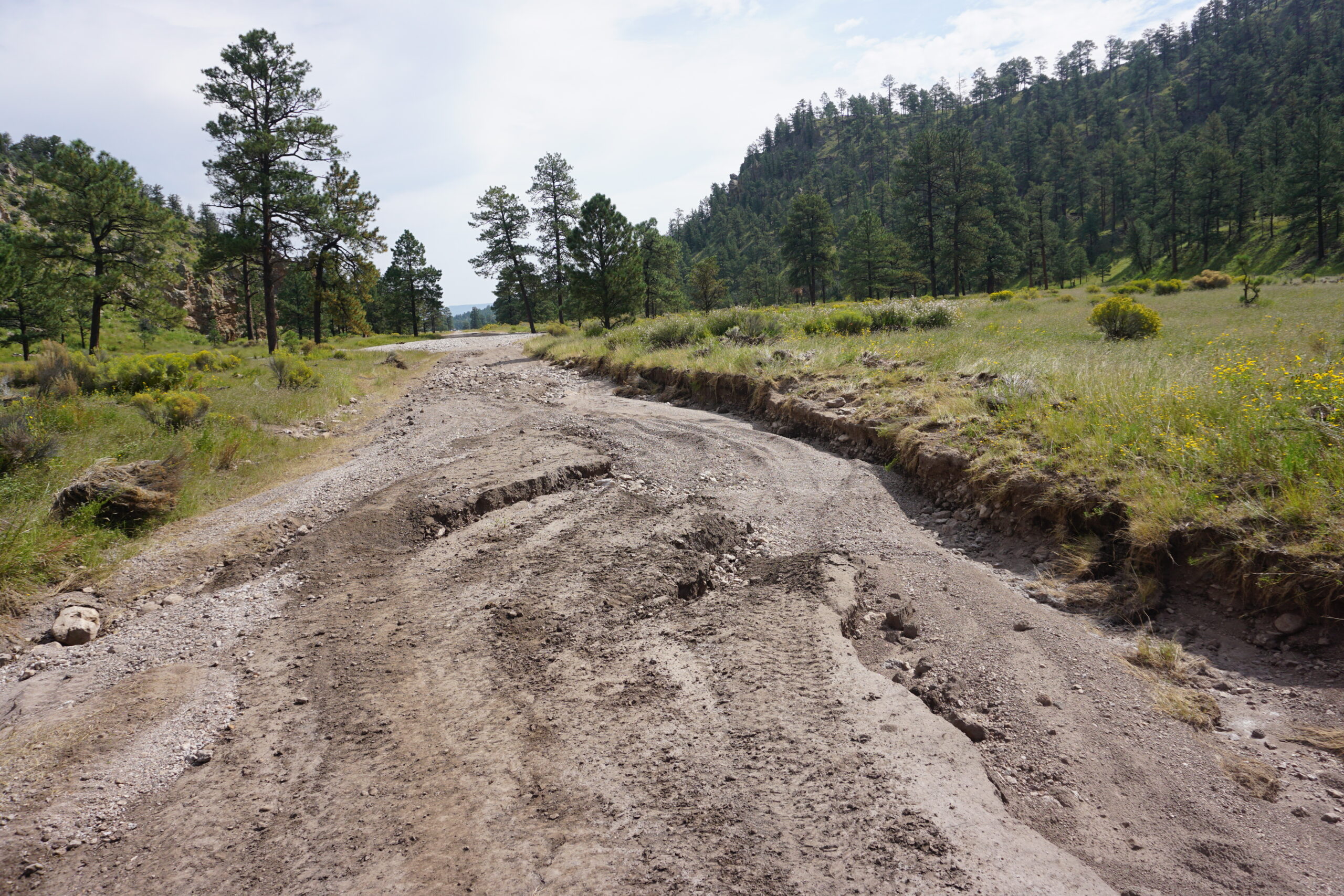
After a while we arrived at a road closed sign, which we could easily pass. A little further we could see that the road had been damaged but it was all repaired. I did not take long before things changed, drastically. Whole parts of the road had been washed away leaving thick layers of mud, which was still drying out. We saw marks of cars that had been pulled out, but there were also cars that were left behind because they got stuck. Fortunately, we could still cycle most of the time on the better sections at one side.
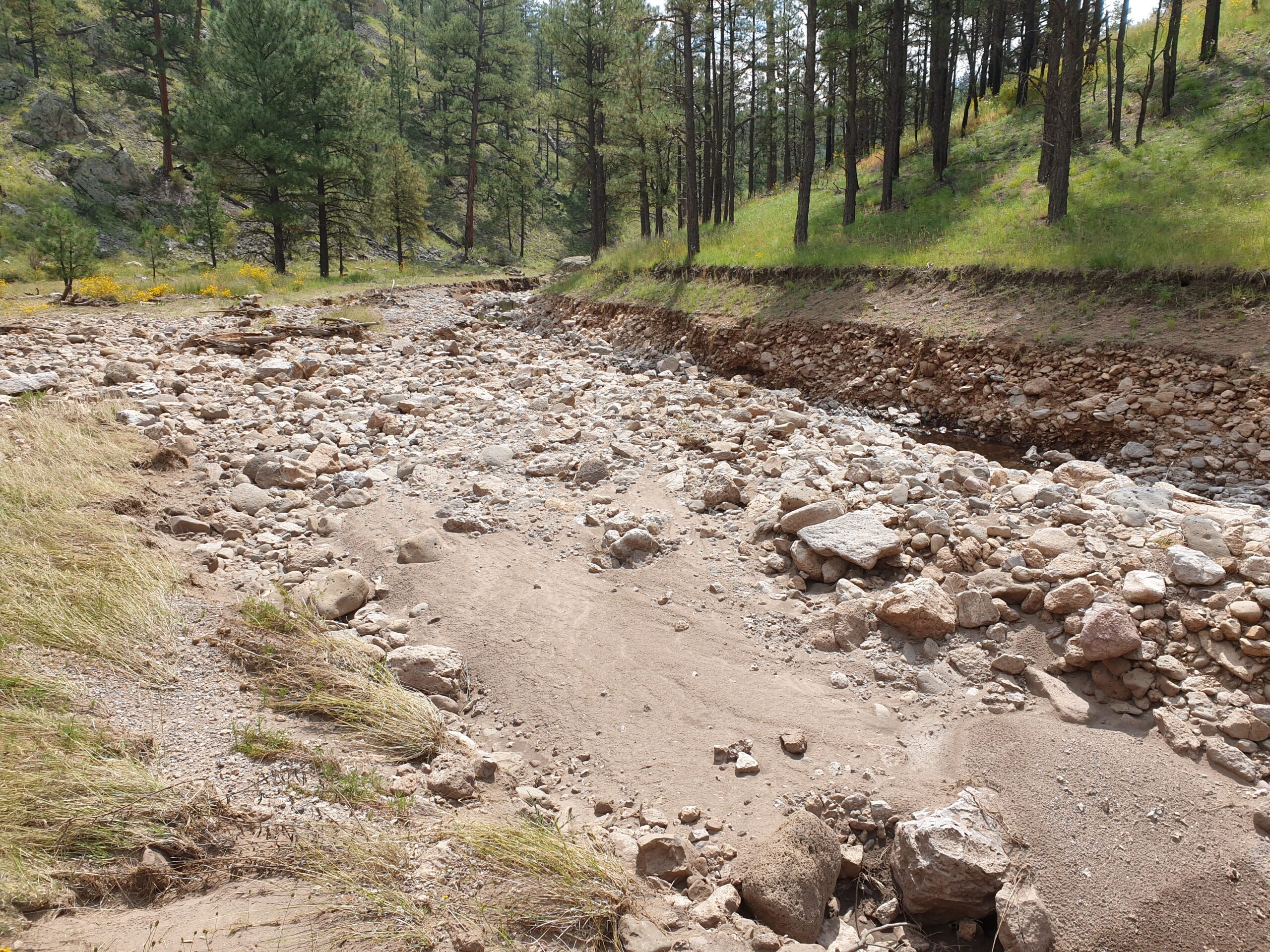
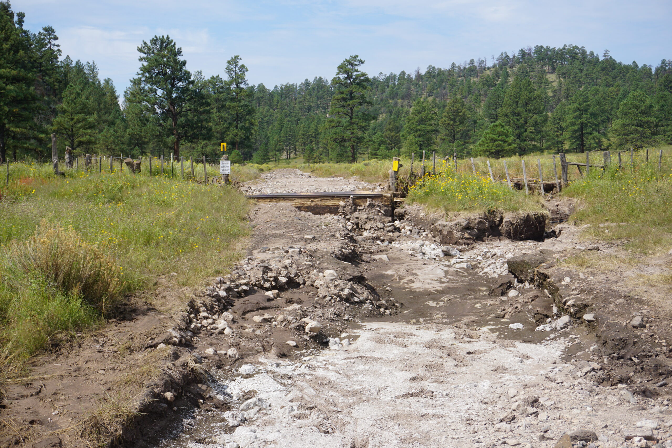
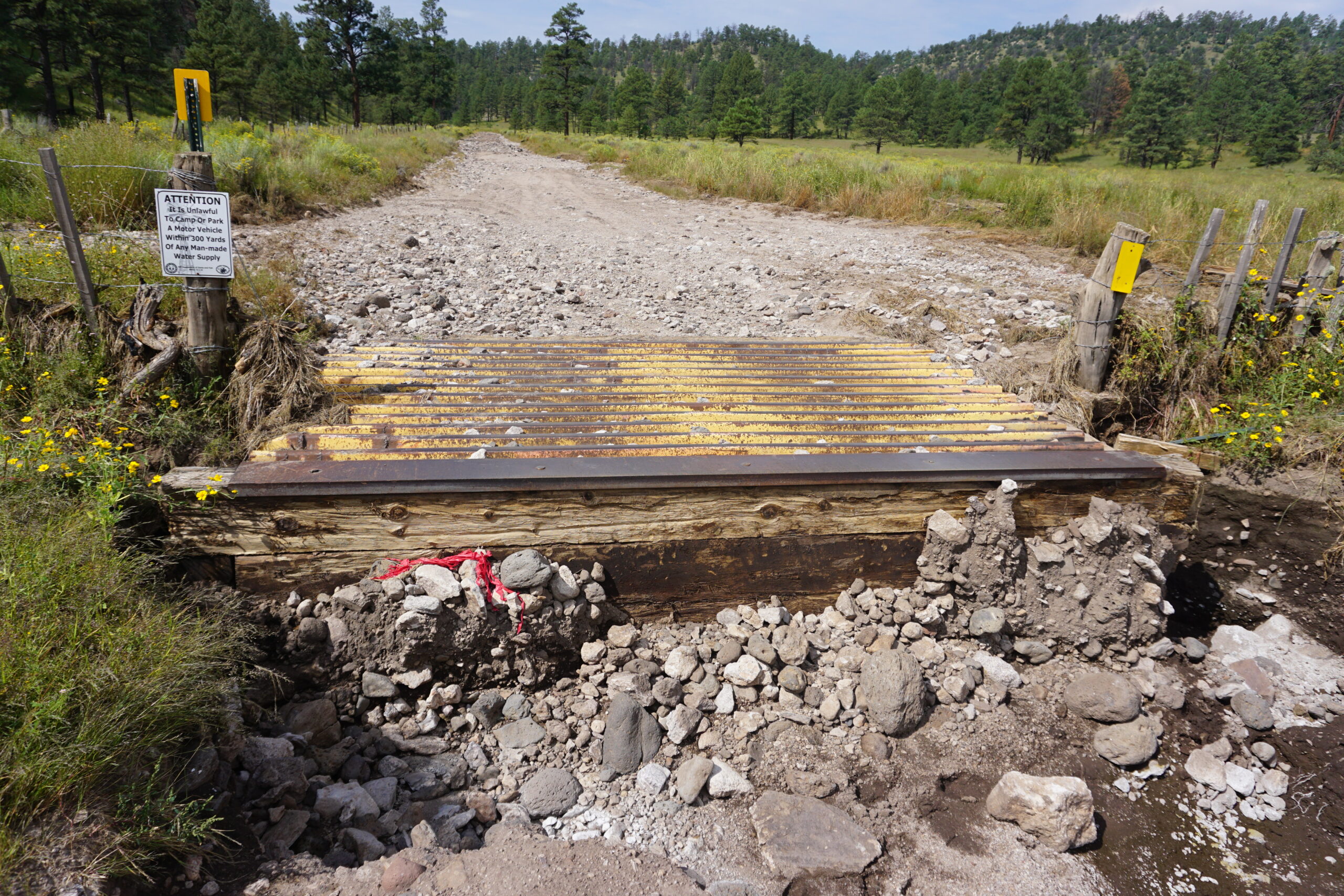
Suddenly it became a lot worse. The stream next to the road had merged with the road. All sand and gravel were gone, leaving only large boulders. In some areas water was still flowing. This situation continued for almost 8km (5 miles). We had to hike-a-bike the majority, and it took us an additional 1.5 to 2 hours to reach the closed road sign at the other side. It was hard, but did we regret it? Not at all, it was part of the adventure!
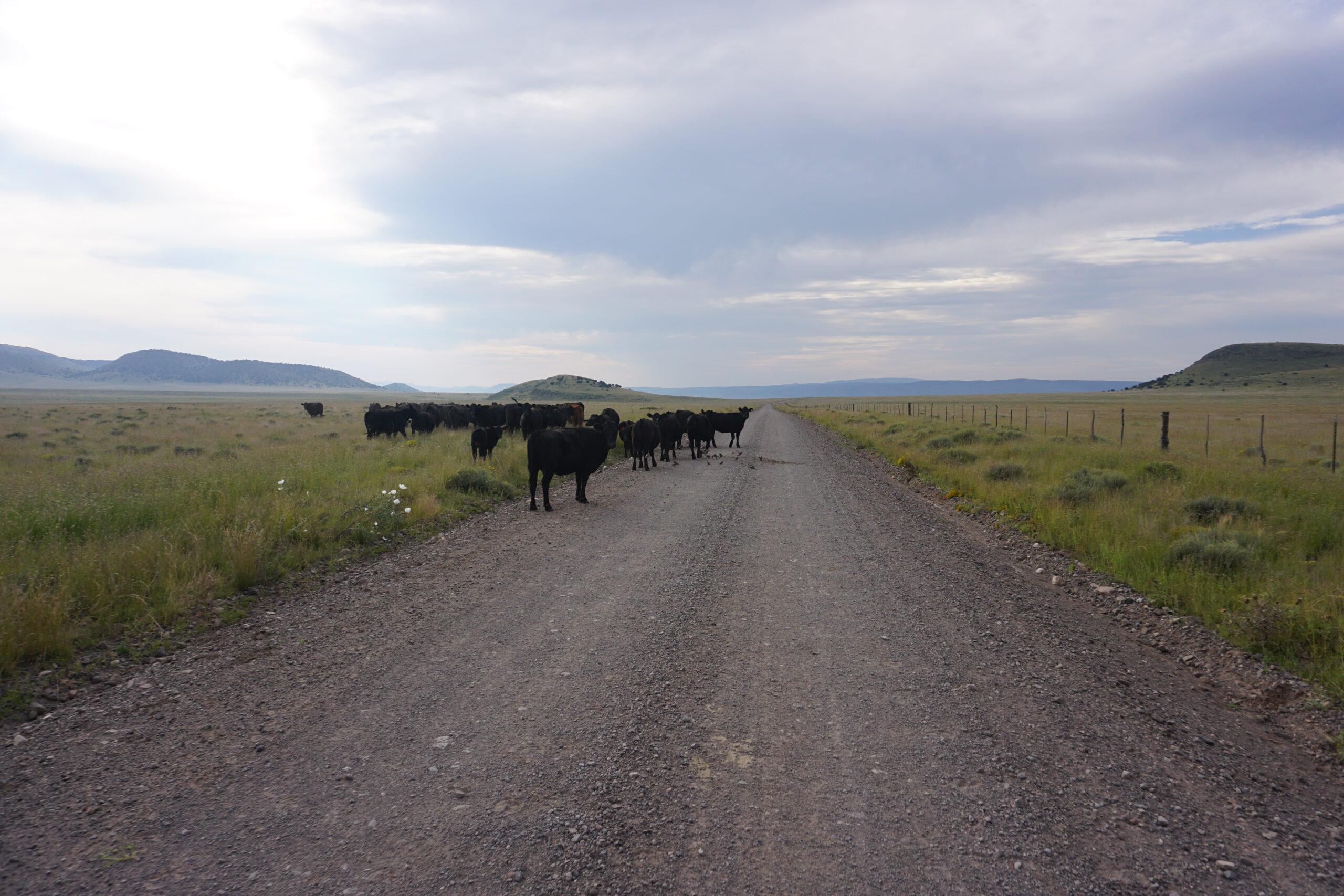
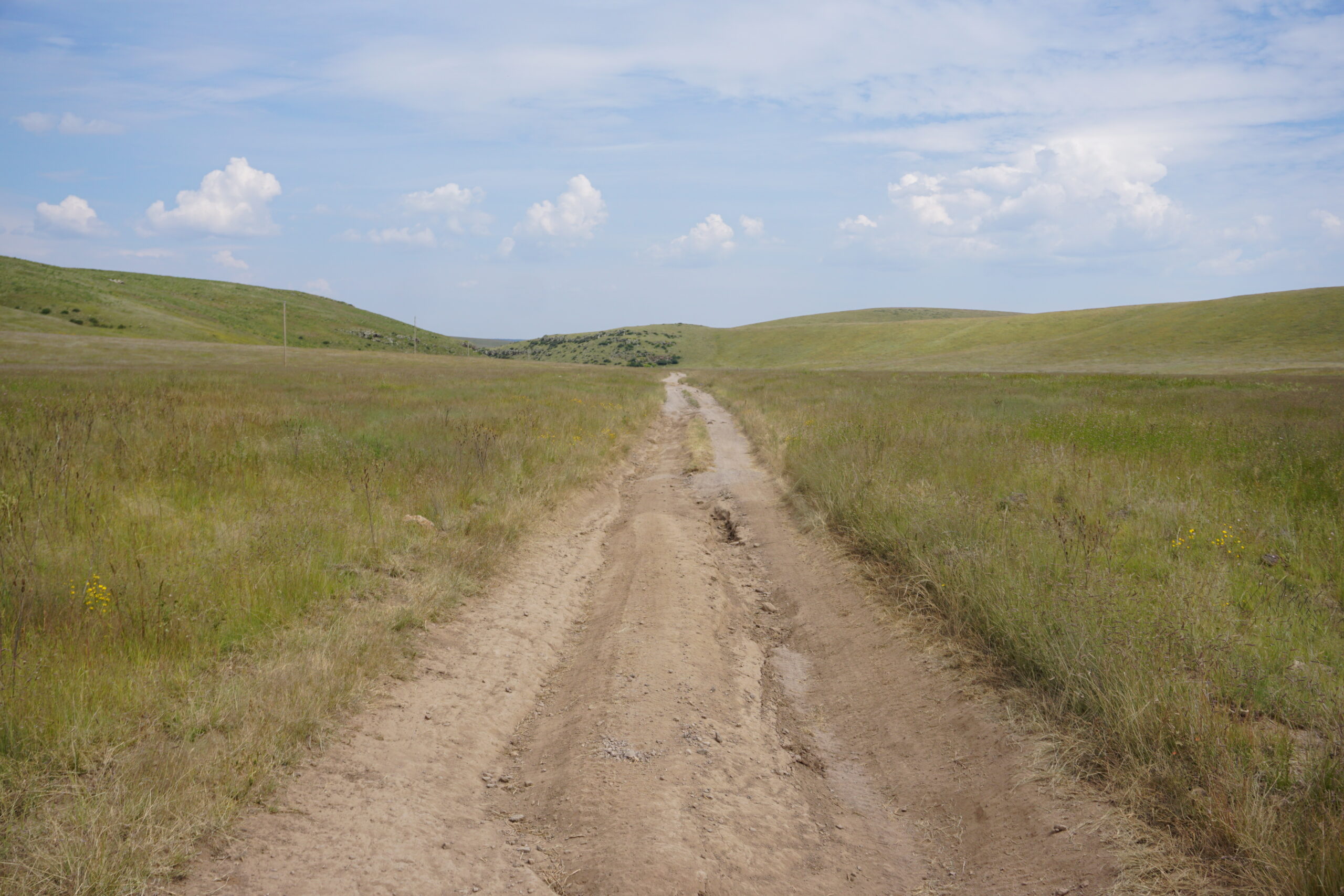
We could continue on a good gravel road, and despite the delay, we still expected to cover an extra long distance today. From the moment we reached a cattle guard with a sign next to it ‘Private Road’, our hopes for a long distance was gone. The quality of the road (and coming miles) was bad, very bad. It include loose sand, rocks, and deep ruts. It wasn’t as bad as the previous section, but we could only ride it slowly and had to be very careful not to crash. It slowed us down a lot and made us decide to stay at the Beaverhead Work Center, which was our primary destination anyway, we just wanted to make some additional miles. Cycling these kind of roads in the dark would be stupid.
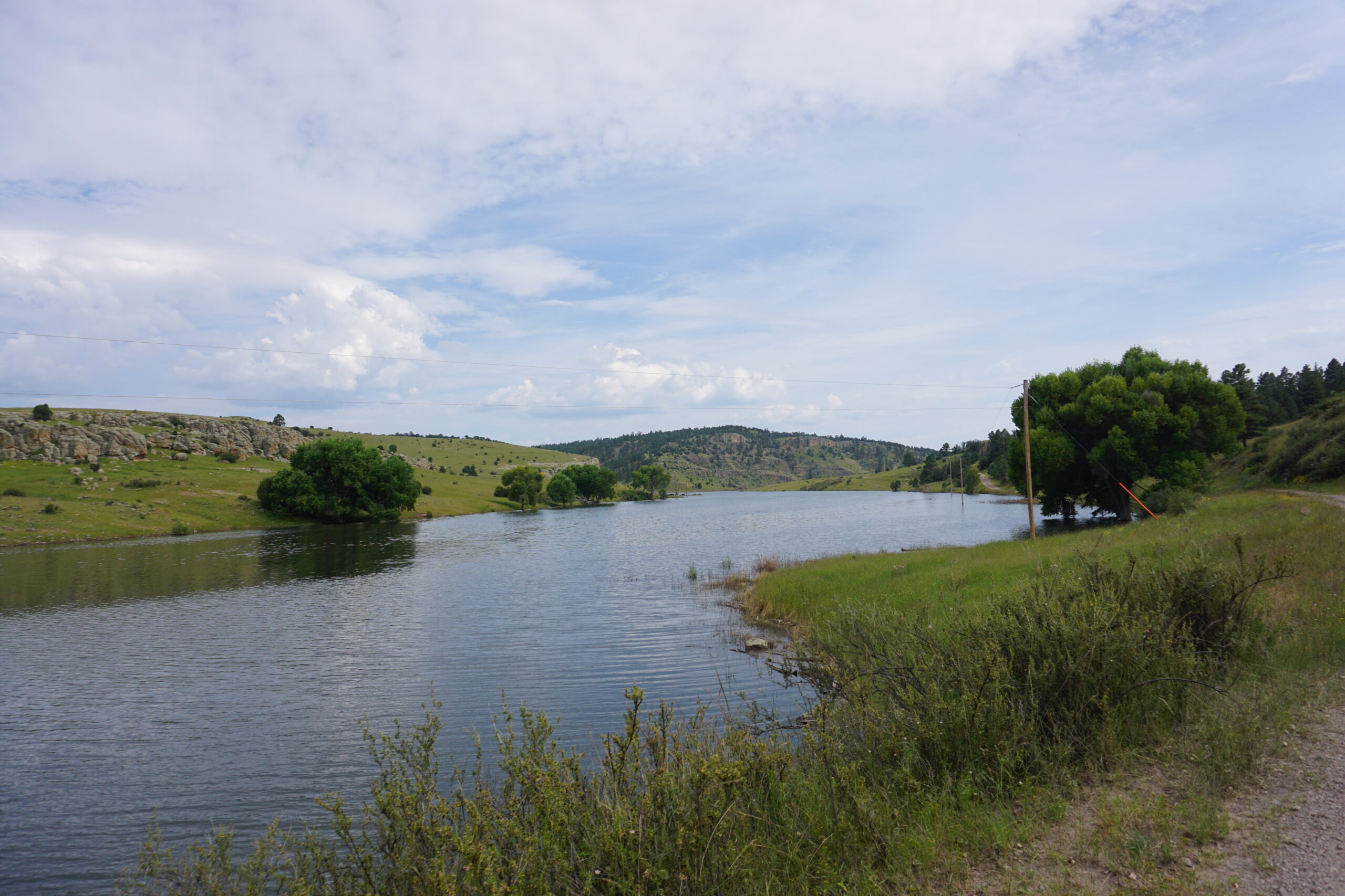
If that delay wasn’t enough, suddenly we saw a lake, with electrical poles in, which looked odd. About 2km (1.5 miles) later we came to the end of the lake and had to cross a stream that was crossing the road (read: washed out the road). From across a family in an ATV neared. They stayed in the area for a couple of days and explained this water was not supposed to be here. With a few rocks and tree trunks we managed to make a passage to more shallow water. With the bike as counterbalance, we could walk across the tree trunk and rocks, position the bike, jump on it, and cycle the remaining section. It worked, for the both of us!
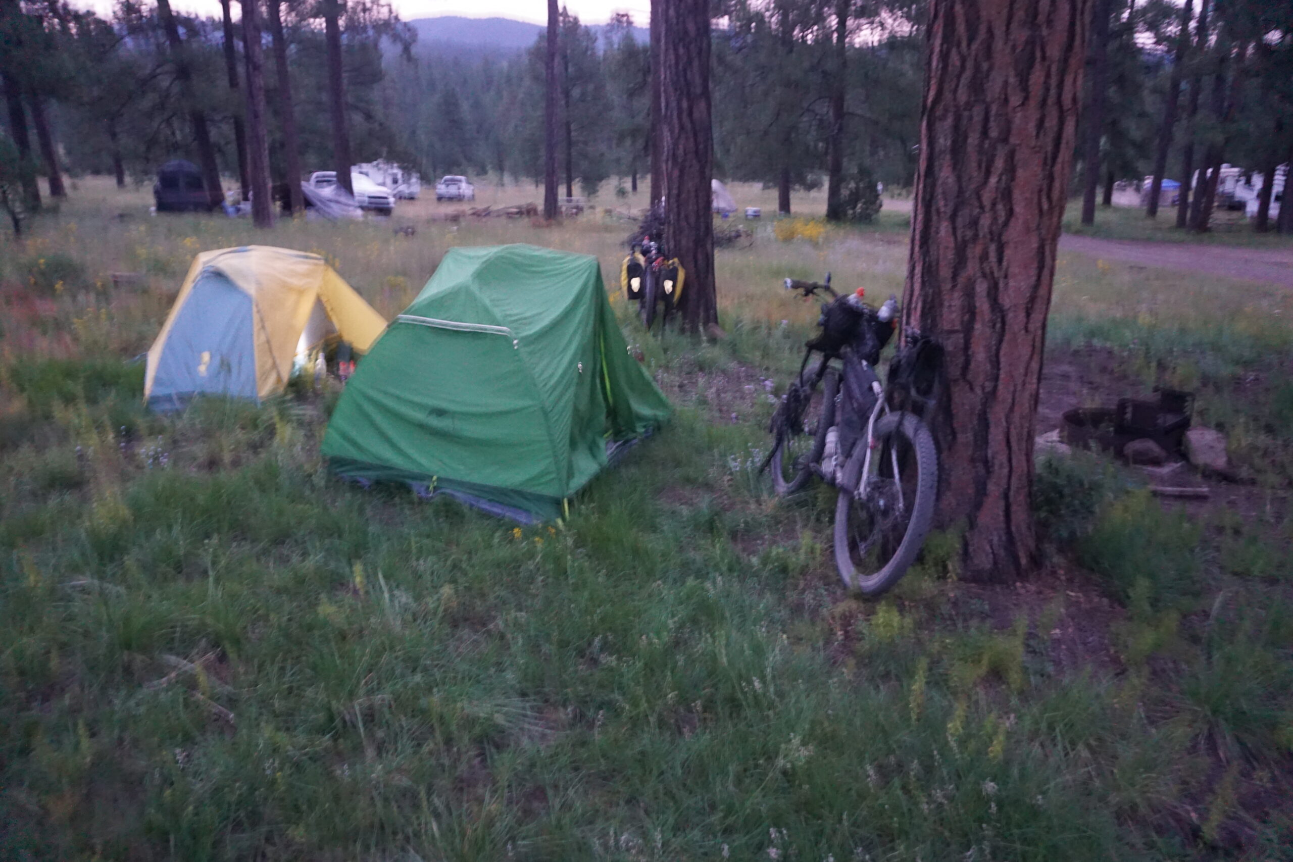
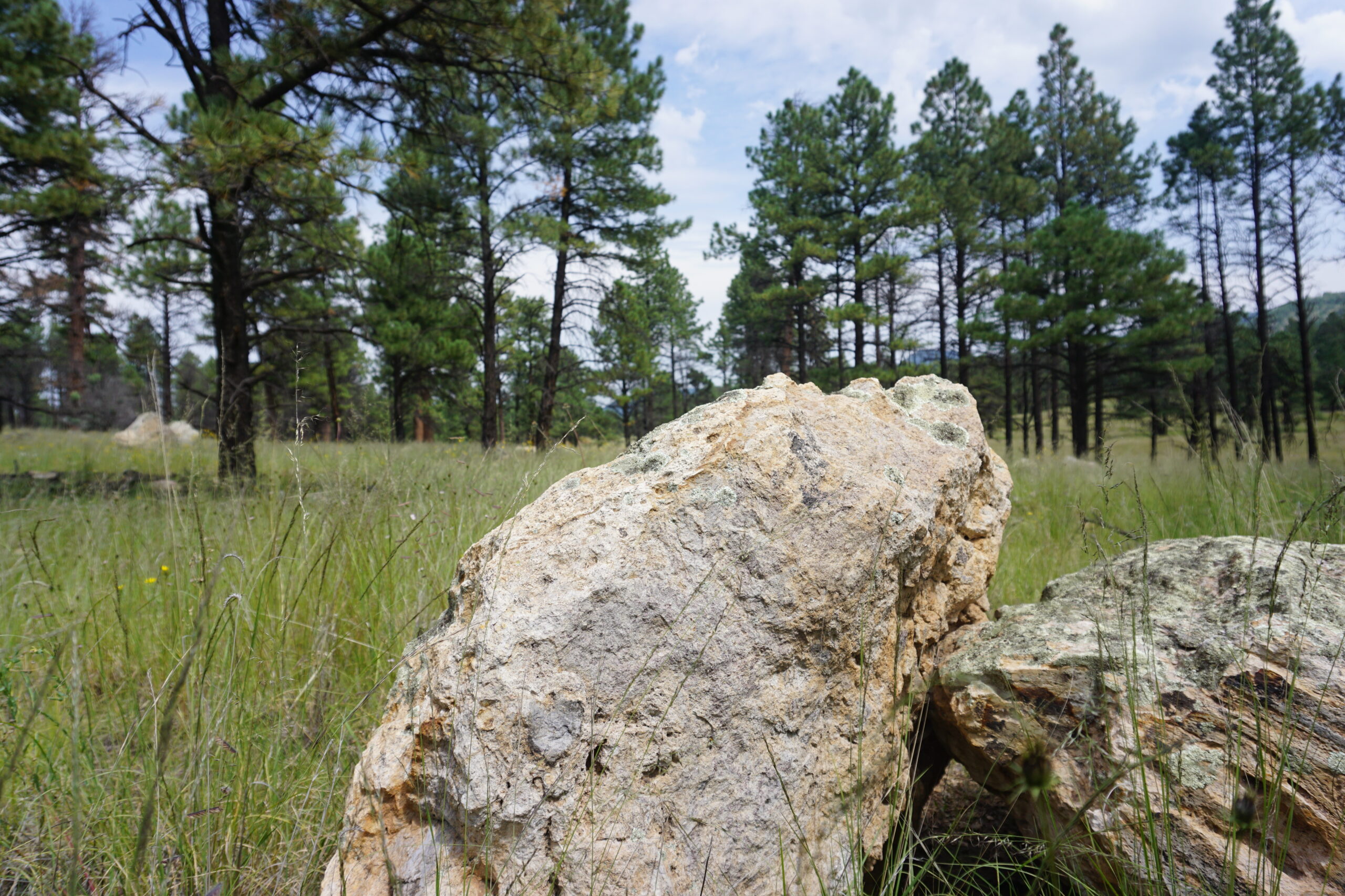
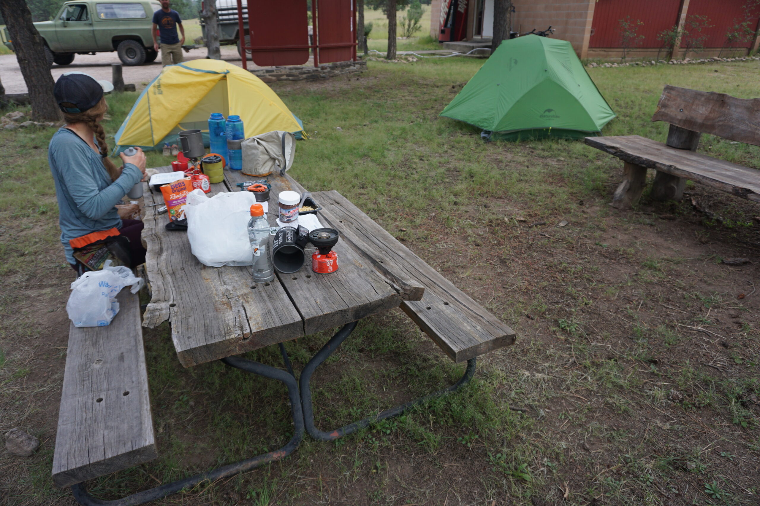
From here, it would be a short distance to the Beaverhead Work Center (aka Beaverhead Ranger Station US Forest Service). The road improved a bit, and we enjoyed the scenery in the afternoon light. Around 4:30pm we arrived at the Beaverhead Work Center, a small settlement for a fire brigade when needed, and a ranger station. There were restrooms and fresh drinkable water from a hose. We, well Anna, also put 4 quarters in an old vending machine which was powered on. Would a cold soda not be heaven? It swallowed it all but did not give anything back.
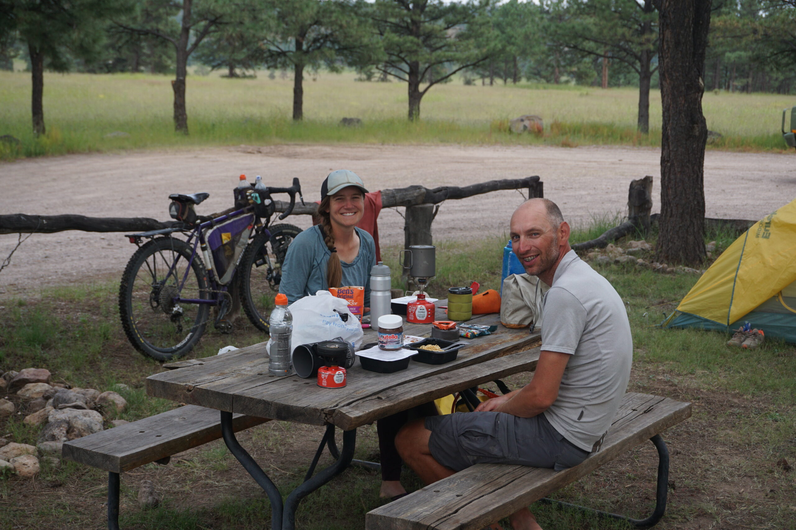
We setup our tents, cleaned ourselves and the bikes, and started to make dinner. Meanwhile, a big car with trailer cam driving by. It was Pawell, who was having a holiday in the back country with is family. Every two weeks he came to this location for filling up a 300-gallon container with water. Pawel is a border patrol officer, and familiar with our destination (Antelope Wells). We ate dinner and had a long chat with Pawel.
Gallery