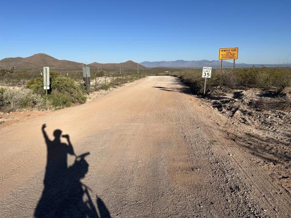
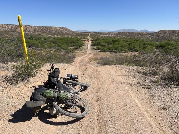
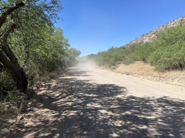
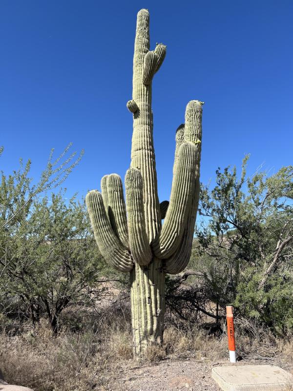
Today we rode from Thombstone to a dispersed campsite 8km north of the Cascabel Community Center. The weather was similar to previous days, blue skies all over and a bit of wind. The road surfaces included paved (but not as much as previous days), gravel, loose gravel and sand, double track with pinned bushes at the sides and in the middle.
Riding statistics: on Saturday, May 11, 2024, day 11 on the route, it took 10:53h (07:53h moving time), between 6:19 and 5:13, to cover 121.31688 km (75 miles), including 650 m (2133 ft) elevation gain, with an average speed of 15.0 km/h (9.3 mph), while reaching a maximum speed of 46 km/h (28.6 mph). During this ride the average temperature was 31 °C (88 °F) with a minimum of 12 °C (54 °F) and a maximum of 41 °C (106 °F).
Totals: So far, it took 1 days, 0 hours, 59 minutes, and 44 seconds of cycling time to cover 424 km (263 miles), including 2609 m (8560 ft) elevation gain, with an average speed of 17.1 km/h (10.7 mph).
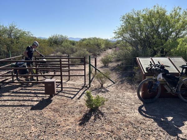
This morning we had the alarm clock set for 6am but we were awake much earlier. So at 5.30 we started to get ready. Leaving early meant relative low temperature. About 50 minutes later, we were ready to go. First stop, circle-k, a gas station store. Unfortunately the only real option in town. I buyed some breakfast stuff, and water for the day, again a gallon. Immediately after leaving Thombstone we rode on a great gravel road. About 1 hour later we turned really nice single track. Nice flows, but we had to be careful for washed away sections, you don’t want your front wheel sliding in there. The single later became a double track, once a railroad track, as part of the Land Corral trail. We had to pas multiple gates. Some could be opened, some not and we had to lift the bikes. The last two gates were high and closed very well, there was even barbwire and sign that it was private and no trespassing allowed. The chains, locks, and barbwire were brand-new. Normally I am obeying signs like these. But in this case it meant we had to turn around and probably loose 2 to 3 hours. So I pushed to continue, I did not see a madman with a gun anyway.
After passing the last gate, it took us another 45 minutes to get to the town of Benson. It has a Safeway so we could get some real groceries, especially since we will be wildcamping tonight. We sat outside the Safeway to get a bit of rest and have a lunch. I choose watermelon, 2 small yoghurts, and a banana. Now it was also time that I looked into the options after Benson. There were a few wild camping options (=public land). First a few options between 15km and 30km. The the next after 60km, with Cascabel Community Center just before the last option. Here we could get some extra water. Our legs felt good enough to go for the last option. At the Community Center we’re several person having a get together. That is what they seem to do very regularly to keep the community alive. We got some water and set down for a while on the shaded porch.
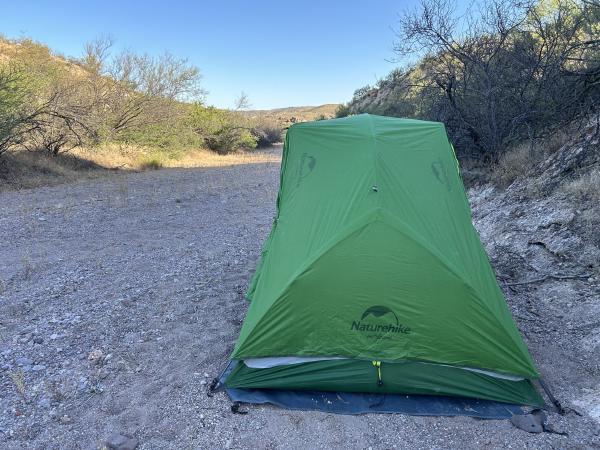
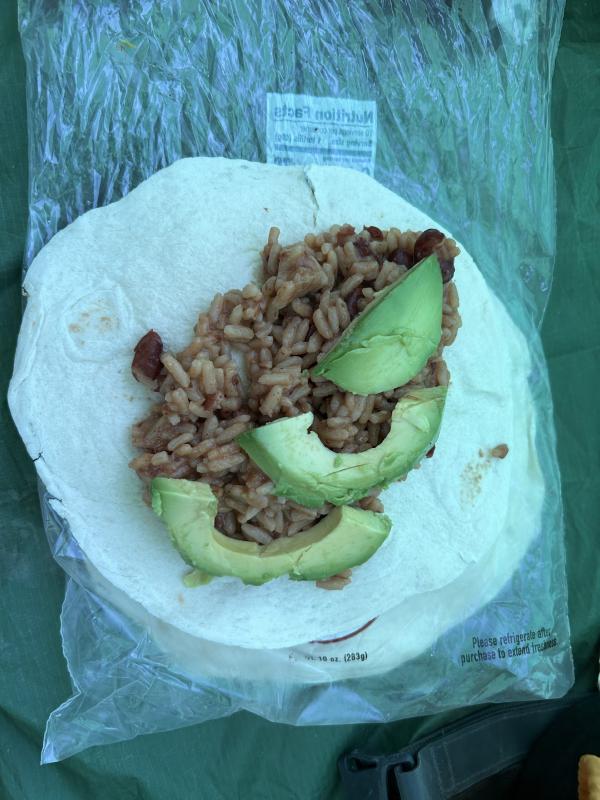
Now it was time for the final 12km of the day. Still on a great gravel road, although for a large part of the day we had to be careful of washboarding. Fortunately we have a front suspension that already helps a bit. As soon as we entered public land we saw a nice spot that could be used for the night. Peaceful and quiet. We setup our tents, enjoyed dinner (I had rice with beans, put it on a wrap, and added avocado). After dinner I cleaned up and went to bed. About one hour later, someone on an ATV (All Terrain Vehicle) passed by and stopped, turned, stopped, and drove away. Strange. However, 30 minutes later I heard the vehicle again, now it stopped in our direction and flashed its lights multiple times. Before I was able to get out of the tent, the vehicle drove away. It bothered me, and it took a while before I fell asleep again.
