“The 2,700-mile Western Wildlands Route (WWR, formerly known as the Wild West Route) offers bikepackers a non-technical riding experience through the vast expanses of wild and public lands in the Intermountain West. Nearly 70% of the route is on public lands - 18 National Forests, 6 National Parks and Monuments, and 4 areas with Bureau of Land Management National Conservation Lands designation.”, according to Bikepacking Roots.
Totals: This route took us 12 days, 8 hours, 40 minutes, and 9 seconds of cycling time to cover 4312 km (2679 miles), including 47660 m (156372 ft) elevation gain, with an average speed of 15 km/h (9 mph), reaching a maximum speed of 63 km/h (39 mph) on Saturday, June 1, 2024. During cycling, there was a minimum temperature of 0 °C (32 °F) on Thursday, May 30, 2024, and a maximum temperature of 50 °C (122 °F) on Friday, June 7, 2024.
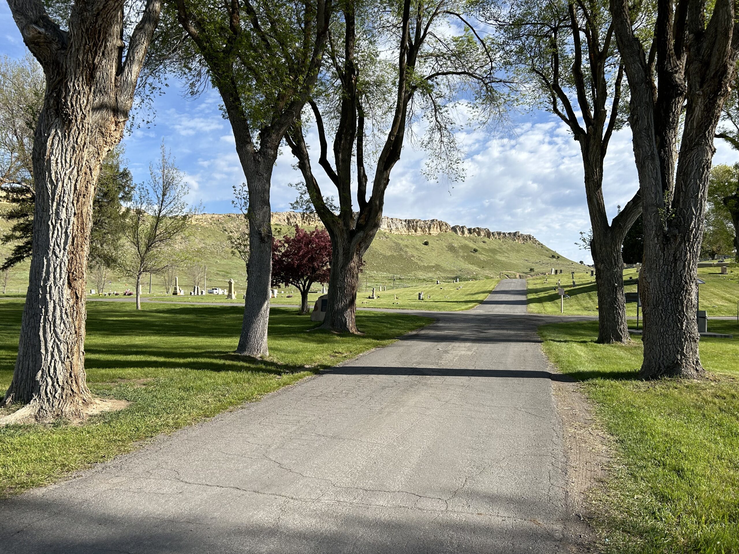
Today we rode from the Cottonwood campground in the Rockport State Park, Utah to the Phillips RV Park in Evanston, Wyoming. We had blue skies with friendly clouds all day. The road surfaces we cycled included pavement, rail-trail, and gravel.
Riding statistics: on Wednesday, May 29, 2024, day 29 on the route, it took 07:27h (05:44h moving time), between 6:50 and 2:18, to cover 99 km (62 miles), including 845 m (2772 ft) elevation gain, with an average speed of 17.0 km/h (10.6 mph), while reaching a maximum speed of 46 km/h (28.6 mph). During this ride the average temperature was 24 °C (75 °F) with a minimum of 7 °C (45 °F) and a maximum of 34 °C (93 °F).
...
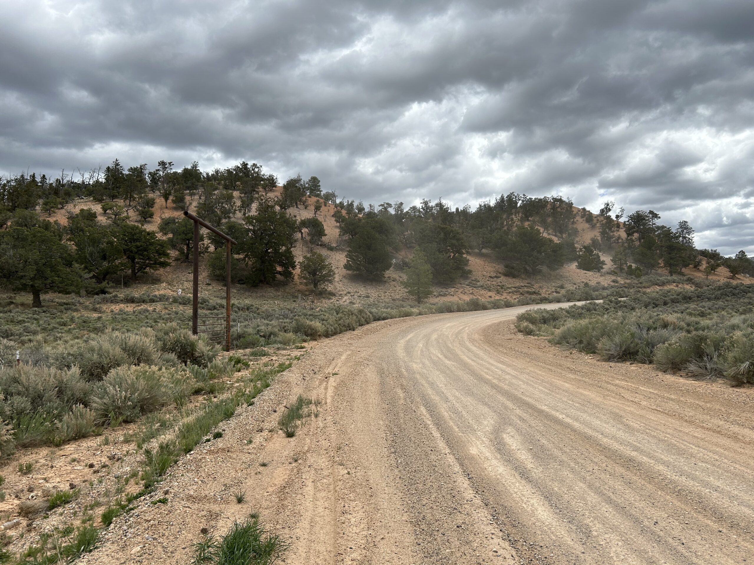
Day 20: Difficult roads and another detour
Today we rode from our dispersed campsite east of Strawberry Reservoir to Cottonwood Campground in the Rockport State Park. We had lots of sunshine, but also some threatening clouds. Road surfaces were difficult double-track, pavement, gravel, and a path used by wildlife.
Riding statistics: on Tuesday, May 28, 2024, day 28 on the route, it took 12:01h (08:03h moving time), between 6:39 and 6:40, to cover 122 km (76 miles), including 1709 m (5607 ft) elevation gain, with an average speed of 14.0 km/h (8.7 mph), while reaching a maximum speed of 59 km/h (36.7 mph). During this ride the average temperature was 25 °C (77 °F) with a minimum of 3 °C (37 °F) and a maximum of 42 °C (108 °F).
...
Day 19: Meeting Anna and John
Today we rode from the campground in the Palisade State Park to a dispersed campsite 15km east of Strawberry Reservoir. We had blue skies with a few clouds all day. We mostly rode a paved road, and a short difficult single-track.
Riding statistics: on Monday, May 27, 2024, day 27 on the route, it took 12:01h (08:03h moving time), between 6:39 and 6:40, to cover 140 km (87 miles), including 1165 m (3822 ft) elevation gain, with an average speed of 17.0 km/h (10.6 mph), while reaching a maximum speed of 51 km/h (31.7 mph). During this ride the average temperature was 27 °C (81 °F) with a minimum of 8 °C (46 °F) and a maximum of 47 °C (117 °F).
...
Day 18: A beautiful valley
Today we rode from the RV Park in Antimony to a campground in the Palisade State Park. We had blue skies with some clouds all day. We started on pavement, at noon back on off road surfaces, and in the late afternoon we did some more on pavement.
Riding statistics: on Sunday, May 26, 2024, day 26 on the route, it took 12:06h (08:45h moving time), between 7:04 and 7:11, to cover 150 km (93 miles), including 871 m (2858 ft) elevation gain, with an average speed of 17.0 km/h (10.6 mph), while reaching a maximum speed of 43 km/h (26.7 mph). During this ride the average temperature was 23 °C (73 °F) with a minimum of 2 °C (36 °F) and a maximum of 36 °C (97 °F).
...
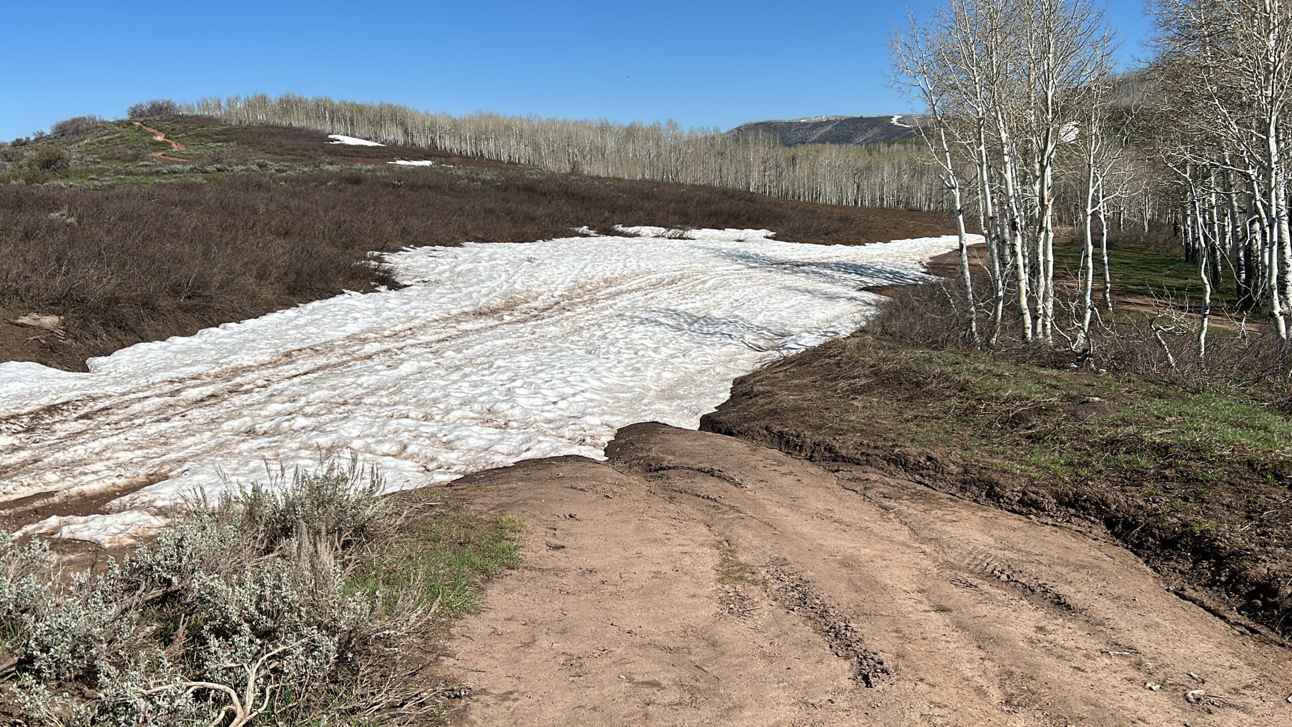
Day 17: Detour because of the snow
Today we rode from a dispersed campsite close to Bryce Canyon National Park to a dispersed campsite on the Aquarius Plateau. Oh no, we did not make that. We ended the day at an RV Park in a small community. The weather started great with blue skies. In the afternoon that changed to clouded, and then rain. We were supposed to have a gravel and double-track all day, but eventually the afternoon was paved.
...
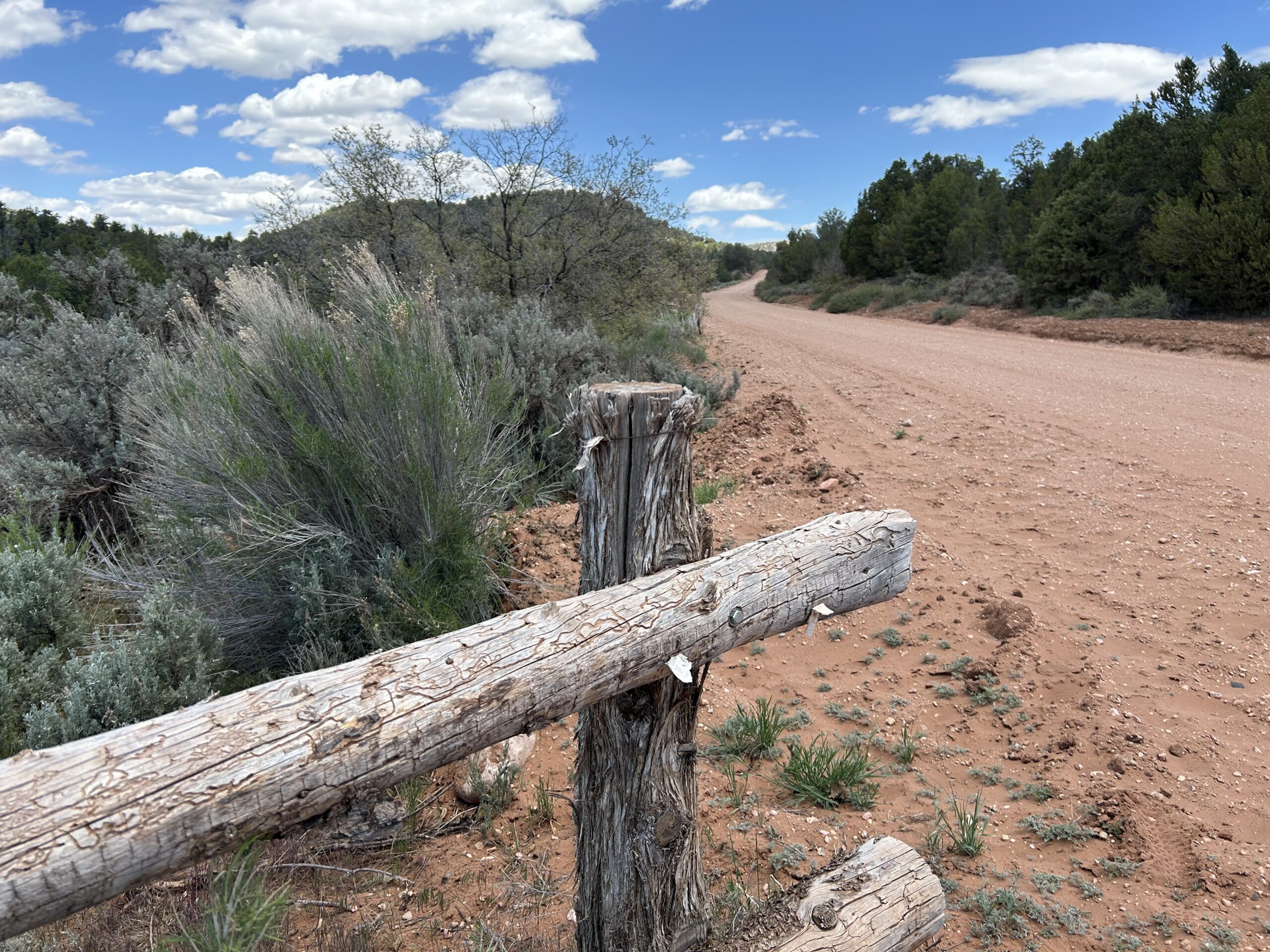
Day 16: Memorial Day Friday, few camp spots
Today we rode from Kanab to a dispersed campsite 10km before Bryce Canyon National Park. We started the day with blue skies, in the afternoon there were clouds, no sun, but the sun returned in the late afternoon. The first 40km was on a paved road. The rest of the day on a gravel road (with sometimes a layer of 1 to 5cm of really fine grained sand.
Riding statistics: on Friday, May 24, 2024, day 24 on the route, it took 10:24h (08:03h moving time), between 7:07 and 5:31, to cover 100 km (62 miles), including 1514 m (4967 ft) elevation gain, with an average speed of 12.0 km/h (7.5 mph), while reaching a maximum speed of 44 km/h (27.3 mph). During this ride the average temperature was 24 °C (75 °F) with a minimum of 15 °C (59 °F) and a maximum of 38 °C (100 °F).
...
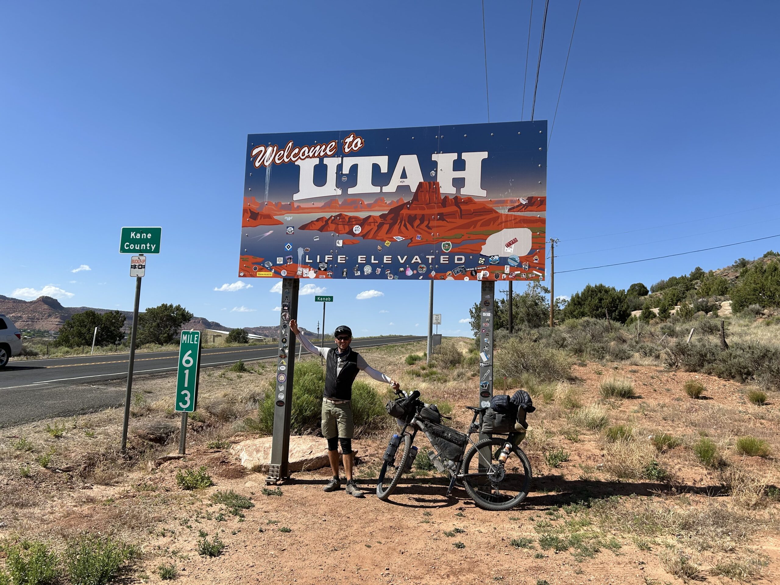
Day 15: Entering Utah
Today we rode from our dispersed campsite near the Vermillion Cliffs to a motel in Kanab. We had blue skies all day, and the damn wind again. The road was paved for the first 10km, follow by gravel, good and bad, and the last 20km was also paved.
Riding statistics: on Thursday, May 23, 2024, day 23 on the route, it took 12:17h (07:41h moving time), between 5:56 and 6:14, to cover 103 km (63 miles), including 1094 m (3589 ft) elevation gain, with an average speed of 13.0 km/h (8.1 mph), while reaching a maximum speed of 39 km/h (24.2 mph). During this ride the average temperature was 27 °C (81 °F) with a minimum of 13 °C (55 °F) and a maximum of 35 °C (95 °F).
...
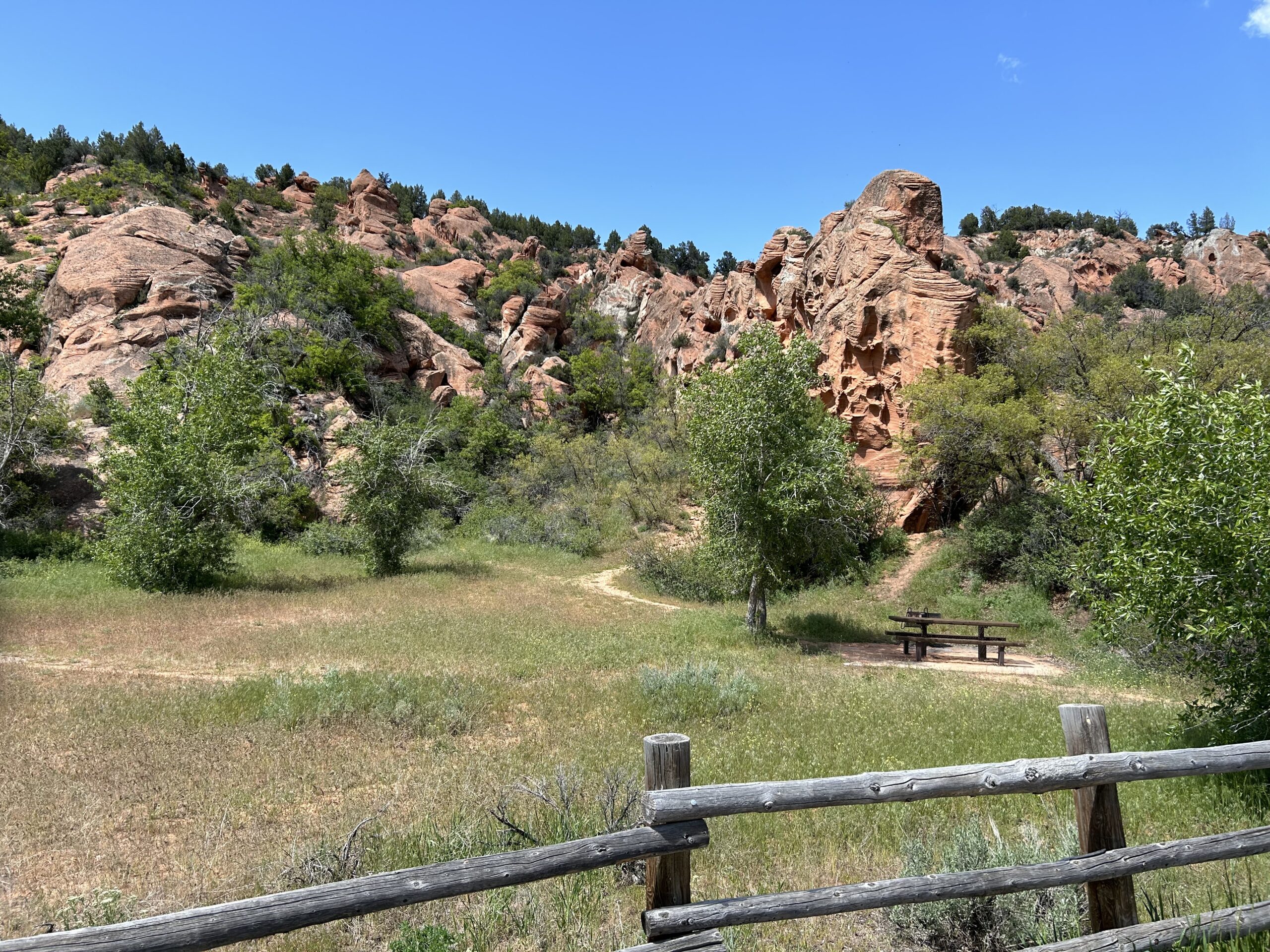
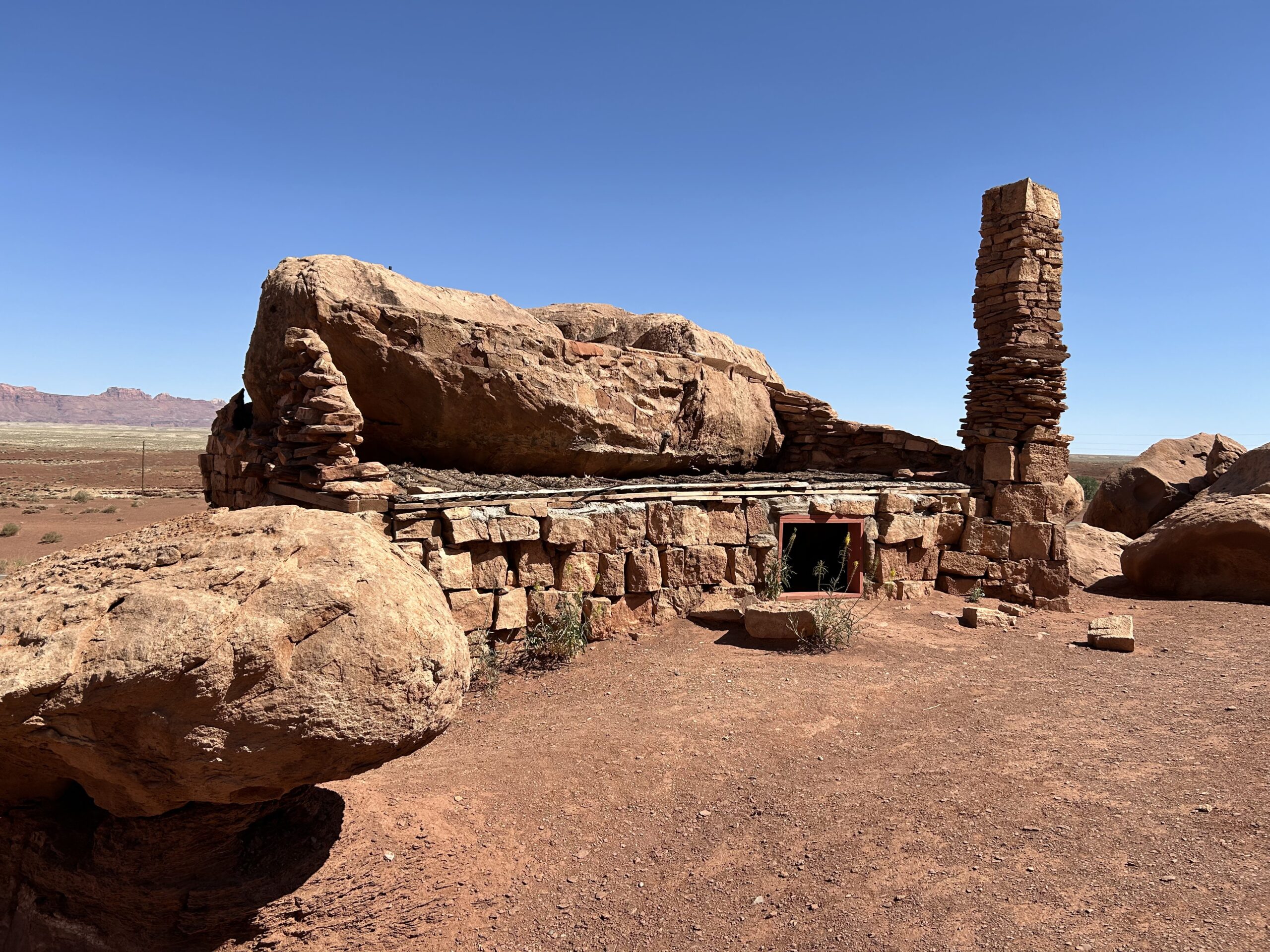
Day 14: More Red Rocks
Today we rode from the dispersed campsite on the Navajo territory to another dispersed campsite near the Vermillion Cliffs. We had blue skies all day, and wind. The road surface was in the morning good gravel, mainly double-track. In the afternoon we had a paved road along the Vermillion Cliffs.
Riding statistics: on Wednesday, May 22, 2024, day 22 on the route, it took 12:17h (07:41h moving time), between 5:56 and 6:14, to cover 126 km (78 miles), including 1167 m (3829 ft) elevation gain, with an average speed of 15.0 km/h (9.3 mph), while reaching a maximum speed of 54 km/h (33.6 mph). During this ride the average temperature was 26 °C (79 °F) with a minimum of 6 °C (43 °F) and a maximum of 39 °C (102 °F).
...
Day 13: Cycling around the Grand Canyon
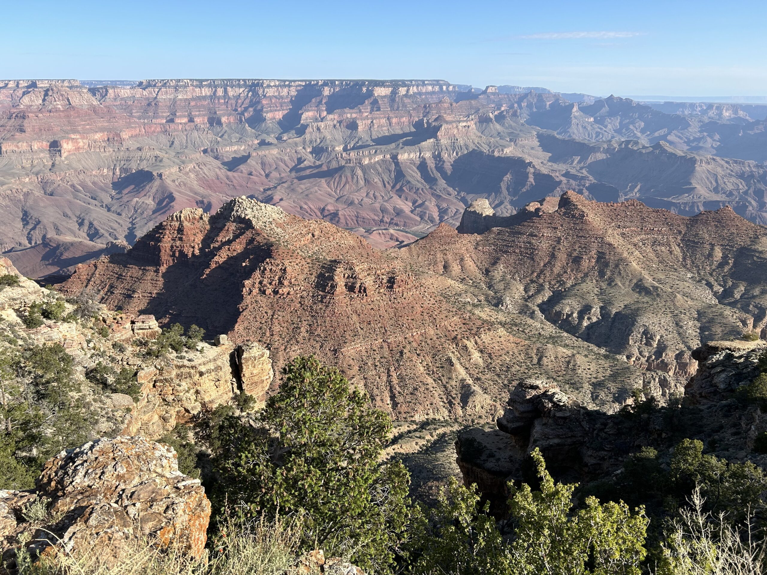
Today we rode from the dispersed campsite close to Grand Canyon National Park to another dispersed campsite on the Navajo territory after Cameron. Today with blue skies to start and end the day, during the day we had some clouds. Overall warm but not too warm. Most of the day we rode on a paved road, except for a few kilometers where we entered Grand Canyon National Park, and the Navajo territory.
...
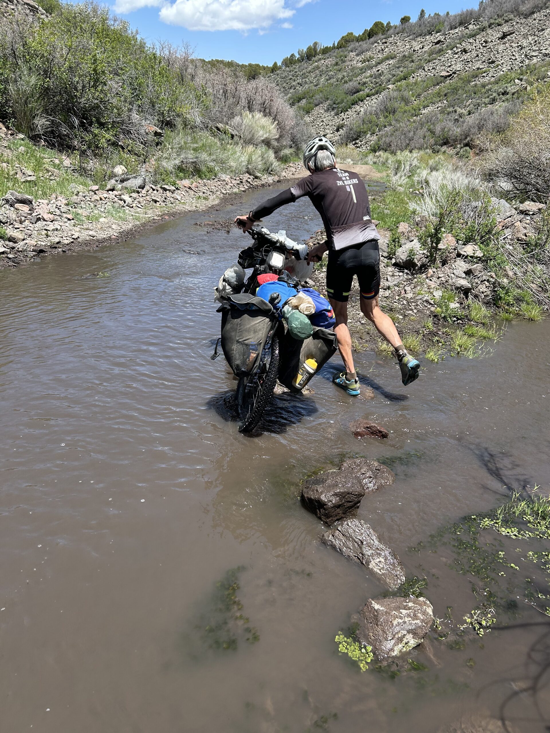
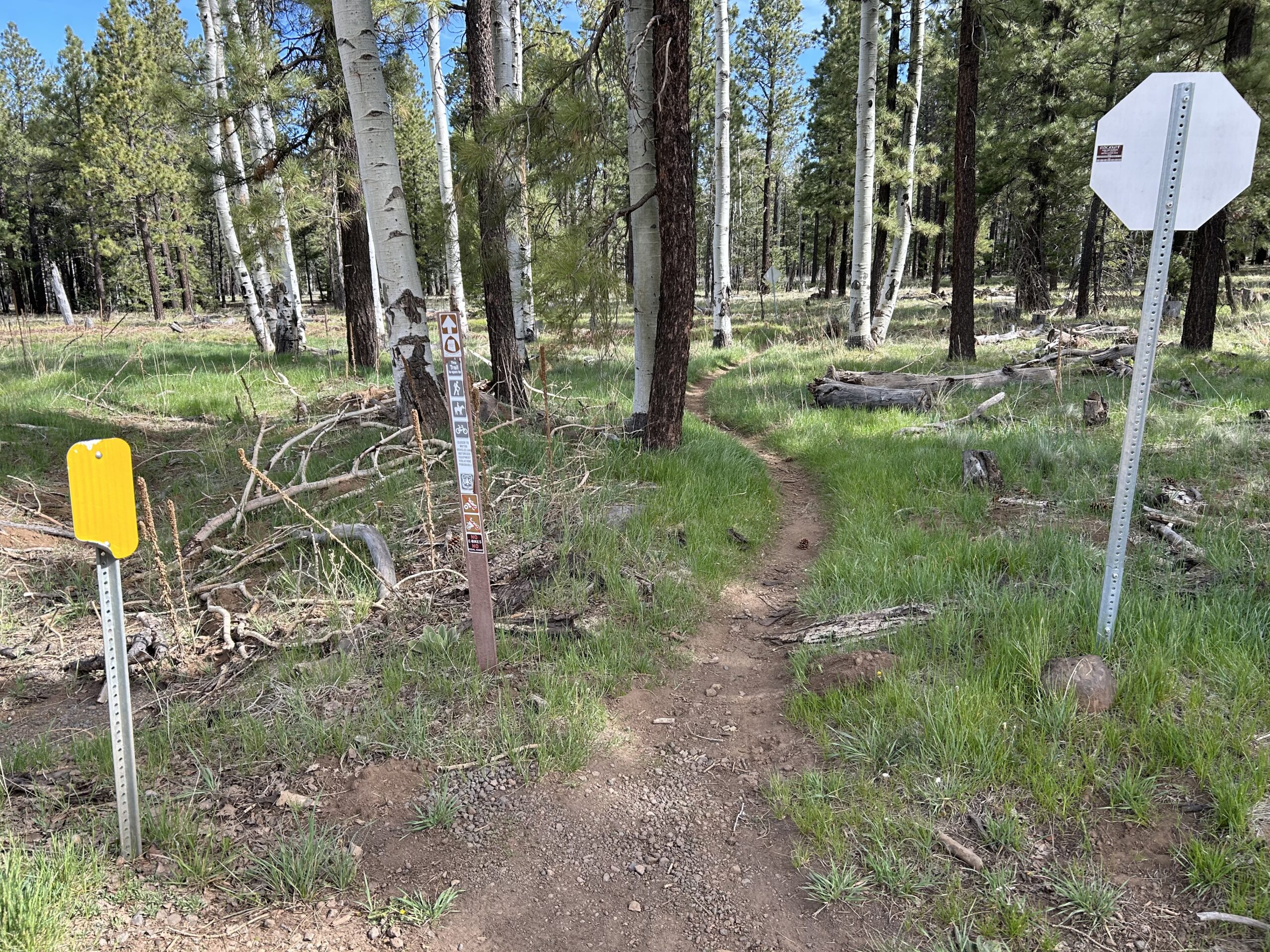
Day 12: Single-track on the Arizona Trail
Today we rode from a dispersed campsite north of Flagstaff to another dispersed campsite just outside Grand Canyon National Park. Today we mainly had overcast, it started an ended with additional sunshine between the clouds. There was also an very strong wind, with powerful gusts, all day long. The roads were not easy today. Some difficult trails with rocks, dried clay, gravel, and single-track.
Riding statistics: on Monday, May 20, 2024, day 20 on the route, it took 10:38h (08:34h moving time), between 6:05 and 4:43, to cover 109 km (68 miles), including 1354 m (4442 ft) elevation gain, with an average speed of 13.0 km/h (8.1 mph), while reaching a maximum speed of 46 km/h (28.6 mph). During this ride the average temperature was 20 °C (68 °F) with a minimum of 12 °C (54 °F) and a maximum of 29 °C (84 °F).
...