“The 2,700-mile Western Wildlands Route (WWR, formerly known as the Wild West Route) offers bikepackers a non-technical riding experience through the vast expanses of wild and public lands in the Intermountain West. Nearly 70% of the route is on public lands - 18 National Forests, 6 National Parks and Monuments, and 4 areas with Bureau of Land Management National Conservation Lands designation.”, according to Bikepacking Roots.
Totals: This route took us 12 days, 8 hours, 40 minutes, and 9 seconds of cycling time to cover 4312 km (2679 miles), including 47660 m (156372 ft) elevation gain, with an average speed of 15 km/h (9 mph), reaching a maximum speed of 63 km/h (39 mph) on Saturday, June 1, 2024. During cycling, there was a minimum temperature of 0 °C (32 °F) on Thursday, May 30, 2024, and a maximum temperature of 50 °C (122 °F) on Friday, June 7, 2024.
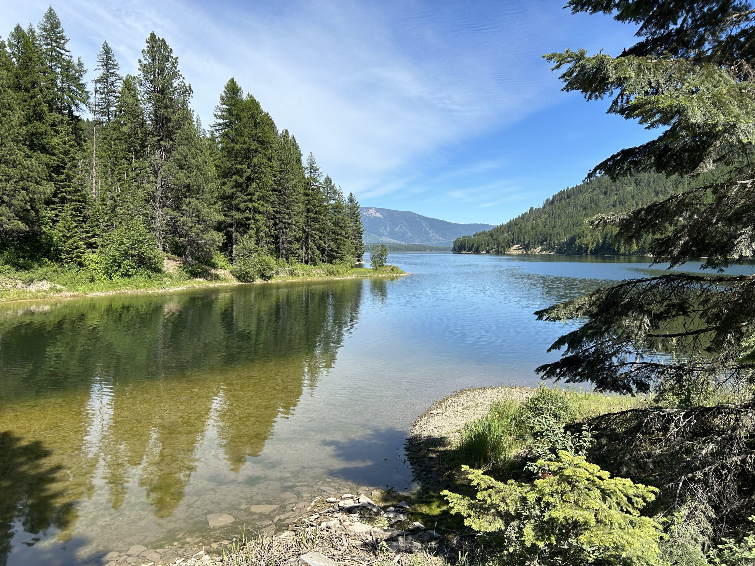
Day 40: Cycling to Whitefish for our flight back home
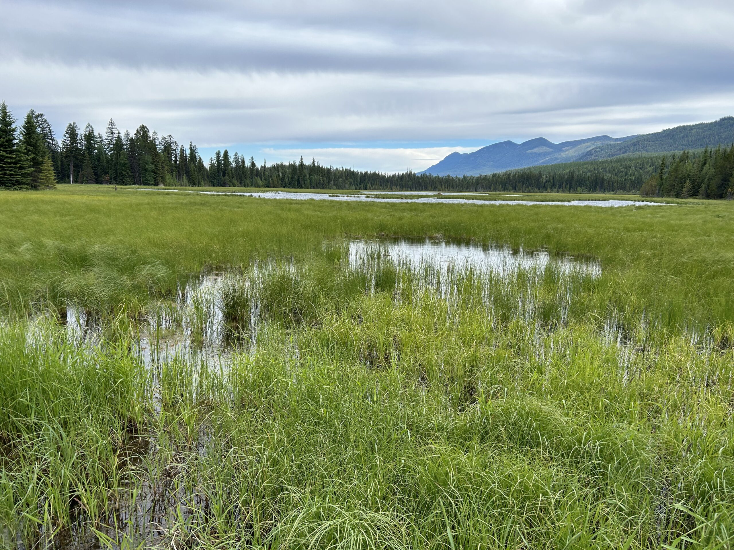
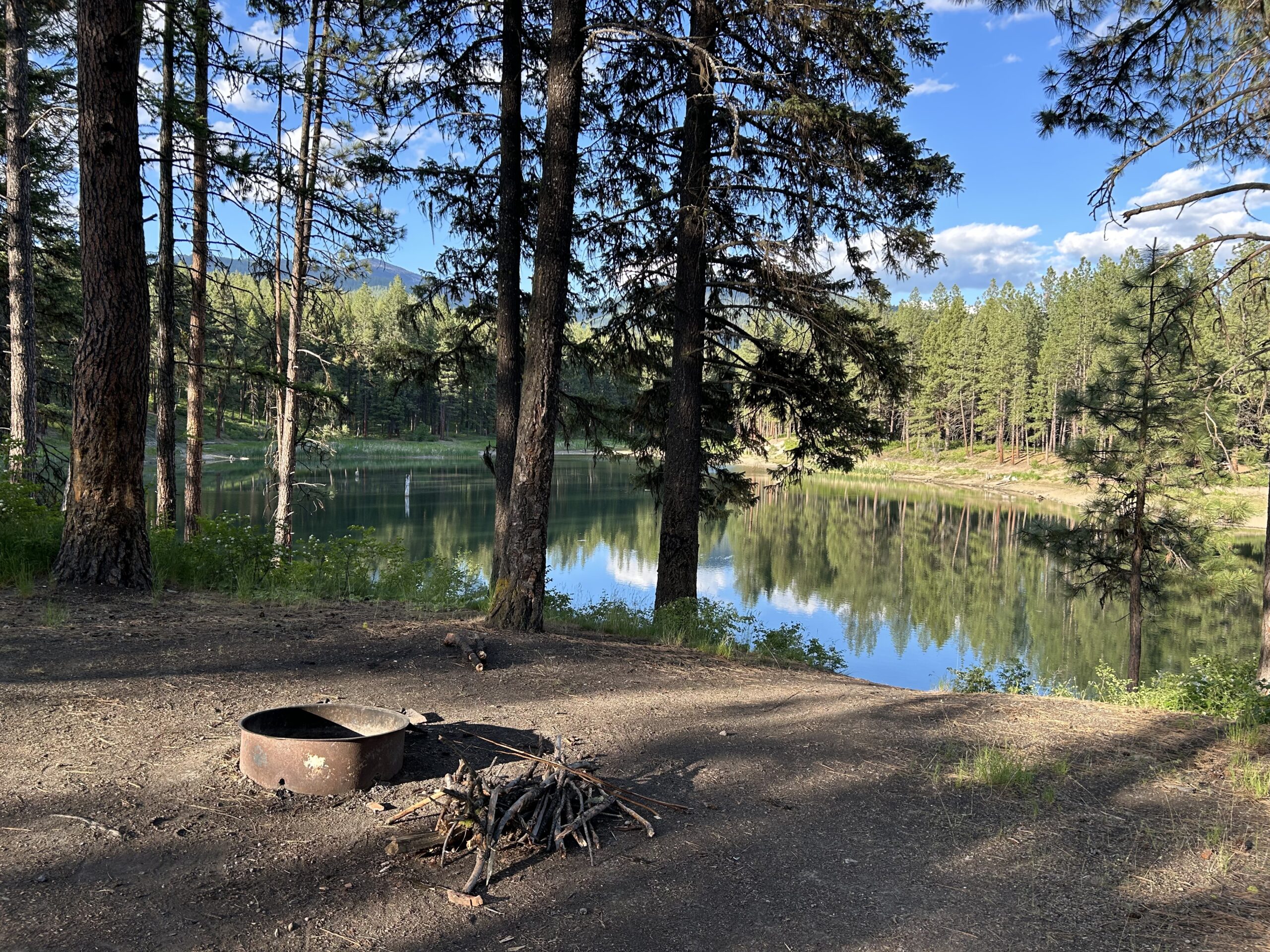
Today we cycled from the Stillwater Lake Campground via Whitefish to the Lasalle RV Park. We had clouds all day, it was chilly and cold at times, and after setting up the tent it started to rain. We rode on non-paved roads until Whitefish, from there it was paved.
Riding statistics: on Monday, June 17, 2024, day 48 on the route, it took 07:31h (04:39h moving time), between 6:50 and 2:21, to cover 70 km (43 miles), including 728 m (2389 ft) elevation gain, with an average speed of 15.0 km/h (9.3 mph), while reaching a maximum speed of 48 km/h (29.8 mph). During this ride the average temperature was 8 °C (46 °F) with a minimum of 2 °C (36 °F) and a maximum of 14 °C (57 °F).
...
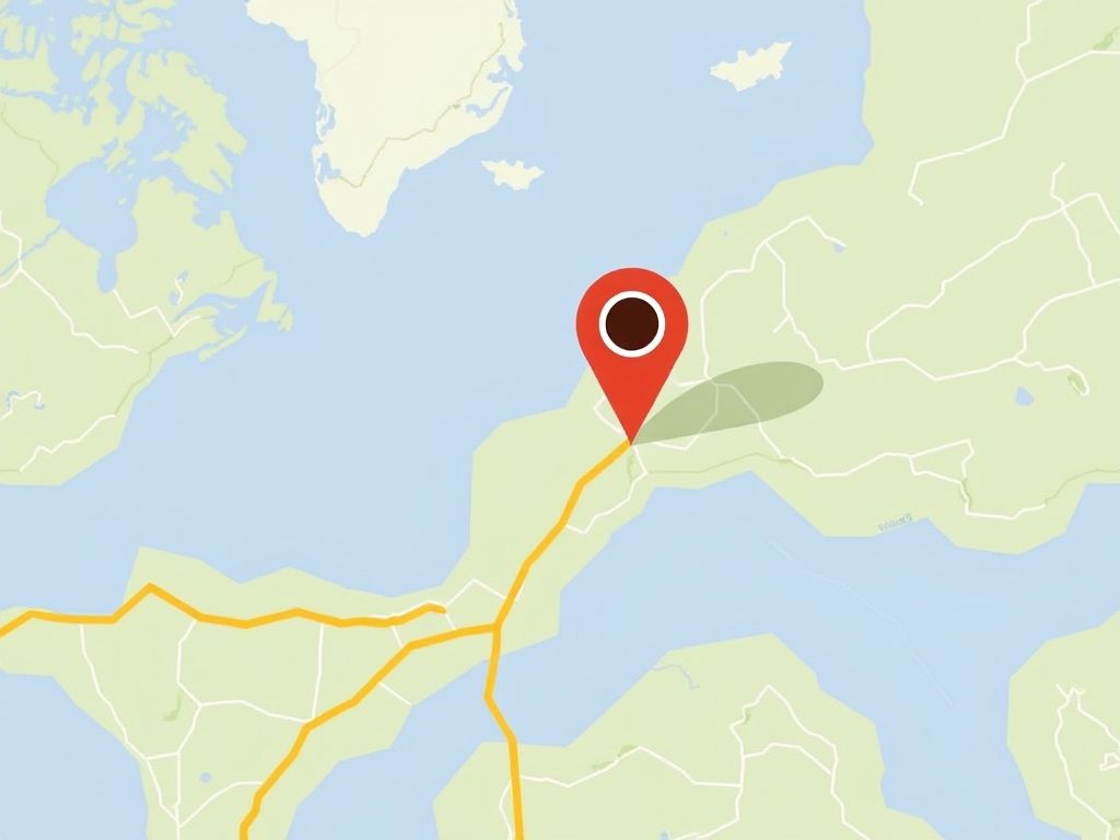
Where am I (on the WWR)?
Do you want to know where I am? So do my family and friends. Riding the Western Wildlands Route is a multi-week adventure, often without any connectivity for days. I bought myself a SPOT tracker for its SOS capabilities. However, it also provides tracker options. The tracker option of my SPOT device is configured to send my location every 10 minutes (when moving). My progress is plotted in a blue line, and a marker shows my last known location. The grey line is a projected route that I downloaded from the Internet during my preparations.So it might not exactly reflect the route I will be riding.
...
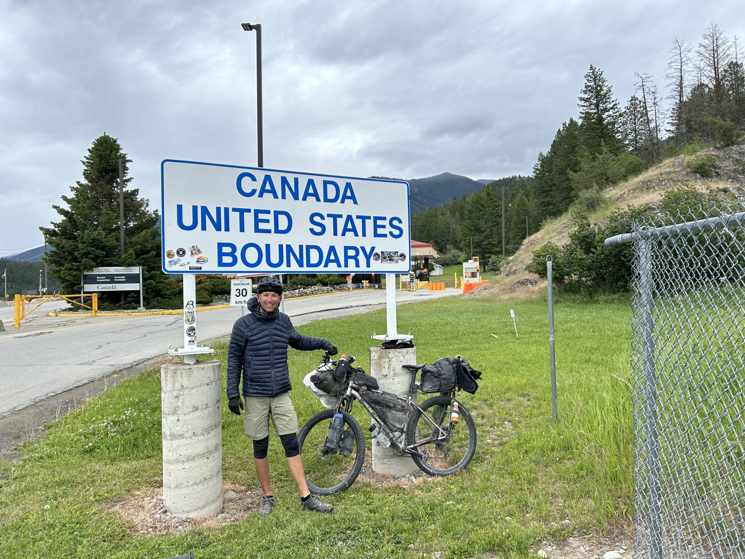
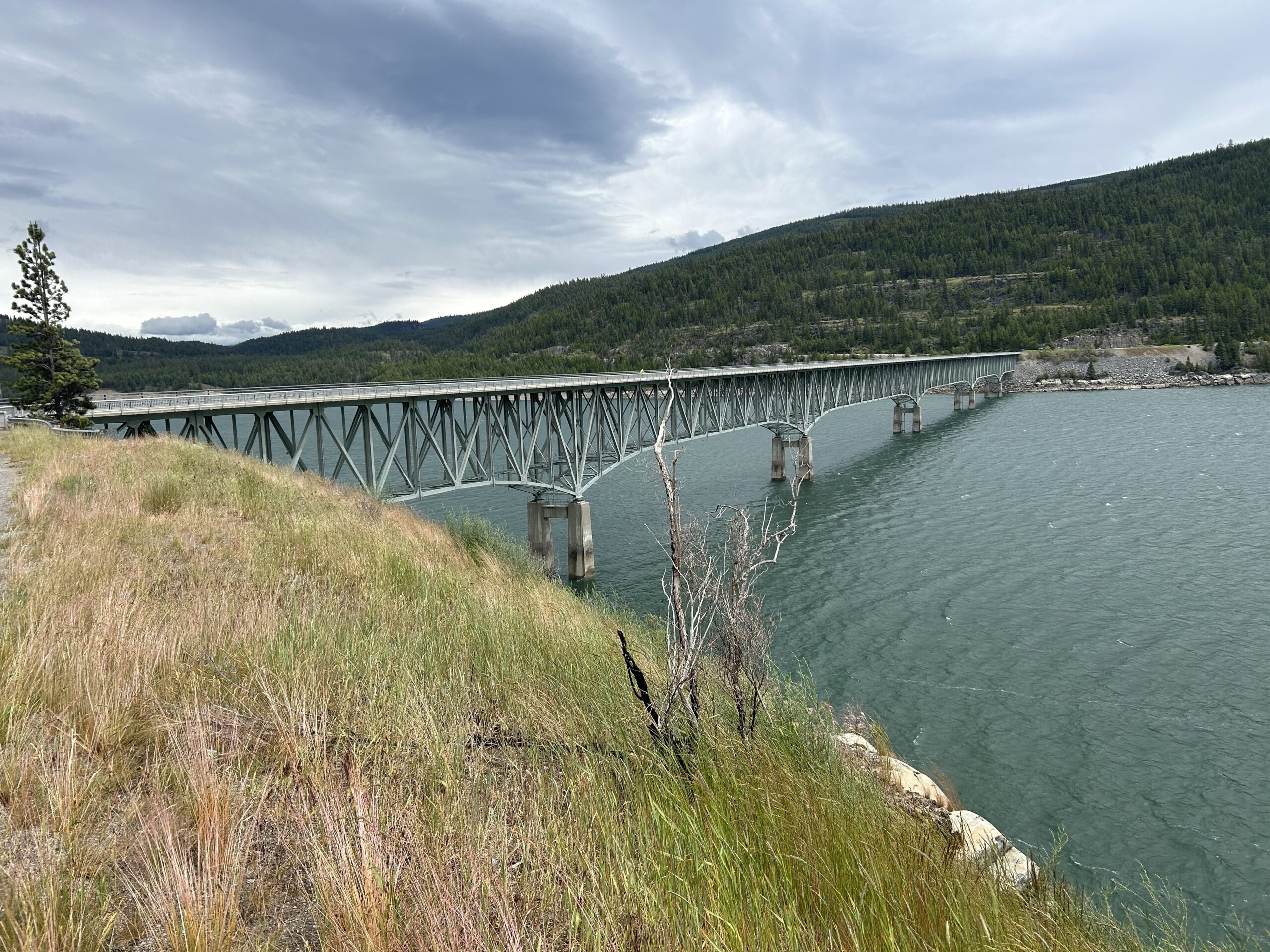
Day 39: Reaching the end of the WWR
Today we cycled from the Tobacco River Campground to the Canadian border, and from there to the Stillwater Lake Campground on our way to Whitefish. The day was clouded. In the morning there was a partial blue sky in the east, but it did not reach us. We clouds, some rain, some hail, and some sun today. In the morning we rode paved roads to the border and Eureka. A little after Eureka we rode on gravel and double-track.
...
Day 38: The end of the summer weather
Today we cycled from the Kilbrennen Lake Campground to the Tobacco River Campground 18mm before the Canadian border. The day started completely clouded, and as forecasted, the rain started at 10:30. After 13:00 it became better again with one or two short rain showers. We rode non-paved for most of the day, only a few kilometers on paved roads.
Riding statistics: on Saturday, June 15, 2024, day 46 on the route, it took 10:00h (06:48h moving time), between 6:51 and 4:52, to cover 113 km (70 miles), including 1469 m (4820 ft) elevation gain, with an average speed of 15.0 km/h (9.3 mph), while reaching a maximum speed of 48 km/h (29.8 mph). During this ride the average temperature was 10 °C (50 °F) with a minimum of 6 °C (43 °F) and a maximum of 21 °C (70 °F).
...
Day 37: A deli at the perfect location
Today we cycled from our dispersed campsite at the Noxon Reservoir to the Kilbrennen Lake Campground. We had blue skies with a few clouds. The road surfaces were a mixture of paved and non-paved.
Riding statistics: on Friday, June 14, 2024, day 45 on the route, it took 10:00h (06:48h moving time), between 6:51 and 4:52, to cover 113 km (70 miles), including 1419 m (4656 ft) elevation gain, with an average speed of 17.0 km/h (10.6 mph), while reaching a maximum speed of 48 km/h (29.8 mph). During this ride the average temperature was 25 °C (77 °F) with a minimum of 12 °C (54 °F) and a maximum of 42 °C (108 °F).
...
Day 36: The campsite that was not there
Today we rode from the City Limits RV Park in Wallace to a dispersed campsite at the Noxon Reservoir. We had blue skies all day. We rode a quarter of the distance on a quiet paved road and the other half on non-paved (gravel, double-track, loose sand, etc).
Riding statistics: on Thursday, June 13, 2024, day 44 on the route, it took 10:47h (07:49h moving time), between 6:01 and 4:49, to cover 106 km (66 miles), including 1710 m (5611 ft) elevation gain, with an average speed of 14.0 km/h (8.7 mph), while reaching a maximum speed of 43 km/h (26.7 mph). During this ride the average temperature was 21 °C (70 °F) with a minimum of 3 °C (37 °F) and a maximum of 35 °C (95 °F).
...
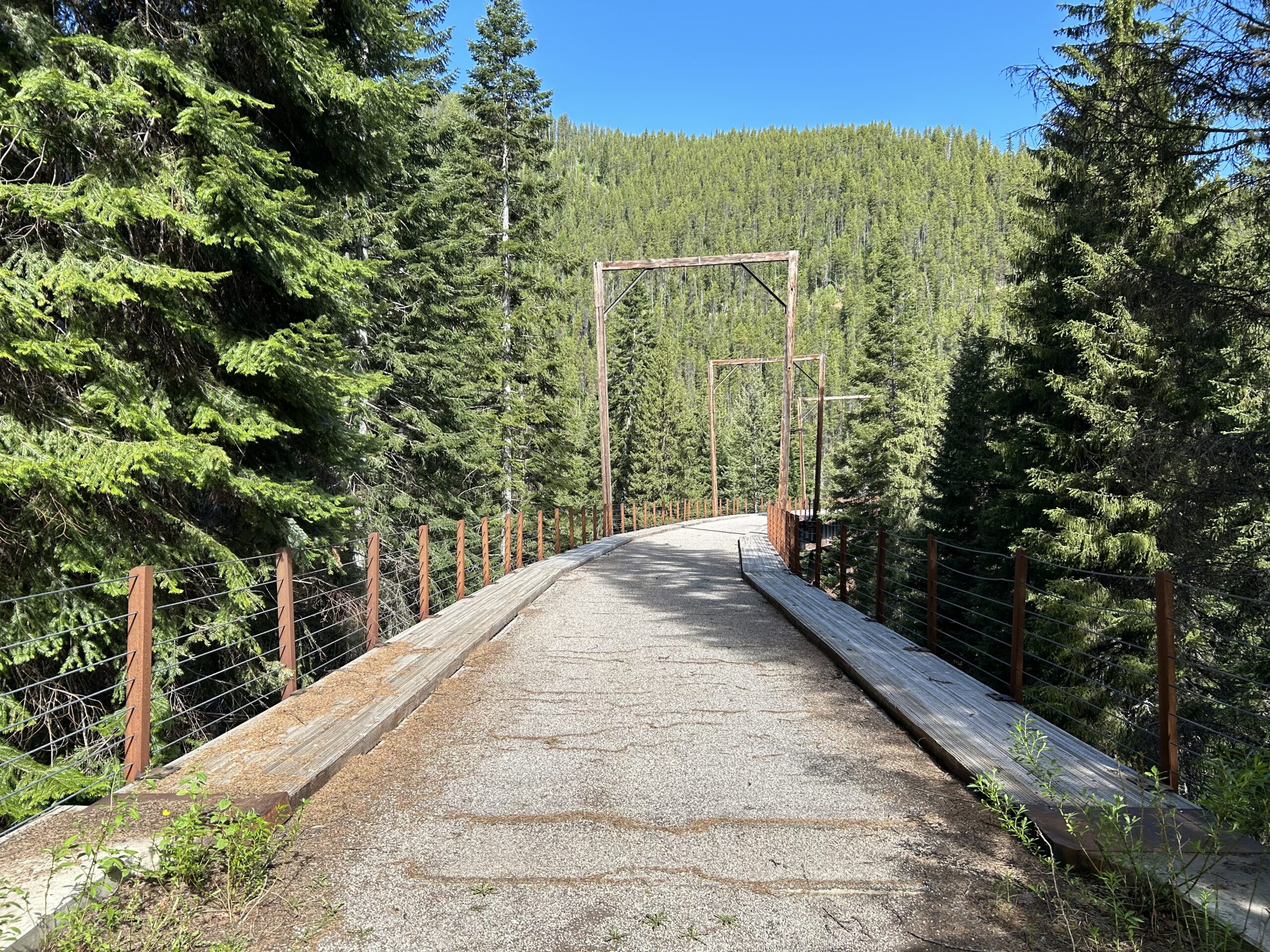
Day 35: The Hiawatha Trail
Today we cycled from our dispersed campsite on the Olympian Trail to the City Limits RV Park in Wallace. We had blue skies all day. A little bit of a breeze which felt chilly sometimes. We road non-paved all day, except in the town of Wallace.
Riding statistics: on Wednesday, June 12, 2024, day 43 on the route, it took 11:02h (07:53h moving time), between 6:56 and 5:59, to cover 98 km (60 miles), including 1208 m (3963 ft) elevation gain, with an average speed of 15.0 km/h (9.3 mph), while reaching a maximum speed of 44 km/h (27.3 mph). During this ride the average temperature was 21 °C (70 °F) with a minimum of 4 °C (39 °F) and a maximum of 42 °C (108 °F).
...
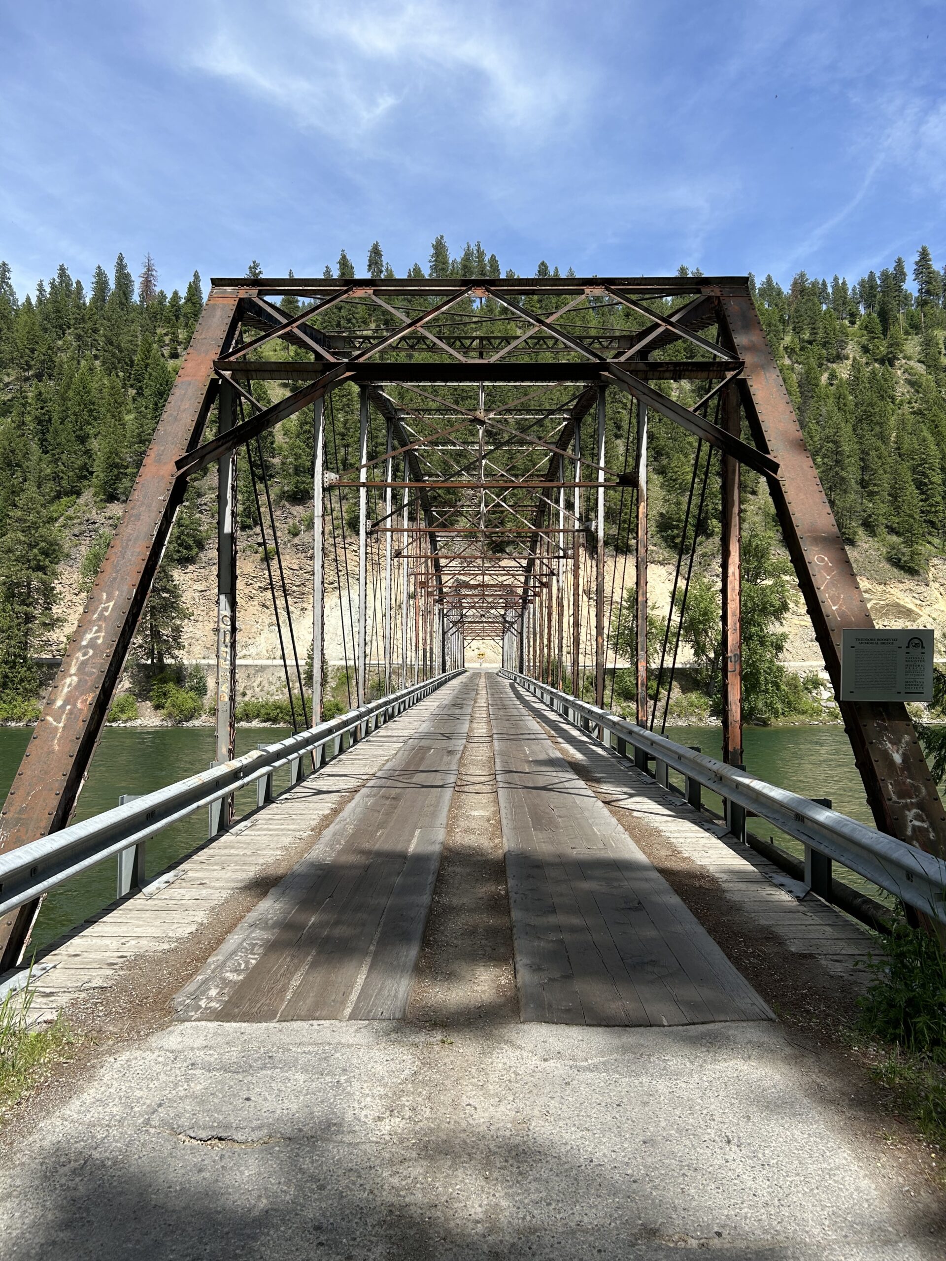
Day 34: Back to the original route
Today we cycled from the Kreis Pond Campground to a dispersed campsite on the Olympian Trail between St Regius and Haugan. The morning started cloudy, but after a few hours we had lots of sunshine. We rode non-paved most of the day, except between Superior and St Regius.
Riding statistics: on Tuesday, June 11, 2024, day 42 on the route, it took 11:02h (07:53h moving time), between 6:56 and 5:59, to cover 111 km (68 miles), including 1501 m (4925 ft) elevation gain, with an average speed of 14.0 km/h (8.7 mph), while reaching a maximum speed of 48 km/h (29.8 mph). During this ride the average temperature was 25 °C (77 °F) with a minimum of 8 °C (46 °F) and a maximum of 46 °C (115 °F).
...
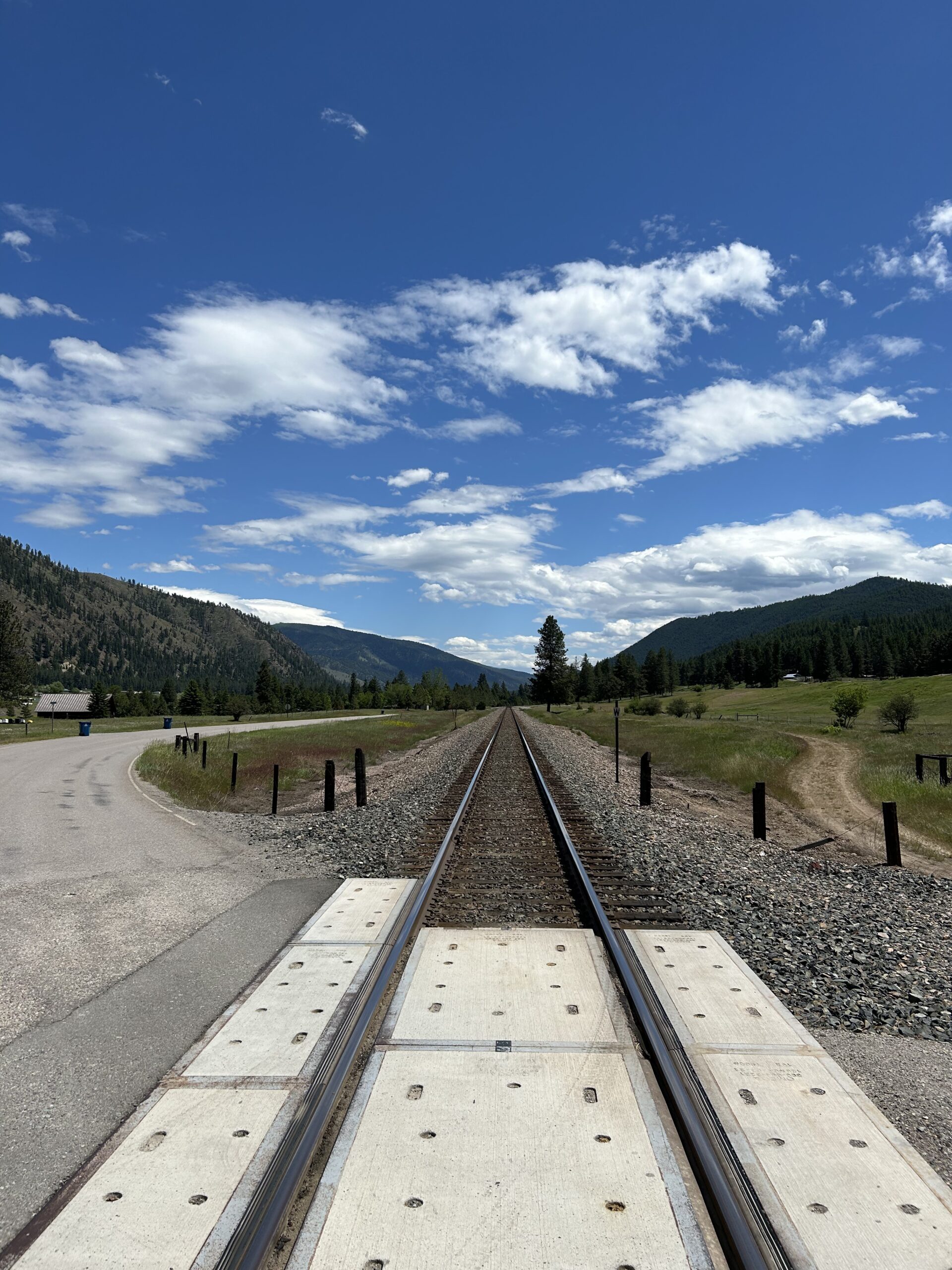
Day 33: The detour continues
Today we cycled from the Angler’s Roost RV Park in Hamilton to Kreis Pond Campground between Missoula and Superior. We had clouds and sun all day. A little bit of rain when riding out of Missoula. We had a lot of paved roads, but ended the day on gravel.
Riding statistics: on Monday, June 10, 2024, day 41 on the route, it took 11:01h (07:50h moving time), between 7:00 and 6:02, to cover 141 km (87 miles), including 672 m (2205 ft) elevation gain, with an average speed of 18.0 km/h (11.2 mph), while reaching a maximum speed of 46 km/h (28.6 mph). During this ride the average temperature was 24 °C (75 °F) with a minimum of 10 °C (50 °F) and a maximum of 35 °C (95 °F).
...
Day 32: Again a huge detour because of snow
Today we cycled from the Spring Creek Campground to Angler’s Roost RV Park close to Hamilton. The day started with sun and dark clouds, which changed to blue skies with a few clouds, and later to very threatening clouds, followed by rain showers and lightning, and finished with threatening clouds and some light rainfall. We cycled on paved roads all day.
Riding statistics: on Sunday, June 9, 2024, day 40 on the route, it took 11:38h (07:29h moving time), between 6:35 and 6:14, to cover 137 km (85 miles), including 1235 m (4052 ft) elevation gain, with an average speed of 18.0 km/h (11.2 mph), while reaching a maximum speed of 53 km/h (32.9 mph). During this ride the average temperature was 26 °C (79 °F) with a minimum of 12 °C (54 °F) and a maximum of 42 °C (108 °F).
...